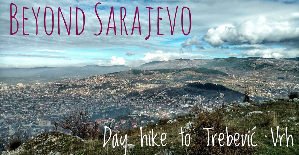
Beautiful dayhike from Sarajevo city to the top of Trebević mountain


- Brief description
-
Where nature meets culture. A pleasant dayhike from Sarajevo city centre (Bistrik neighbourhood) through the forest up to Trebević peak and back to town along the ridge.
- Difficulty
-
easy
- Rating
-
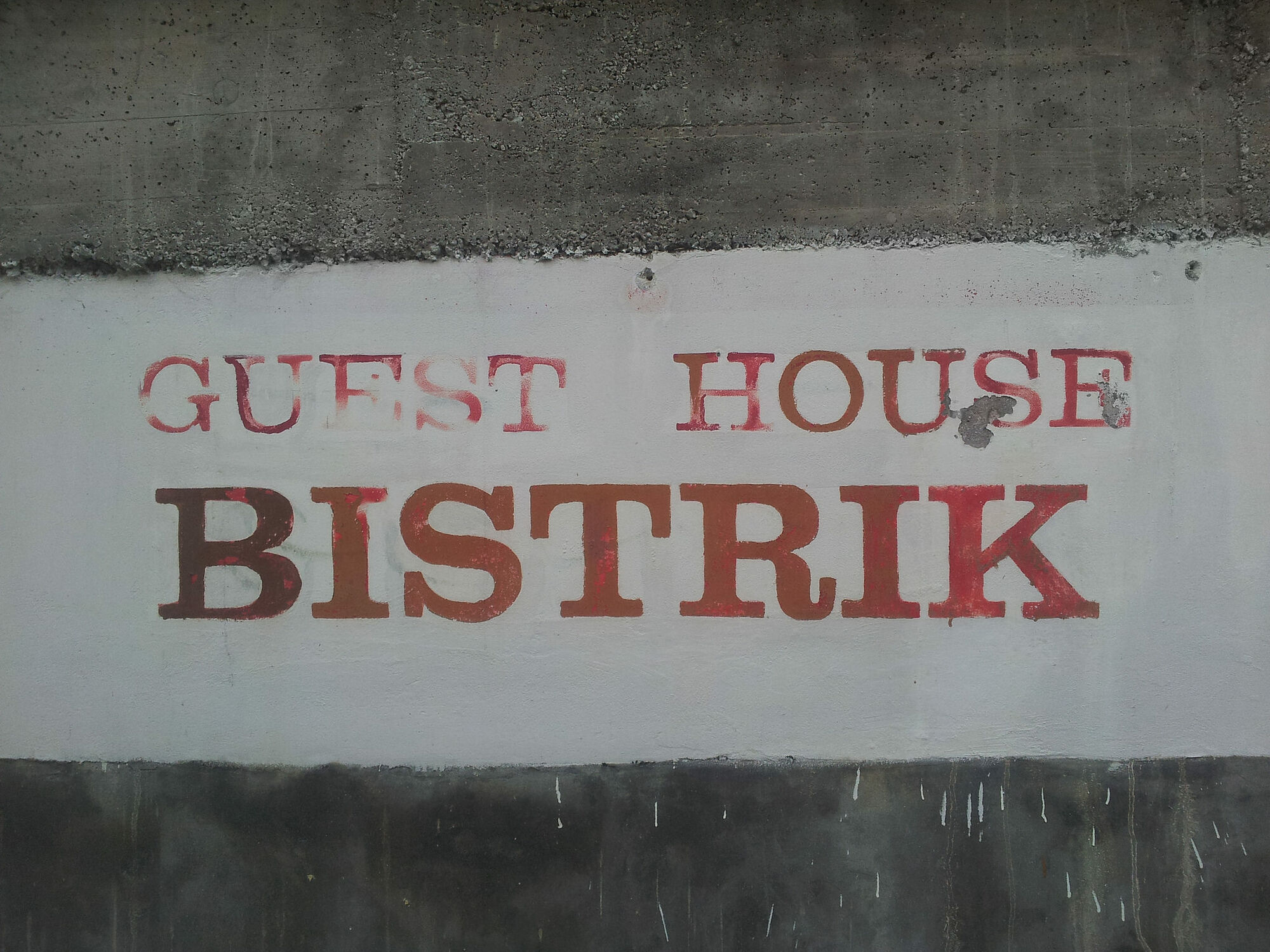
- Starting point
-
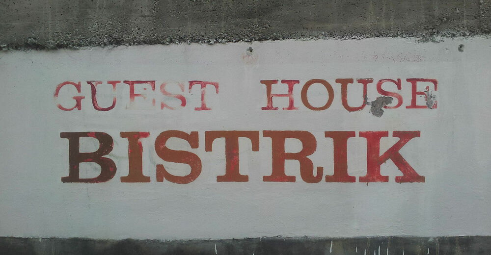
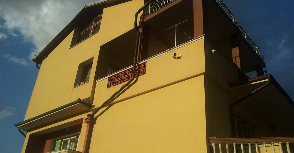
Guesthouse Bistrik, Garaplina 14a
- Route
-
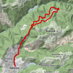
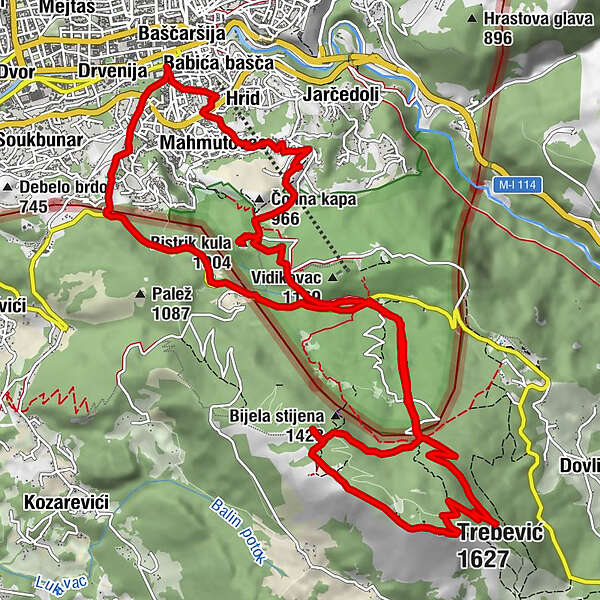
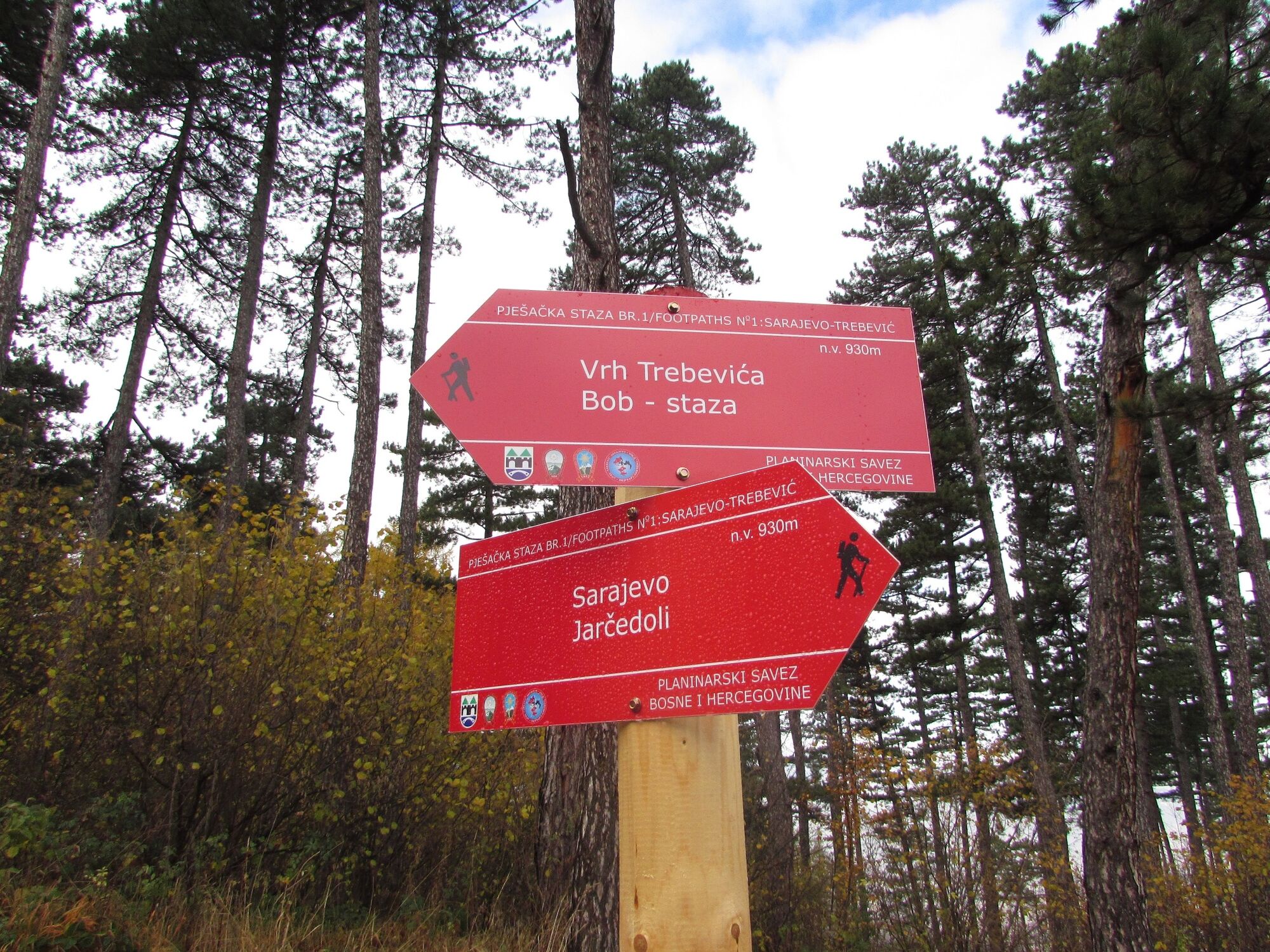
Sarajevo0.1 kmHrid0.2 kmMahmutovac0.3 kmMala kapa (897 m)2.1 kmBistrik kula (1,004 m)3.3 kmPrvi Šumar5.4 kmPD Dobre vode7.0 kmTrebević-Sofe (1,627 m)10.3 kmPrvi Šumar15.0 kmSarajevo18.0 kmŠirokača19.2 kmBaščaršija19.9 kmDžamija Čokadži Hadži Sulejmana20.0 kmBistrik20.1 kmHrid20.4 kmBabića bašča20.5 km
- Best season
-
JanFebMarAprMayJunJulAugSepOctNovDec
- Description
-
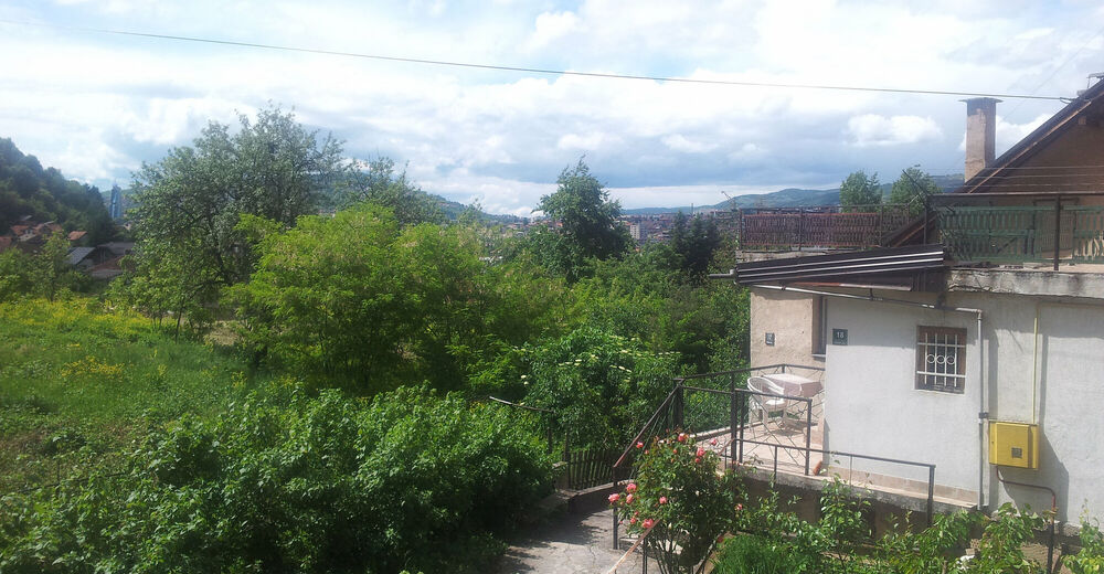
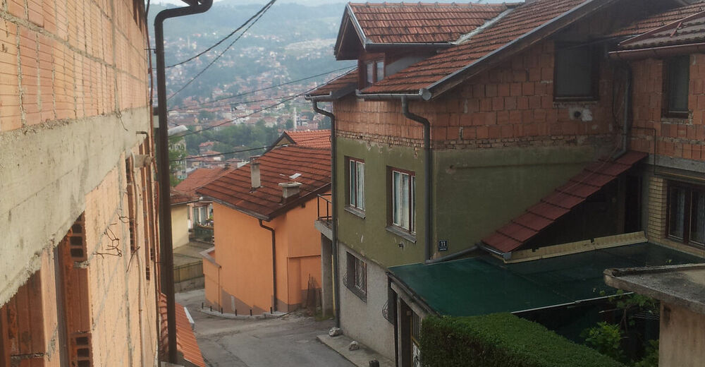
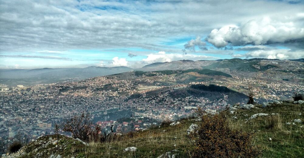
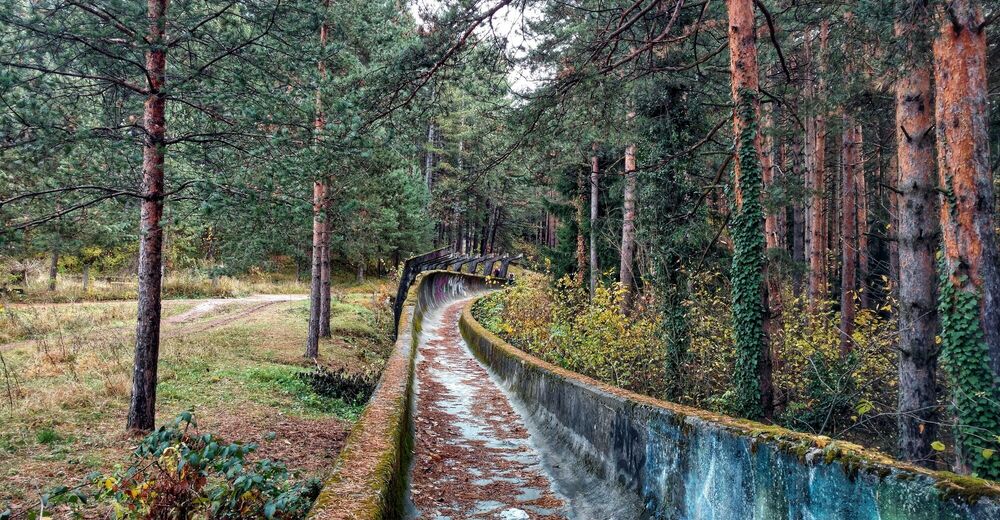
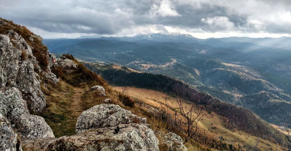
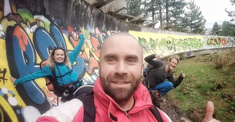
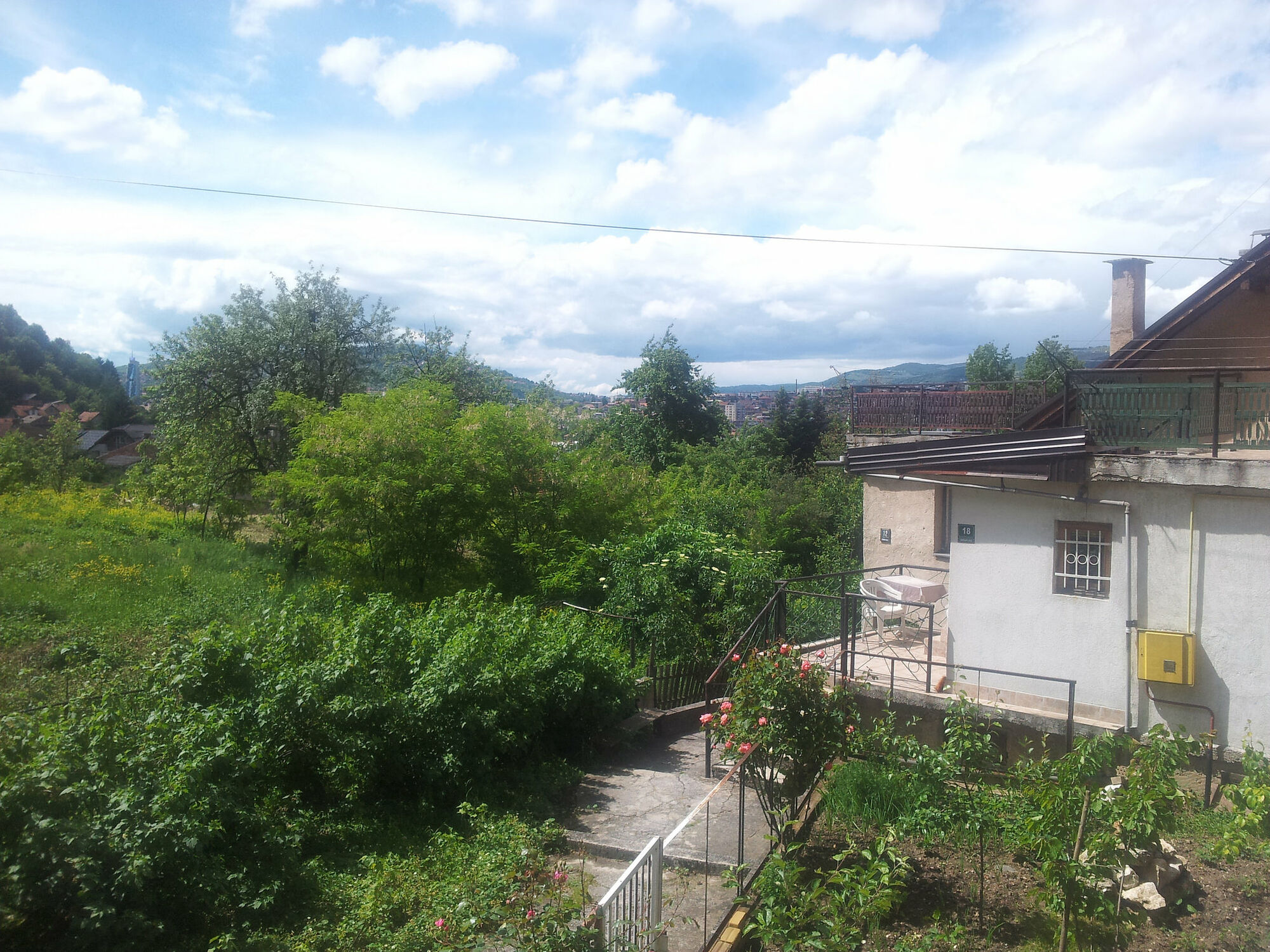
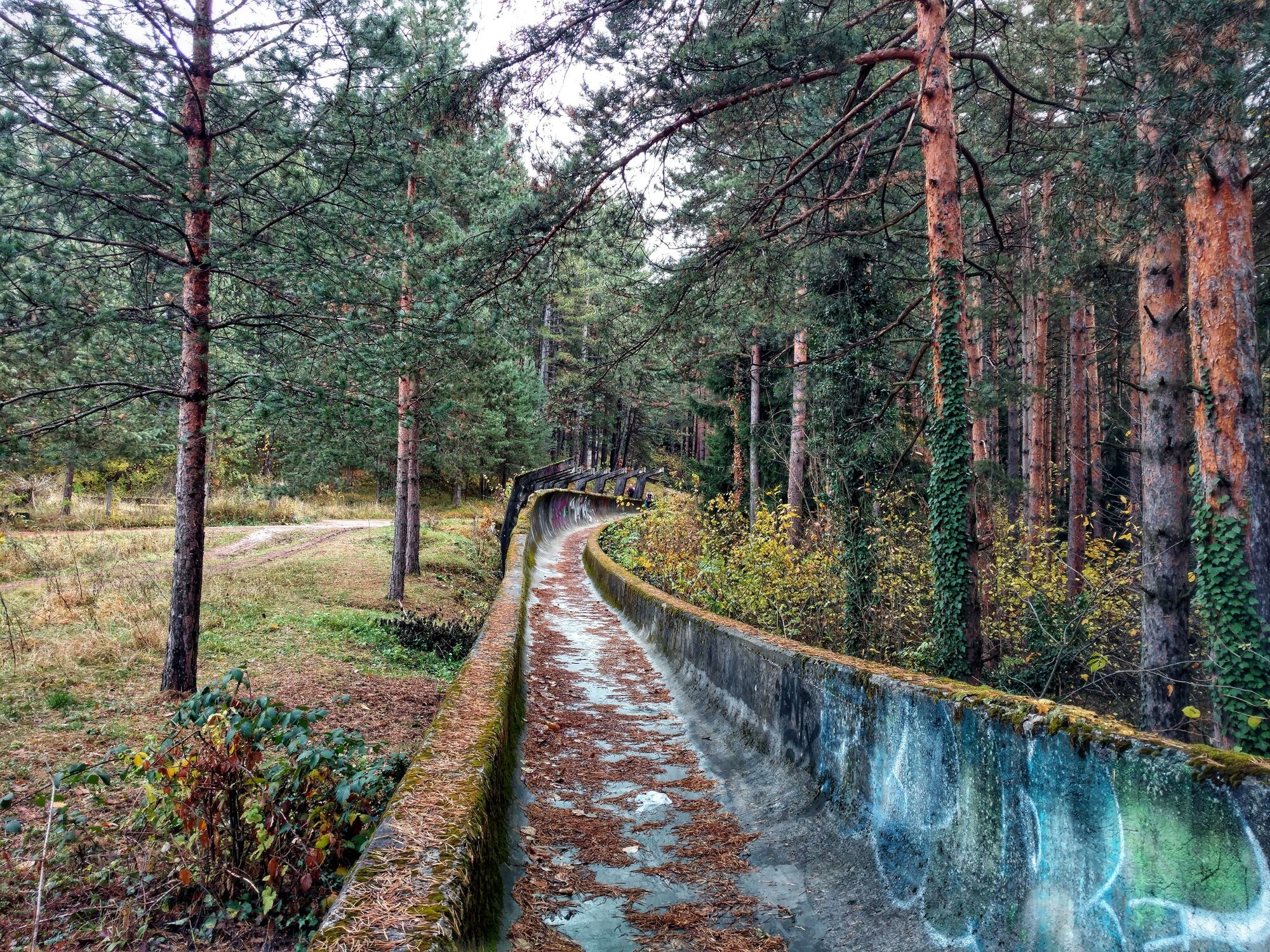
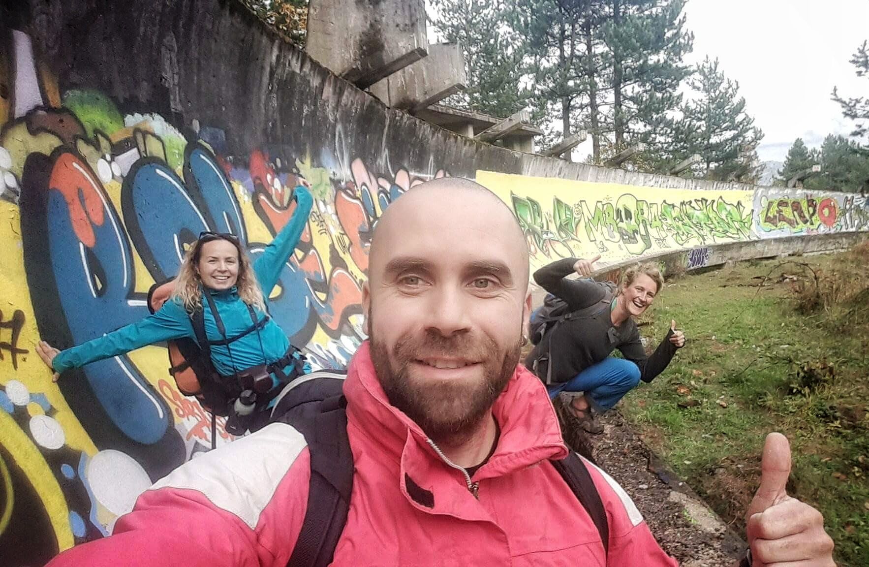
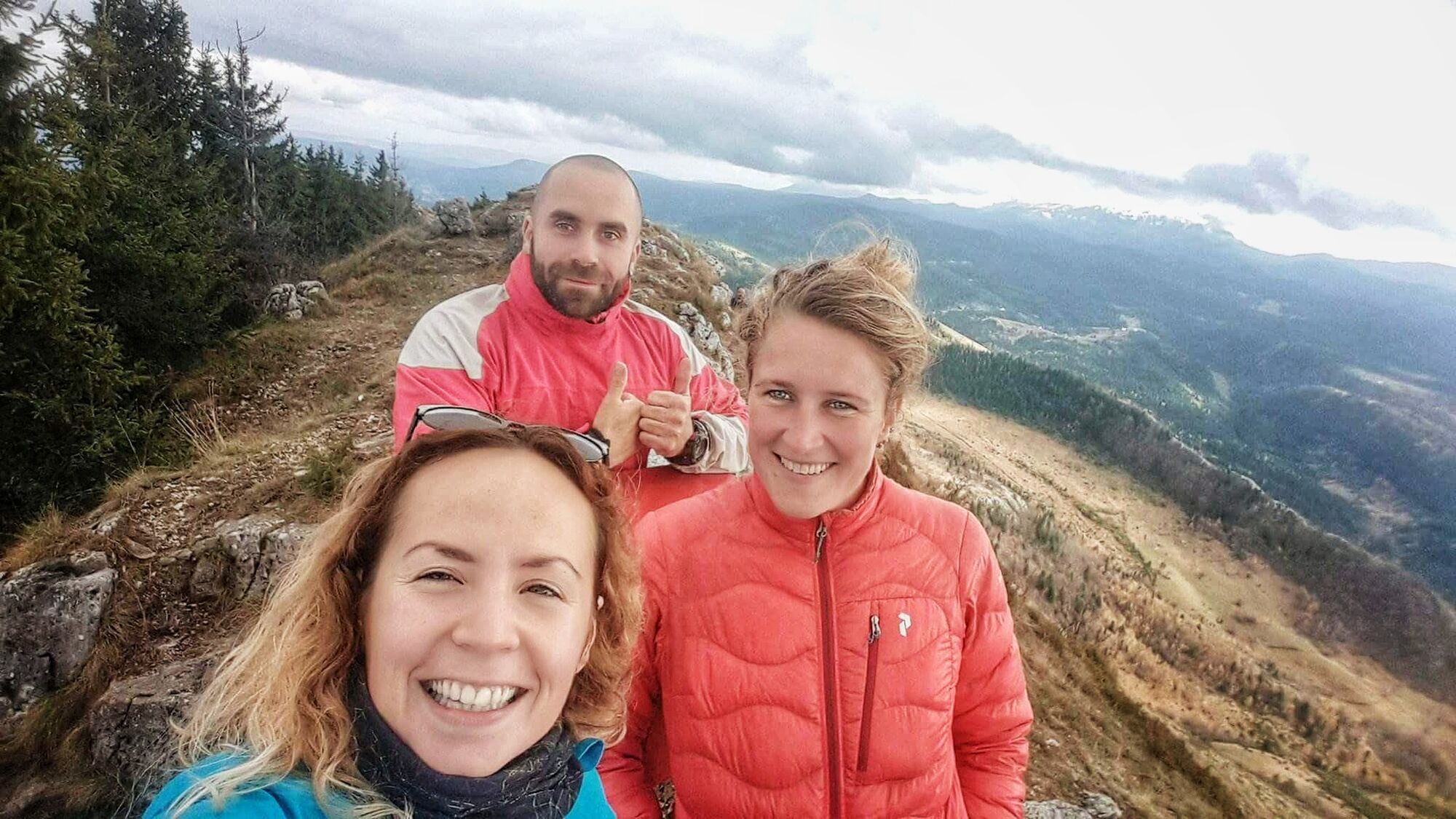
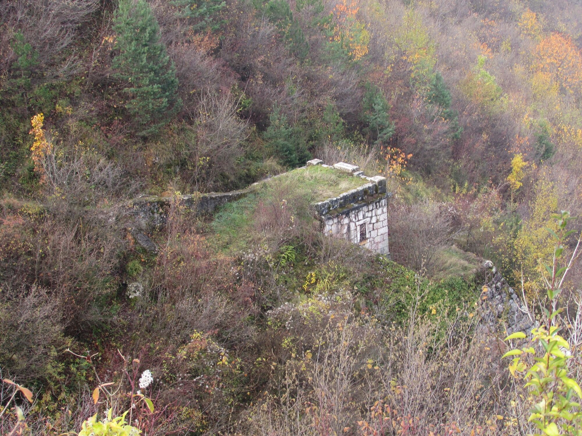
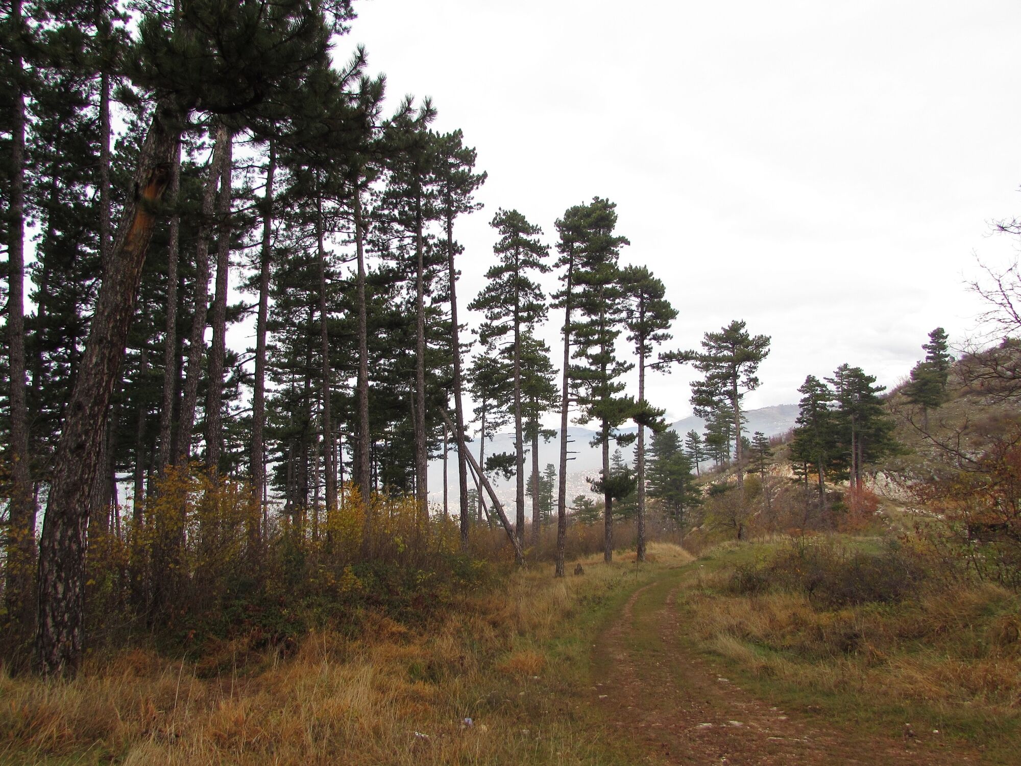
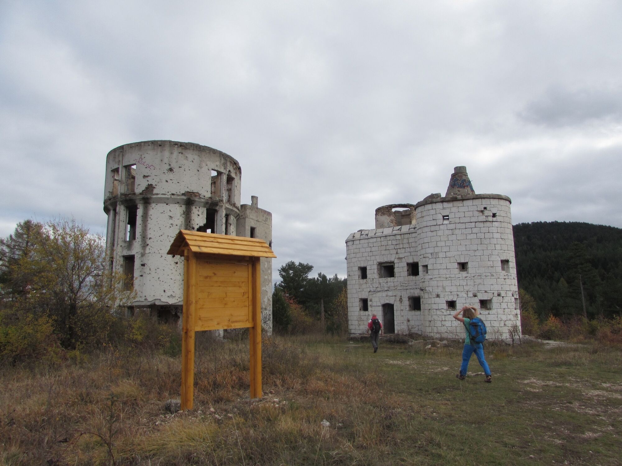
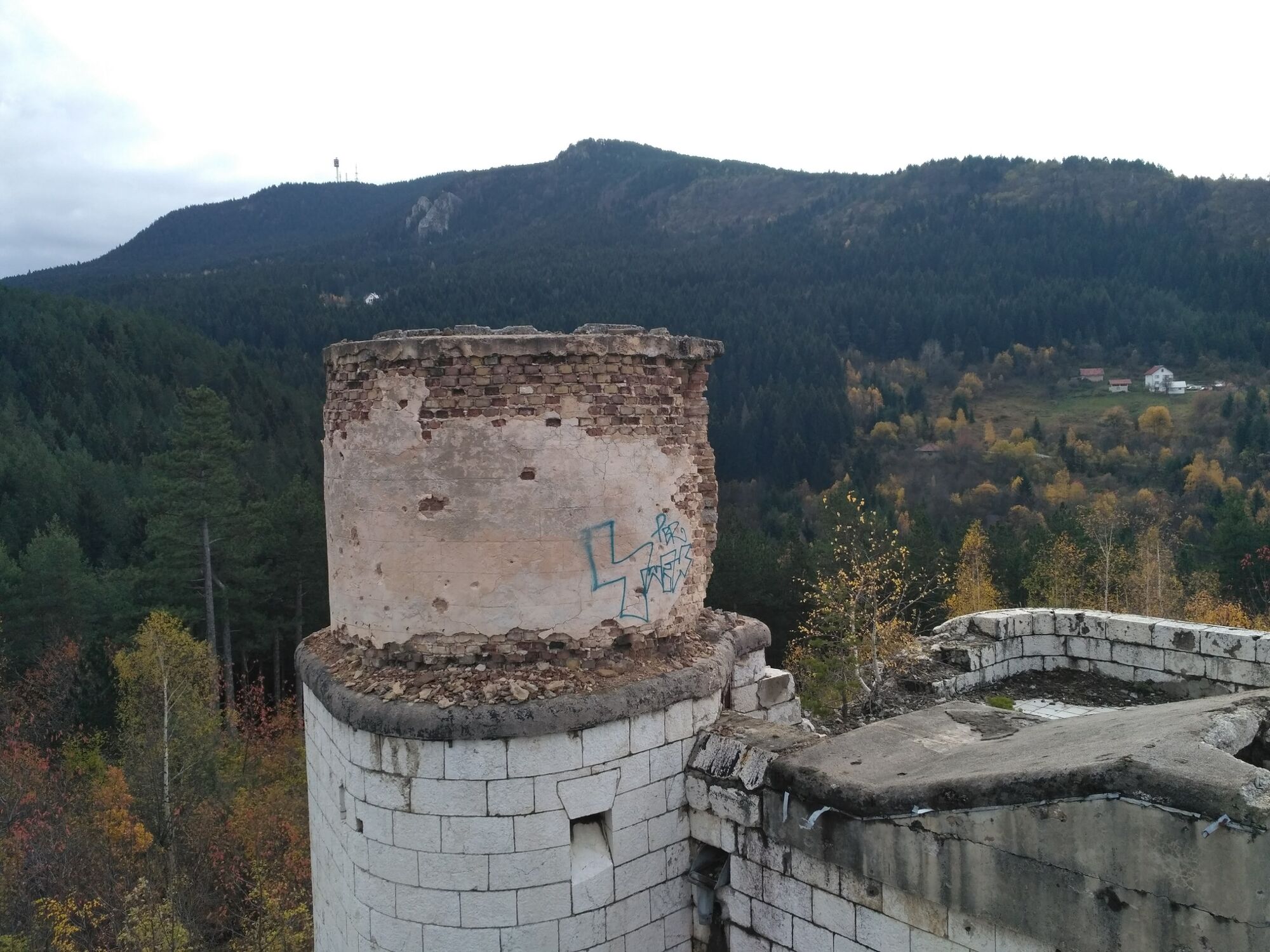
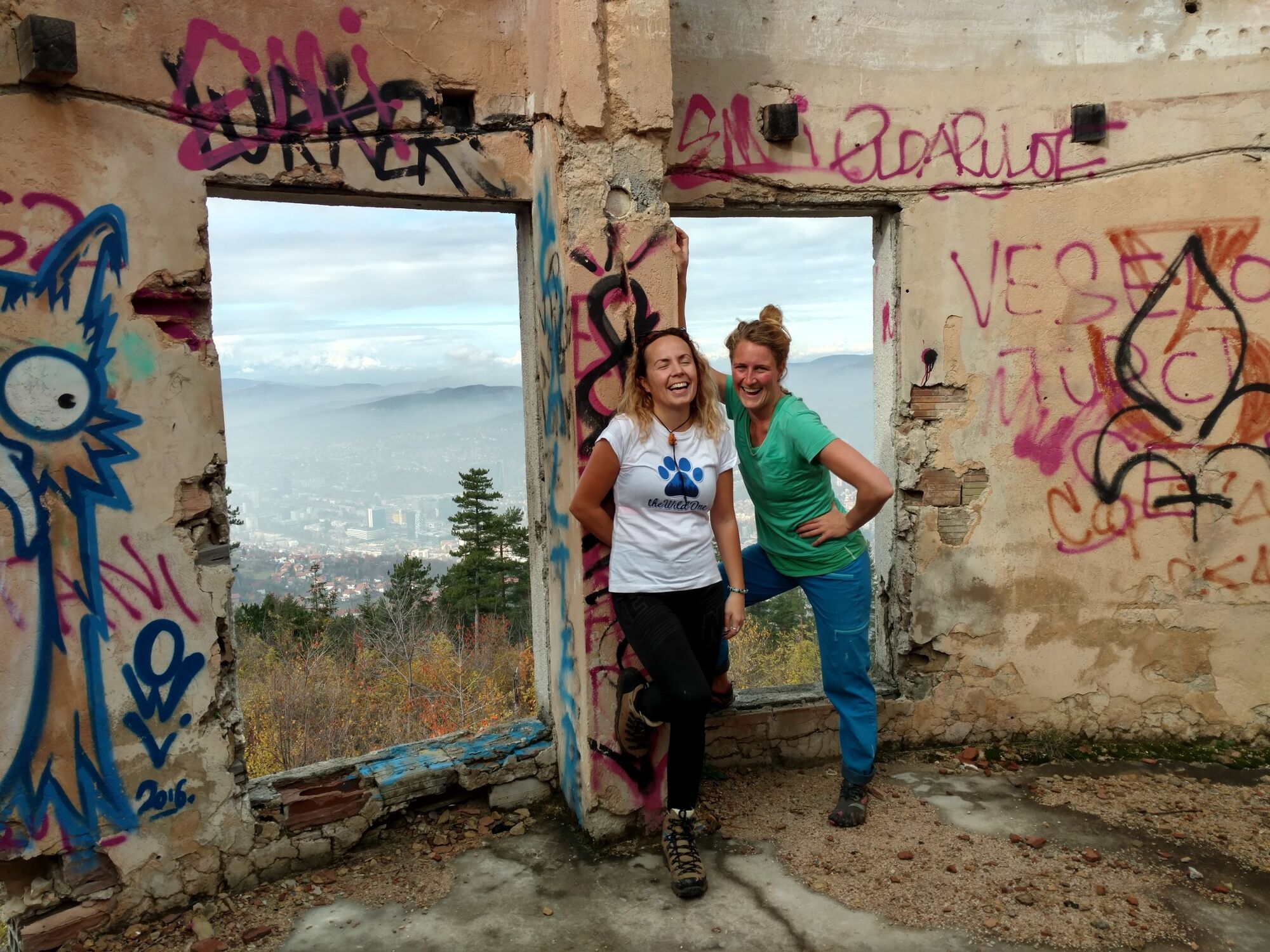
One of the things I love about Sarajevo is the fact that the city is surrounded by mountains. From guesthouse Bistrik it is literary only a 15 minutes uphill walk to leave all the city fuzz behind. This hike takes you even further. It takes you to the old abandonned Olympic bobsledtrack, it passes by several remains of the Austrian-Hongarian empire, there are viewpoints where you can see the other mountains near Sarajevo and it leads you to the peak of Trebević where you get to see what's behind. The higher mountains.
- Highest point
- 1,606 m
- Endpoint
-
Guesthouse Bistrik, Garaplina 14a
- Height profile
-
 © outdooractive.com
 - Additional information


-

-
AuthorThe tour Beautiful dayhike from Sarajevo city to the top of Trebević mountain is used by outdooractive.com provided.