The village of Rakitnica -- Mala Ćaba summit, Treskavica (2088 MASL)


- Brief description
-
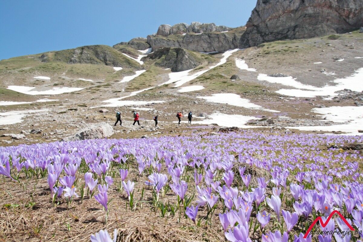
This is an intermediate walk in terms of fitness requirements, and it offers views of Mt Visočicia and Mt Bjelašnica. Stay on the marked trail, because Mt Treskavica is famous not only for its beauty, but also for the landmines from the war.
- Starting point
-
The village of Rakitnica
- Route
-
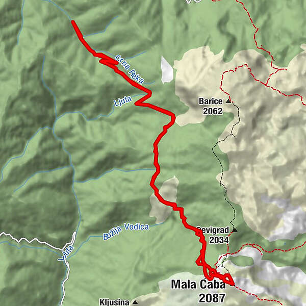
Baletina Voda3.9 kmMala Ćaba (2,087 m)8.0 kmBaletina Voda12.2 km
- Description
-
The village of Rakitnica can be reached by road from Sarajevo, via Mt Igman, Mt Bjelašnica and the village of Šabići, where the signpost is located.
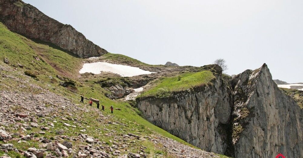
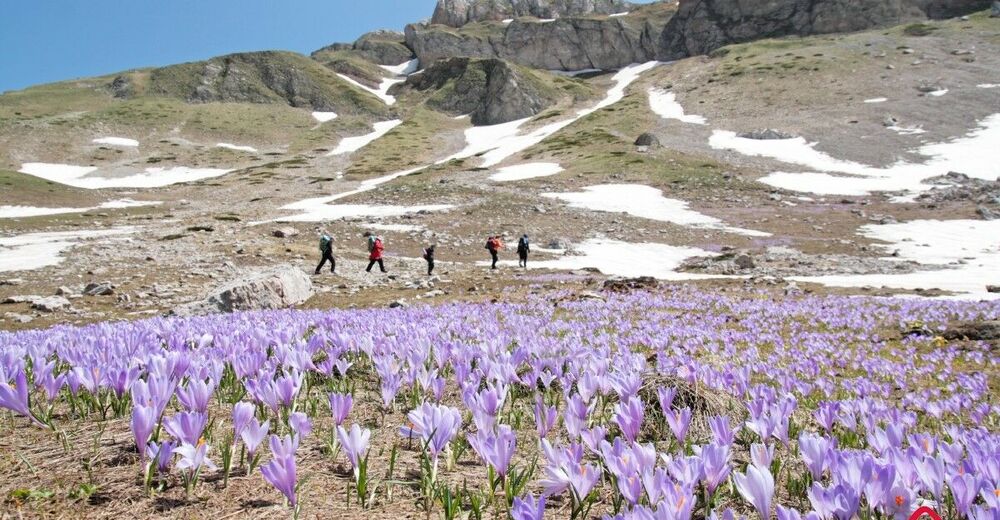
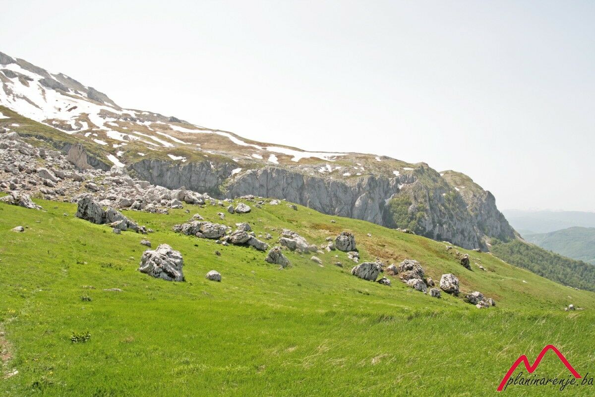
You can park by the fountain-spring just outside the village, and the trail leads through the forest. After about 30 minutes walk you reach a plateau which offers a wonderful view of the mountains Visočica and Bjelašnica. Not far from there the road branches off to the left, in the direction of Baletine vode, where there's a potable spring. The trail continues through a meadow all the way to a fork where the left branch goes to the villages of Barice and Đevigrad, the right to the summit Mala Ćaba. The area is rich in water and wellsprings, and can be exceptionally windy.
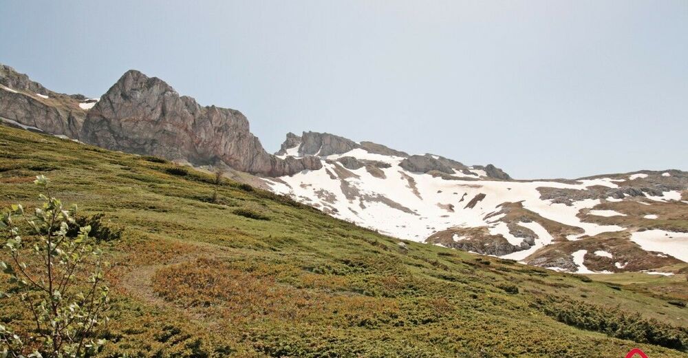
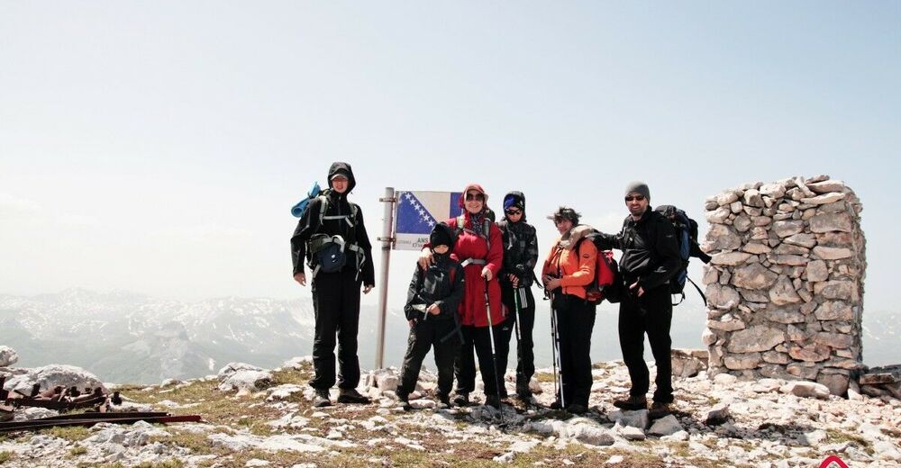
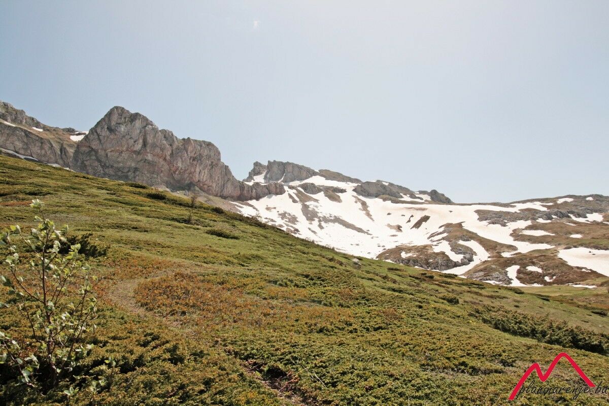
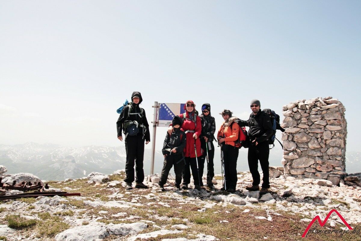
The view from the summit is spectacular, you can see the massifs of Treskavica and Visočica. It can often be rather windy on the summit, so caution is advised.
- Directions
-
From the fountain head down the macadam road to Baletine vode. There you should get off the trail and head south to the foot of the ridge along the marked trail leading across the meadows. At Ploče the trail gently bends eastwards and leads to the spring of Bijele vode. From the spring go east uphill towards the summit Mala Ćaba.
- Highest point
- 2,057 m
- Endpoint
-
Mala Ćaba summit
- Height profile
-
 © outdooractive.com
 - Equipment
-
Standard mountaineering equipment, in accordance with the weather.
- Safety instructions
-
The trail is technically undemanding but there is risk of landmines and you should stay on the marked trail.
- Additional information
- Directions
-
Follow the highway M18 to Krupac and, just beyond the quarry, turn right on the regional road R442a to the Bjelasnica and Igman. When you reach Hotel Maršal on Bjelašnica continue straigt ahead, then descend all the way down to Šabići. From Šabići continue straight ahead to the village of Rakitnica, then down the macadam road up the river Rakitnica to the fountain where you can park your car.
- Public transportation
-
Take a bus to Sinanovići and get off in the village of Šabići.
- Parking
-
Park at the lay-by by the fountain.

-

-
AuthorThe tour The village of Rakitnica -- Mala Ćaba summit, Treskavica (2088 MASL) is used by outdooractive.com provided.