
- Brief description
-
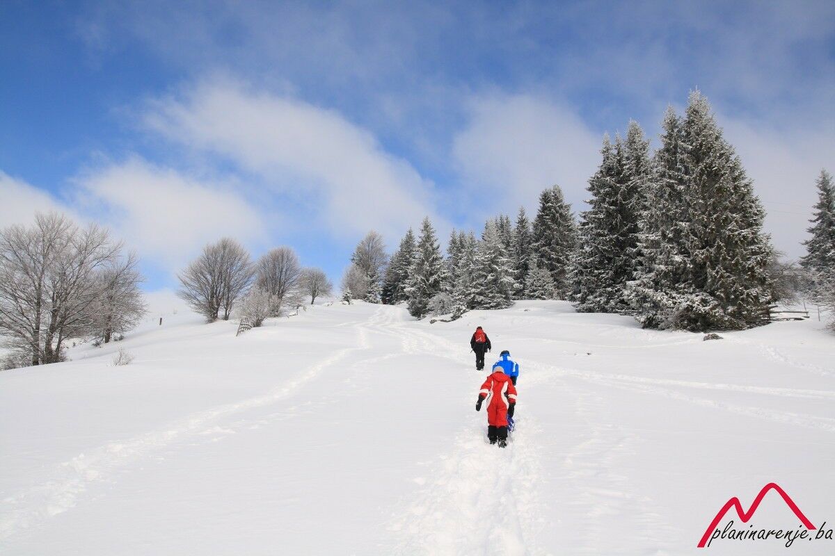
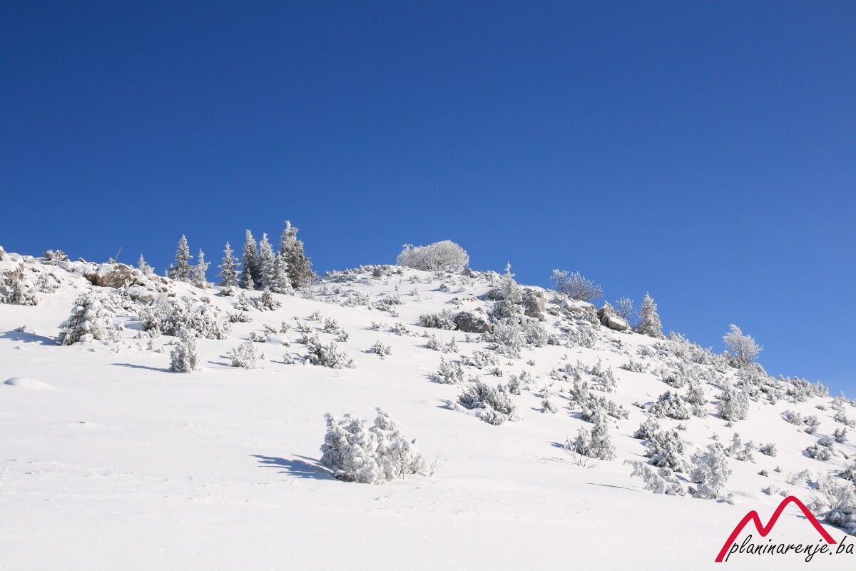
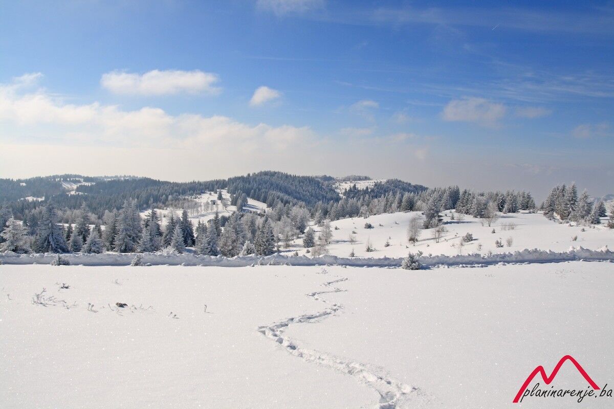
Easy walk, good for the time of year when the snow is deep, the weather bad and the days short. Although the altitude is just slightly over 1500 metres, you will enjoy a beautiful view of the mountains round Sarajevo.
- Starting point
-
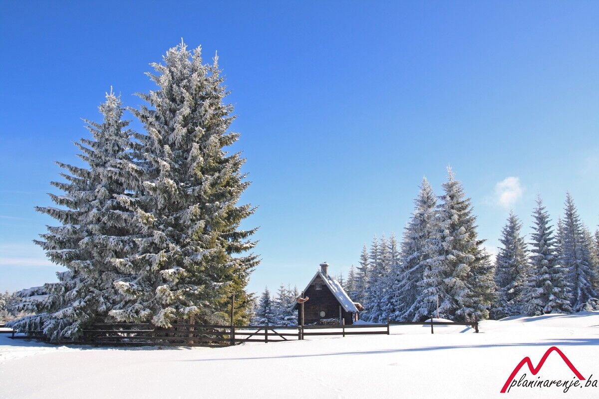
Čavljak
- Route
-
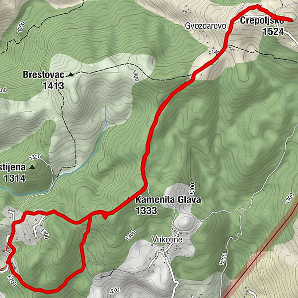
Kamenita Glava (1,333 m)1.8 kmKod Brace2.7 kmGvozdarevo3.7 kmCrepoljsko (1,524 m)4.5 kmKod Brace6.3 kmKamenita Glava (1,333 m)7.2 kmPlaninarska kuća Čavljak8.7 km
- Description
-
The route leading to Sarajevski Ozren which involves easy and comfortable walk and approximately 300 m of climbing, starts at Čavljak and proceeds along a marked hiking trail which leads to the summit of Crepoljsko (1524 m above sea level). The path at Čavljak starts with a forest trail which ends in a macadam road leading to the houses at the foot of Crepoljsko after about 2 km. The path is characterized by gentle climb and the meadows which offer the view of Sarajevo and the mountains around the city, encompassing everything along with the Crepoljsko summit which dominates this area.
- Directions
-
From the lodge at Čavljak take either one of the two roads, south or north, it is all the same as they merge into one road after a kilometre. Proceed over Pjeskovita ravan on the road to Bukovik. After the cemetery, turn right, off the road, and pass by the weekend houses towards Crepoljsko.
- Highest point
- 1,497 m
- Endpoint
-
Crepoljsko
- Height profile
-
 © outdooractive.com
 - Equipment
-
Standard mountaineering equipment, in accordance with the weather.
- Safety instructions
-
The trail is technically undemanding and there is no risk of landmines.
- Additional information
- Directions
-
If you're going by your own vehicle head to Sedrenik over Bjelave and Podhrastovi. After Sedrenik turn left to the road leading to Barice. You can leave the car in Barice or keep going all the way to Čavljak.
- Public transportation
-
City van to Barice or taxi to Čavljak.
- Parking
-
Car park in Barice or Čavljak.

-

-
AuthorThe tour Čavljak-Crepoljsko is used by outdooractive.com provided.


-
Bosnien
44