
- Brief description
-
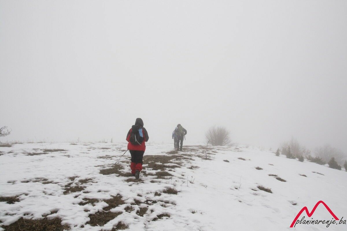
The walk is easy, technically undemanding, and it can be characterised as a mountain walk with only one serious ascent. It is good for short days and bad weather. There is one fountain along the way.
- Starting point
-
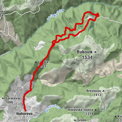
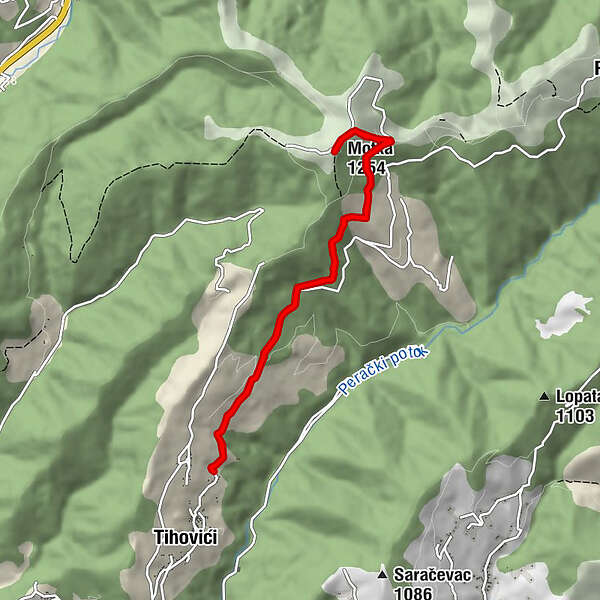
Village of Tihovići
- Route
-
Motka (1,254 m)4.6 kmPlaninarski dom Motka5.2 km
- Description
-
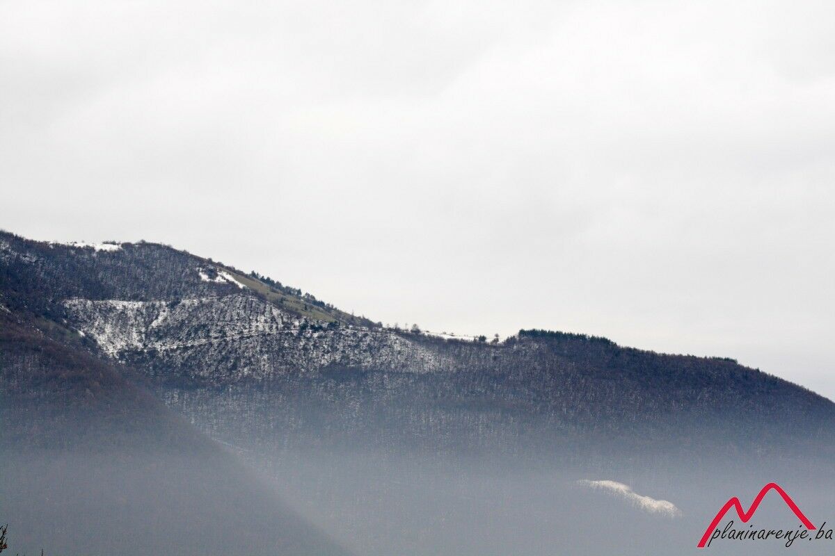
The route starts in the village of Tihovići near Vogošća via macadam road which leads to the Motka summit. Entire route is considered easier because of lower altitude and rather undemanding climb with a total altitude difference of about 450 meters. The path to the summit runs in the opposite direction from the path leading from Nahorevo to Skakavac, and between these two paths, one will find a valley with the stream of Perački Potok. In some places it offers a great view of the Bukovik summit.
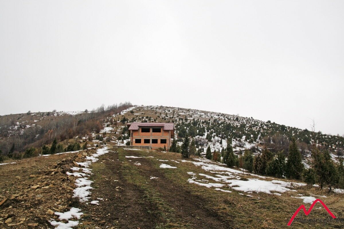
The path goes all the way to the PD Planinar Lodge and continues upwards to the summit itself.
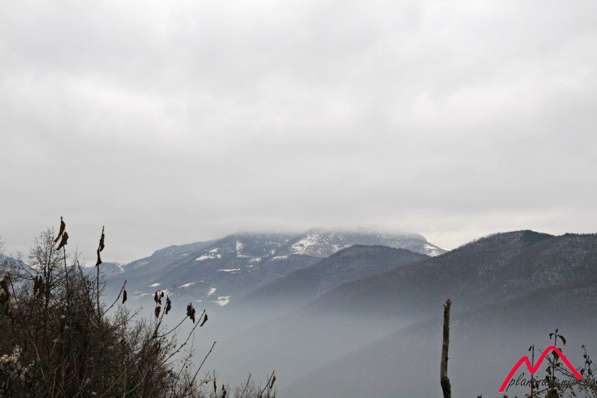
Upon reaching the summit, one will find table and chairs set up there, making it a great place for rest with a beautiful view from the Motka summit (1235 meters above sea level).
- Directions
-
From the village of Tihovići walk around 1.5 km down the macadam road, to where an arm branches off to the left into the forest, towards the PD "Planinar" lodge. From the lodge proceed uphill to the peak Motka.
- Highest point
- 1,233 m
- Endpoint
-
Motka peak
- Height profile
-
 © outdooractive.com
 - Equipment
-
Standard mountaineering equipment, in accordance with the weather.
- Safety instructions
-
The trail is technically undemanding and there is no risk of landmines.
- Tips
-
Try to do this walk in good weather, as Motka commands a wonderful view.
- Additional information
- Directions
-
Down M18, via Kobilja glava towards Vogošća. Turn right towards Blagoc by the old TAS factory, drive on that road to the village of Tihovići.
- Public transportation
-
Taxi or city bus to Vogošća.
- Parking
-
No car park, leave the car on a lay-by.

-

-
AuthorThe tour Tihovići - Motka is used by outdooractive.com provided.


-
Bosnien
44