
- Brief description
-
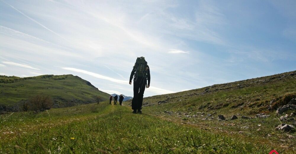
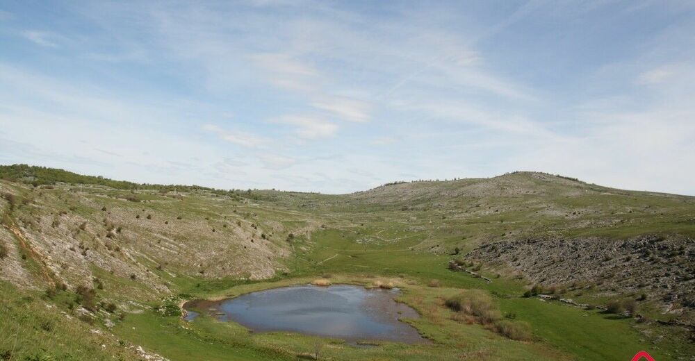
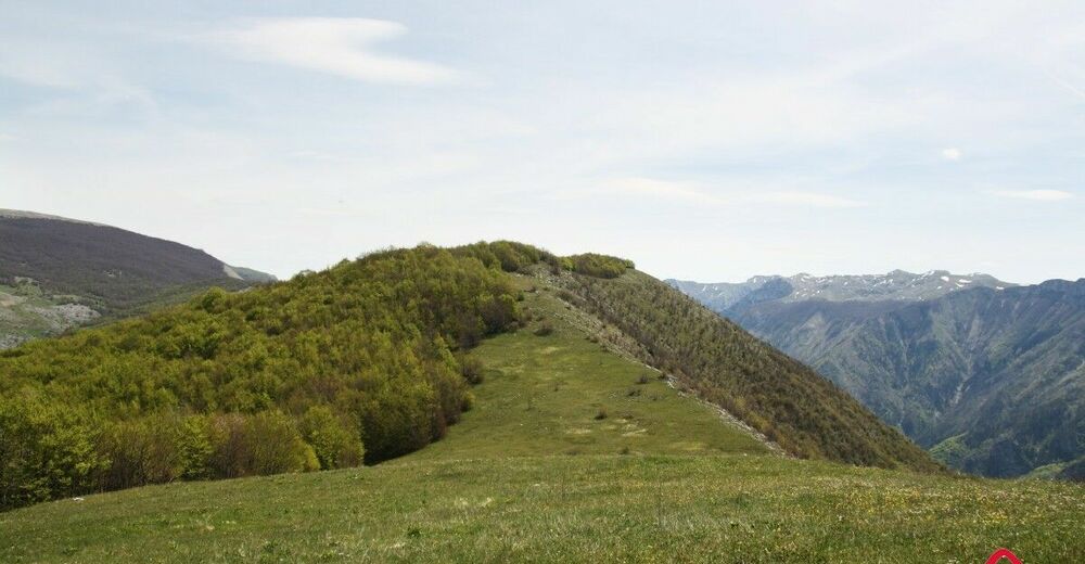
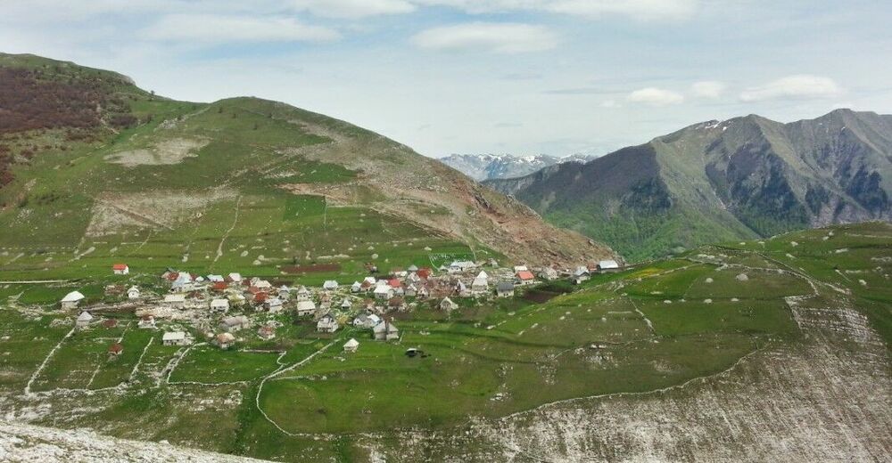
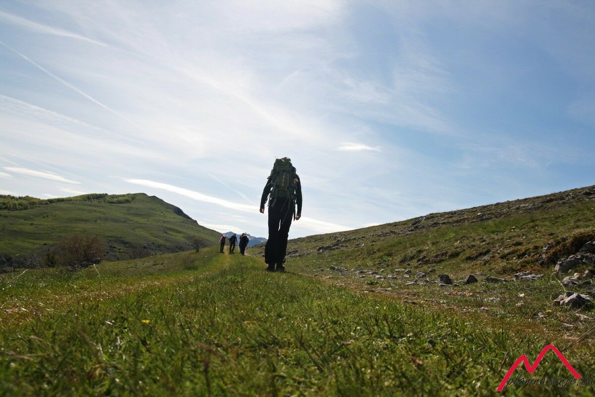
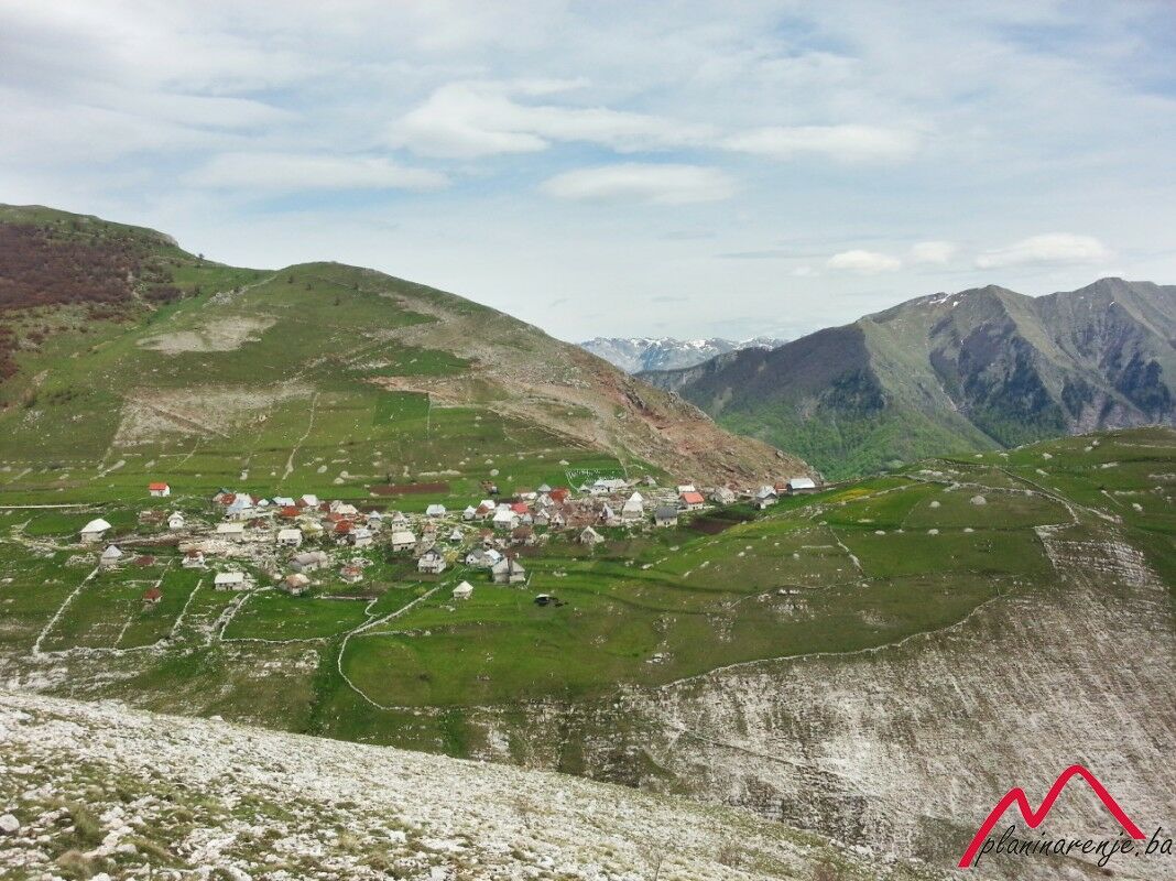
The walk is requires a high level of fitness. You will see lake Blatačko and enjoy a wonderful view of the canyon of the river Rakitnica, and Mt Visočica on the other side of the canyon. The end point is the village of Lukomir.
- Starting point
-
Vrdolje village
- Route
-
Na Krovu Svijeta14.2 km
- Description
-
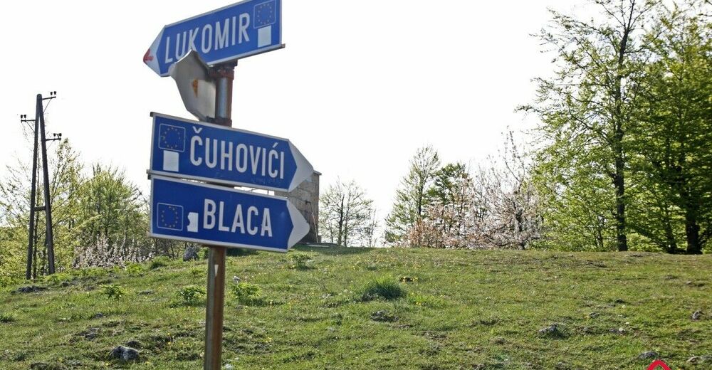
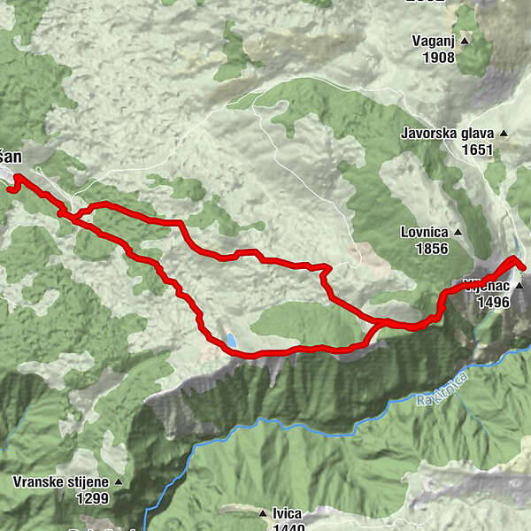
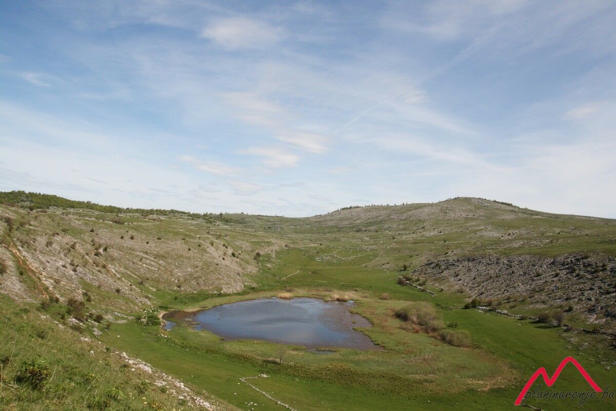
The road to lake Blatačko leads across the following points: Džepi - Vrdolja - lake Blatačko - Markovac - Veliki lisac - Lovnica - Lukomir - Čuhovići - Džepi. Lake Blatačko is located on Mt Bjelašnica and is most easily reached from the village of Džepi, near the town of Konjic. It is of glacial origin, 400 metres long, around 150 metres wide, up to 4 metres deep. It lies at 1150 MASL.
The village of Lukomir is usually not included in this walk as it makes it too long and strenuous, but you can visit it if you like. You can reach the village of Vrdolja by car, and then set out on foot towards Blace. The lake can be reached via a road connecting all the surrounding villages. It , kojim su povezana sva okolna sela. The road to Lukomir branches off just after you set out, as to the roads to the villages of Ćuhovići and Blaca a little further down. The ascent to the peaks Markovac (1450 MASL) and Veliki lisac (1504 MASL) starts by the lake. Both peaks offer a wonderful view of the canyon of the Rakitnica. Markovac is the only place in the area where there is mobile phone signal. The upper road to Lukomir via Lovnica is rough, tiring, and takes a long time to travel.
The return is easy, without ascents. You pass by the village of Ćuhovići and continue to the starting point, the village of Vrdolje.
- Directions
-
Take the road east from the village, and follow the signposts pointing to Blace. From the lake go uphill in the direction of Markovac, then along the rigde over Veliki lisac. Descend to the left (north) down the grassy slope after you leave the forest, then head to Lukomir via Lovnica.
From Lukomir go back the same way you came via Lovnica, then at the foot of Mali Lisac take the road leading northwest towards the village of Čuhovići. From Čuhovići keep going west to the village of Vrdolje.
- Highest point
- 1,520 m
- Endpoint
-
Lukomir Village
- Height profile
-
 © outdooractive.com
 - Equipment
-
Standard mountaineering equipment, in accordance with the weather.
- Safety instructions
-
The trail is technically undemanding (but it does require a high level of fitness) and there is no risk of landmines.
- Additional information
- Directions
-
Take M17 from Sarajevo and drive to the west, in the direction of Konjic. Just before you enter the town, by the petrol station, turn left towards the village of Džepi. Drive up the narrow road, pass through Džepi and park in the village of Vrdolje.
- Public transportation
-
Bus or train to Konjic, then look for transport to the villages of Džepi and Vrdolje.
- Parking
-
Park on the lay-by.


-

-
AuthorThe tour Blatačko Lake is used by outdooractive.com provided.