

- Brief description
-
It's a beautiful walk which includes visiting the highest summit of Mt Bjelašnica. The road to the Observatory is the most strenuous part of the walk, as the rest of the route, the walk to Mala Vlahinja, is almost flat. Unfortunately, this area is almost always very windy.
- Starting point
-
Mt lodge Bijele Vode
- Route
-
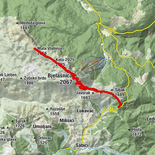
Bjelašnica (2,067 m)6.9 kmKota (2,056 m)7.5 kmKota 2025 (2,025 m)8.9 kmMala Vlahinja (2,056 m)10.5 kmKota 2025 (2,025 m)11.9 kmKota (2,056 m)13.3 km
- Description
-
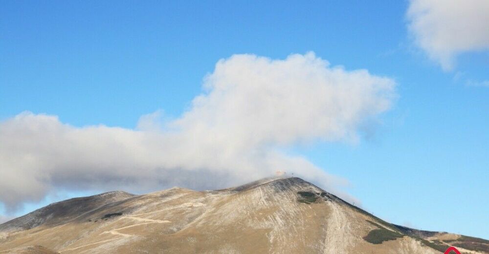
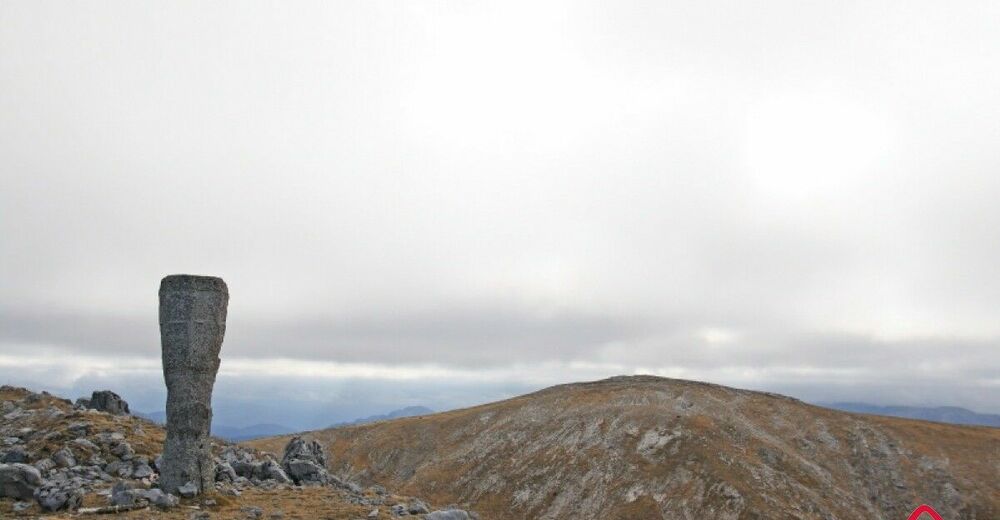
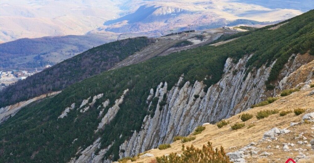
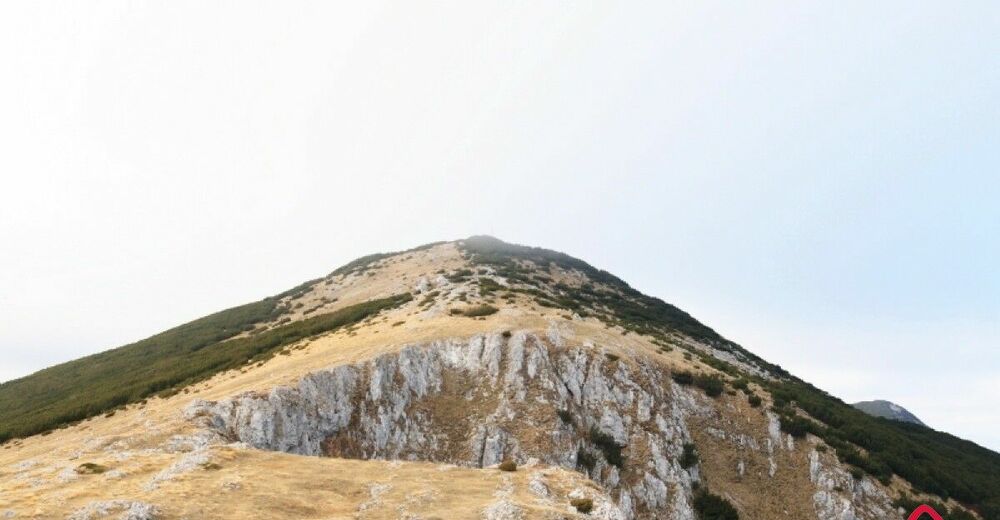
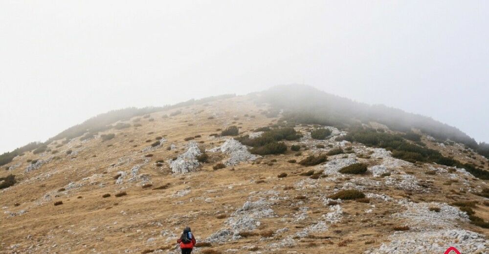
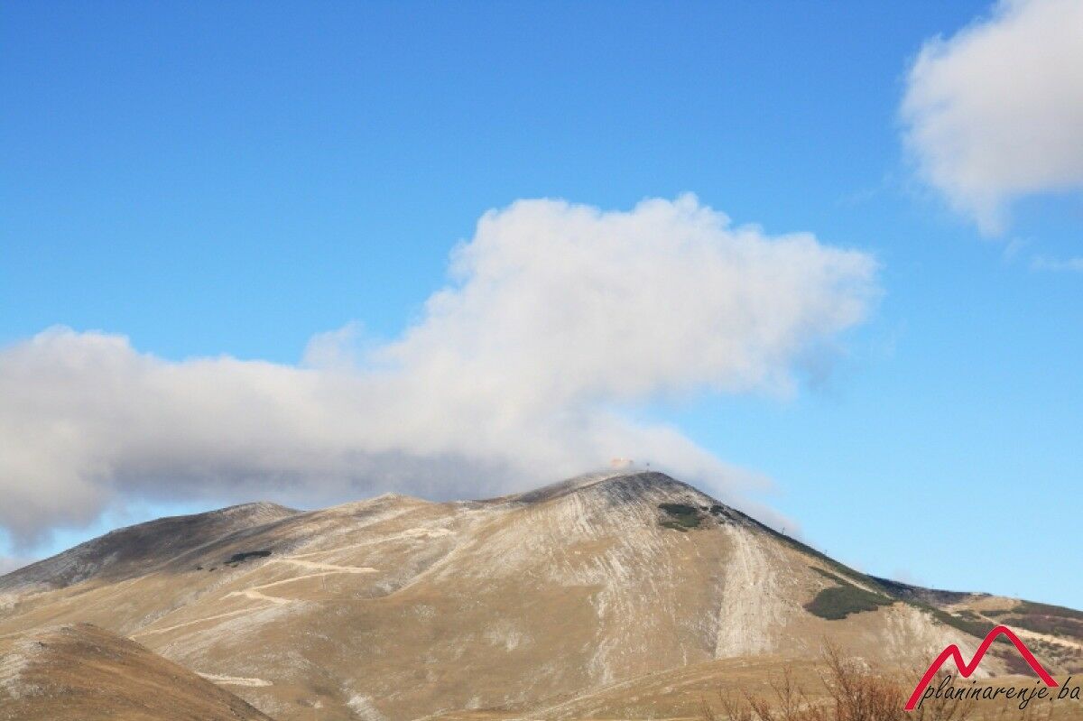
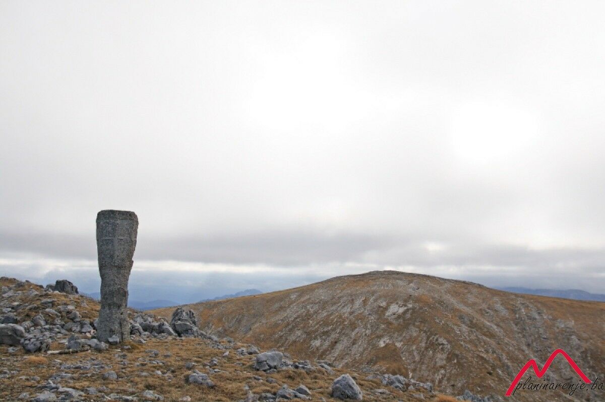
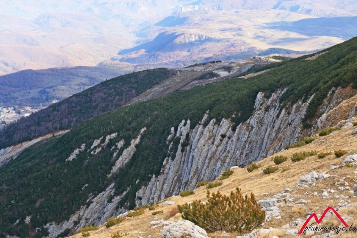
You set out from the Bijele vode lodge, pass the opservatory, go to Mala Vlahinja and back. The ascent begins with an easy walk through the forest, then towards the summit of MT Bjelašnica. Walk by the peaks of Šiljak (1689 MASL) and Lisičija glava (1678 MASL) and descend to Štini do. To the right is the ruined House of Salvation (Kuća spasa). This is the easier, but longer way up the serpentines leading to the observatory. On the left you have a wonderful view of Mt Treskavica, Mt Visočica, and the peaks Obalj and Krvavac. At the top it's often very windy but you can find shelter in the observatory. The road goes on to Mala Vlahinja. Along the way you'll see a monument to the seven mountaineers who lost their lives on 2 December 1962. After three days on the mountain they were caught in a snow storm and lost themselves.
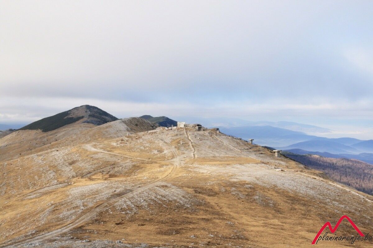
The road goes on above the boilers towards the abandoned facilities of the former Yugoslav People's Army. The whole building is dug in, with only the entrance and a few windows visible, and large blocks of concrete scattered all around. From there you can see the peak of Mala Vlahinja. The peak is around hundred metres away. At the very end of the ascent you need to cross a bridge just below the top.
On your way back follow the markers down the slope from the observatory to Štinji do to your starting point, the Bijele vode lodge.
- Directions
-
Get in the forest above the lodge and cross it via the marked trail. When you leave the forest turn left (northwest) and go straight all the way to the road leading to the top of Bjelašnica. At the Observatory facility you can take a break in the mountaineers' room. Keep going (to the northwest) above Kotlovi along the ridge, by the ruined military facility, to the peak Mala Vlahinja.
- Highest point
- 2,051 m
- Endpoint
-
Mala Vlahinja
- Height profile
-
 © outdooractive.com
 - Equipment
-
Standard mountaineering equipment, in accordance with the weather.
- Safety instructions
-
The trail is technically undemanding and there is no risk of landmines.
- Additional information
- Directions
-
Take M18 to Krupac, right after the quarry turn right onto R442a towards Mt Bjelašnica and Mt Igman. When you reach Hotel Maršal on Bjelašnica drive on for a few more kilometres to the Bijele vode lodge.
- Public transportation
-
Van to Sinanovići (get off at the stop in Bijele vode).
- Parking
-
Park at the lay-by.


-

-
AuthorThe tour Bijele vode - Mala Vlahinja is used by outdooractive.com provided.