- Brief description
-
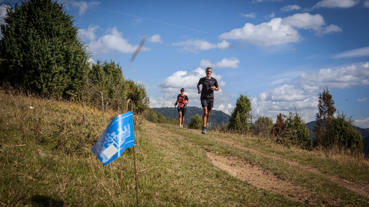
The shortest route of the Skakavac Trail is made for anyone who wants to run and stroll through untouched nature without excessive fatigue or high energy consumption.
- Starting point
-
Uževica
- Route
-
Skakavac3.6 kmPerca8.5 kmPlaninarski dom Motka12.0 kmMotka (1,254 m)13.5 kmGrabljiva Njiva19.4 km
- Description
-
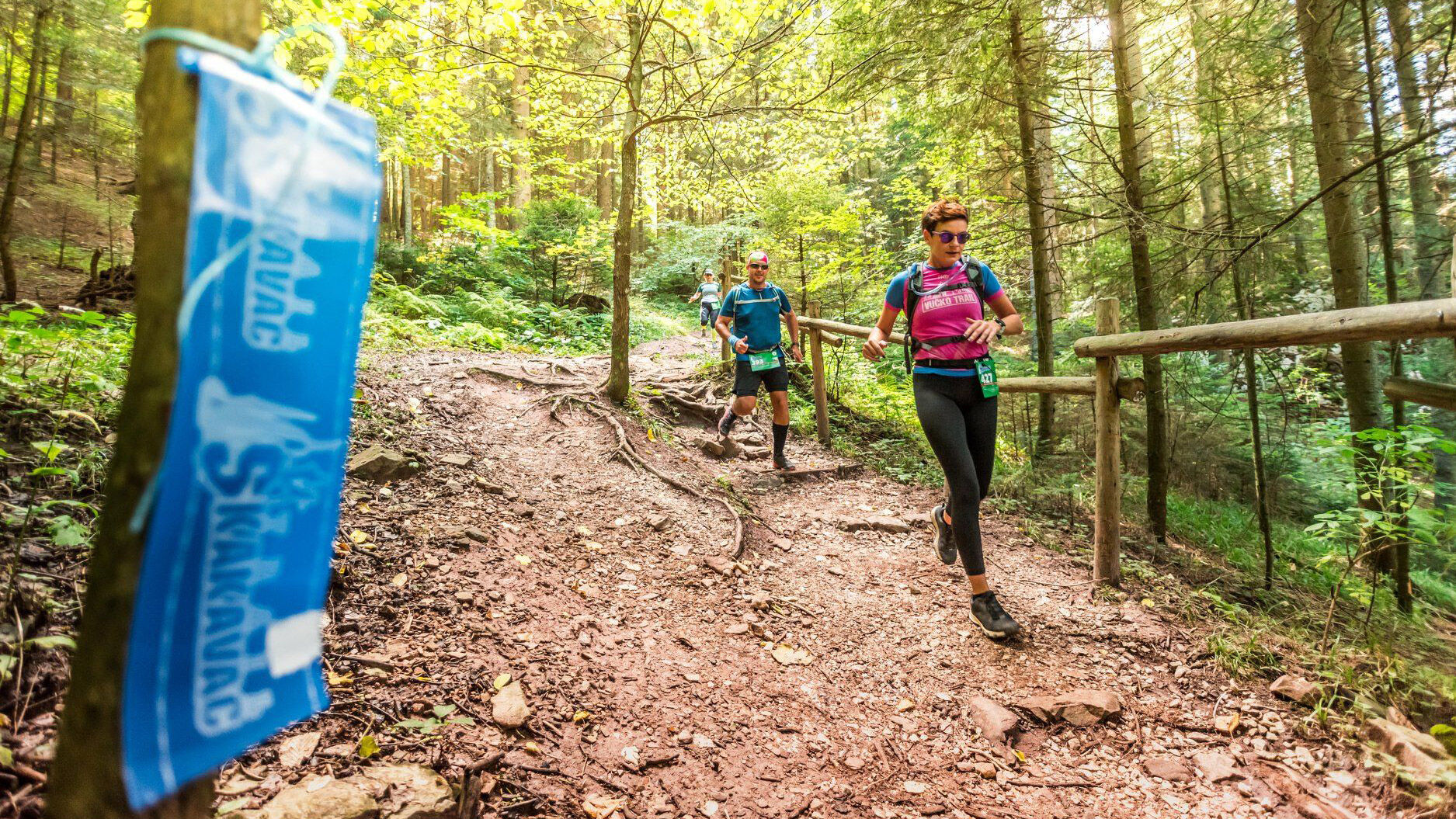
The 22 km long trail runs from the entrance to the Skakavac Protected Natural Area and leads through beautiful forests and meadows of this area of high biological diversity, to the finish line above Vogošća town.
During the race you will pass under the 98m high Skakavac Waterfall and enjoy panoramic views of Sarajevo and the surrounding towns and mountains.
In addition to this race, there are also two longer trails within the Skakavac Trail 2019, as well as a special trail for the Canicross race in which participants run with their dogs. This is the first race of its kind in Bosnia and Herzegovina.
The 22 km race starts at 12 pm from the Uževica locality and the maximum race length is 5 hours.
- Directions
-
The trail is completely marked, but there are no distance marks. Competitors should therefore adhere strictly to the marked race trail and avoid taking shortcuts. Any departure from the official route presents the risk for the competitor and implies disqualification.
There will be two refreshment areas on the route:
1. Skakavac Plateau (6 km)
2. Motka (15 km) - Highest point
- 1,239 m
- Endpoint
-
Gornja Jošanica
- Height profile
-
 © outdooractive.com
 - Equipment
-
Athletes must always carry all obligatory equipment during the entire race which includes:
- Basic first aid kit (plasters, few sterile gauzes, compresses, bandages)
- Camel bag or bottles with at least 1.5 liter of liquid
- Race bib
- Survival blanket/heat sheet
- Whistle
- Drinking cup (drinking cups will not be available at the refreshment areas)
- Roadmap (provided by the organizer)
- Mobile phone turned ON and kept in silent mode
- Suitable shoes - Tips
-
The number of competitiors for every race is limited so be sure to register on time if you want to participate. For registration visit http://skakavactrail.ba/en/registration/
- Additional information
-
It is strongly recommended to have the following:
- Wind cheater (anorak) suitable for bad weather in high mountain areas
- Long sleeved top
- Cap, hat or bandanna
- Gloves
- Energy bars or solid food
- A small amount of money for the possible purchase of food in the mountain shelters and/or at the shops in the villages
- Elastic bandagesFor more information visit http://skakavactrail.ba


- Author
-
The tour Skakavac Trail - Route 1 - 22 km is used by outdooractive.com provided.