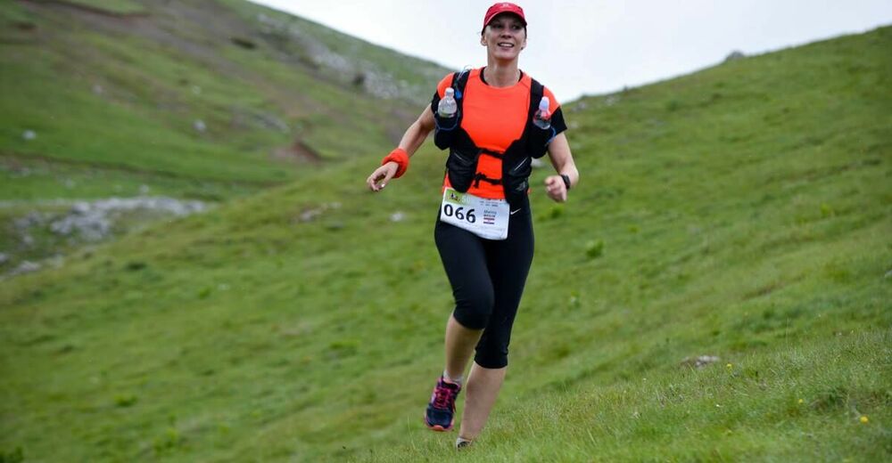
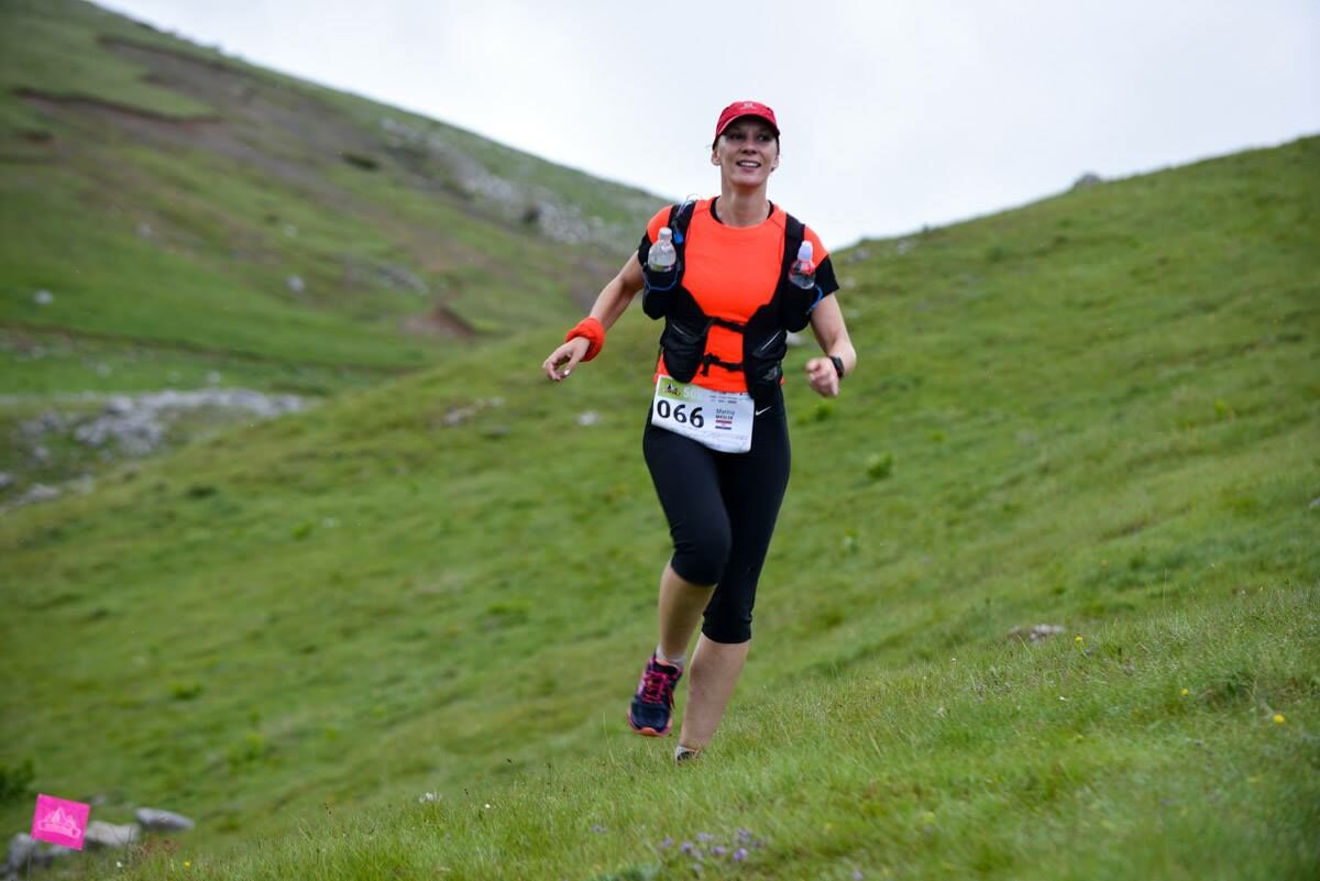
Vucko 39 km - great running through beautiful mountains and charming Bosnian villages


- Brief description
-
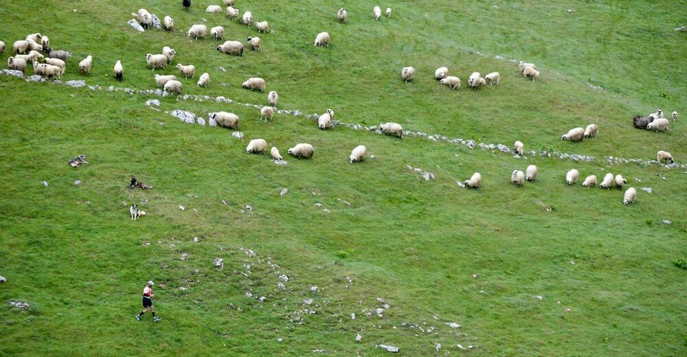
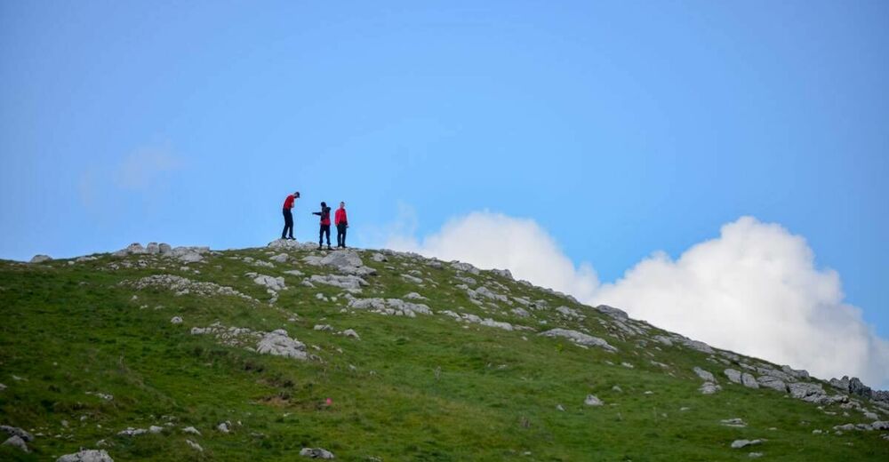
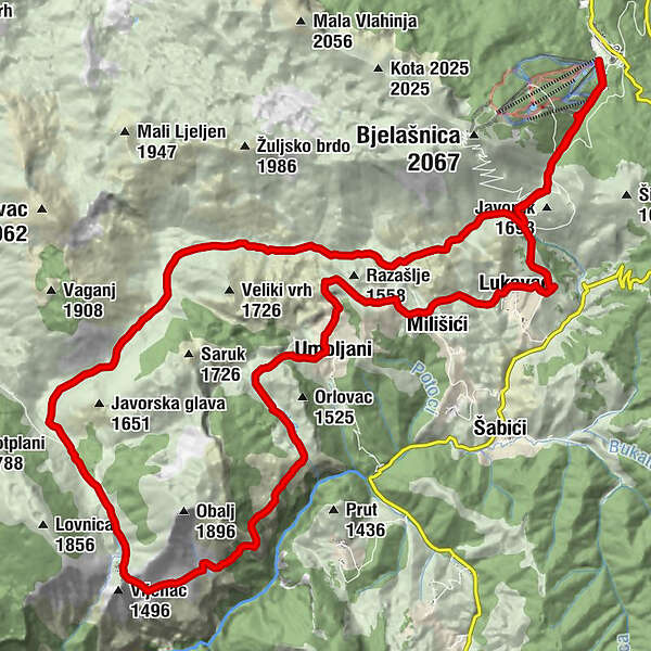
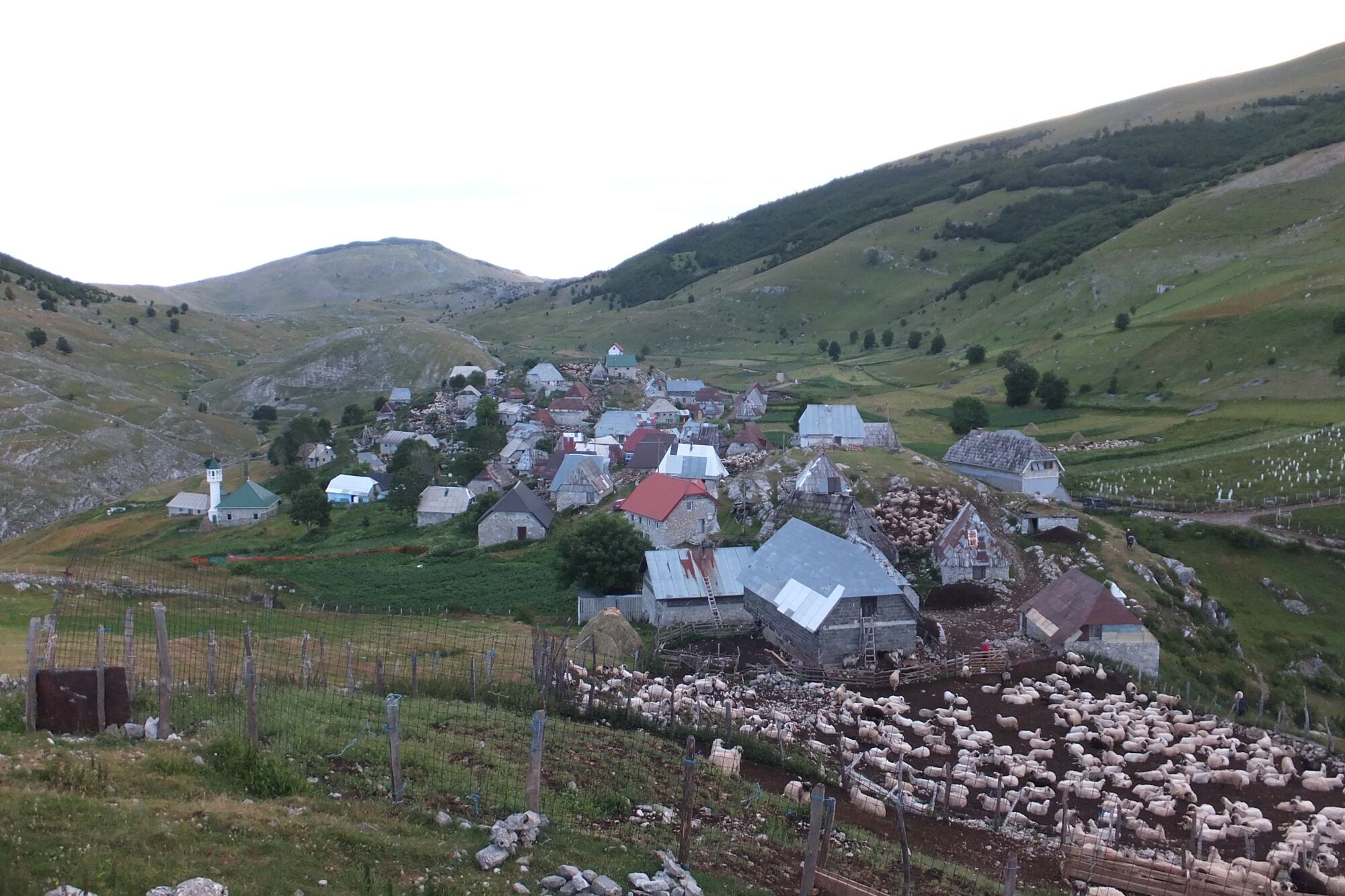
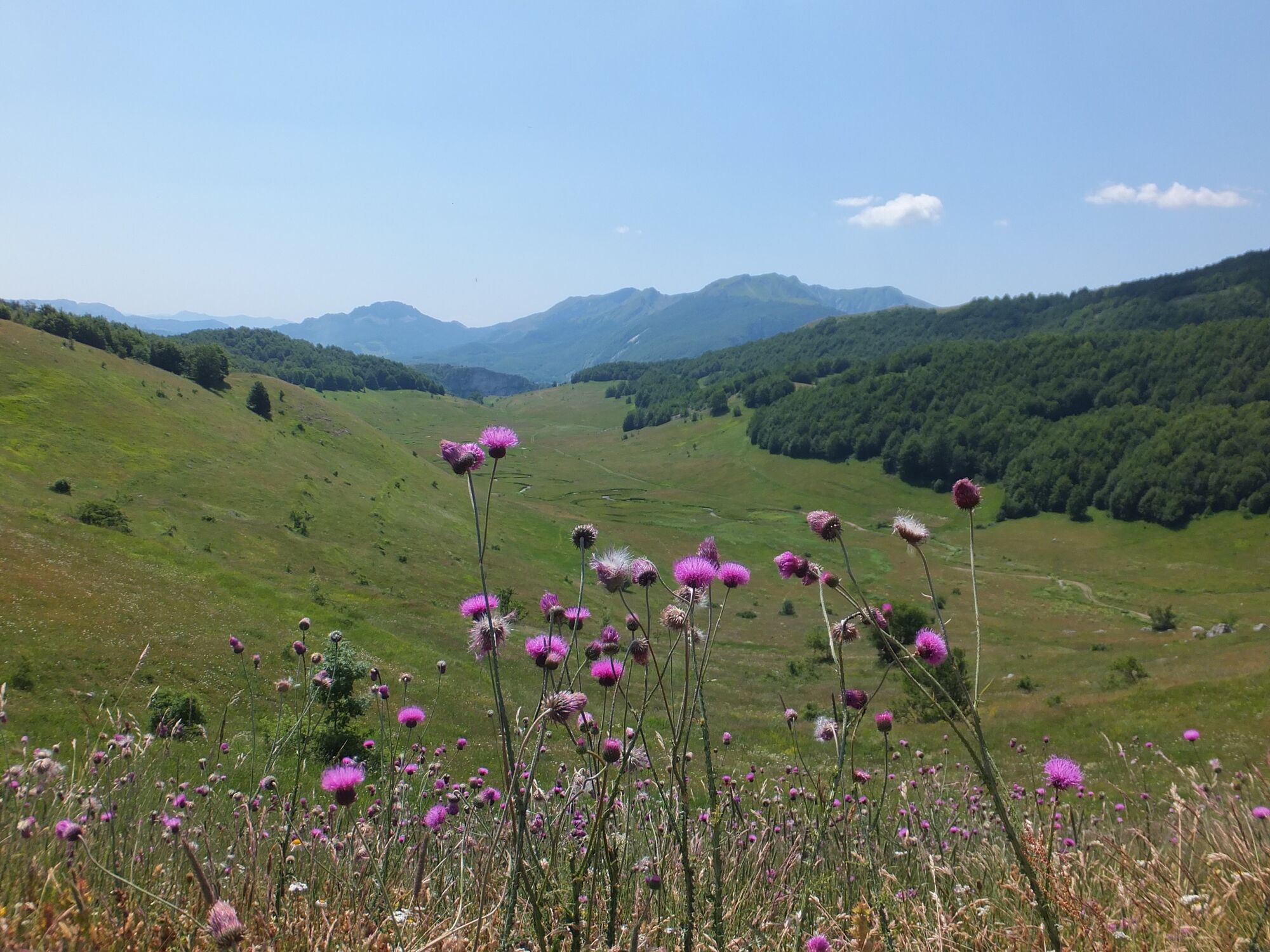
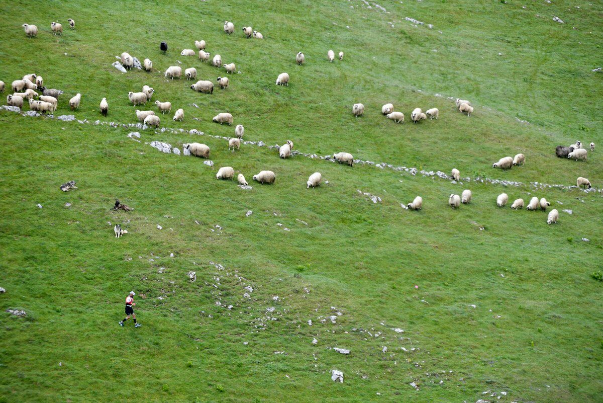
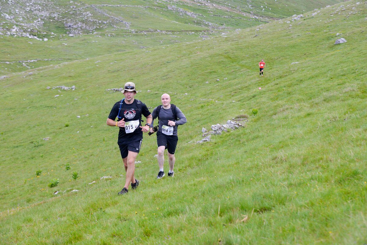
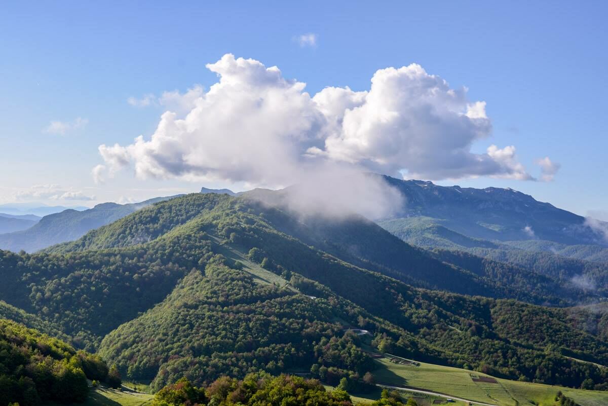
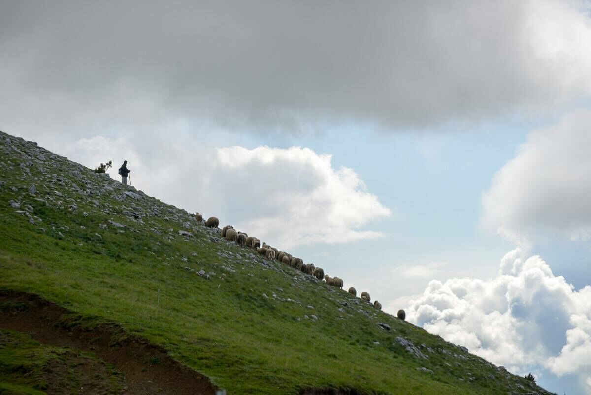
One of three trails to run this year at the Vucko trail running event scheduled for 23.06.2018. It runs through remote corners of Olympic mountain Bjelasnica, Lukomirand Umoljani villages and pasture lands.
- Difficulty
-
difficult
- Rating
-
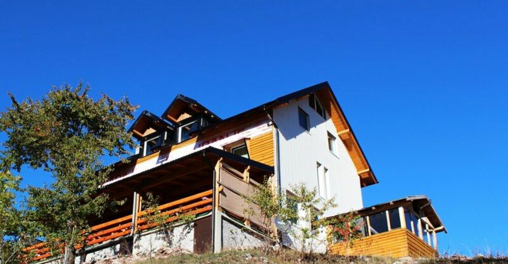
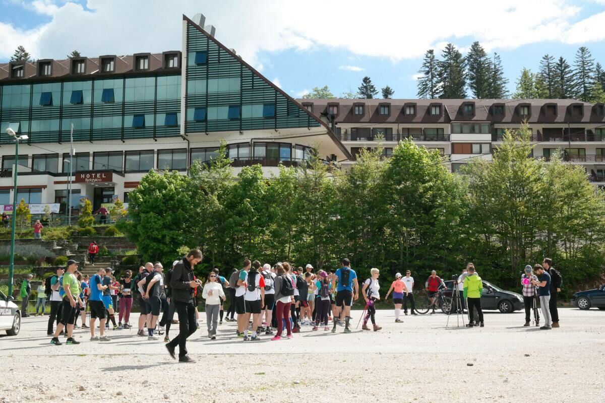
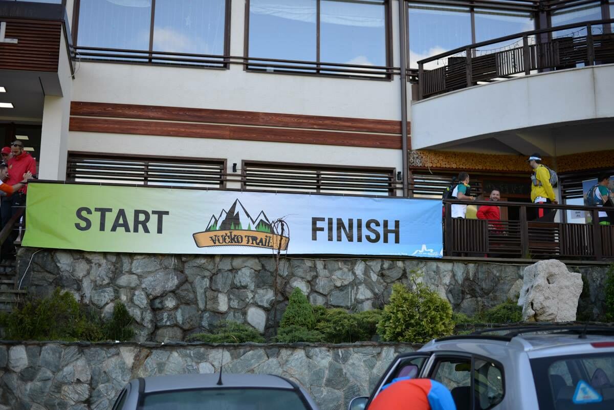
- Starting point
-
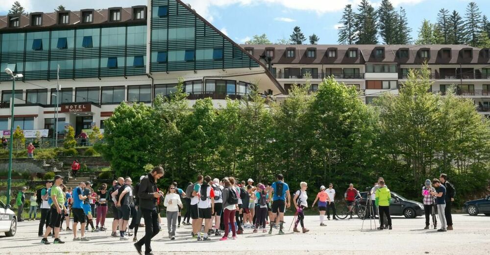
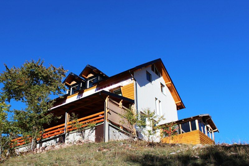
Hotel Marsal
- Route
-
Štinji do0.6 kmNa Krovu Svijeta16.9 kmLjetna Bašta16.9 kmPeruce Spring18.5 kmUmoljani25.0 kmMilišići28.5 kmRašenovići28.6 kmLukavac30.3 kmŠtinji do35.6 km
- Best season
-
JanFebMarAprMayJunJulAugSepOctNovDec
- Description
-
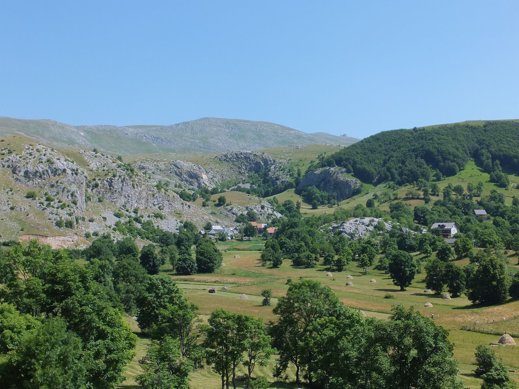
This trail goews through remote and untouched landscapes of Olympic mountain Bjelasnica near Sarajevo city, capital of Bosnia and Herzegovina. From the finish line of Olympic ski competitions trail goes to wilder side of Bjelasnica through forest and highlands, ancient villages and lands of legends. There are few more highlights on the way back to Babin do and finish line.
- Directions
-
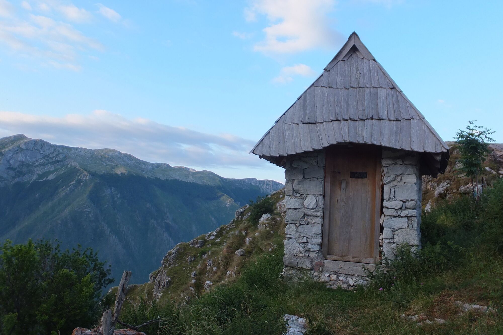
From Hotel Bjelasnica you run down towards the ski lifts, and continue along the valleys at the end of ski slopes. After last building continue straight on the marked mountain trail up through the forest. At the end of the forest you enter in to open highland area, follow a dirt road along Dugo polje (Long field) all the way to village of Lukomir. At the far end, turn left to Lukomir. In Lukomir, at the end of the village continue on the trail along the slopes (do not descends down) The trail turnes left and follows the meadow curved by snake-like creek named Studeni potok. At the end it reached hamlet of Gradina and descend down to Umoljani village. When it get to the village road, turn right and through the village, and soon left towards hamlet Elezovici, north-most side of Umoljani. From the end of the village it gets on the trail again and over green hills it runs east. It joins road and descends down to Lukavac village, continues on the road and turn right over slopes towards mountain hut Bijele Vode. After hut, the trail crosses the road, and through the forest gets back to Babin do just before hotel Marsal.
- Highest point
- 1,624 m
- Endpoint
-
Hotel Marsal
- Height profile
-
 © outdooractive.com
 - Equipment
-
Pair of trail runners, water, whistle, first aid kit and mobile phone.
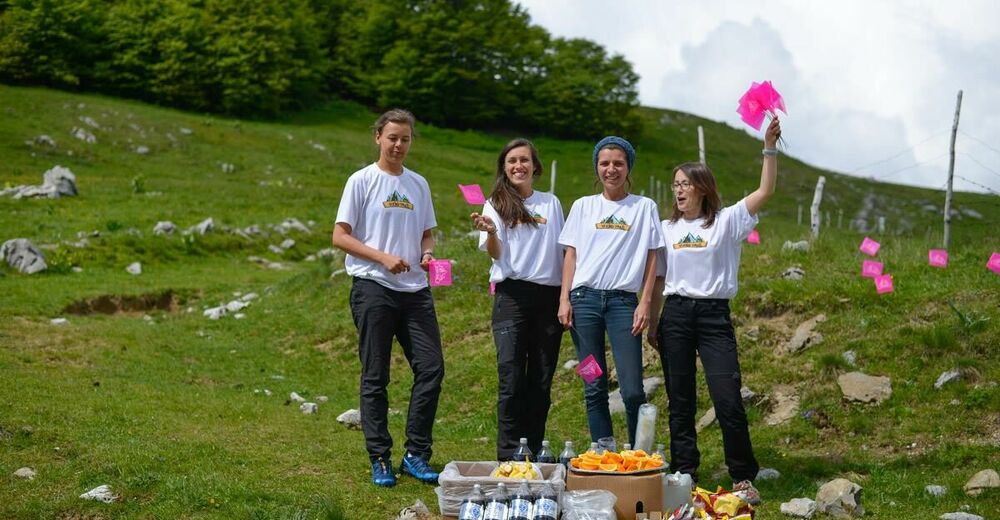
- Safety instructions
-
Will be provided by the Organizer.
- Tips
-
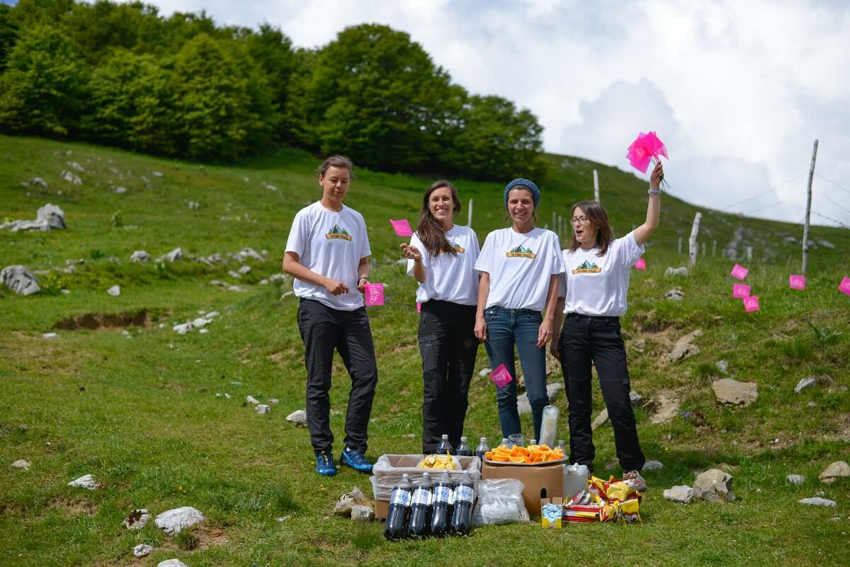
For those of you in love with trail running, and those of you allways seeking new chalanges this is a great oportunity to see some great places and meet some great people.
- Additional information
- Directions
-
From Sarajevo airport drive towards Foca. At Krupac query turn right, and at junction to Igman continue straight-left after stop sign. Hotel Bjelasnica is first on the left, at the entrance to valley Babin do.
- Public transportation
-
Minibus no 85 drives from Ilidza to Sinanovici.
- Parking
-
Parking available in front of the hotel. If full, main parking lot is right down below the main road.
-

-
AuthorThe tour Vucko 39 km - great running through beautiful mountains and charming Bosnian villages is used by outdooractive.com provided.