© EVAdinarica Project - EVA dinarica
© EVAdinarica Project - EVA dinarica
© EVAdinarica Project - EVA dinarica


- Brief description
-
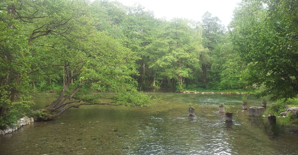
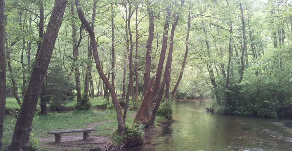
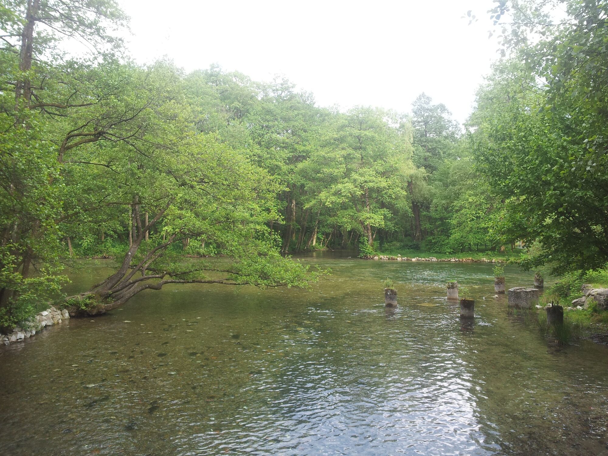
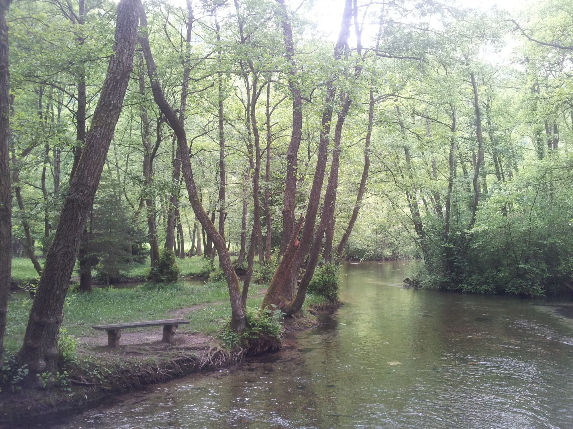
A ride out of in town into the calmness of Vrelo Bosne, a public park with the spring of River Bosna, at the foot of Mount Igman.
"Sightseeing Sarajevo by bike part 2"
- Difficulty
-
easy
- Rating
-
- Starting point
-
Guesthouse Bistrik
- Route
-
Restaurant Labud2.0 kmVrelo Bosne2.1 kmIlidža6.3 kmNaselje Bulevar8.1 kmStup8.3 kmStupsko Brdo8.4 kmAlipašin most9.9 kmFaza A10.0 kmČengić Vila I11.4 kmČengić Vila II11.5 kmNaselje Nova Otoka11.5 kmOtoka11.6 kmDolac Malta13.1 kmHrasno13.5 kmSocijalno13.5 kmSarajevo13.8 kmGrbavica14.7 kmMarijin Dvor15.7 kmSkenderija16.1 kmDrvenija17.0 kmBakr-babina džamija17.5 kmBistrik17.6 kmCareva džamija17.7 kmBaščaršija18.3 kmČekrekčijina18.4 kmBabića bašča18.8 kmHrid19.1 km
- Best season
-
JanFebMarAprMayJunJulAugSepOctNovDec
- Description
-
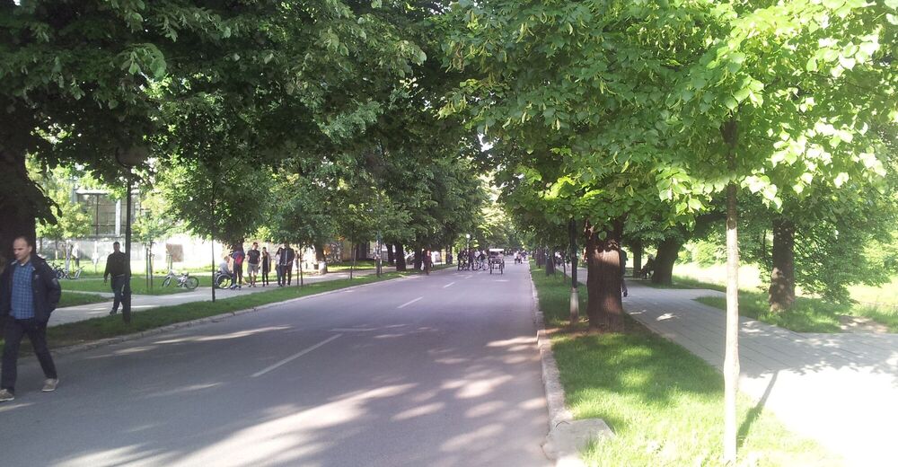
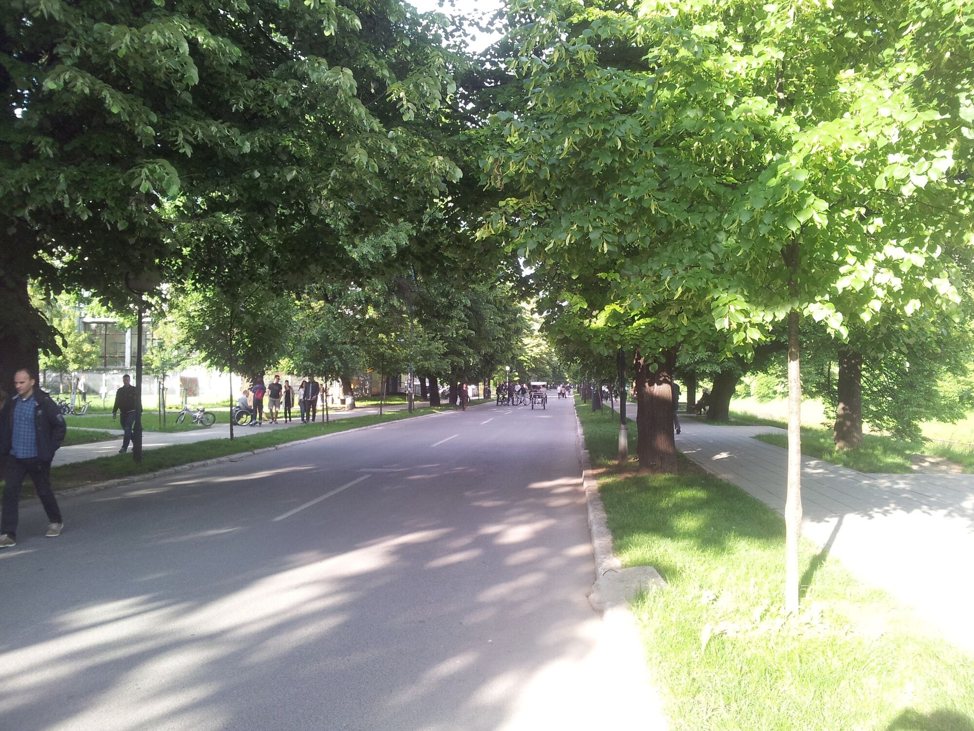
Once your out of the old town, there is a brand new biking lane from Skenderija via Hrasno neighborhood to Ilidža. The bike path will run (when completed) on both sides of the main avenue along the tram line. In the middle it is not finished yet, but the last 3 kilometres are absolutely lovely! After 5PM the street along the river is a car free zone!
- Directions
-
Start in Bistrik or any place in Old Town and cycle towards the trainstation (follow the tramline). There you find the brand new biking lane. Follow it untill you're on a big junction where it stops and there is no pavement on the right side of the road. Cross the street with the tramline in the middle and turn right. Basically you're heading in the same direction, but on the other side of the street. From this point there are no signs or biking lanes, you'll have to ride on the pavement. You'll cross the centre of Ilidža and soon you'll see the lane with the trees and horses that leads you towards the spring. Asking people for directions helps, everybody knows Vrelo Bosne.
- Highest point
- 633 m
- Endpoint
-
Vrelo Bosne
- Height profile
-
 © outdooractive.com
-

-
AuthorThe tour Bistrik - Vrelo Bosne is used by outdooractive.com provided.