

- Brief description
-
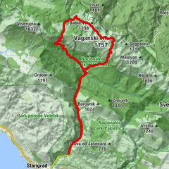
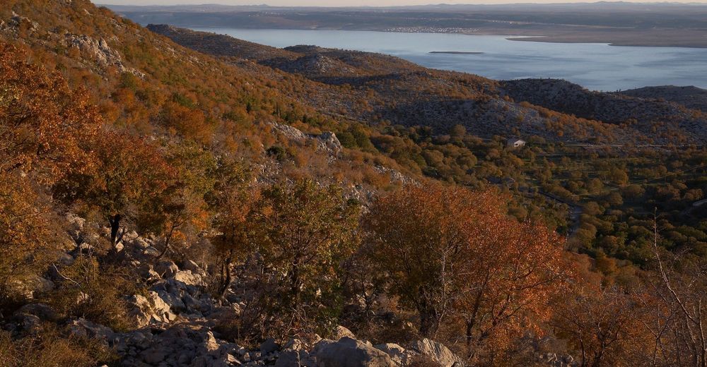
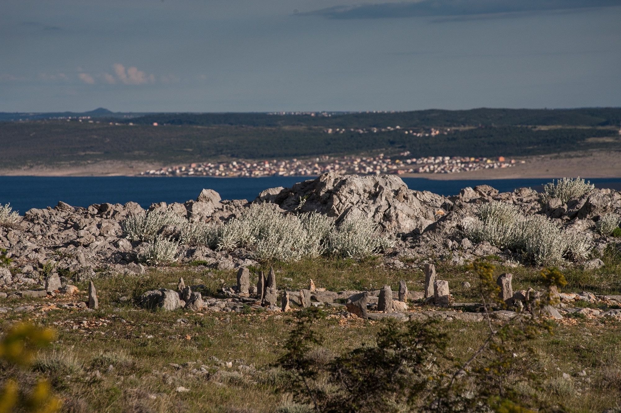
In its first half, the trail leads you through the Mala Paklenica Canyon. The other part of the trail offers views of the hinterland of Anića Kuk and a view of the archipelago.
- Difficulty
-
difficult
- Rating
-
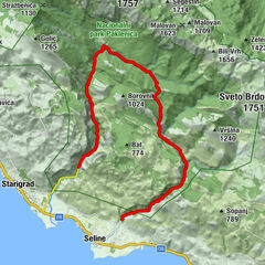
- Route
-
Pozdravača2.6 kmKapljuvača4.7 kmNjive Lekine8.5 kmJurline10.8 kmGrabova dolina11.2 kmJukići16.7 km
- Best season
-
JanFebMarAprMayJunJulAugSepOctNovDec
- Description
-
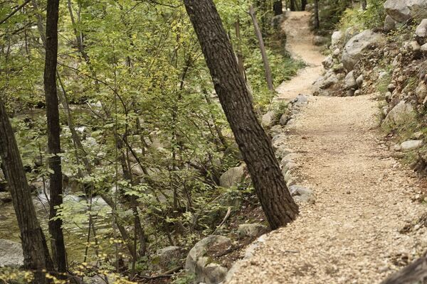
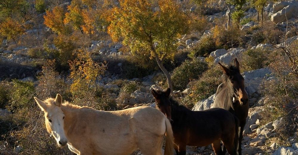
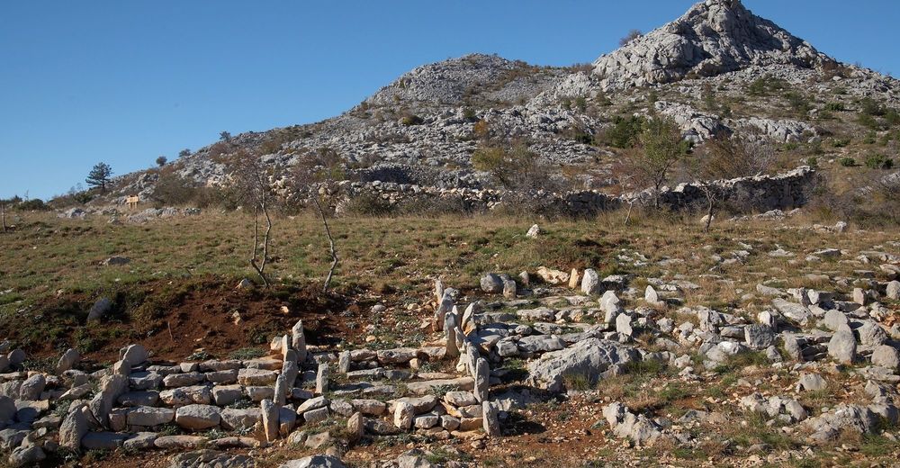
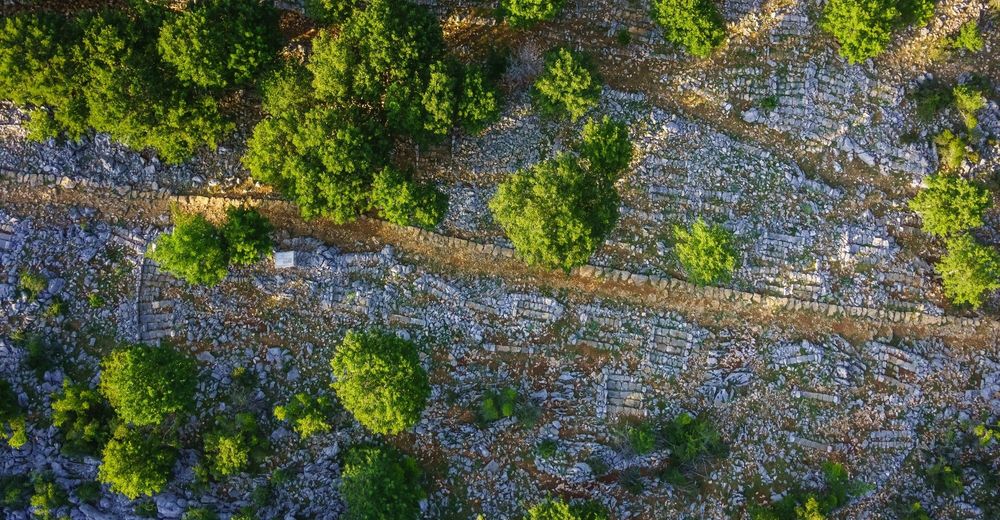
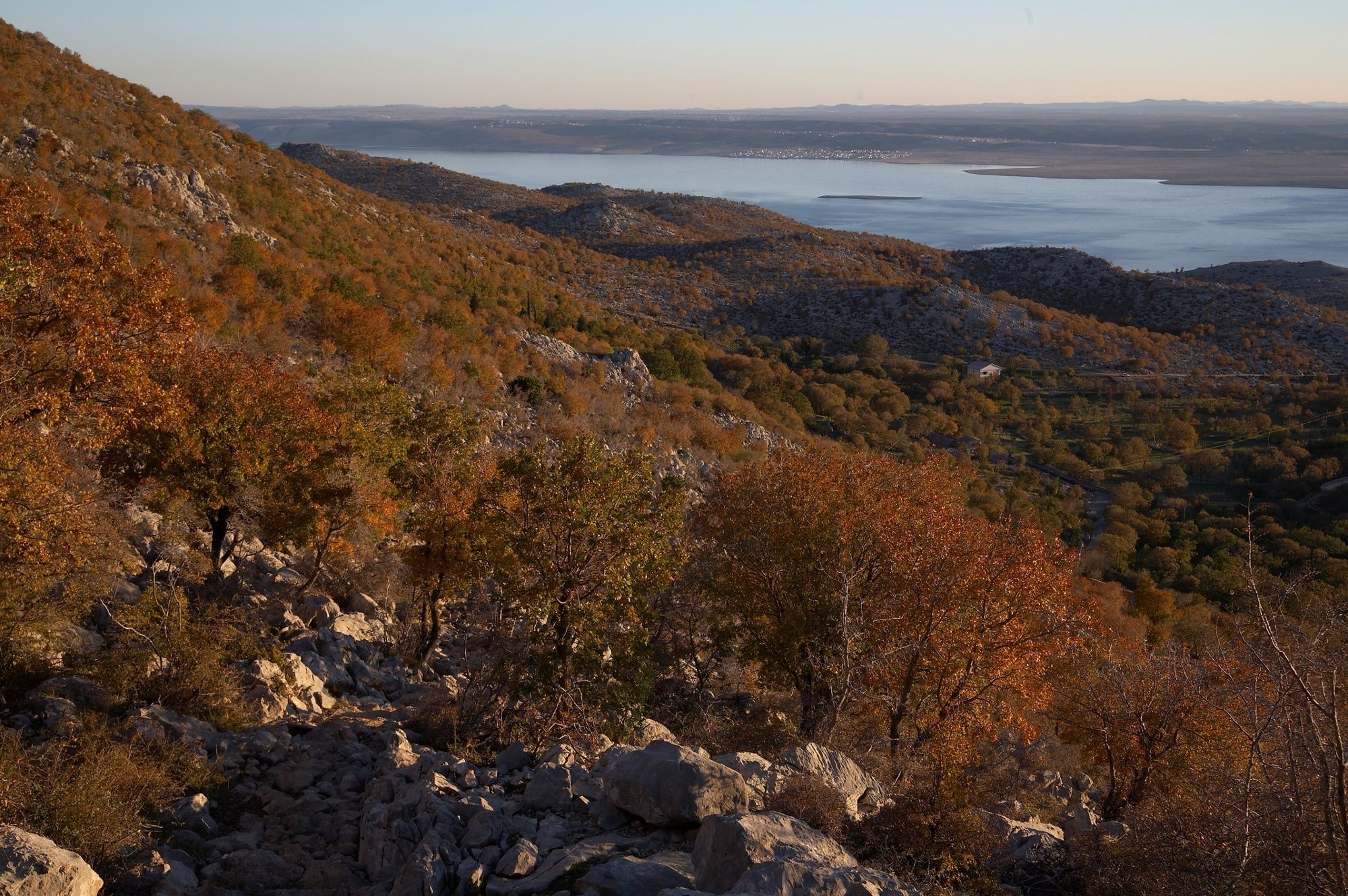
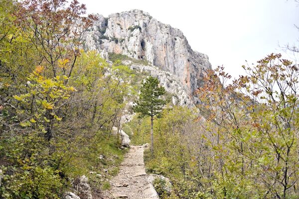
Canyon of Mala Paklenica is a sister canyon of the Grand Canyon of Paklenica, its untamed sister, so to say. Thanks to a bird species nesting high in the walls of the canyon, climbing in this area is strictly forbidden, therefore Mala Paklenica remained as it was to this very day, ensuring the taste of wilderness at a close reach. Canyon itself is much smaller than the Grand one, at places narrowing to only 10 meters in width with walls diving straight into the stream at the bottom of canyon. Mostly, the path doesn't really exist, but follows the bed of a stream flowing down the mountain all the way from Vlaški Grad in its upper parts to join the sea at Seline bay. The bed serves as an obvious signboard. It is however impassable if there is much water. There are places where canyon widens enough, and the path separates from the stream. At those places, hike might get quite steep, pushing your adventure competence to its limit.
- Highest point
- 703 m
- Height profile
-
 © outdooractive.com
 - Safety instructions
-
The route demands climbing on rocks, and crossing a stream by means of a cable-rope.
- Tips
-
The Mala Paklenica Canyon is characterised by a more demanding terrain – you need to jump over a creek, the ascents are steep, and you often need to climb on rocks. The second part of the path is somewhat tamer, but the return and descent still requires a fair amount of focus.
- Author
-
The tour NP Paklenica / M. Paklenica - V. Paklenica is used by outdooractive.com provided.


")