


- Brief description
-
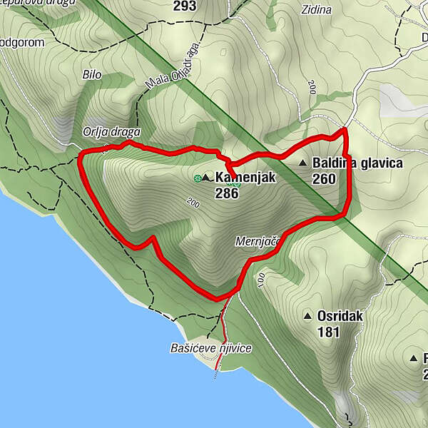
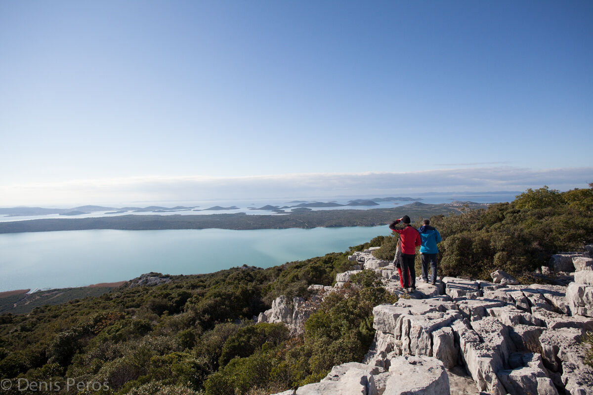
A walk around Kamenjak, the most attractive lookout point of the Nature Park Vransko Jezero, offers beautiful views and two interesting educational trails.
- Difficulty
-
easy
- Rating
-
- Starting point
-
Kamenjak peak
- Best season
-
JanFebMarAprMayJunJulAugSepOctNovDec
- Description
-
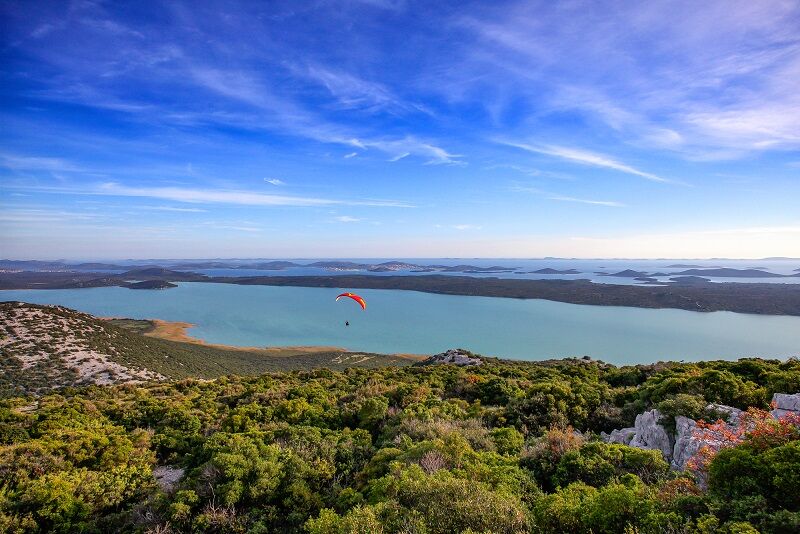
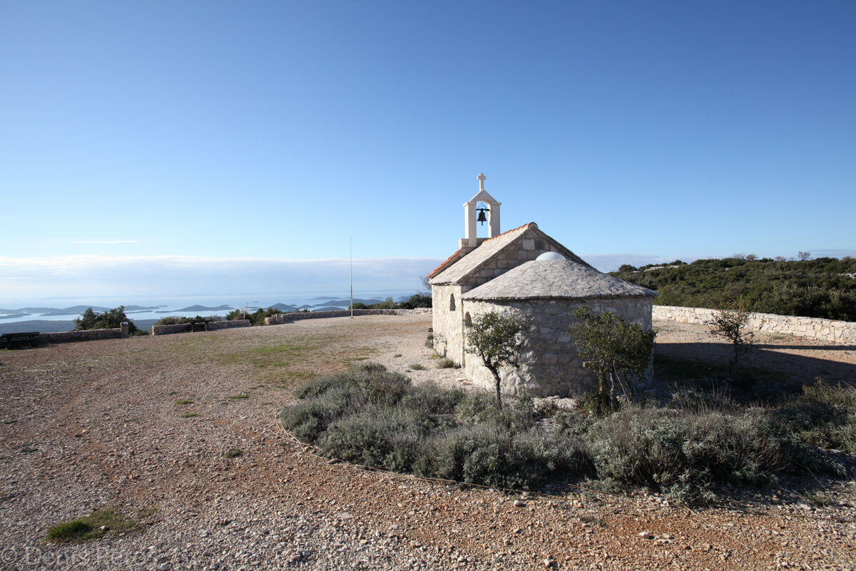
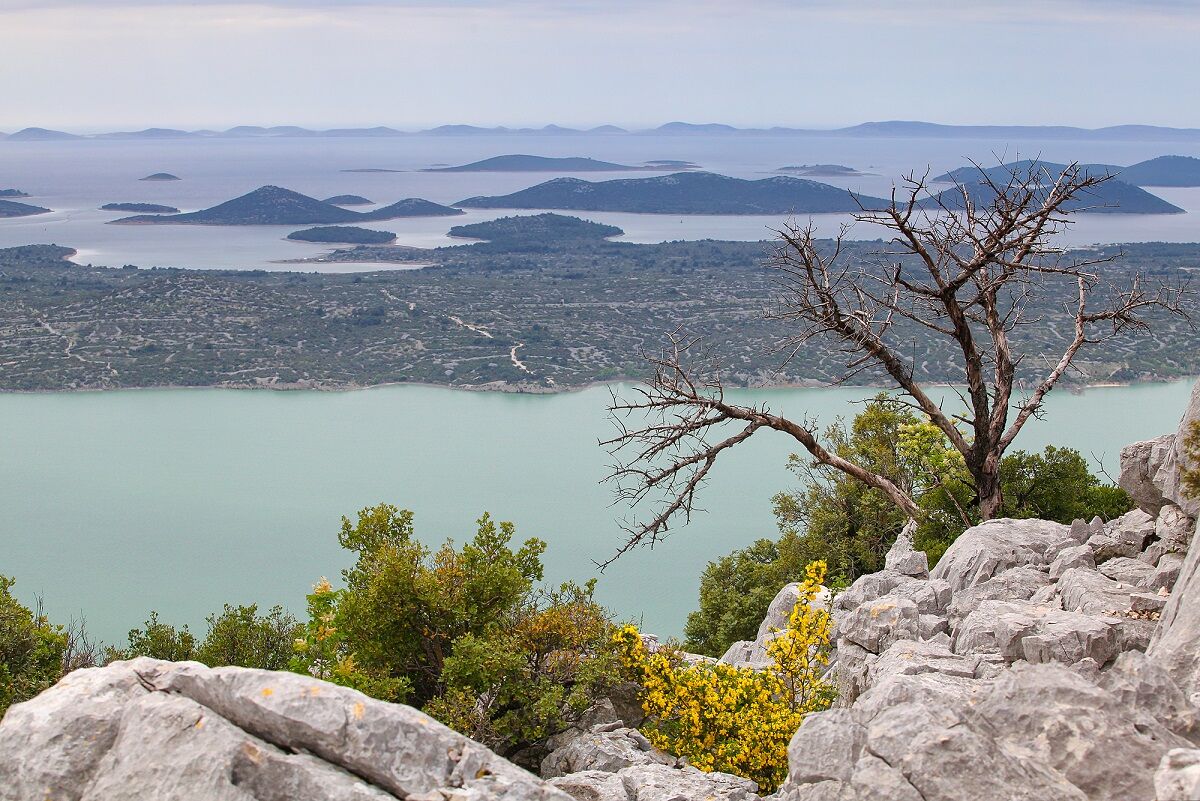
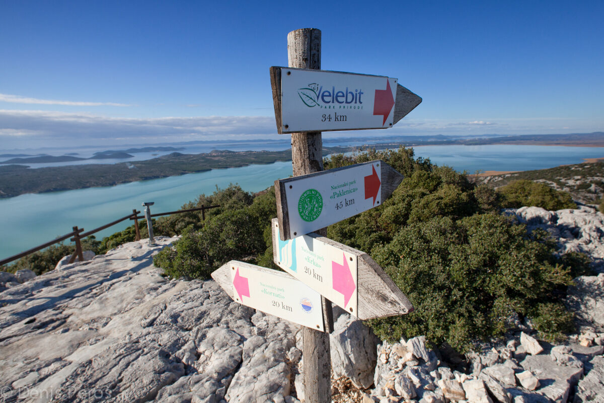
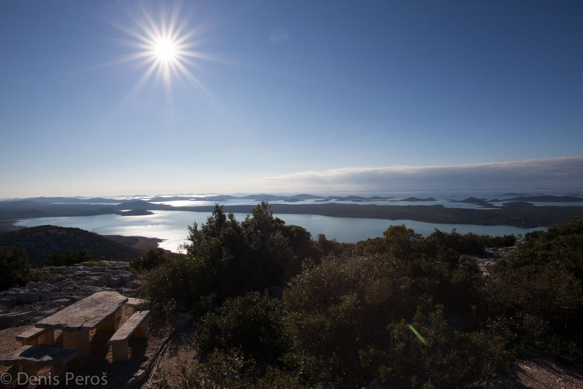
If you wish to experience the wide blueness from the peaks of Velebit to the islands of Kornati, you should climb Kamenjak, the highest peak of the nature park. There you will find a belvedere with an info-centre, chapel of All Saints, a restaurant, and two educational trails: the short one on the plateau and the circular botanical trail descending to lake dock Bašinka, on its way telling tales about the flora of this area.
- Directions
-
From the top plateau of Kamenjak, a short educational trail leads visitors through karst and maquis to a lookout point with an unforgettable view of the entire area. For those who want a longer walk, we recommend the educational botanical trail marked with white and blue markings. It descends from the belvedere on Kamenjak through the Mernjača canyon all the way down to the Bašinka pier on lake Vrana. It returns uphill through the Orlja draga canyon back to Kamenjak. Educational boards along the trail will tell you interesting stories about the characteristic flora of this area.
- Highest point
- 273 m
- Height profile
-
 © outdooractive.com
 - Safety instructions
-
We recommend you to wear solid footwear, adapt your clothes to outdoor and weather conditions, and carry a sufficient amount of drinking water.
- Tips
-
Although not yet well known by tourists, the top of mount Kamenjak is without any doubt one of the most attractive lookouts in the entire Zadar hinterland. We warmly recommend it to all lovers of nature and spectacular views.

- Author
-
The tour Kamenjak: Trail of Wide Views is used by outdooractive.com provided.


General info
-
Insel Murter
15
-
Betina
10