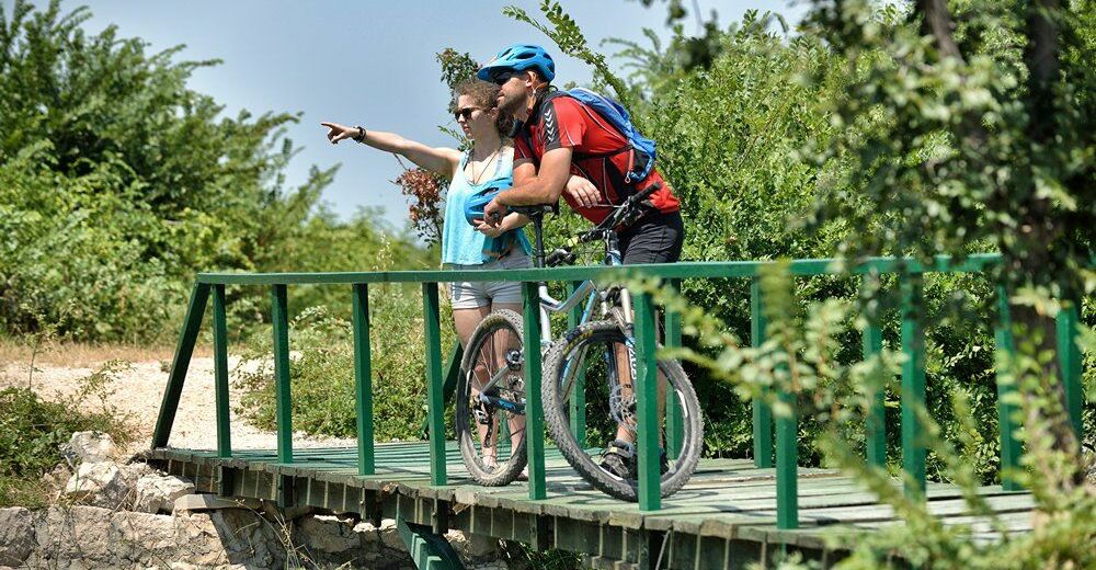
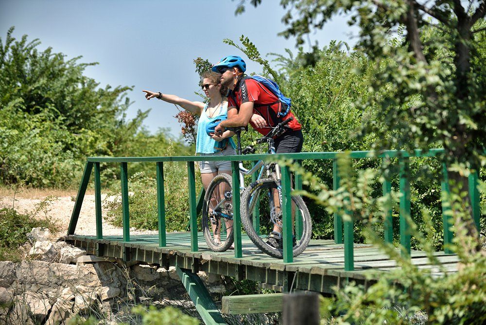
© Zadar Region Tourist Board - Vedran Metelko

- Difficulty
-
easy
- Rating
-
- Starting point
-
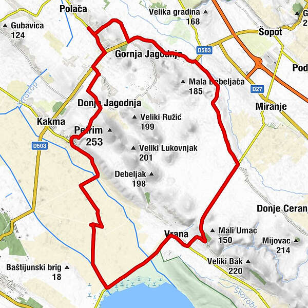
Vrana
- Route
-
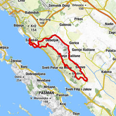
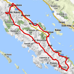
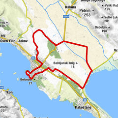
Aurana5.7 kmMarina6.2 kmMaškovića han6.2 kmMeđuvoda7.3 kmMiranje Donje10.9 kmDragičevići10.9 kmBogunovići11.3 kmSekuljice11.4 kmGrubići11.8 kmBogovac12.2 kmPodjaružani14.7 kmZapužane14.8 kmGornja Jagodnja16.3 kmPeraići19.6 kmDonja Jagodnja23.4 kmStabanj25.1 kmVeliki Stabanj26.1 km
- Best season
-
JanFebMarAprMayJunJulAugSepOctNovDec
- Description
-
Along with some trails which lead around the Vransko Lake, this one will take you to the opposite side – to everyday life of Dalmatian hinterland. The trail starts with a slight ascent and, with every next metre, the views of the Vransko Lake and the islands of Murter archipelago are becoming more attractive. After reaching the peak on the 12th km, combination of side and main roads will take you to the coast of the Vransko Lake again.
- Highest point
- 138 m
- Endpoint
-
Vrana
- Height profile
-
 © outdooractive.com
- Author
-
The tour Vrana 5 is used by outdooractive.com provided.
GPS Downloads


General info
Fauna
A lot of view
Other tours in the regions
-
Insel Vrgada
16
-
Pakoštane
9