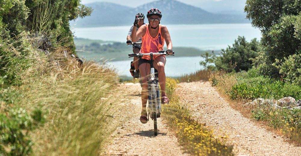
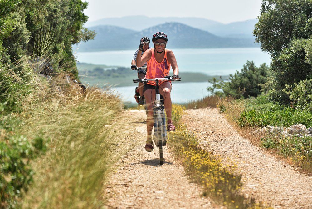
© Zadar Region Tourist Board - Vedran Metelko

- Difficulty
-
easy
- Rating
-
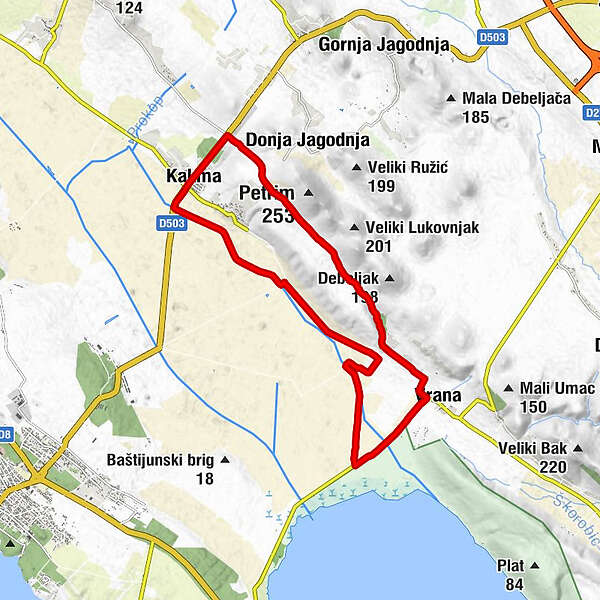
- Starting point
-
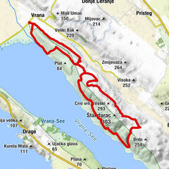
Vrana
- Route
-
Bistro Nany Boss9.4 kmKakma9.5 kmBalkan15.9 kmKukinke16.2 kmAurana16.9 km
- Best season
-
JanFebMarAprMayJunJulAugSepOctNovDec
- Description
-
This trail is great for MTB or trekking riders in basic physical and technical condition. Starting from Vransko field to the natural phenomenon of Vransko Lake, you will ride through the network of channels which water the farmland. This part is flat but from the village Kakma trail starts to slightly ascent towards the peak of the Gradina hill. Reaching the peak and the view of the Vransko Lake and surrounding islands is a true reward before the descent to the finish.
- Highest point
- 107 m
- Endpoint
-
Vrana
- Height profile
-
 © outdooractive.com
- Author
-
The tour Vrana 3 is used by outdooractive.com provided.
GPS Downloads


General info
Flora
Fauna
A lot of view
Other tours in the regions
-
Insel Vrgada
16
-
Pakoštane
9