
- Difficulty
-
medium
- Rating
-
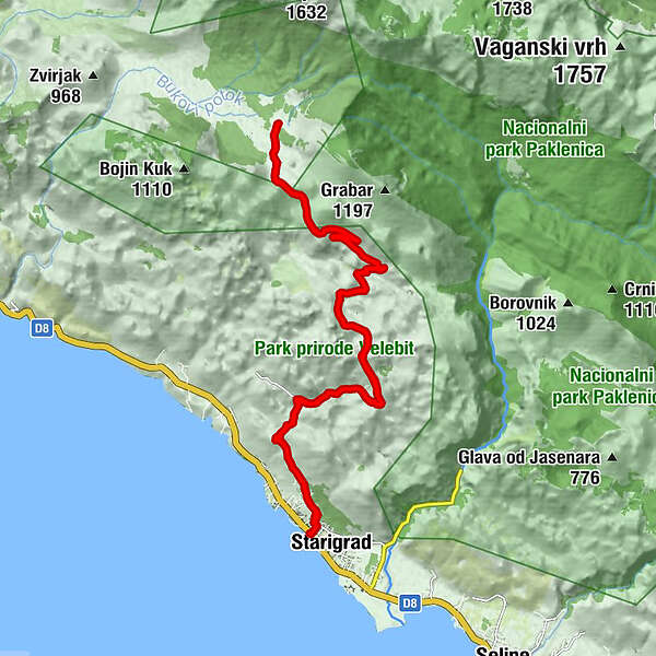
- Starting point
-
Starigrad
- Route
-
Ortopula0.0 kmKruškovac1.1 kmDokoze2.9 kmŽupanov dolac6.2 kmŽupanov dolac20.1 kmDokoze23.3 kmKruškovac25.1 kmOrtopula26.0 km
- Best season
-
JanFebMarAprMayJunJulAugSepOctNovDec
- Description
-
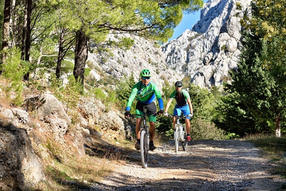
From the center of the town Starigrad you start on a long ascent towards the very middle of the Velebit Mountain, a habitat to hundreds of plant and animal species, full of karst phenomena and speleological wonders. At the end of the ascent, at almost 900 m above the sea level the plateau Veliko Rujno awaits you – the most spacious upland of the Velebit Mountain which stretches seven km in length and one km in width. After a deserved break, a downhill ride towards Starigrad follows, whereby you will enjoy in beautiful panoramic views of the Zadar Archipelago. Considering that the whole route does not provide any shadow nor restaurants or shops, make sure to bring enough water with you.
- Highest point
- 907 m
- Endpoint
-
Starigrad
- Height profile
-
 © outdooractive.com
 - Tips
-
This ride towards the plateau Veliko Rujno is intended for MTB and trekking riders who like steeper and longer ascents which are not technically very demanding.
- Author
-
The tour Veliko Rujno is used by outdooractive.com provided.