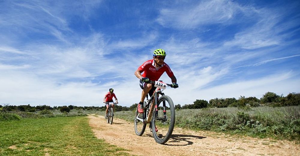
© Zadar Region Tourist Board - Vedran Metelko

- Difficulty
-
difficult
- Rating
-
- Starting point
-
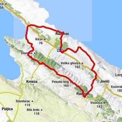
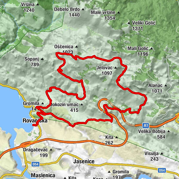
Rovanjska
- Route
-
Bartol0.3 kmRovanjska0.4 kmGostionica Rovanjska0.4 kmLibinjska kosa (900 m)13.8 kmGostionica Rovanjska32.4 kmBartol32.5 kmRovanjska32.5 km
- Best season
-
JanFebMarAprMayJunJulAugSepOctNovDec
- Description
-
This very interesting landscape will give you an impression of the Alps rather than a place of only few kilometres from the Adriatic Sea. Descent will cross the highway several times, but be extra careful on the parts with rough macadam. There are no springs nor gastronomic facilities on the second serpentine ascent from the sea coast to the peaks of the southern Velebit, so make sure to bring enough liquids, although the temperature difference on the peak will refresh you soon enough.
- Highest point
- 975 m
- Endpoint
-
Rovanjska
- Height profile
-
 © outdooractive.com
 - Tips
-
This trail along the rocky regions of the Velebit mountain is intended for technically and physically advanced recreational MTB riders.
- Author
-
The tour Velebit 1 is used by outdooractive.com provided.
GPS Downloads


General info
Flora
Fauna
A lot of view
Other tours in the regions