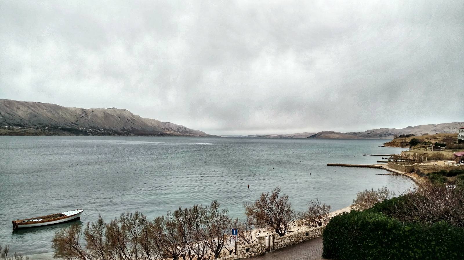
Velebitski Kanal - Pag (Via Dinarica day 219) | Blue Trail in Croatia


- Brief description
- Difficulty
-
easy
- Rating
-
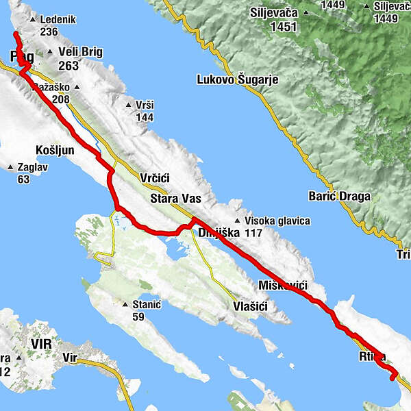
- Route
-
Miočići0.4 kmTaraca Grill0.5 kmTabari0.8 kmStošići1.4 kmRtina1.8 kmBenići3.3 kmMiletići4.1 kmPrlinac (51 m)7.1 kmMiscovizzi9.0 kmDignisca12.9 kmMagassi13.3 kmCrkva Sv. Frane30.9 kmCrkva Navještenja Blažene Djevice Marije32.7 kmPago32.8 kmCrkva Uznesenja Blažene Djevice Marije32.9 kmKonoba DIDA34.3 kmBašaca35.0 km
- Best season
-
JanFebMarAprMayJunJulAugSepOctNovDec
- Description
-
TRAILNOTES: Via Blue Green Trail in Croatia
- Highest point
- 45 m
- Height profile
-
 © outdooractive.com
 - Safety instructions
-
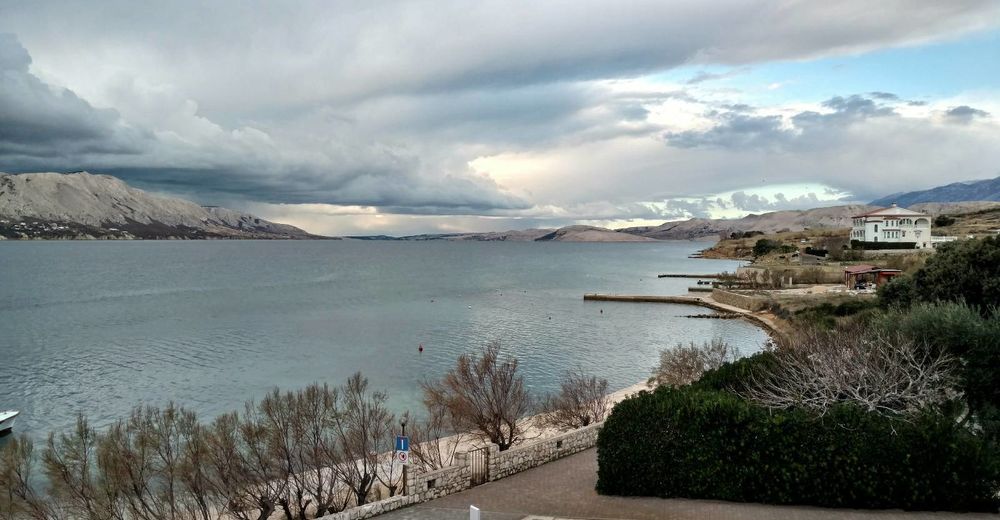
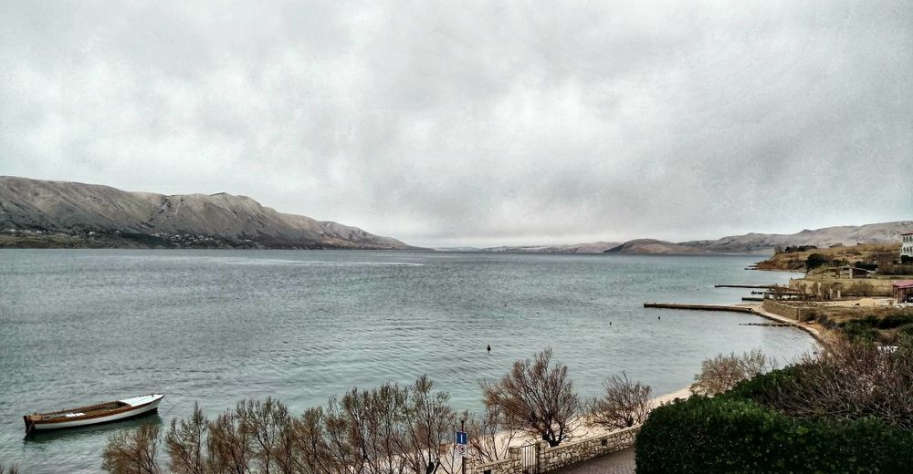
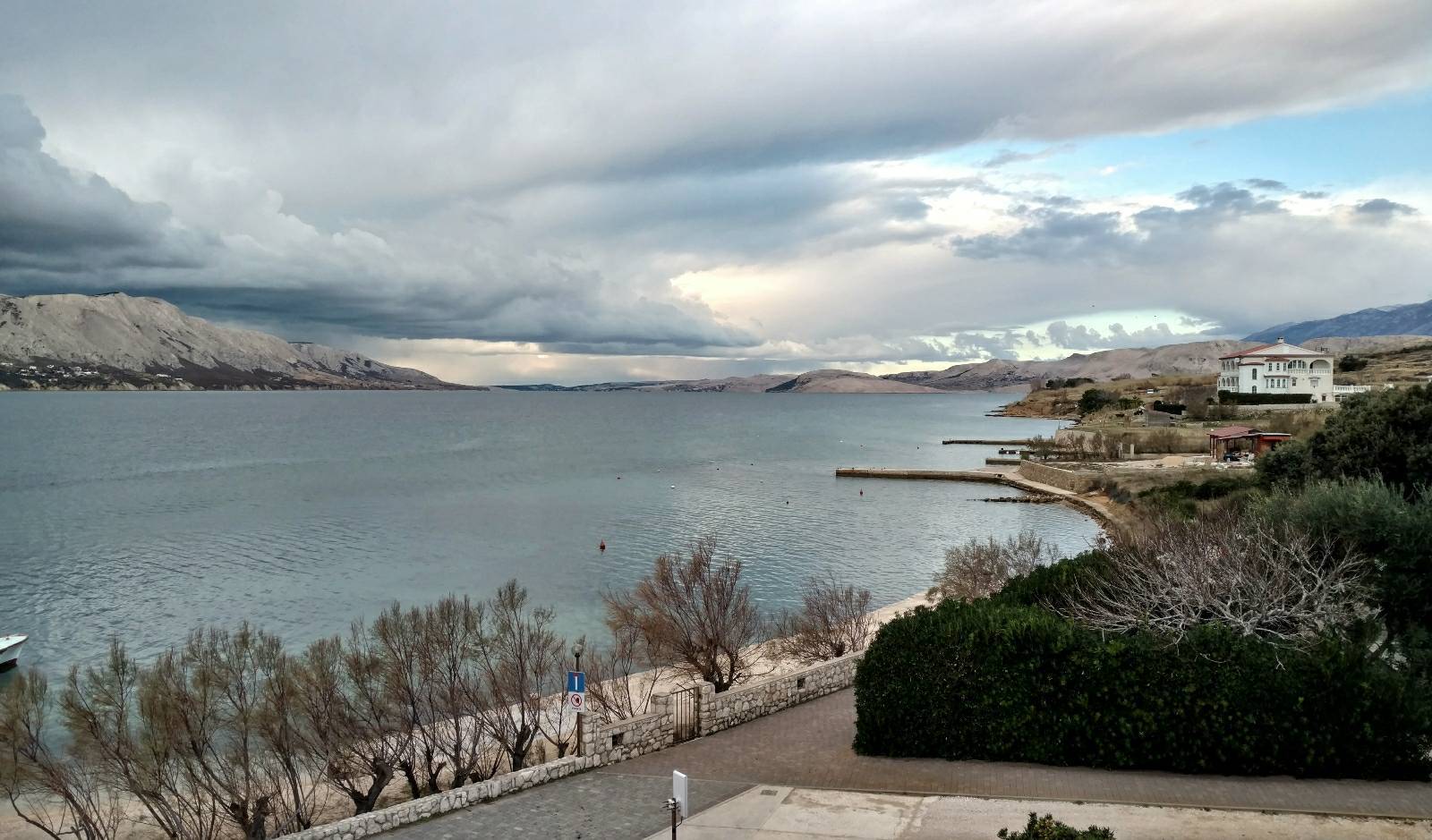
Mind the strong Bura wind, especially in winter.
- Tips
-
Be creative, don't blindly follow the official Blue Trail or my track, but look on the map and combine the different tracks and trails.
When you're planning to hike the entire Via Dinarica Blue Trail, keep in mind that this is a trail in development. It is not officially open yet. This means that the official GPX track is not always accurate and the signposts and markations are sometimes old or not existing. The route I hiked tries to follow the Blue Trail as much as possible, but I also looked at the Via Adriatica Trail, made detours and of course I sometimes had to take an alternate route due to the weather.
Croatian Long Distance Trail
https://viaadriatica.org/en/
Official Via Dinarica Blue Trail
EVA's Blue Trail
- Additional information
-

-
AuthorThe tour Velebitski Kanal - Pag (Via Dinarica day 219) | Blue Trail in Croatia is used by outdooractive.com provided.