Dubrovnik - Mali Zaton (Via Dinarica day 191) | Blue Trail in Croatia

long-distance walking trail

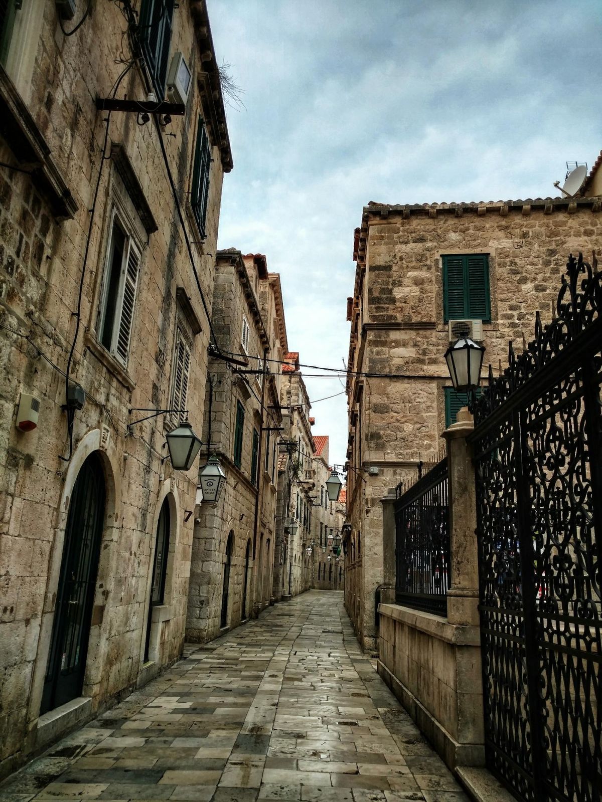
© EVAdinarica Project - EVA dinarica

© EVAdinarica Project - EVA dinarica

© EVAdinarica Project - EVA dinarica

© EVAdinarica Project - EVA dinarica


- Brief description
- Difficulty
-
easy
- Rating
-
- Route
-
Zlatni potok0.1 kmViktorija0.4 kmBorgo Plonche0.9 kmNuncijata1.4 kmSt. Dominic's Church1.5 kmGospa od Ružarija1.5 kmDubrovnik1.6 kmSv. Nikola1.7 kmSt Blaise's Church1.8 kmCittà Vecchia2.0 kmChurch of the Annunciation2.1 kmÉglise Saint-Joseph2.1 kmIslamska zajednica Hrvatske - Mešihat2.1 kmDomino2.2 kmÉglise Saint-François2.3 kmSt. Saviour Church2.3 kmPloce2.4 kmBorgo Pile2.7 kmSan Giorgio2.8 kmVješala3.2 kmŠiškovo3.8 kmSv. Elizabeta3.8 kmDubrovnik4.7 kmMontovjerna5.2 kmLapiduzzo6.6 kmGravosa15.0 kmCrumula20.3 kmČapetino20.8 kmVrbica21.8 kmKonoba Veranda22.8 kmŠtikovica22.8 kmKonoba-Pizzeria "Arka"23.0 kmKonoba Gusar23.1 kmBunica23.4 kmKonoba Vala25.3 kmZaton Mali26.0 kmKonoba Dandy26.5 km
- Best season
-
JanFebMarAprMayJunJulAugSepOctNovDec
- Description
-
TRAILNOTES: Via Dinarica Blue Trail in Croatia
- Highest point
- 178 m
- Height profile
-
 © outdooractive.com
 - Equipment
-
GPS
waterfilter - Safety instructions
-
Mind the strong Bura wind, especially in winter and pay attention to:
ticks scorpions Black Widow spiders Nose-horned Viper wild animals (bear, wolf, lynx, wild boar) heat - Tips
-
Be creative, don't blindly follow the official Blue Trail or my track, but look on the map and combine the different tracks and trails.
When you're planning to hike the entire Via Dinarica Blue Trail, keep in mind that this is a trail in development. It is not officially open yet. This means that the official GPX track is not always accurate and the signposts and markations are sometimes old or not existing. The route I hiked tries to follow the Blue Trail as much as possible, but I also looked at the Via Adriatica Trail, made detours and of course I sometimes had to take an alternate route due to the weather.
Croatian Long Distance Trail Via Adriatica Trail Official Via Dinarica Blue Trail Cicerone: Hiking along the islands of Croatia EVA's Blue Trail - Additional information


-

-
AuthorThe tour Dubrovnik - Mali Zaton (Via Dinarica day 191) | Blue Trail in Croatia is used by outdooractive.com provided.
GPS Downloads


General info
Refreshment stop
Cultural/Historical
Other tours in the regions
-
Insel Lopud
9
-
Dubrovnik
7