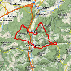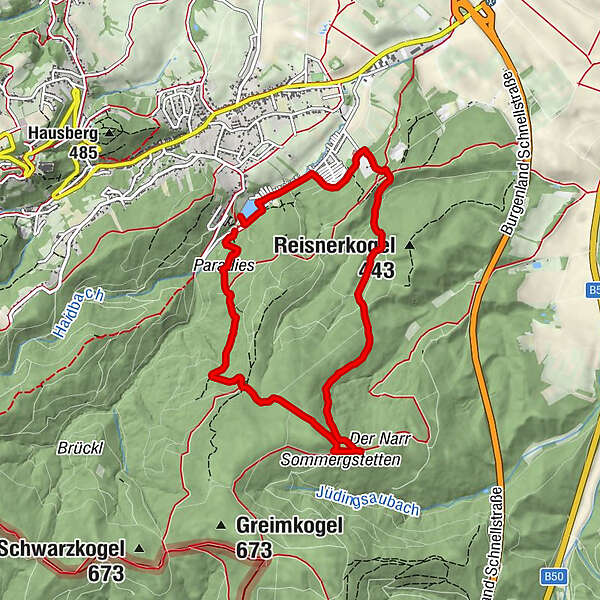

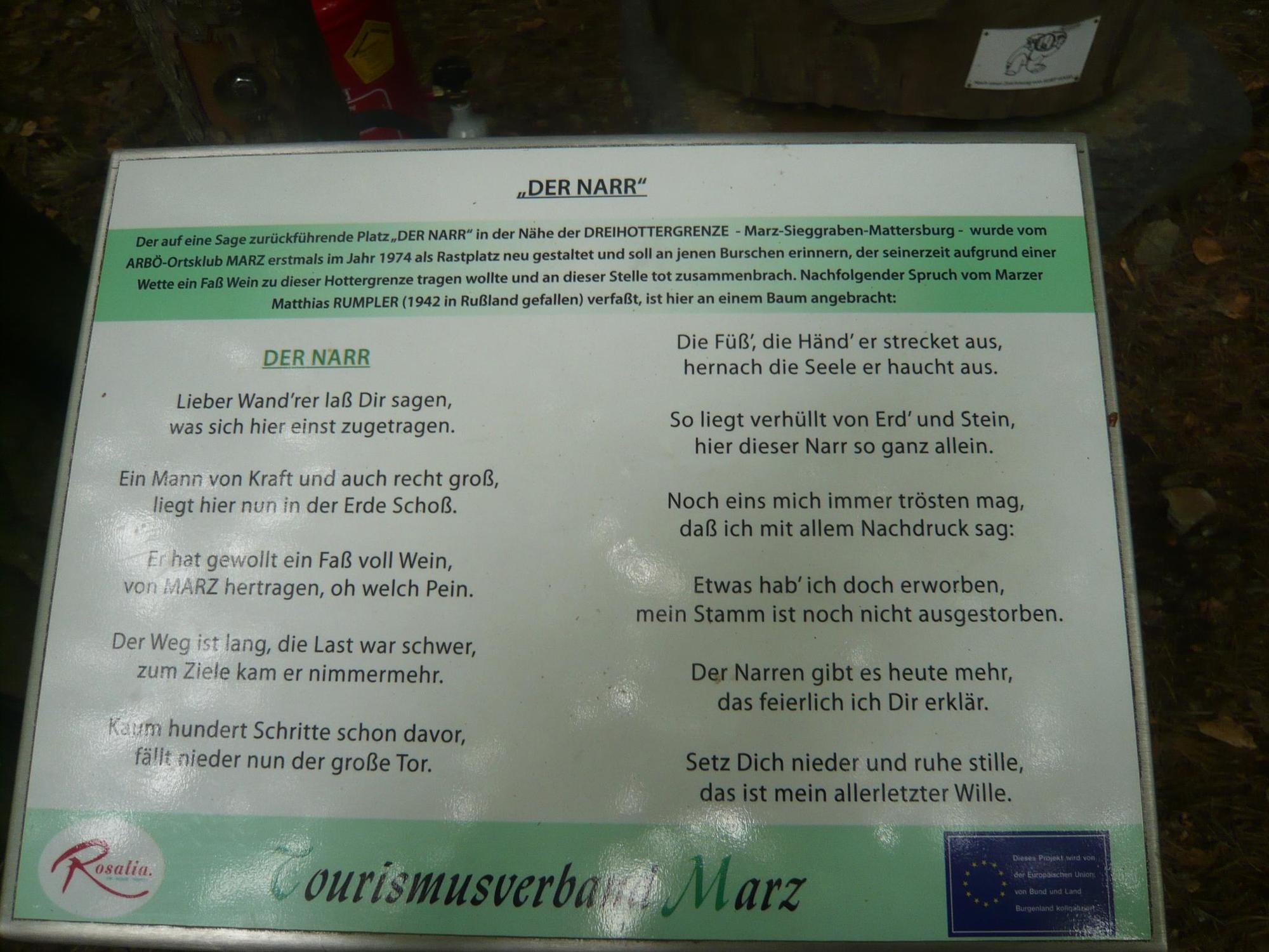
- Brief description
-
Mittelschwere Tour
- Highest point
- 604 m
- Height profile
-

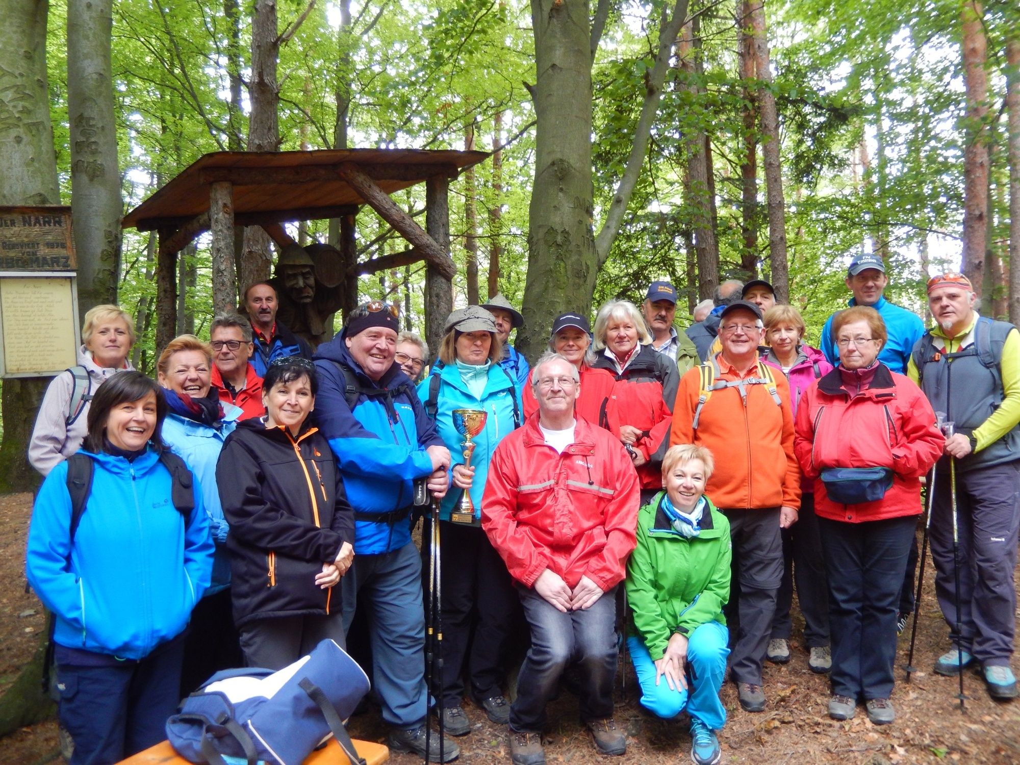
- Author
-
The tour Tour planned at October 19, 2016 is used by outdooractive.com provided.
GPS Downloads


Other tours in the regions
-
Wiener Alpen
3036
-
Bucklige Welt - Wiener Alpen
793
-
Forchtenstein
259


")

")