
- Brief description
-
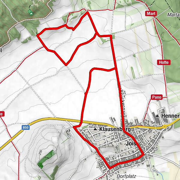
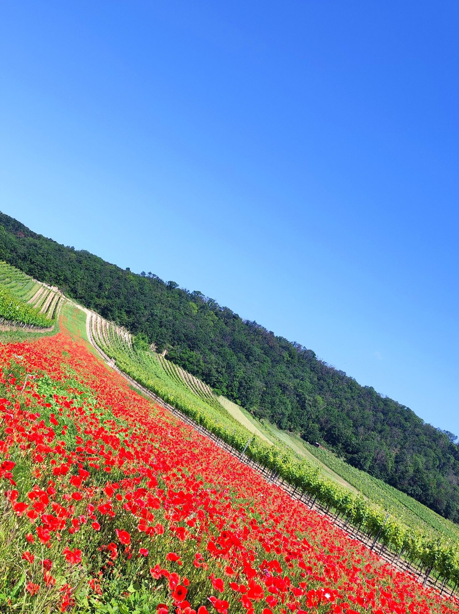
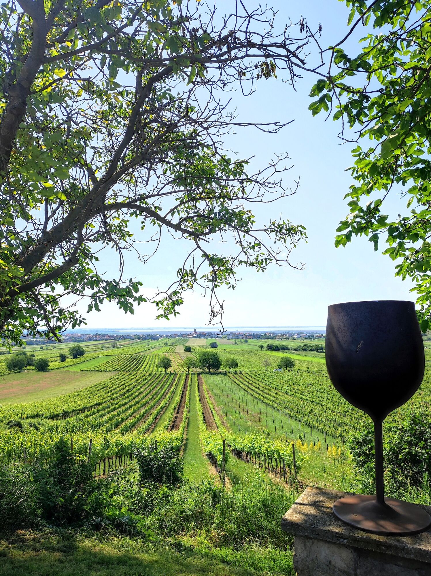
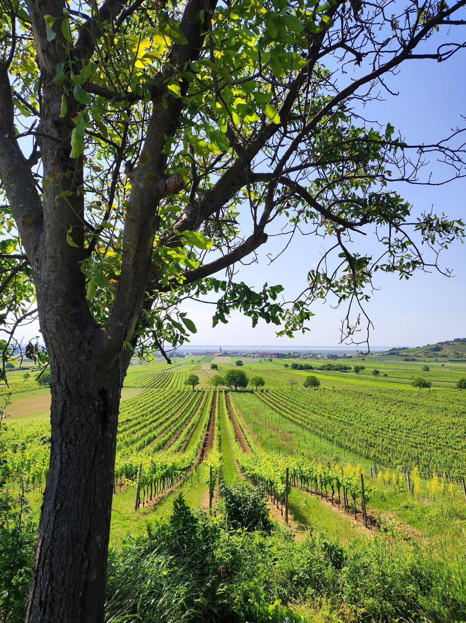
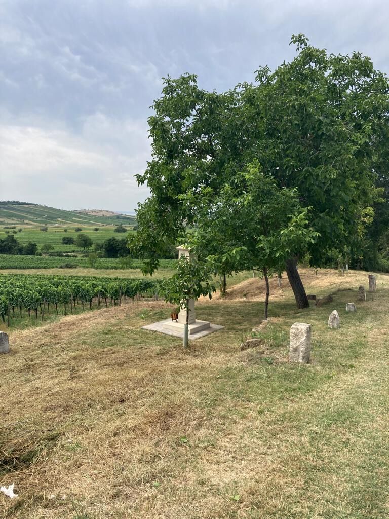
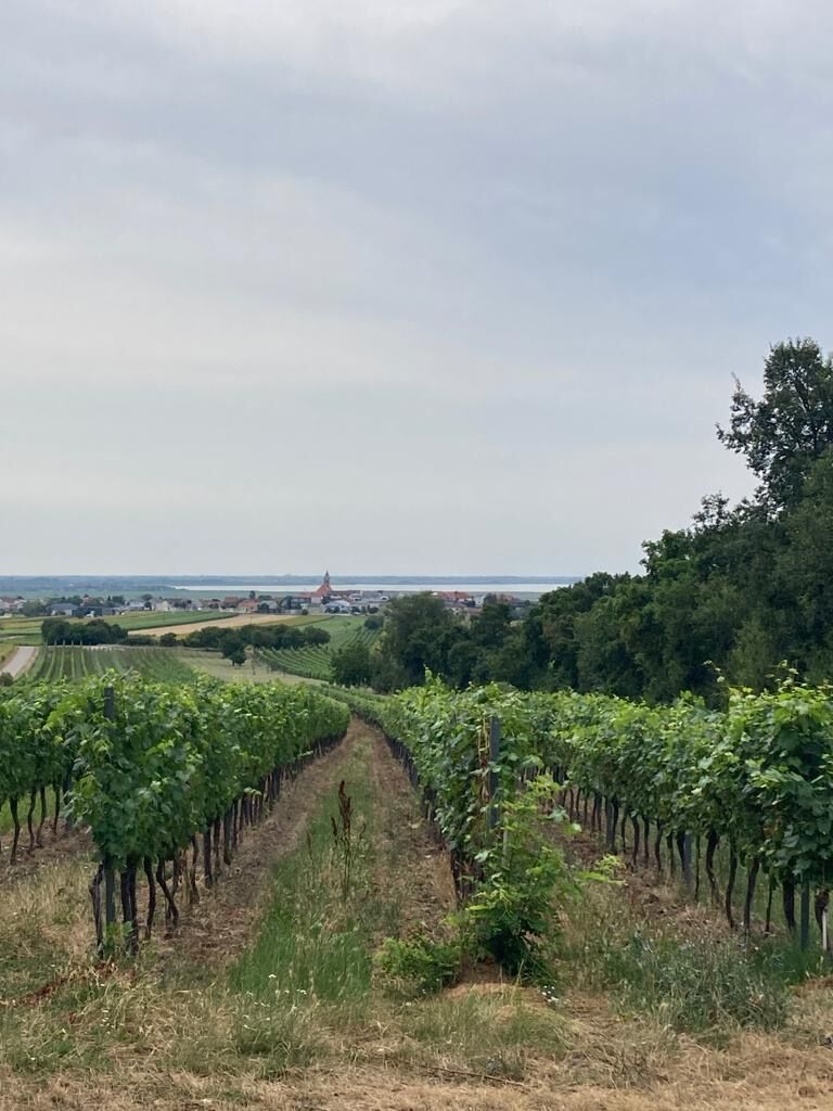
In the midst of the Jois vineyards, the educational wine trail provides an insight into the history and tradition of viticulture on the slopes of the Leitha Mountains at ten stations. The leisurely hike leads from the centre of the village to the educational trail, offering a beautiful view of the villages of Jois and Winden as well as of Lake Neusiedl;
- Difficulty
-
medium
- Rating
-
- Starting point
-
Jois
- Route
-
Herz-Jesu-Kirche0.0 kmJois0.6 kmHubertuskapelle3.6 kmHerz-Jesu-Kirche7.7 kmJois7.7 km
- Best season
-
JanFebMarAprMayJunJulAugSepOctNovDec
- Directions
-
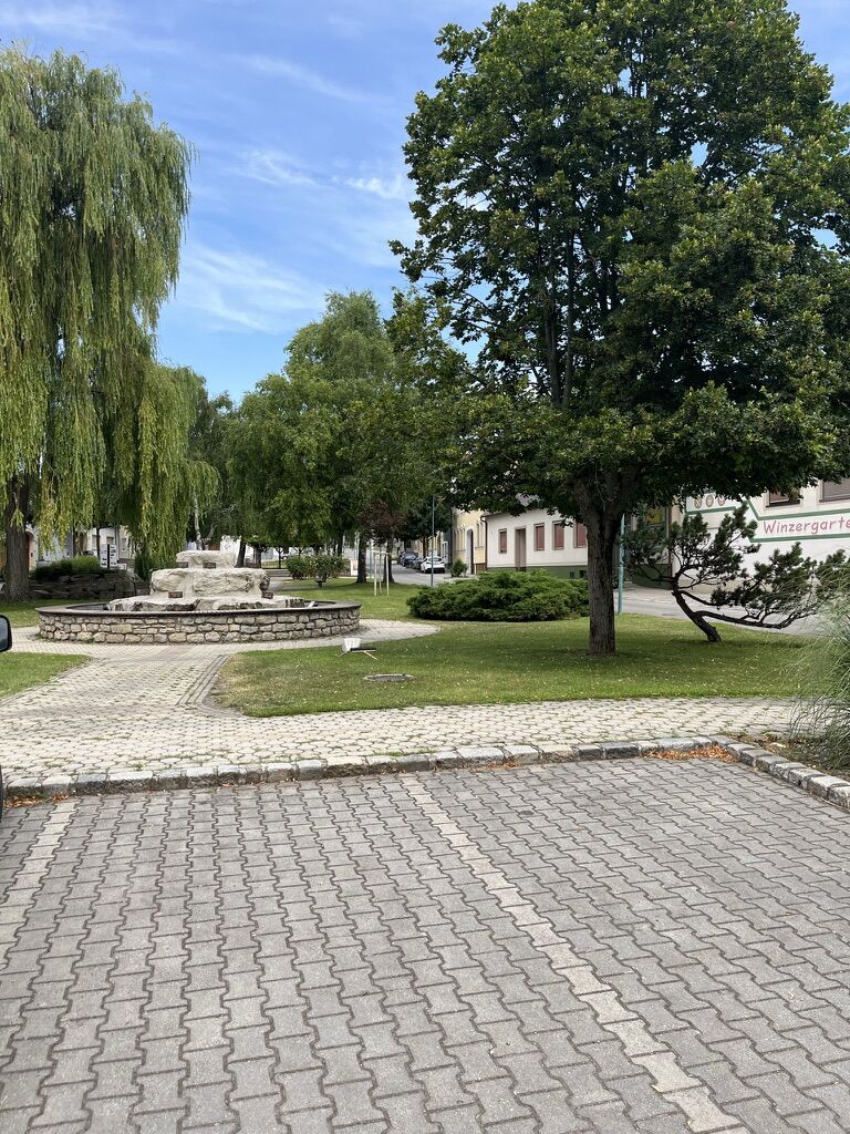
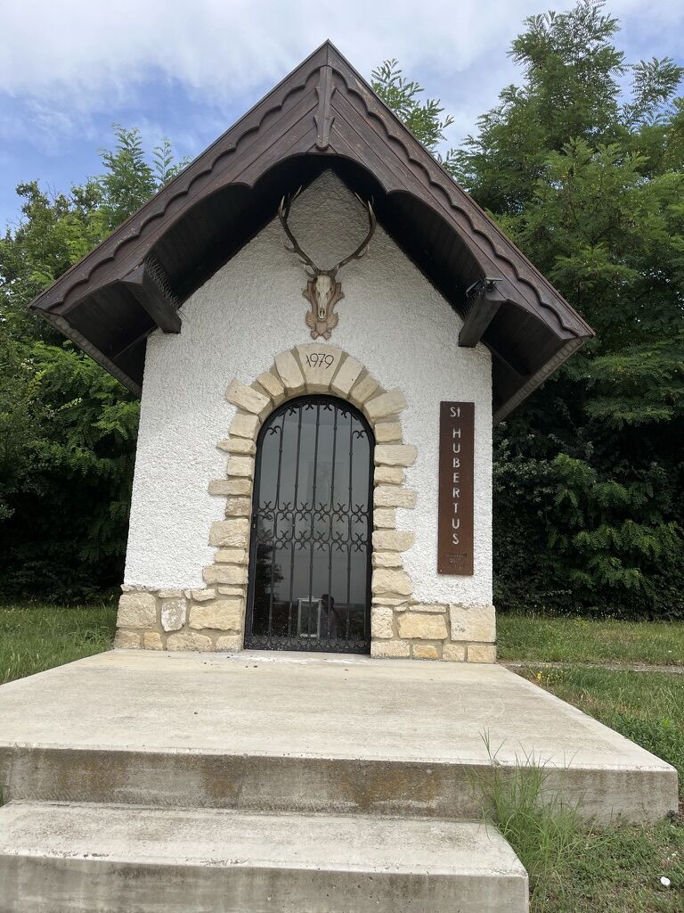
From the Jois municipal office, first follow the main road northwards and then turn left into the next street (Joseph Haydn-Gasse). Walk up Joseph Haydn-Gasse and cross the B50. To the left of Gasthof Schnepfenhof, walk along Bruckergasse and follow the cycle path straight on in a northerly direction. After a short climb, you will come to the first station of the educational wine trail. Now follow the signs to the left and pass the various stations that inform you about viticulture in the region. At the fourth information board there is a rest area, turn right there and walk slightly uphill to the next station and the Hubertus Chapel. Now turn right. On the left, above the vineyards, stones have been piled up to form a wall, and at the back there is a beautiful view over the Jungerberg and Hackelsberg nature reserves and to Winden. After another rest stop and a beautiful view of Jois and Lake Neusiedl, you finally return to the entrance to the wine trail. From here you have the option of taking the same path back to Jois. A somewhat longer variant leads further through the vineyards back into the built-up area. On the Jois-Kellerweg-Satz path you pass old wine cellars. At the end of the road, turn left and walk back to the starting point.
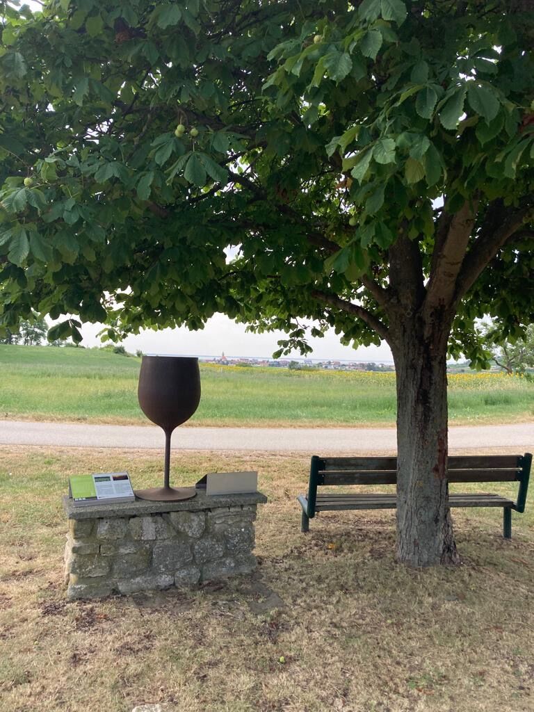
Highlights:
• Ten stations provide an insight into viticulture in the region and offer information about the work in the vineyard in times gone by.
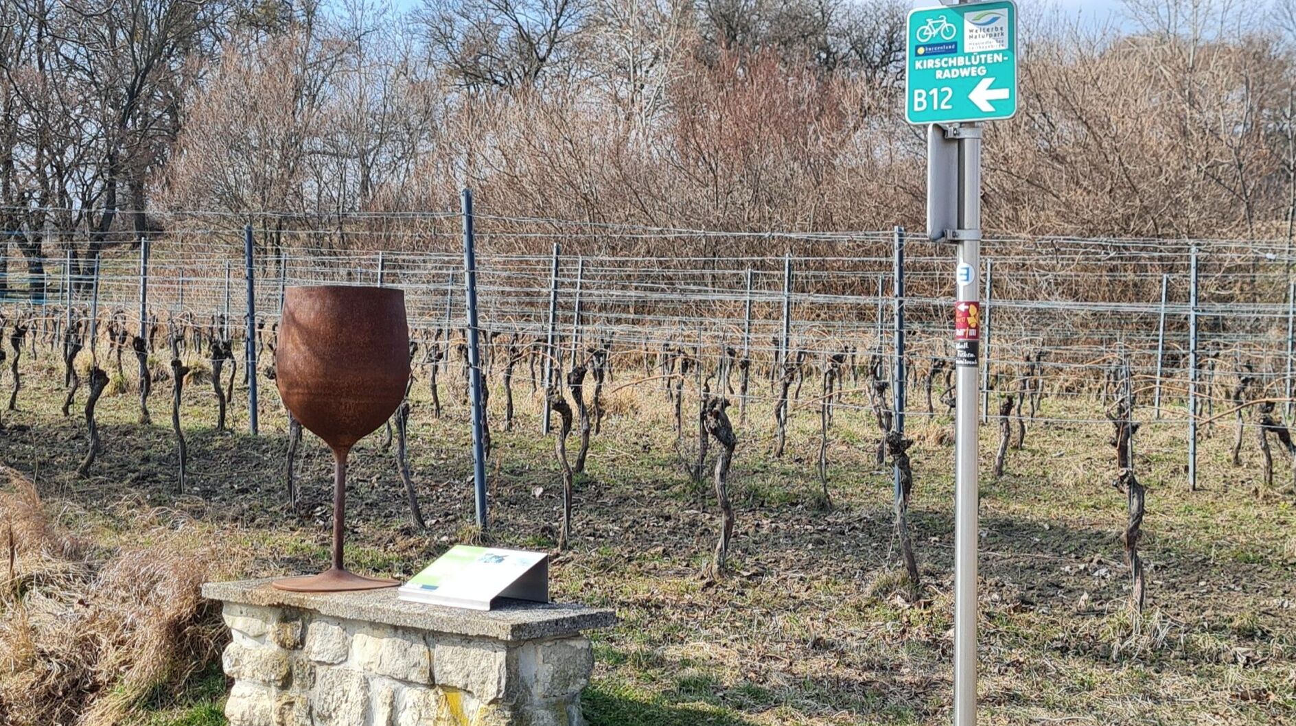
• As signposts and symbols for the stations, oversized metal wine glasses were made. They indicate the stations and have already become a popular photo motif.
• Nut and fruit trees repeatedly line the path and bear witness to the former multiple use of the vineyards.
• Towards the forest there is a stone wall that is often found in the region: the slope was terraced so that the rain would not run off so quickly and the vines, which used to reach much further up, would be better supplied with water.
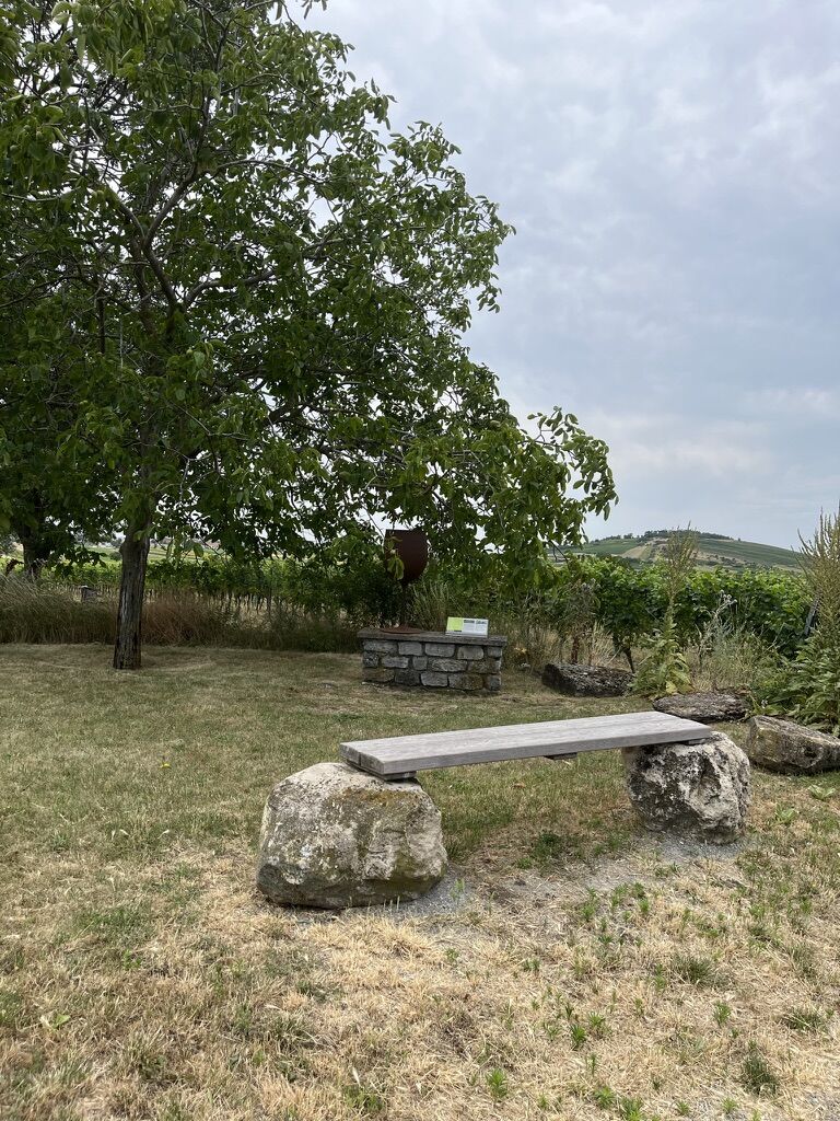
• Several rest areas invite you to linger along the wine trail in the midst of the vineyards.
- Highest point
- 193 m
- Endpoint
-
Jois
- Height profile
-

- Tips
-
With the Burgenland Card: Unlimited holiday fun & offers as far as the eye can see!
All the info: Burgenland Card
- Additional information
- Directions
- Public transportation
-
Travel by train:
Lake Neusiedl can be reached easily & comfortably by train. No matter whether you are travelling from Switzerland, Germany, the West or South ÖAustria: You can change trains at the main station in Vienna. The regional trains of the ÖBB take you to Neusiedl am See station in just under 40 minutes, where there are also coordinated bus and train connections in the direction of Pamhagen / Fertöszentmiklos or Eisenstadt or Sopron. Bicycles can be taken on most trains: a reservation for your bicycle is absolutely necessary on the Railjet and the EC/IC as well as on the Nightjets. On regional trains, your bicycle will be taken along without a reservation, subject to the availability of the available bicycle parking spaces.
- Author
-
The tour Hike to the wine trail is used by outdooractive.com provided.