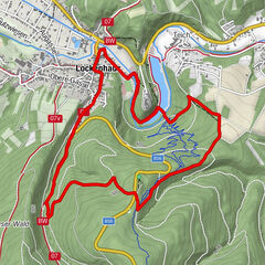
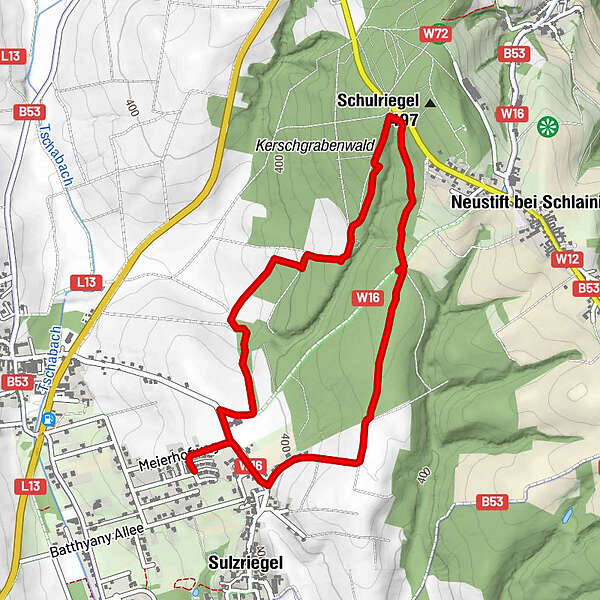
Tour data
4.88km
383
- 448m
65hm
53hm
01:26h
- Difficulty
-
easy
- Rating
-
- Route
-
Sulzriegel4.4 km
- Best season
-
JanFebMarAprMayJunJulAugSepOctNovDec
- Highest point
- 448 m
- Information material
-

GPS Downloads


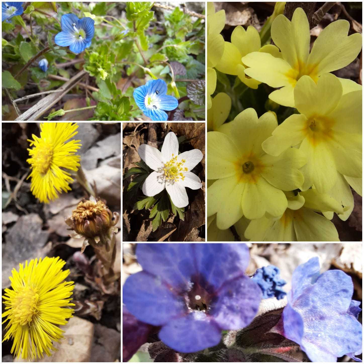
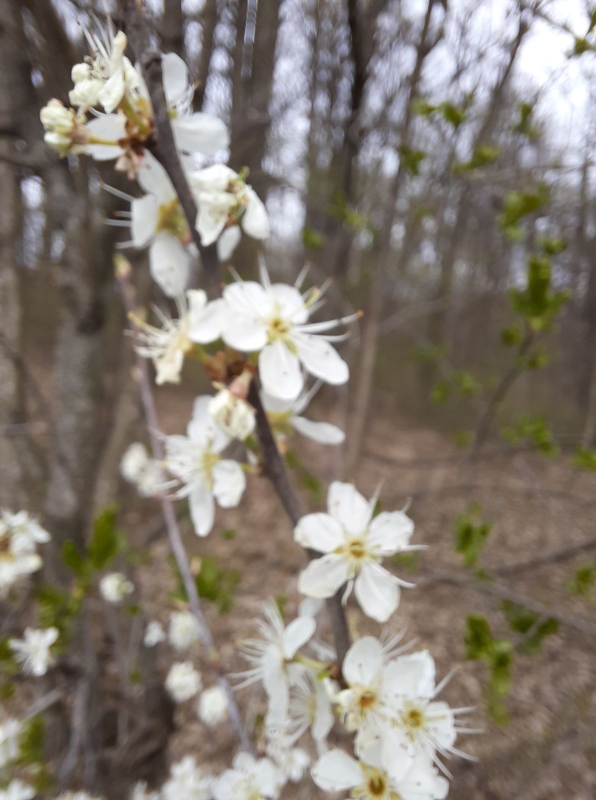
Trail conditions
Asphalt
Gravel
Meadow
Forest
Rock
Exposed
Other tours in the regions