
- Brief description
-
Rosalia-Kogelberg Nasture Park meets Landseer Berge Nature Park.
Deep relaxation and birdsong - if you are interested in the forest and its many different voices or are simply an avid television viewer, you will love this hike through the Rosalia-Kogelberg Nature Park to the Landseer Berge Nature Park . But this excursion to the Celts can also inspire those interested in culture.
- Difficulty
-
difficult
- Rating
-
- Starting point
-
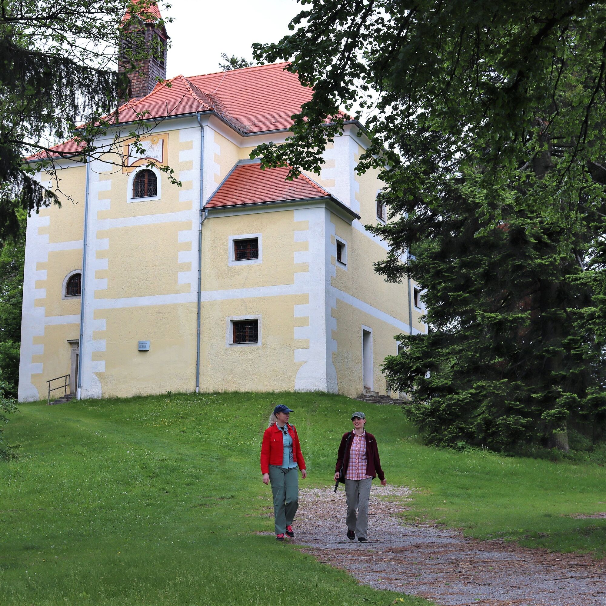
Gipfel Heuberg/Rosalienkapelle
- Route
-
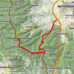
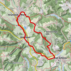
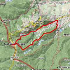
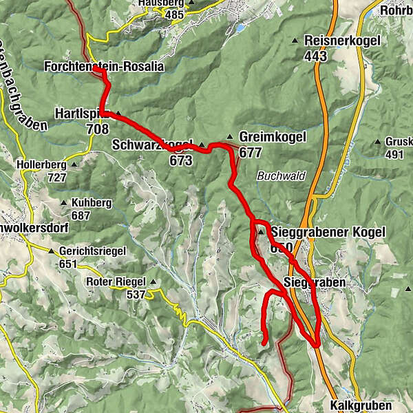
Rosalienkapelle0.0 kmHeuberg (748 m)0.0 kmHubertuskapelle0.2 kmForchtenstein-Rosalia0.2 kmHartlspitz (708 m)1.7 kmSchölderl9.3 kmBurgberg (544 m)10.9 kmKeltendorf11.0 kmSchölderl12.6 kmMühlen15.1 kmSieggraben15.9 kmRiegel16.3 kmHartlspitz (708 m)23.6 kmForchtenstein-Rosalia25.2 kmHubertuskapelle25.3 kmHeuberg (748 m)25.5 kmRosalienkapelle25.5 km
- Best season
-
JanFebMarAprMayJunJulAugSepOctNovDec
- Description
-
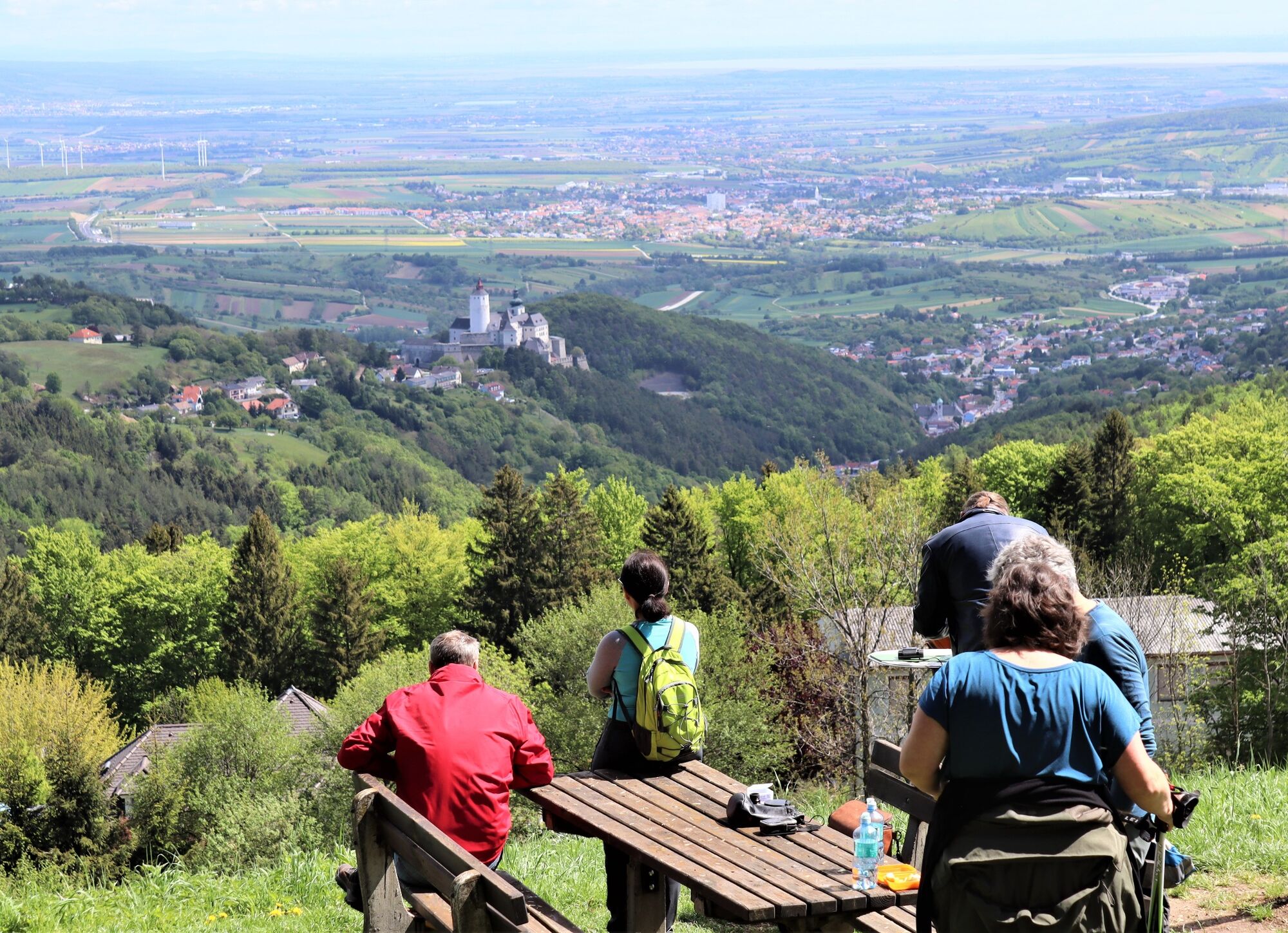
The Rosalia Chapel, todays starting point for the hike, is located at the highest point of the Rosalia-Kogelberg Nature Park.
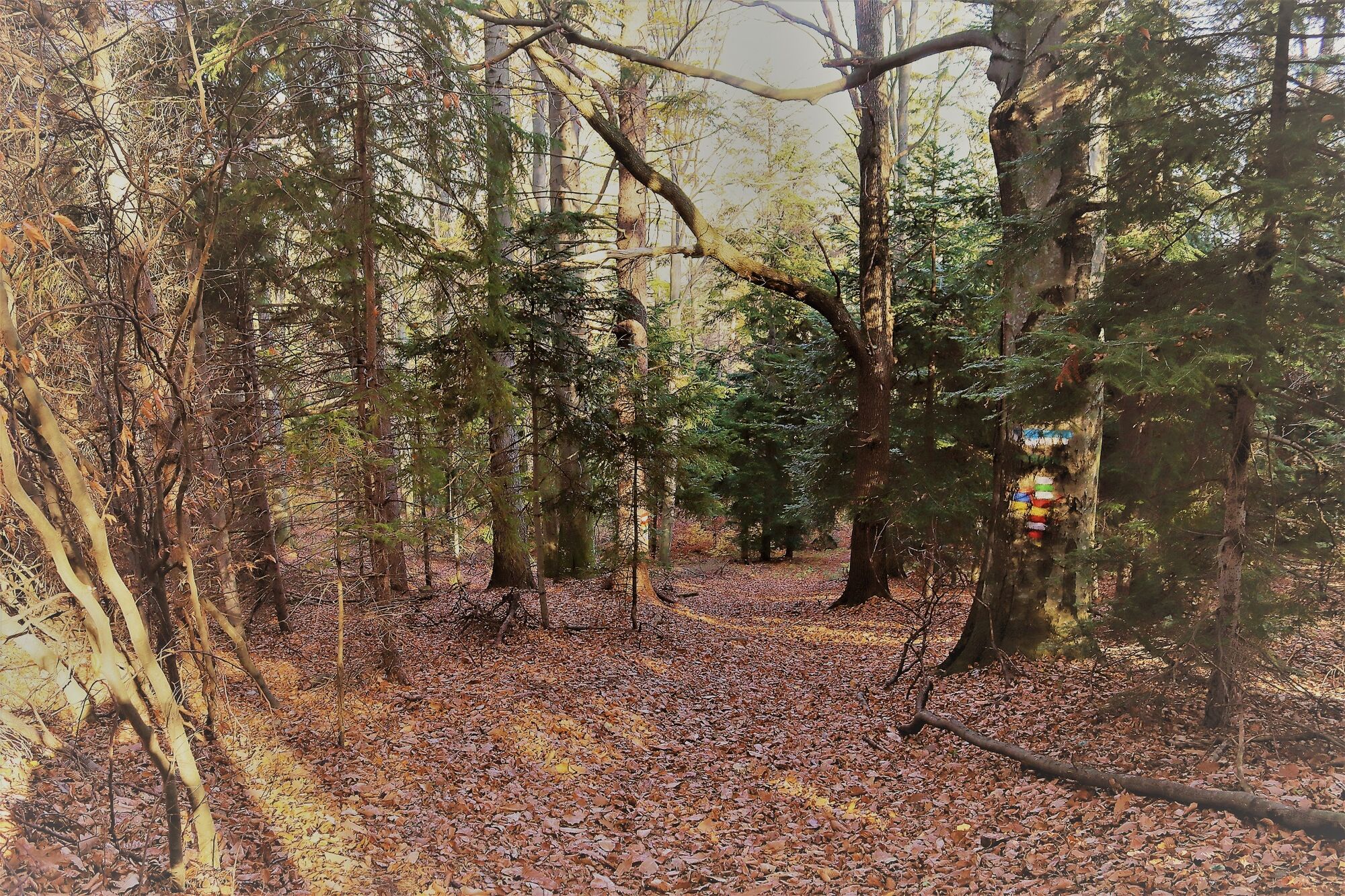
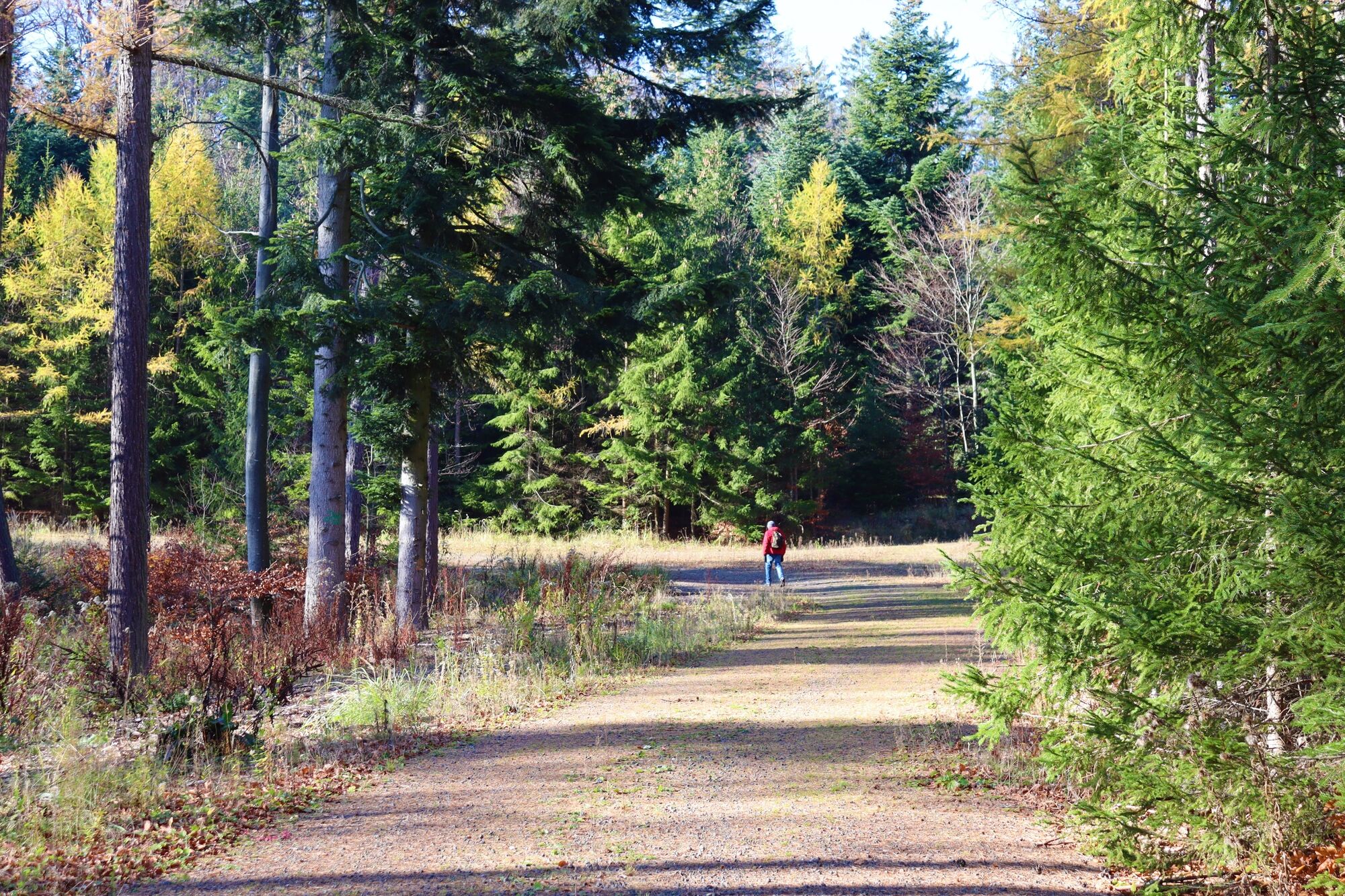
Enjoy the most beautiful panoramic view of the entire Rosalia-Kogelberg Nature Park and far beyond, put your rucksack on your back and off you go. On shady forest paths, sun-drenched clearings surrounded by the gentle scent of the forest, you hike towards your destinatioin. At Schöderl - the hill between Sieggraben and Schwarzenbach - the Landseer Berge Nature Park welcomes you with a wonderful view of the Bucklige Welt.
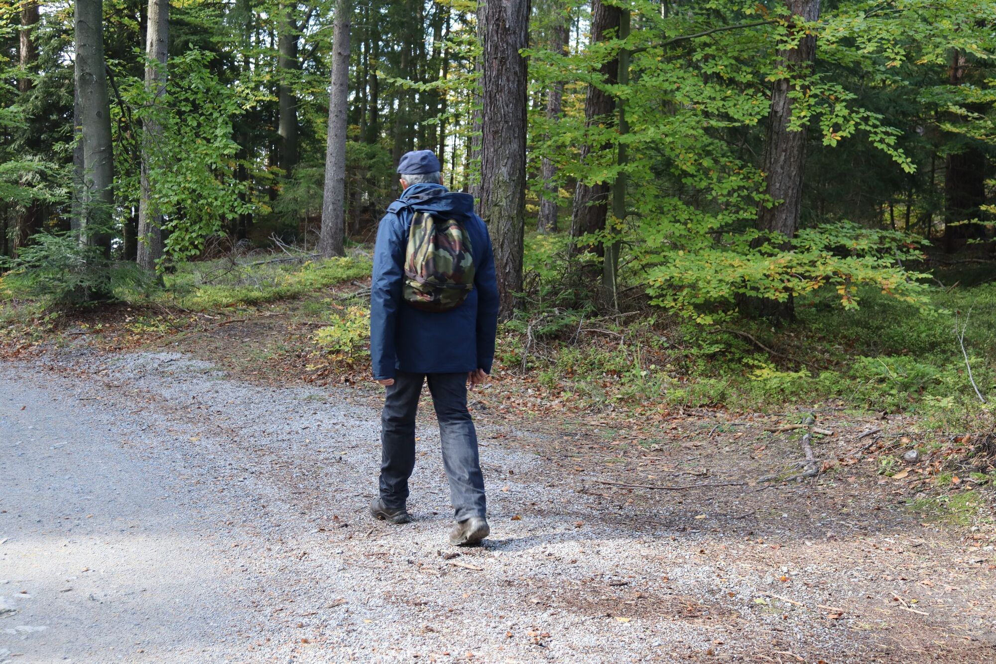
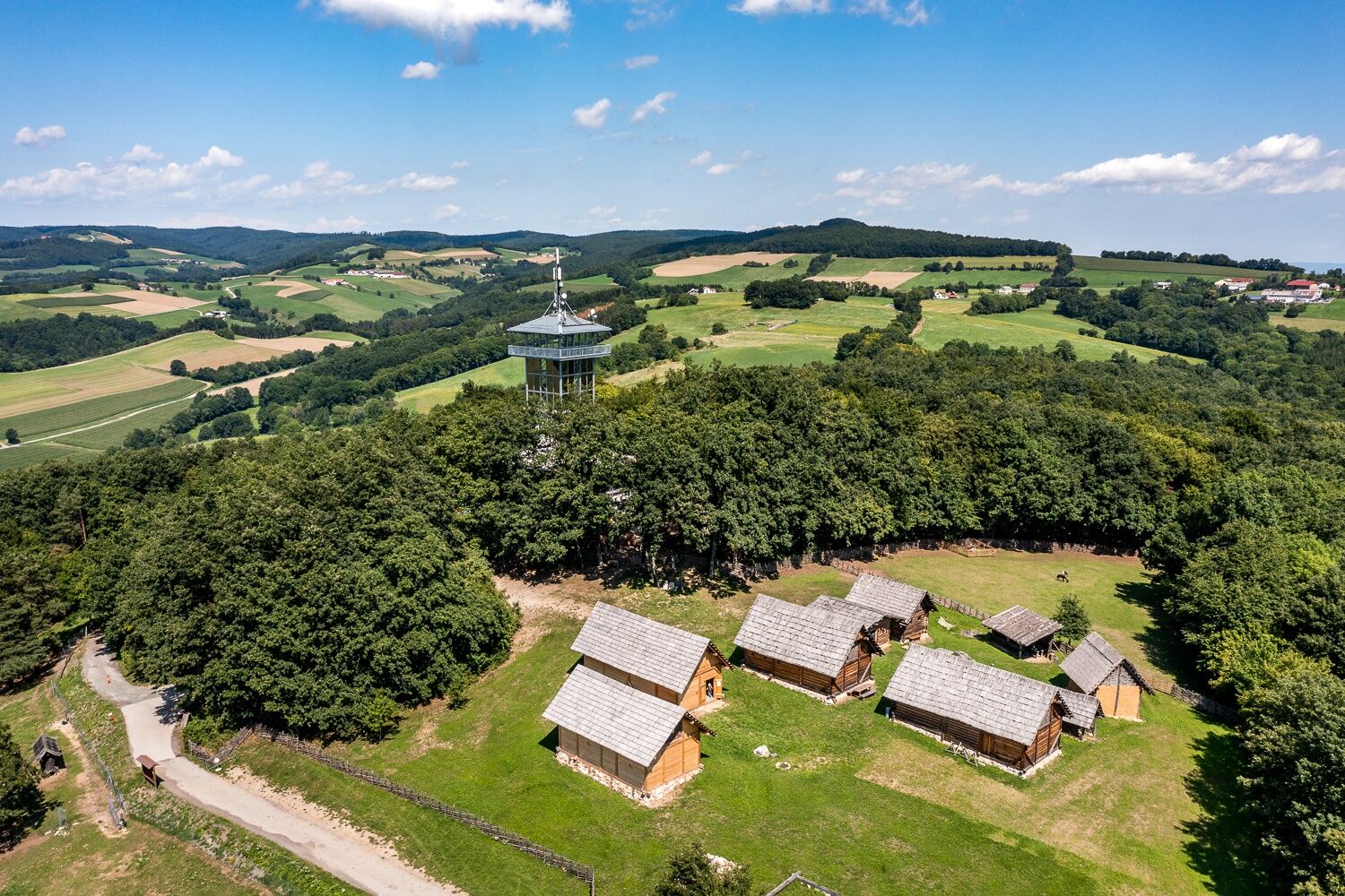
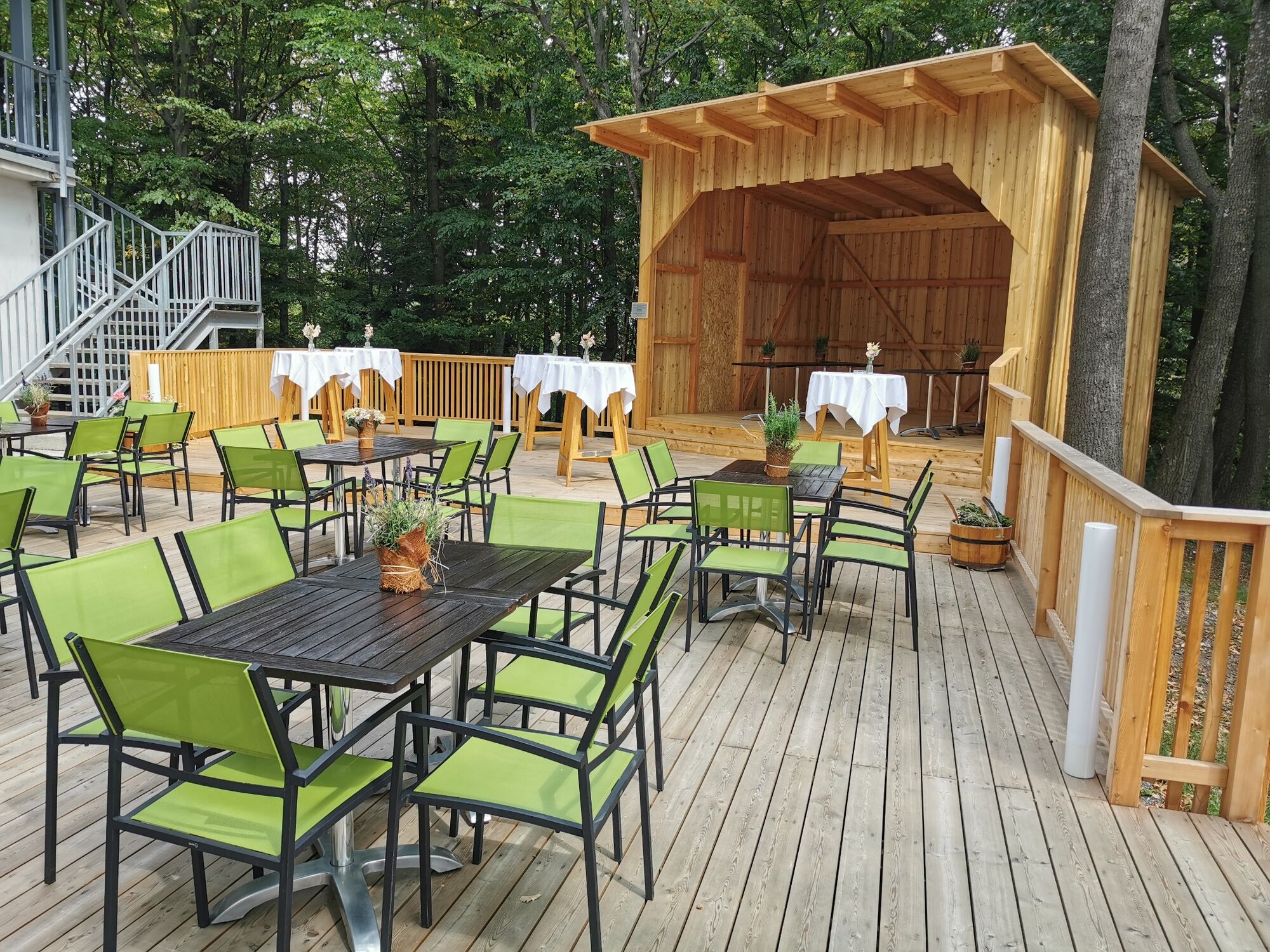
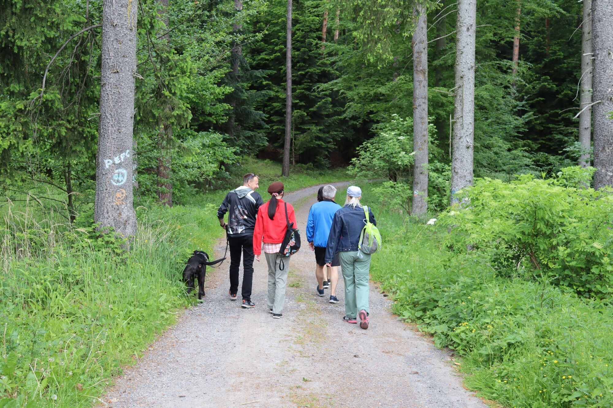
It is not far to the Celtic village (archaeological open-air museum) with its viewing tower, from where you can see as far as the Rax and Schneeberg on one side and Oberpullendorf and Pauliberg on the other. This archaeological open-air museum, which consists of 9 buildings, provides an insight into the everyday life of the Iron Age population. The way there is well signposted. Refreshments can be found in the cozy Turmcafe. You can choose to return via the Eulenweg. You walk down to Sieggraben then towards Sieggrabener Kogel, past the sports field under the expressway bridge, along the Auwiesenbach stream towards Schwarzkogel and back to Rosalia. It is a hike like many before it, in one of the most beautiful areas of Burgenland. And yet this time it is different! The voices and the unmistakable smell of the forest, the birdsong, the sun´s ray on you skin and the peace and quiet are feltever more intensely here.
- Directions
-
The hike starts at the summit of the Heuberg at the Rosalia Chapel with the most beautiful view in Burgenland. You hike down from the chapel. Continue on the right along the country road to the end of the Rosalienhäuser, the border to the Bucklige Welt. At the turnaround point, turn left onto the Burgenland long-distance hiking trail - marked yellow-red. On shady forest paths and sun-drenched clearings, you pass the Hartlspitz and Schwarzkogel in the direction of Marriegel and Sieggrabener Kogel on the Schöderl to Schwarzenbach.
- Highest point
- 744 m
- Endpoint
-
Rosalia
- Height profile
-

- Equipment
-
boots, water bottle, hiking snack, rain protection
- Safety instructions
-
Accommodation is available in Forchtenstein and Schwarzenbach
- Tips
-
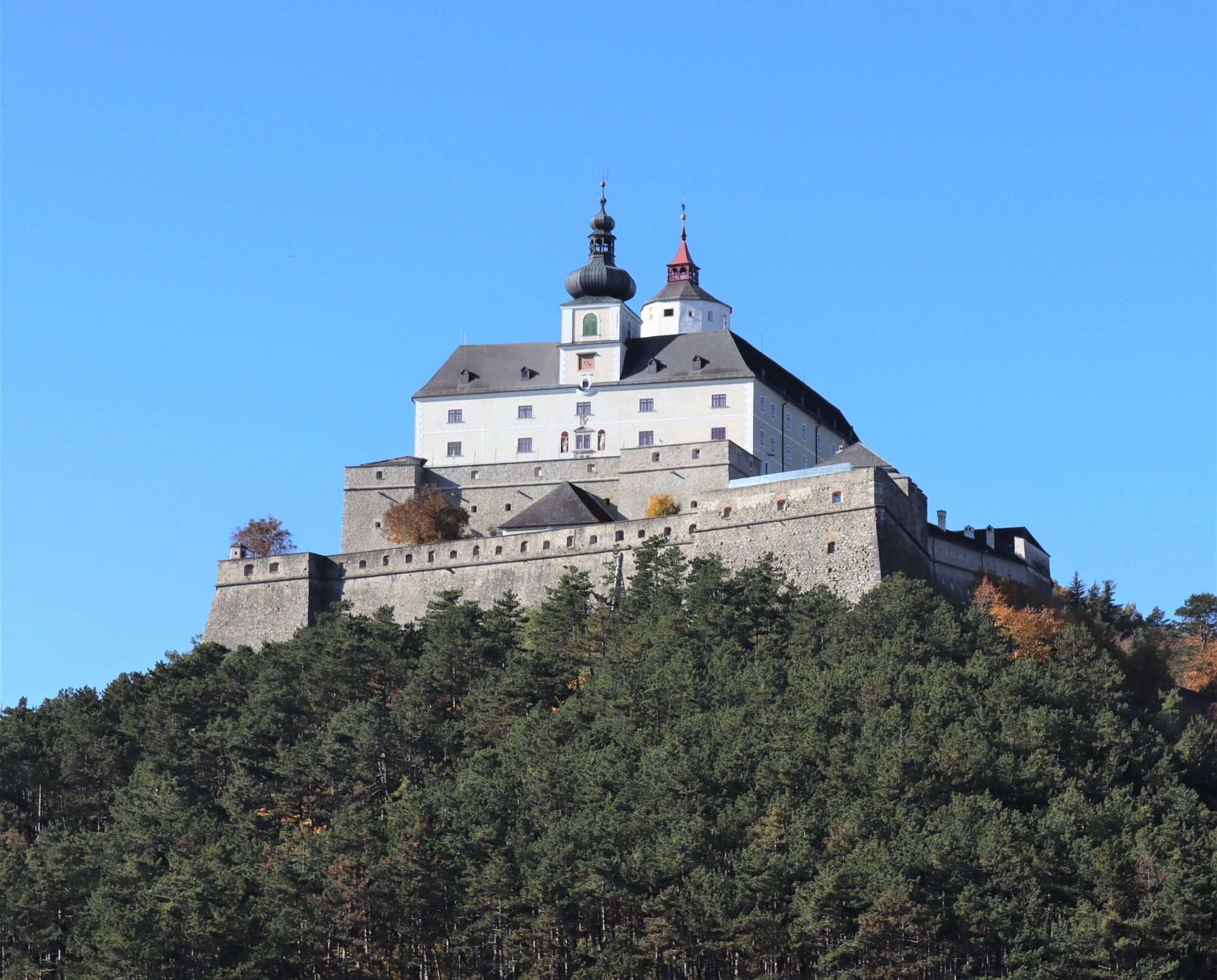
Forchtenstein Castle, Reptile Zoo, Rosalia chapel, Archaeological Open-Air Museum, Daskalakis-Sauerzapf Inn, Rosalia-Alpina, ROSalia apartment, Turmcafe Keltendorf, Kirchenwirt Schwarzenbach
- Additional information
- Directions
-
A1, A2, A3, S4, S31
Federal and state roads
- Public transportation
-
Mattersburg or Wiesen/Sigleß train station
by bus: Blaguss or VOR
- Parking
-
In the parking lot below the chapel
- Author
-
The tour Let´s go to the Celts is used by outdooractive.com provided.


General info
-
Wiener Alpen
3050
-
Bucklige Welt - Wiener Alpen
792
-
Schwarzenbach
199