- Brief description
-
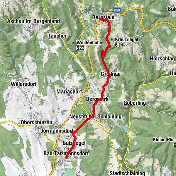
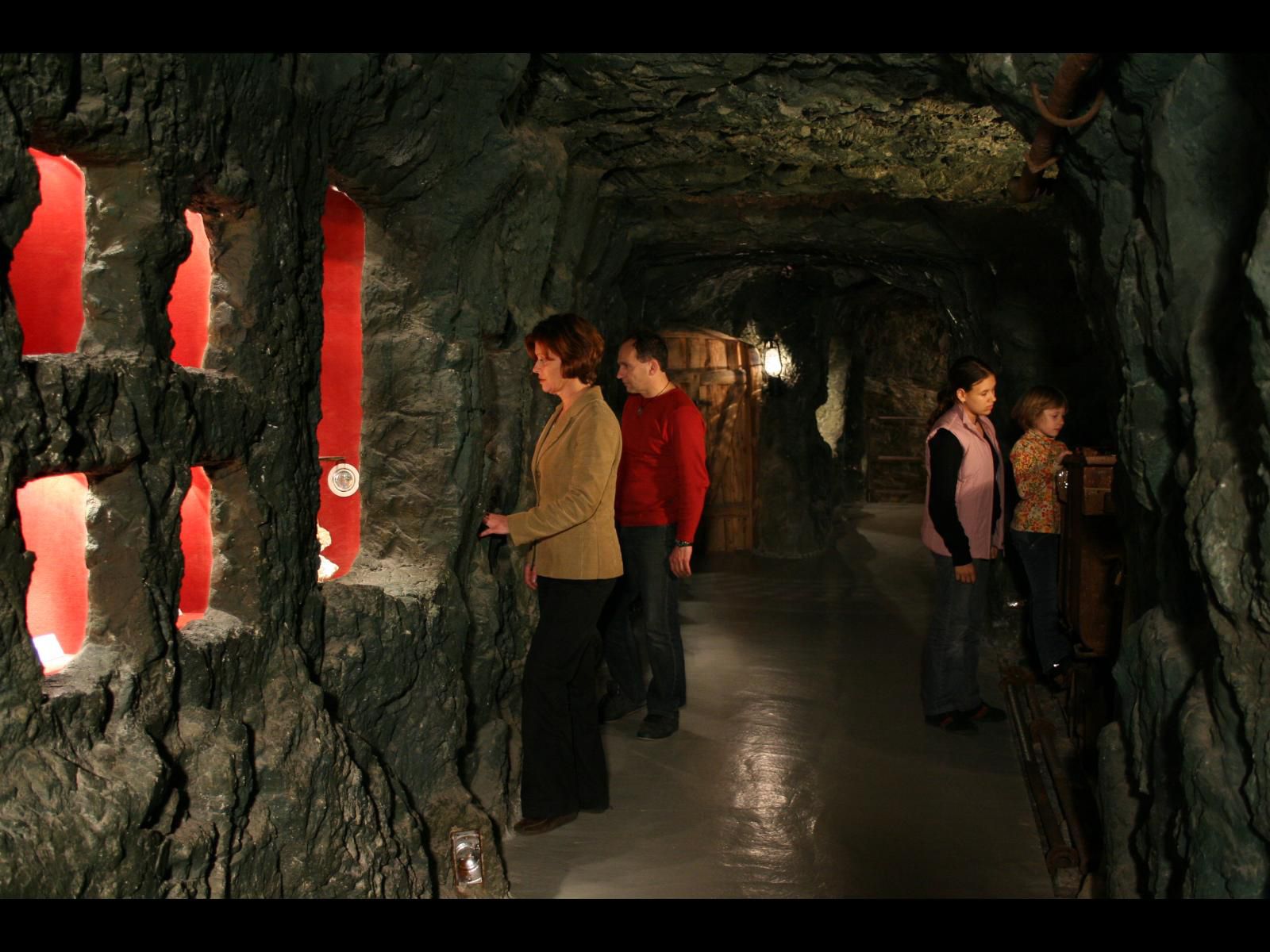
Wanderweg von Bad Tatzmannsdorf in die Edelserpentingemeinde Bernstein
- Difficulty
-
medium
- Rating
-
- Route
-
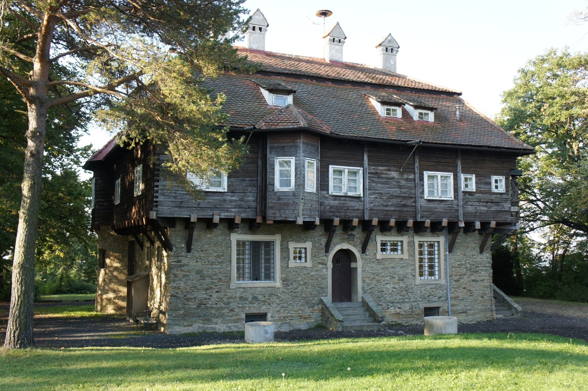
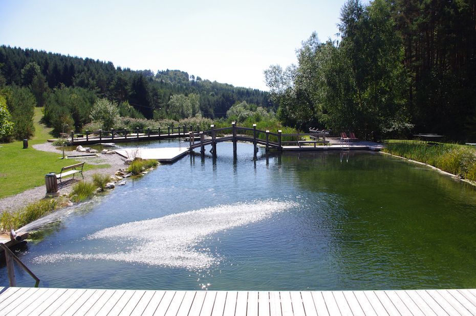
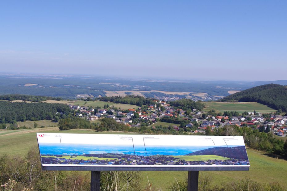
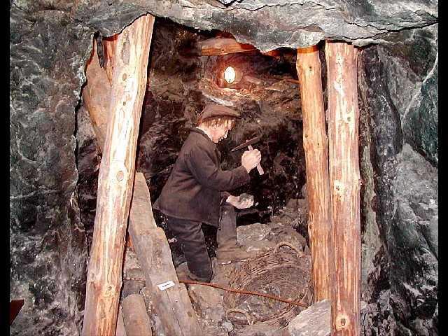
Bad Tatzmannsdorf0.2 kmSulzriegel1.0 kmNeustift bei Schlaining3.5 kmGasthof Koller3.7 kmBergwerk4.5 kmGasthof Seidl4.9 kmGrabenäcker5.0 kmRöm.-kath. Filialkirche zum Heiligsten Herzen Jesu6.5 kmGrodnau (413 m)6.5 kmEvang. Pfarrkirche11.1 kmBernstein11.2 km
- Best season
-
JanFebMarAprMayJunJulAugSepOctNovDec
- Highest point
- 612 m
- Endpoint
-
Bernstein
- Height profile
-


- Author
-
The tour W16 Bernsteinweg is used by outdooractive.com provided.
GPS Downloads


General info
Refreshment stop
Cultural/Historical
Insider tip
A lot of view
Other tours in the regions
-
Wiener Alpen
3048
-
Bucklige Welt - Wiener Alpen
792
-
Mariasdorf
120