© www.fahr-radwege.com

© www.fahr-radwege.com
© www.fahr-radwege.com

© www.fahr-radwege.com
© www.fahr-radwege.com

Tour data
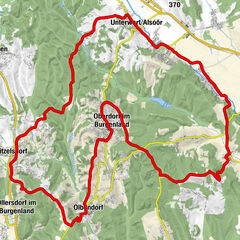
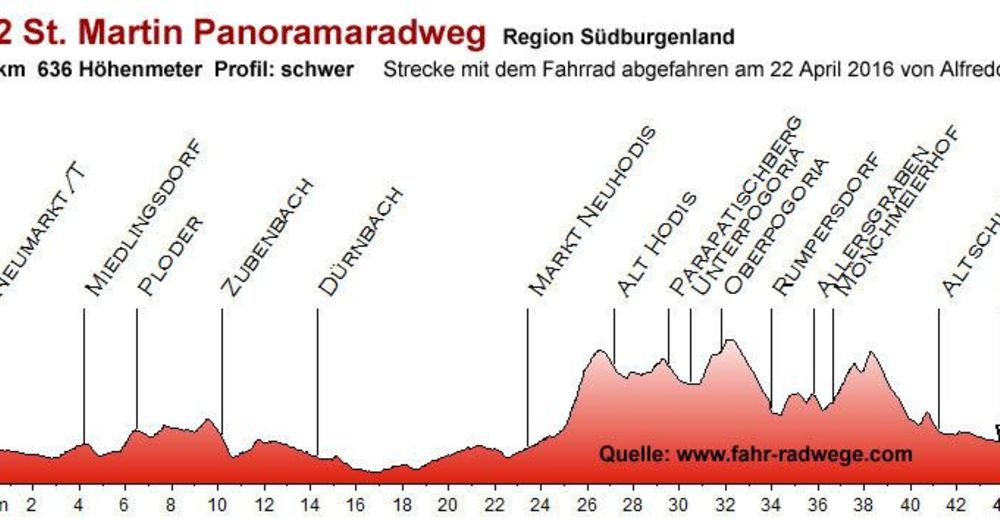
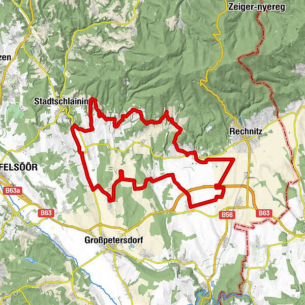
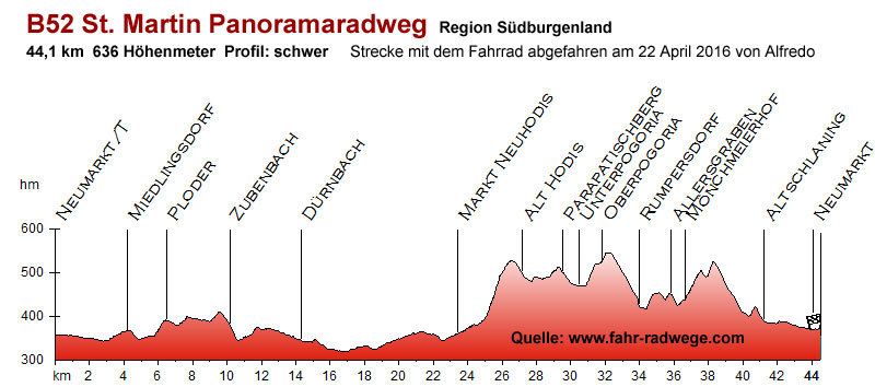
43.51km
262
- 484m
588hm
543hm
03:00h
- Brief description
-
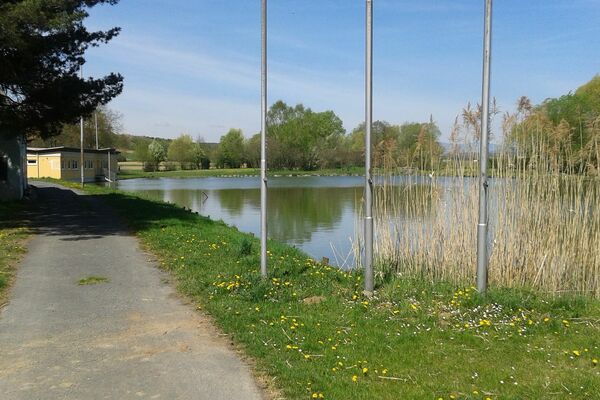
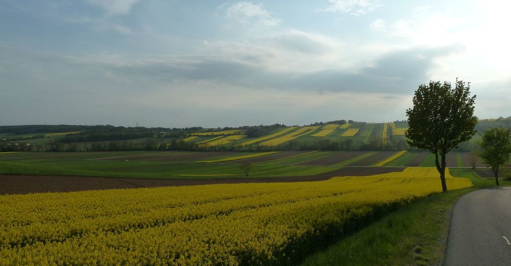
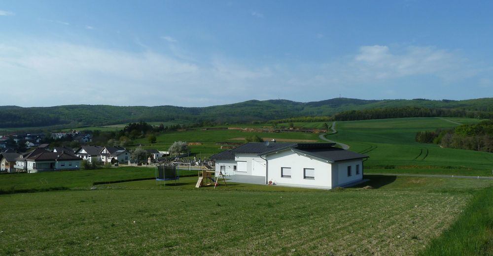
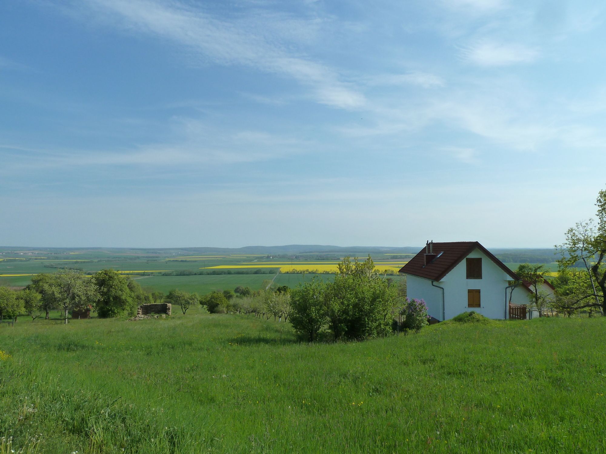
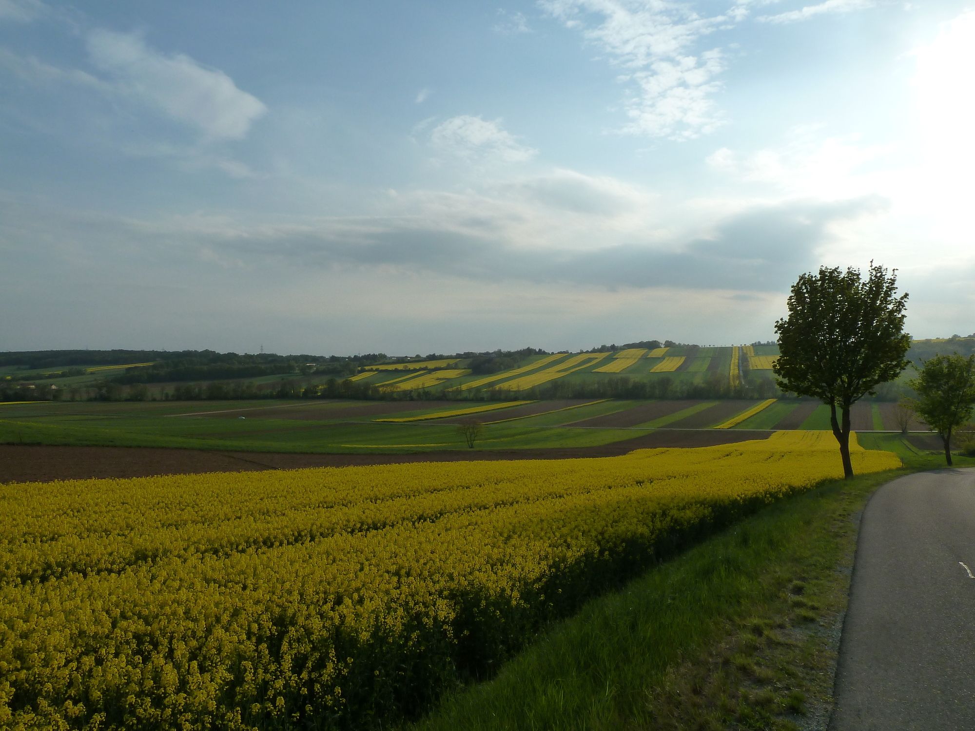
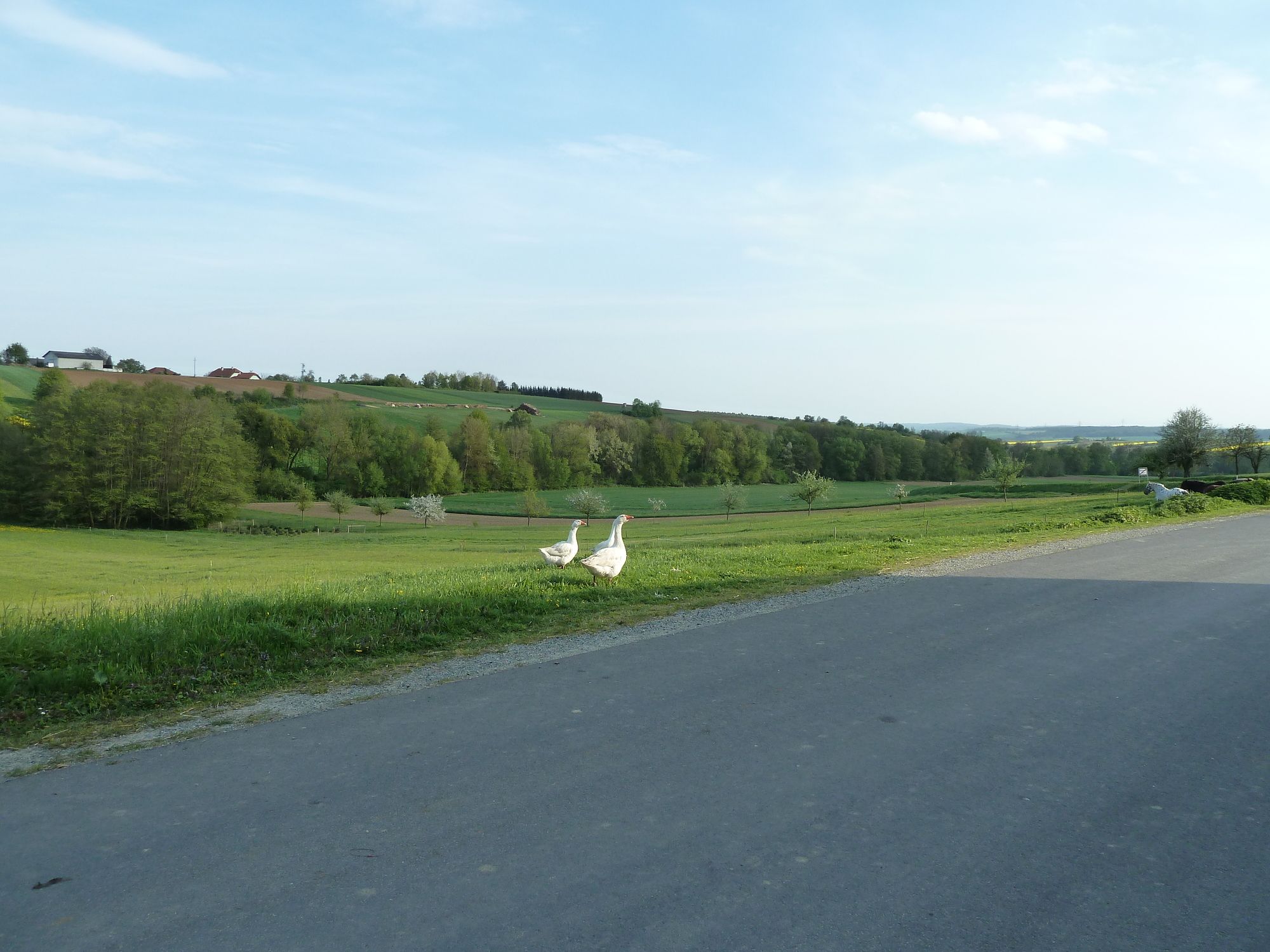
Schöner Radweg mit herrlichen Aussichten
- Difficulty
-
difficult
- Rating
-
- Starting point
-
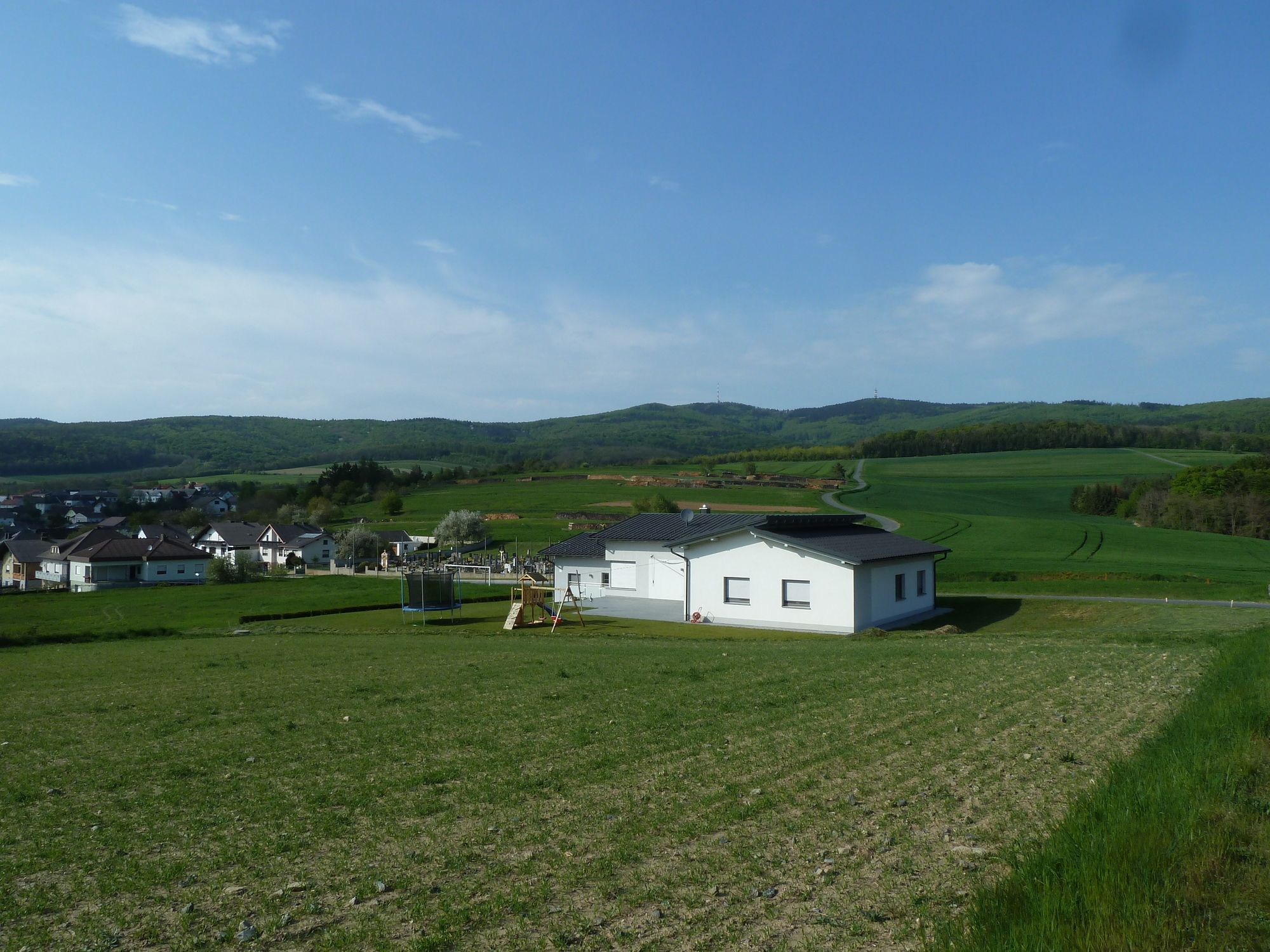
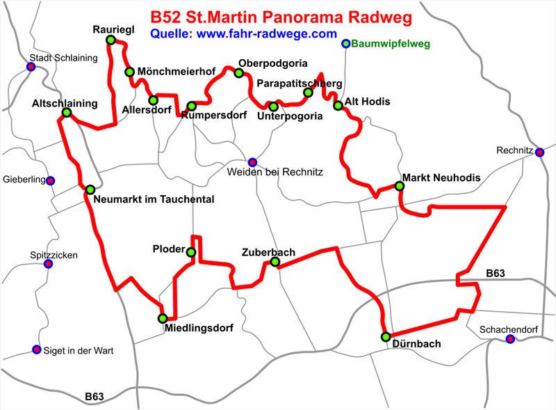
Neumarkt im Tauchental Hauptstrasse
- Route
-
Neumarkt im TauchentalMiedlingsdorf4.2 kmPodler6.3 kmFilialkirche hl. Antonius6.4 kmGasthof Schitter6.6 kmZuberbach10.2 kmDürnbach im Burgenland14.4 kmGasthaus Glavanics23.5 kmMarkt Neuhodis23.5 kmFilialkirche Zur Kreuzauffindung27.4 kmAlthodis27.4 kmParapatitschberg29.2 kmUnterpodgoria30.0 kmOberpodgoria31.4 kmKirche Podgoria31.5 kmRumpersdorf33.4 kmBuschenschank Urbauer33.5 kmFilialkirche hll. Petrus und Paulus33.5 kmAllersgraben35.2 kmMönchmeierhof36.3 kmFilialkapelle Mariae Namen36.5 kmRauhriegel37.7 kmAltschlaining41.2 kmNeumarkt im Tauchental43.0 km
- Best season
-
JanFebMarAprMayJunJulAugSepOctNovDec
- Highest point
- 484 m
- Endpoint
-
Neumarkt im Tauchental
- Ticket material

- Info phone
-
06648499266
- Link
- http://www.stellplatz-stellplaetze.com
- Source
- Alfredo
GPS Downloads


Surfaces
Asphalt
Gravel
Forest
Mountain paths
Single trails
Trial
Traffic
Other tours in the regions
-
Wiener Alpen
224
-
Südburgenland
127
-
Weiden bei Rechnitz
20