
© www.fahr-radwege.com
© www.fahr-radwege.com
© www.fahr-radwege.com

© www.fahr-radwege.com
Tour data
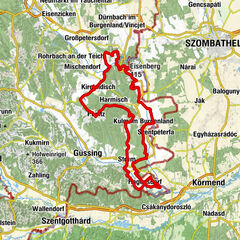
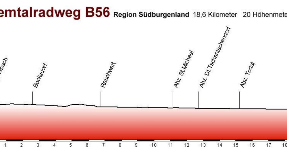
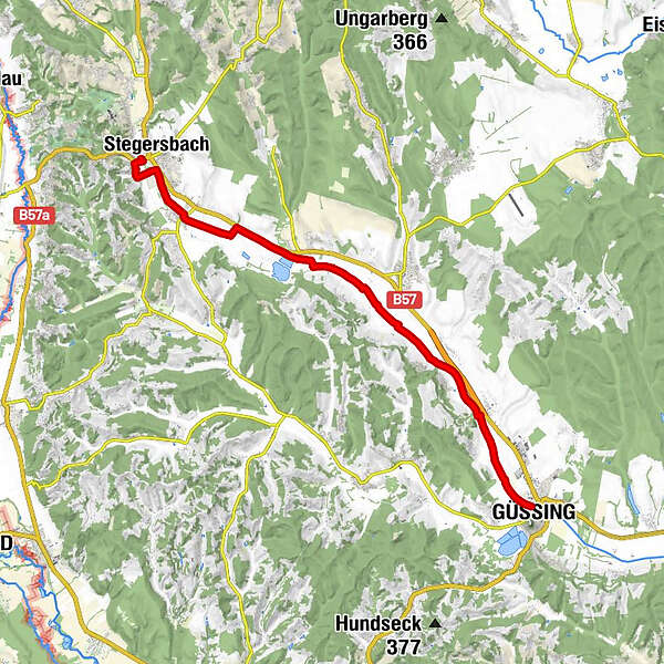
18.82km
215
- 257m
7hm
13hm
01:30h
- Difficulty
-
easy
- Rating
-
- Starting point
-
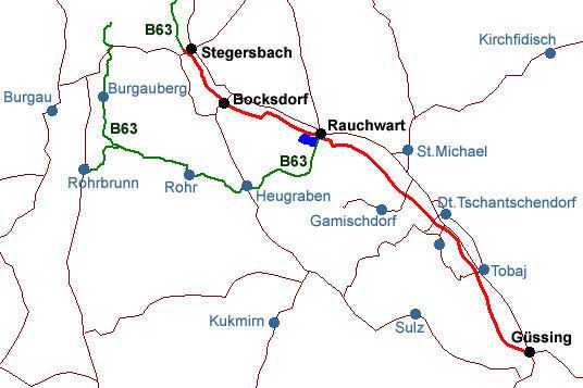
Stegersbach
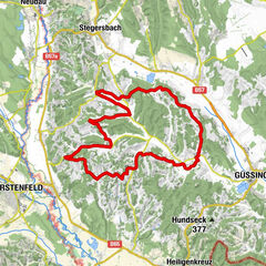
- Route
-
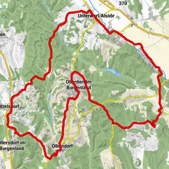
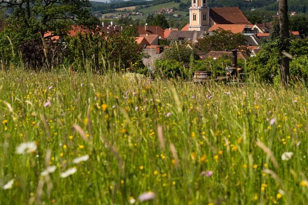
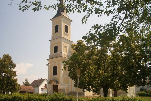
Güssing (229 m)Tobaj3.2 kmRauchwart im Burgenland11.1 kmBocksdorf14.9 kmStegersbach16.8 km
- Best season
-
JanFebMarAprMayJunJulAugSepOctNovDec
- Highest point
- 257 m
- Endpoint
-
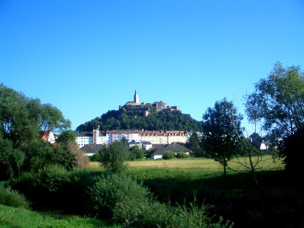
Güssing
- Ticket material

- Source
- Alfredo
GPS Downloads


Surfaces
Asphalt
Gravel
Forest
Mountain paths
Single trails
Trial
Traffic
Other tours in the regions
-
Thermen- & Vulkanland
344
-
Südburgenland
127
-
Rauchwart
28