- Brief description
-
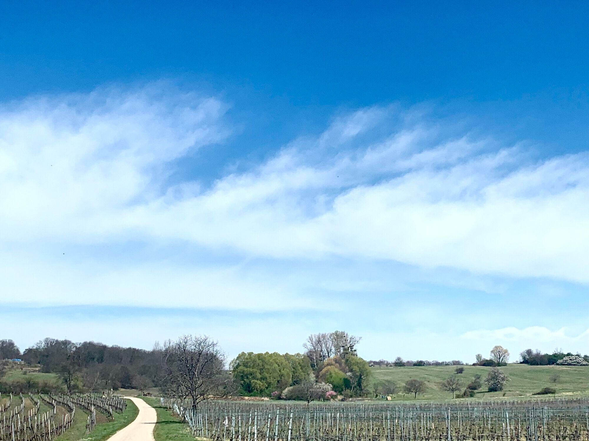
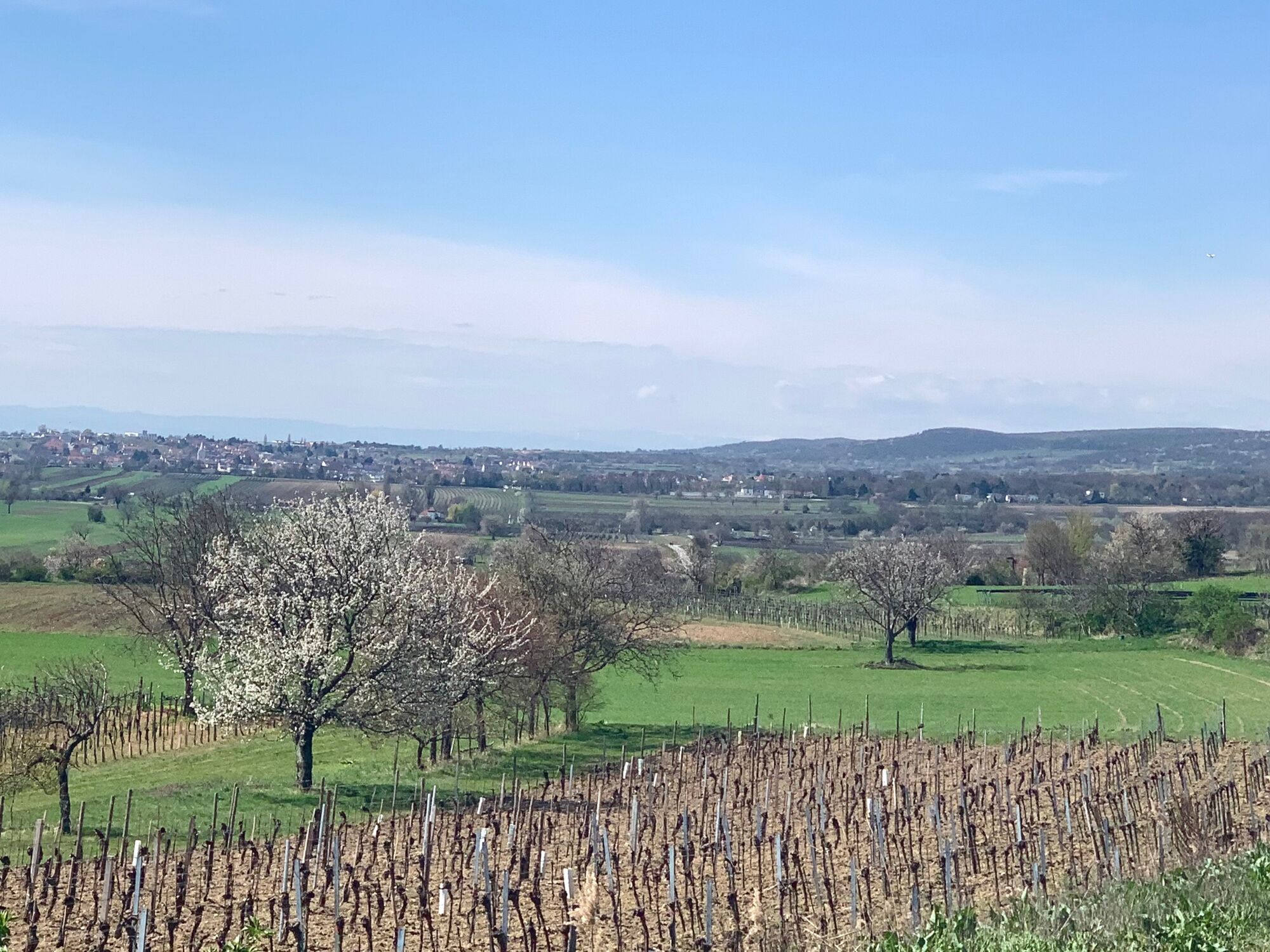
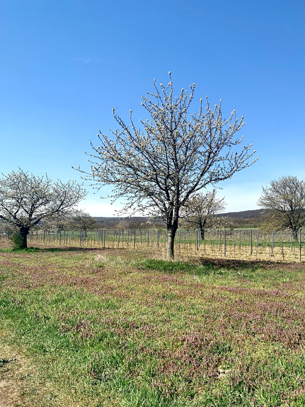
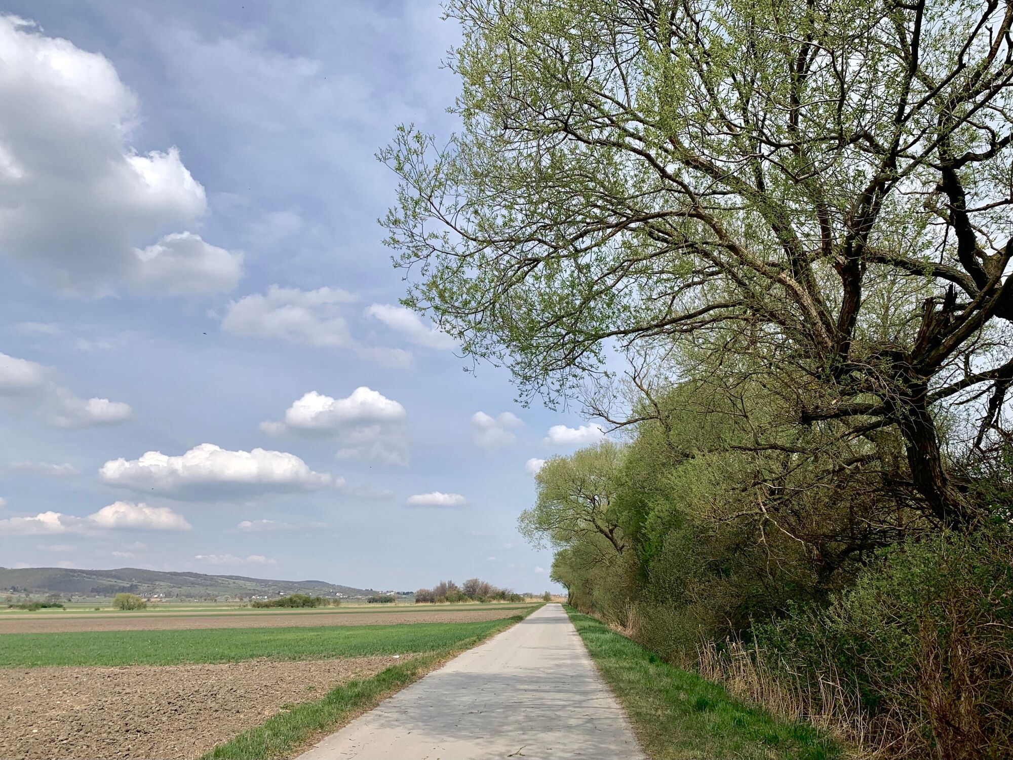
In April to the cherry blossom in the Unesco world heritage site Fertö-Neusiedler See. At the foot of the Leithagebiges you drive on farm roads through the vineyards, in which cherry trees are also grown.
- Difficulty
-
medium
- Rating
-
- Starting point
-
Jois, end of Untere beginning of Obere Hauptstraße, at the intersection with Josef-Haydn-Gasse
- Route
-
Jois0.4 kmHubertuskapelle3.3 kmBreitenbrunn (136 m)9.3 kmAnnakapelle15.0 kmPurbach am Neusiedler See (128 m)15.5 kmHl. Johannes Nepomuk20.6 kmDonnerskirchen (193 m)20.6 kmPestkapelle21.5 kmPurbach am Neusiedlersee32.2 kmPurbach am Neusiedler See (128 m)34.2 kmPfarrkirche hl. Florian40.3 kmWinden am See40.3 kmBacchuskeller40.5 kmZum Weitzer40.5 kmHexenbründl41.5 kmHerz-Jesu-Kirche43.3 kmJois43.5 km
- Best season
-
JanFebMarAprMayJunJulAugSepOctNovDec
- Description
-
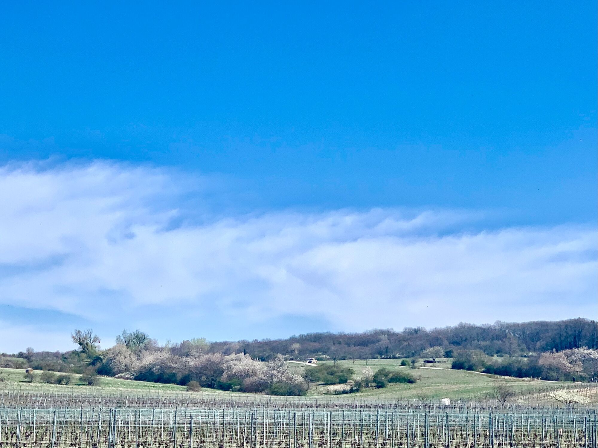
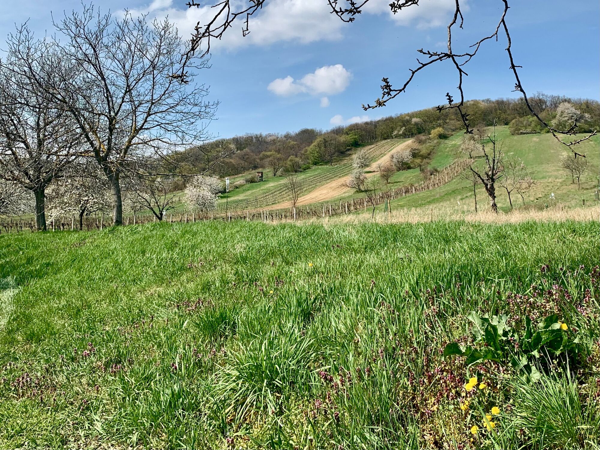
The view of blossoming cherry trees attracts people to walk and cycle in the nature park Neusiedler See Leithagebirge. The Leithagebirge is a branch of the Alps on the edge of the Vienna Basin to the Little Hungarian Plain. The south-eastern slopes drop gently towards Lake Neusiedl.
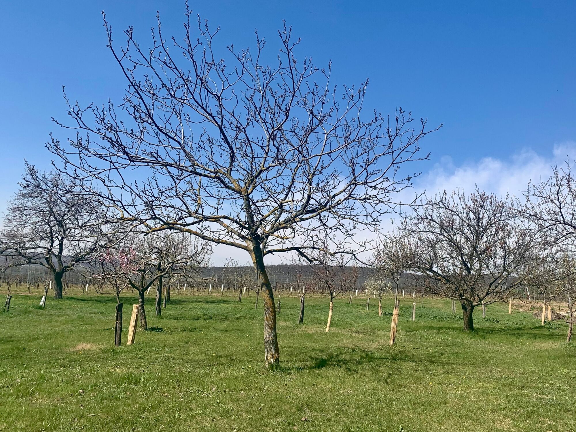
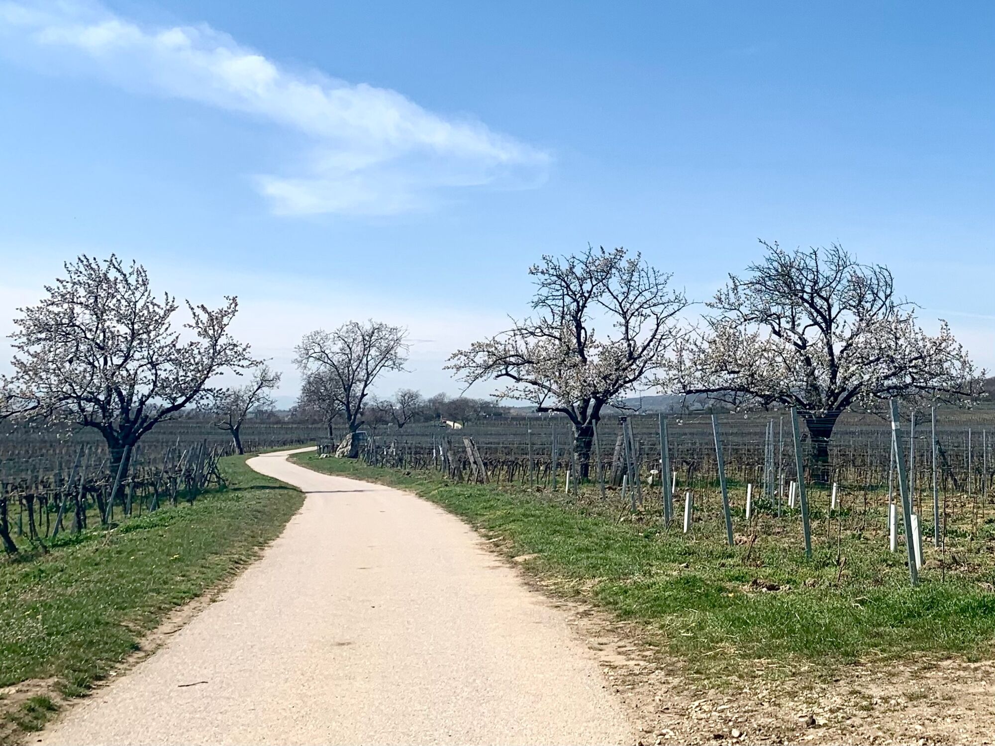
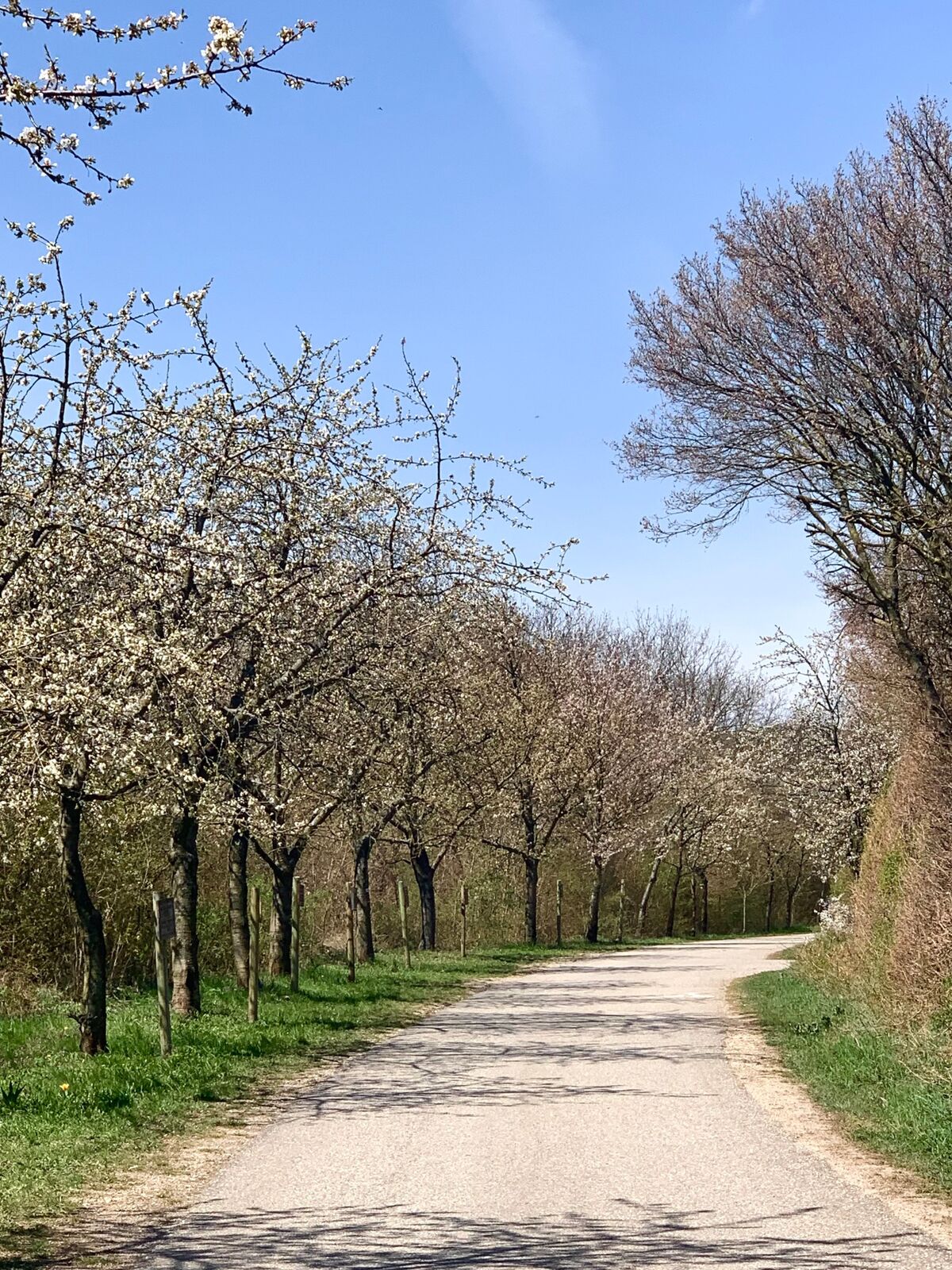
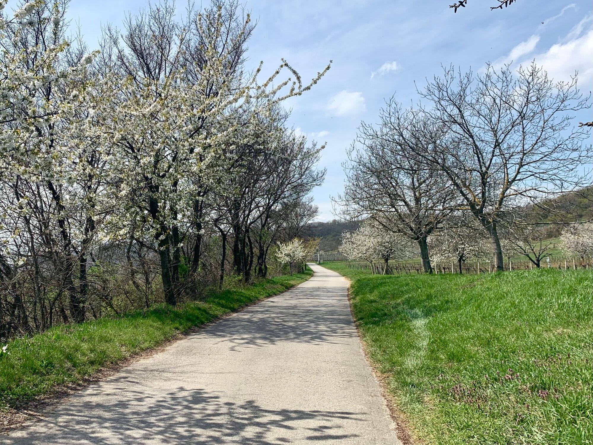
The cherry blossom cycle path runs through the vineyards on the slopes of the Leitha Mountains, which are part of the Leithaberg wine-growing region. The cherry likes it like the wine, sunny and warm. The cultivation of cherries in the Leithaberg region in the vineyards between the rows of vines began in the 18th century by order of Maria Theresa. The women of the Burgenland winegrowers selling the cherries on the Viennese markets brought the families an additional income.
The Leithaberger Edelkirsche was added to the register of Austrian culinary heritage with number 78. The warm winds from Lake Neusiedl and the coolness that descends at night from the Leithagebirge allow the blossoms to ripen into delicious cherries until June. 1,000 cherry trees were planted on public land for hikers and cyclists. You are invited to pick some fruit yourself to taste.
- Directions
-
The cherry blossom cycle path B12 begins in Jois at the corner of Obere Hauptstrasse and Joseph-Haydn-Gasse. This latter one also drives uphill in a northerly direction until one comes to the federal highway B50, which one crosses in the direction of travel to the north. The starting point of the cycle path in the center of Jois is the intersection of three cycle paths. In addition to the cherry blossom cycle path B12, the Neusiedler cycle path B10 and the cycle path R1, the so-called anniversary cycle path, also pass through this intersection. The Jubilee Cycle Path is an approximately 310 kilometers long, continuous north-south cycle path in Burgenland from Kittsee to Kalch, which was opened in 2001 on the occasion of the 80th anniversary of Burgenland.
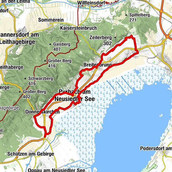
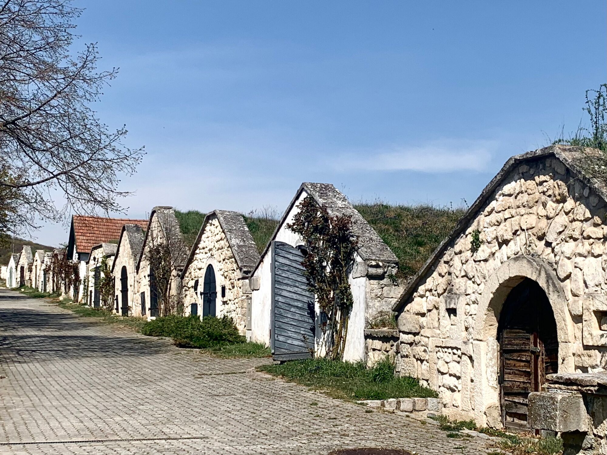
After crossing the B50, we continue our tour in a northerly direction on the Jois-Trift supply road on Gritschenberg. We drive through vineyards and as soon as we leave the built-up area we come across the first isolated cherry trees. As far as the Hubertus Chapel, the cherry blossom cycle path runs on the same route as the wine trail, which provides ten stations with an insight into the history and tradition of viticulture on the slopes of the Joiser vineyards.
In the area of the Hubertus chapel, we have reached the second highest point of the tour at around 200 m above sea level. From here you can see over the Tannenberg and Hackelsberg between Jois and Winden onto Lake Neusiedl while cycling on a short downward section of the path that runs south-east. Tannenberg and Hackelsberg are popular with hikers because of their flowers that bloom in spring, such as Adonis, grape hyacinth and mourning night viole.
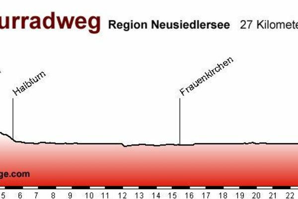
We continue in a south-westerly direction past the open-air museum of the Austrian sculptor Wander Bertoni on the western outskirts of Winden to Breitenbrunn, which you leave behind on the Kellergasse in a northerly direction. Now comes the highlight of the cherry blossom cycle path. This is the cherry blossom lane, an avenue of cherry trees, on which you approach the Thenau-Riegel nature reserve and which you also go around to the northwest. There are also strollers on this section to see the cherry trees in bloom. It should also be noted that there are also cars here. The cycle path around the Thenau-Riegel also leads over the highest point of the cherry blossom cycle path with 216 m. In comparison, it should be mentioned that the elevation of Lake Neusiedl is 115 m, i.e. about 100 m lower.
It now goes downhill again to Purbach, which you leave again uphill through the historic Kellergasse and Fellnergasse. At the cloister gate, turn right into the Purbach-Spitzkreuz supply route, which you follow in a slightly south-westerly direction until you approach the village of Donnerskirchen on the Donnerskirchen-Weingartenweg supply route in the Goldberg vineyard area. There are once again plenty of cherry trees along the way, which cyclists and hikers can also taste in June. The Martinskirche, the parish church of Donnerskirchen, a little higher up, attracts our eyes from a distance. We leave the place by driving a short distance on the B15, which circles the Mahdberg on its way to Mannersdorf. The Mahdberg is remarkable in that it is the place where there are 5 burial mounds from the Hallstatt period. The continuation of the B15 in a westerly direction is called Badstrasse. We follow it and turn left into the Weinstrasse, which we follow in a southerly direction to the B50. Here, too, there are also other motor vehicles driving on that public road. When we meet the B50, we follow the cherry blossom cycle path, which runs on a separate route, a little further south to a traffic light-controlled transition.
On the other side of the B50 it goes on the anniversary cycle path R1, whose course in this section is identical to that of the Neusiedler See cycle path B10, back to the starting point in Jois. The route is mostly exposed, flat along the tracks of the Pannonia Railway, more or less close to the reed belt of the Neusiedler See. You pass the villages of Purbach and Winden in the area of their foothills near the lake, in the course of which you pass the baroque parish church in Winden, which is consecrated to St. Florian. The last part before Jois runs at the foot of Hackelsberg and Tannenberg on Auflangenweg, which leads to the main square, from which it continues in the direction of travel on Untere Hauptstraße to its end, at the intersection with Joseph-Haydn-Gasse, the starting point of the Cherry blossom cycle path, where the Obere Hauptstraße begins.
- Highest point
- 219 m
- Endpoint
-
Jois, end of Untere beginning of Obere Hauptstraße, at the intersection with Josef-Haydn-Gasse
- Height profile
-

- Equipment
-
In spring, when the cherry trees are in bloom, it is still fresh in the morning. However, during the day in the sun it can get pretty warm. Since it can also be windy and rain in between, it is advisable to put on several layers on top of each other so that you can easily take one off when it gets too warm. In shady sections, it is sometimes still cold, so you need the layer you took off earlier.
- Safety instructions
-
In sections of the route, there are also strollers on the way. It is therefore advisable to drive slowly in the vicinity of pedestrians. One encounters tractors on the goods roads. There are also sections that run on regular roads. Here it is important to pay attention to motor vehicles and to think along for drivers.
- Tips
-
Drive back the same way that you took from Jois to Donnerskirchen. That is nicer than on the Neusiedler Lake cycle path. You can stay in the mood of this nature experience. The Neusiedler Lake cycle path, on the other hand, repeatedly touches suburban residential areas. This allows corresponding associations and moods to arise.
- Additional information
-
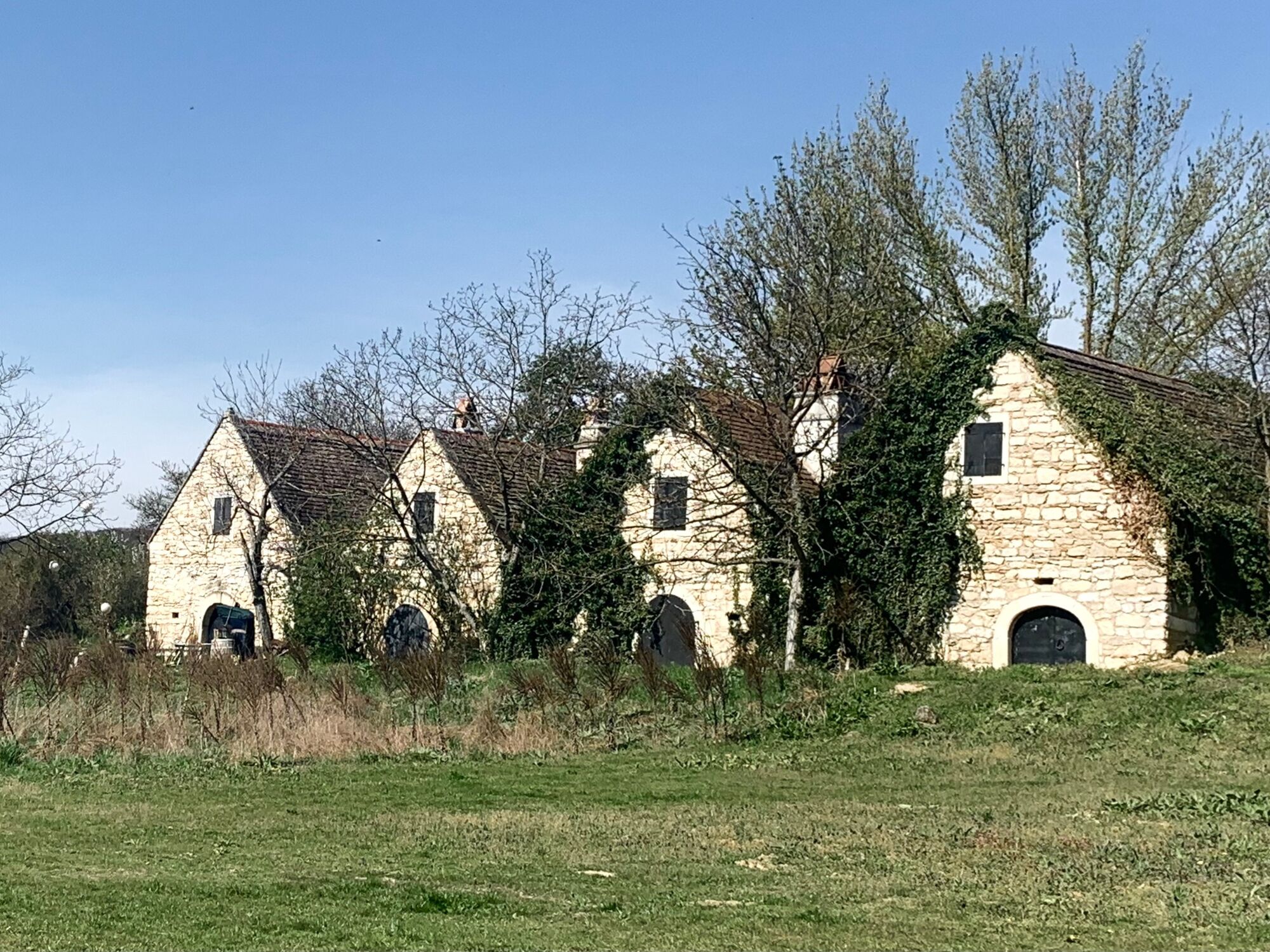
The cherry blossom cycle path is a nice route to ride even after the cherry blossom season. The attractiveness is partly due to the numerous cultural highlights along the bike path. These include: The museum in Jois with its archaeological finds from the Stone Age to the Wine Age. To enter the museum, you can register in advance by telephone with Mr. Ing. Babec at +43 688/8195158 or Mr. Tötschinger at +43 676/357 02 59. It costs € 3.50 for adults and € 2.50 for students, soldiers, disabled people, senior citizens and children.
The Leithagebirge nature park community in Breitenbrunn has a 32 m high defense tower in which there is a museum with the skeleton of the Winden cave bear. The opening times are: May 30th to September 30th daily, except Monday from 9:30 am to 12:00 pm and 1:00 pm to 5:00 pm and October 1 to October 31st daily, except Monday from 9:30 am to 12:00 pm and 1:00 pm to 4:00 pm.
The dry grasslands, which are under nature protection, are also special for the area. Extensive dry grasslands formed a wide, open steppe landscape in many places in the Pannonian region before they were converted into intensively used arable land. Since the former steppe landscape is also part of the identity of Eastern Austria and a unique habitat for many plants, some of the remaining islands are protected. In order to prevent the gradual change back into bushes and sparse forests, the Thenau-Riegel is grazed with cattle. It is widely known for its abundance of dwarf iris, which bloom in early April.
As you approach Donnerskirchen, you can see the St. Martin mountain church from afar, a baroque building that stands elevated above the village on the Kichberg. To the south of it, on Martinsberg, there are five Celtic graves from the early Hallstatt culture 800–650 BC. The finds, a magnificent bull's head vessel, moon idols and clay statues can be viewed in the Landesmuseum Burgenland (BLM) in Eisenstadt.
In Winden, the cherry cycle path leads past the open-air museum of the Austrian sculptor Wander Bertoni, who died in 2019 at the age of 94. His most famous sculpture, the 18 m high sun worshiper, which was shown at the 1964 World Exhibition in New York, is on display at Kirchberg in Winden.
- Directions
-
On the A4 motorway in the direction of Budapest to exit no. 43, Neusiedl a. See. From there on the B50 in the direction of Eisenstadt, follow the B 50 to the roundabout at the beginning of Jois. Take the 3rd exit there.
Drive up to the SPAR on Obere Hauptstrasse.
- Public transportation
-
By train, REX 64, 15 minutes past the hour, from Vienna Hbf to Jois Bahnhof in 47 minutes.
Bicycles can be taken along to a limited extent.
- Parking

-
-
AuthorThe tour Cherry Blossom in the World Heritage Lake Neusiedl is used by outdooractive.com provided.