© BurgenlandTourismus - stills&emotions

- Brief description
-
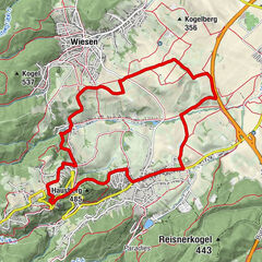
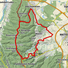
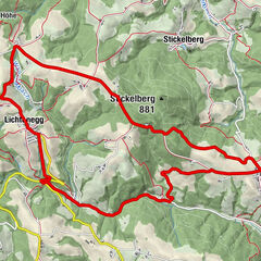
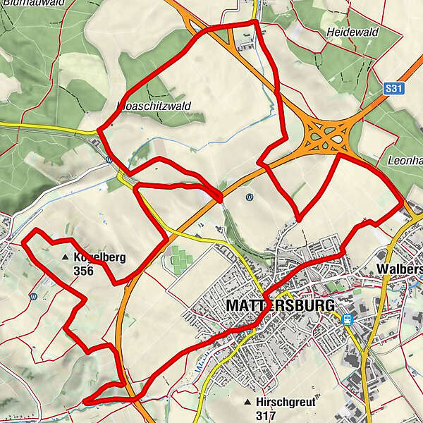
Die Kogelbergstrecke führt durch bunte Felder, vorbei an Weingärten und Streuobstwiesen . Sie führt vom Zentrum in Mattersburg über Walbersdorf, Sigleß, Wiesen und retour nach Mattersburg.
- Difficulty
-
easy
- Rating
-
- Route
-
Florianihof0.0 kmMattersburg (238 m)0.0 kmKriegerkapelle0.1 kmMattersburg (238 m)22.0 kmFlorianihof22.1 km
- Best season
-
JanFebMarAprMayJunJulAugSepOctNovDec
- Highest point
- 334 m
- Endpoint
-
Mattersburg
- Height profile
-

- Author
-
The tour MTB Kogelberg-Strecke is used by outdooractive.com provided.
GPS Downloads


General info
Flora
Other tours in the regions