- Brief description
-
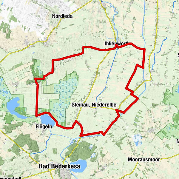
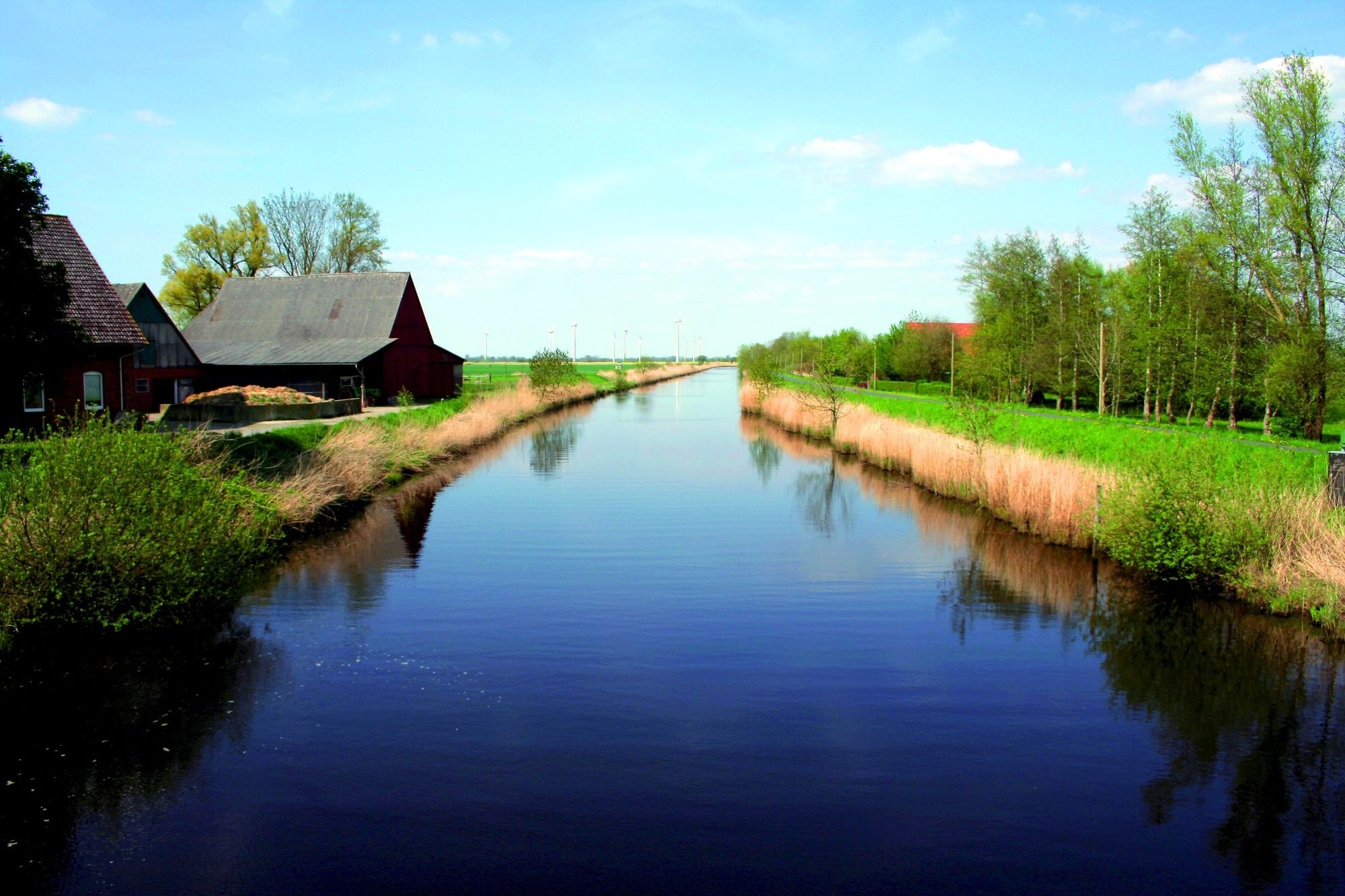
Eingebettet in das Marschland im Herzen des Cuxlandes, zwischen Flussläufen, dem Elbe-Weser-Schifffahrtsweg und kleinen Verbindungskanälen, liegt die Samtgemeinde Sietland. Die 39 km lange Sietland-Route verläuft in einer großen Runde von Ihlienworth über Süderla, den Flögelner See, Steinau und Odisheim wieder zurück nach Ihlienworth.
- Difficulty
-
easy
- Rating
-
- Route
-
IhlienworthKuhlenfelde1.1 kmSiedenteil5.9 kmSüderwesterseite19.5 kmSüderende24.3 kmOdisheim30.7 kmIhlienworth40.1 kmGasthof Katt40.4 km
- Best season
-
JanFebMarAprMayJunJulAugSepOctNovDec
- Highest point
- 14 m
- Endpoint
-
Ihlienworth
- Height profile
-
 © outdooractive.com
- Author
-
The tour Cuxland XII - Die Sietland-Route is used by outdooractive.com provided.
GPS Downloads


General info
Refreshment stop
Cultural/Historical
Other tours in the regions