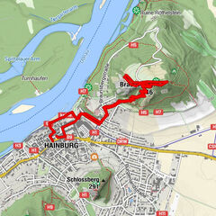
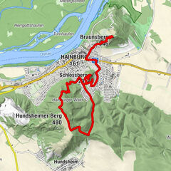
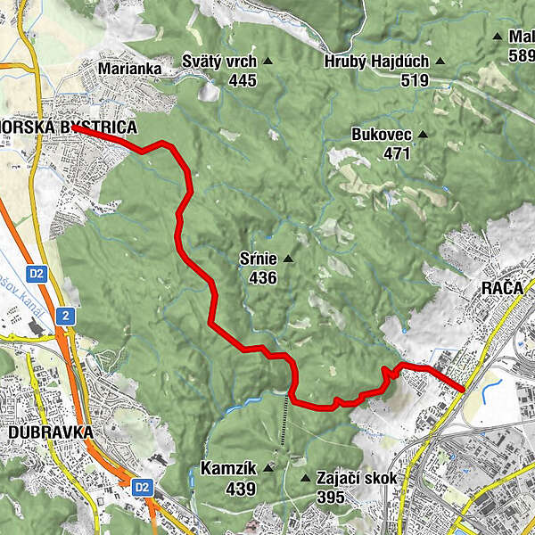
Rača-Sekyl-Z.Bystrica

Logo Rača-Sekyl-Z.Bystrica
Tour data
12.66km
140 - 421m
Distance
386hm
426hm
Ascent
03:45h
 
Duration
Brief description

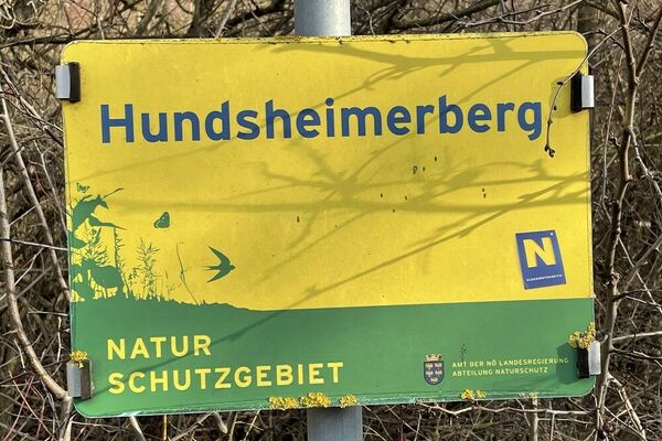
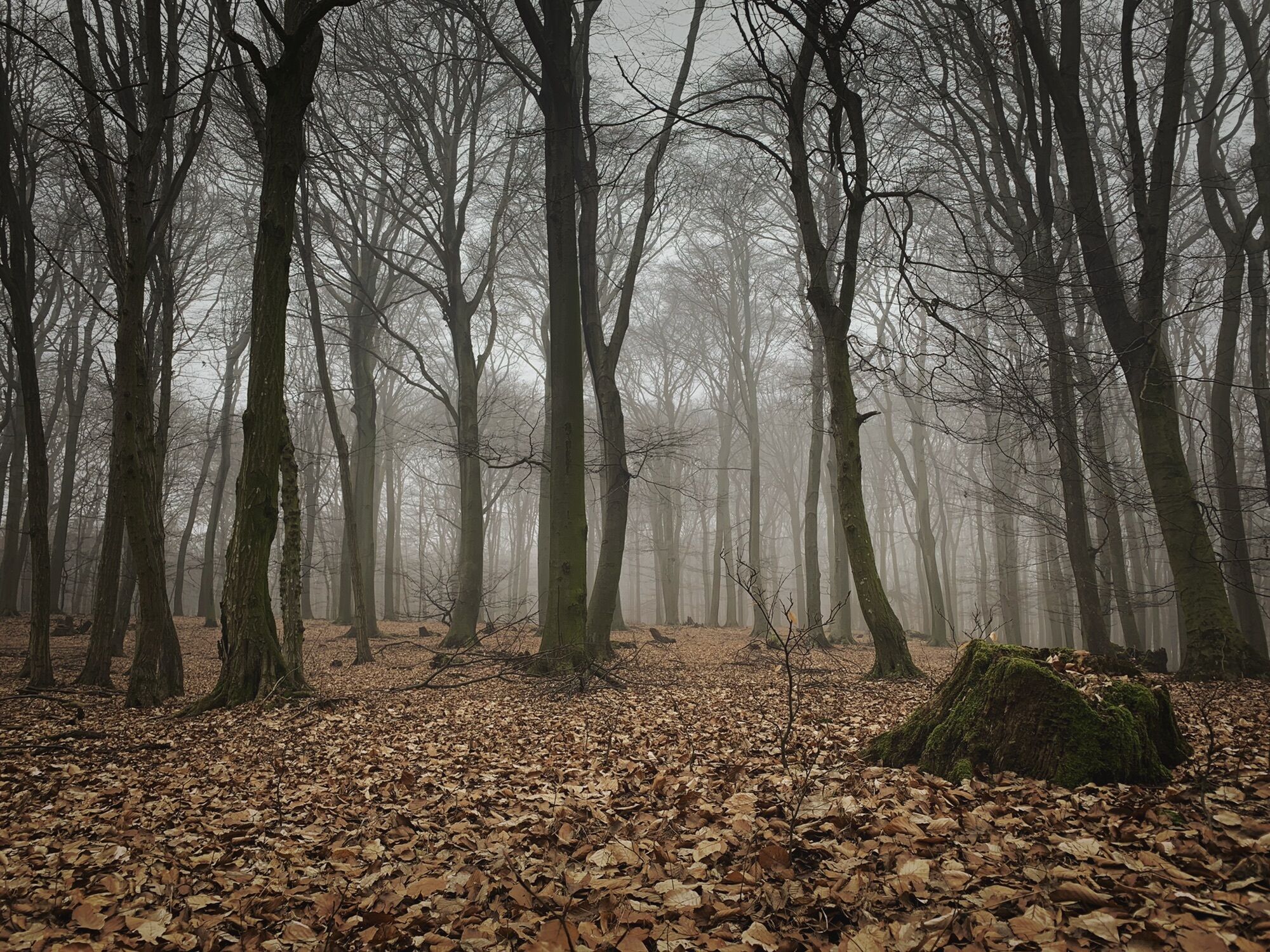
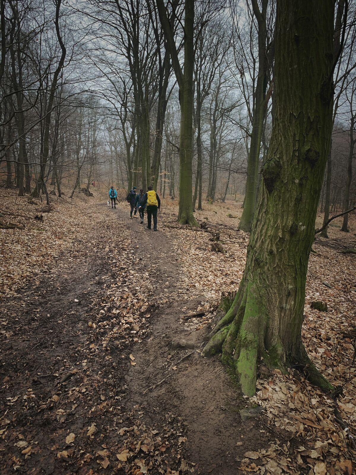
Easy hike in woods, near Bratislava. Access to public transport

Difficulty
easy
Rating
Technique
Fitness
Landscape
Experience
Route
Bisternitz
Kleine Weidritz
4.4 km
Šmachy (359 m)
5.5 km
Jánov prameň
8.5 km
Bratislava
8.9 km
Engerau
8.9 km
Slanec
11.5 km
Ratzersdorf
12.2 km
Krasňany
12.4 km
Neustadt
12.6 km
Rosenheim
12.6 km

Best season
Jan
Feb
Mar
Apr
May
Jun
Jul
Aug
Sep
Oct
Nov
Dec
Highest point
421 m

Overall rating

5

0

%

4

0

%

3

0

%

2

0

%

1

0

%

Error
An error has occurred. Please try again.
Thank you for your review

Rating has been deleted

GPS Downloads
  • GPX GPS Exchange Format (XML)
  • KML Google Earth, Google Maps
QR Download Codes for Mobile Phones
Other tours in the regions

Popular tours in the area

Karpaten: Hainburg - Braunsberg

easy Hiking
5.24km | 208hm | 03:00h

Hundsheimerberg - Angelos Touren

easy Hiking
6.36km | 431hm | 02:38h

VIA.VISTA. - Rundwanderweg Königswarte Berg

easy Hiking
5.97km | 174hm | 02:00h