© Wandermagazin

© Wandermagazin
- Brief description
-
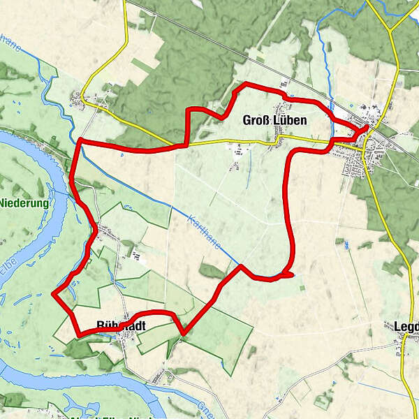
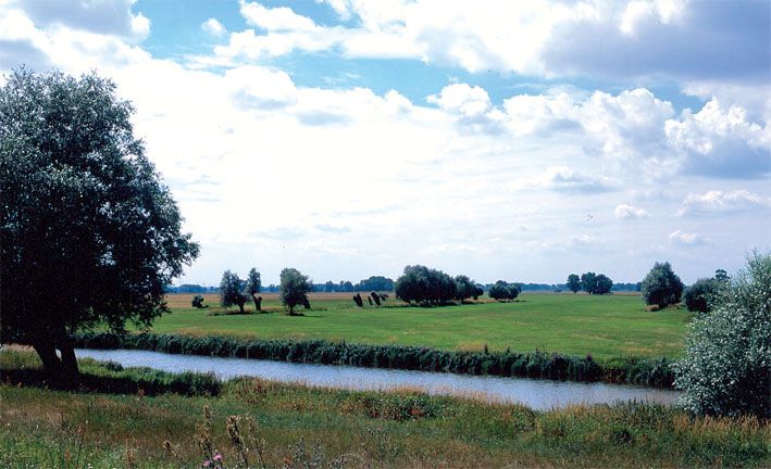
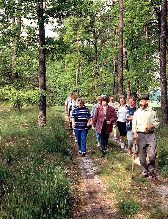
Die Tour führt in das Biosphärenreservat „Flusslandschaft Elbe Brandenburg“.
- Difficulty
-
difficult
- Rating
-
- Route
-
Bad Wilsnack (27 m)0.5 kmRühstädt (22 m)9.6 kmBälow (23 m)13.6 kmSandkrug (22 m)14.9 kmBad Wilsnack (27 m)23.7 km
- Best season
-
JanFebMarAprMayJunJulAugSepOctNovDec
- Highest point
- 27 m
- Endpoint
-
Bahnhof Bad Wilsnack
- Height profile
-
 © outdooractive.com
- Author
-
The tour Der Karthanepfad is used by outdooractive.com provided.
GPS Downloads


General info
Refreshment stop
Flora
A lot of view