
- Brief description
-
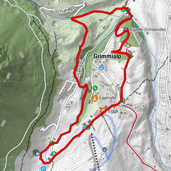
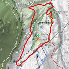
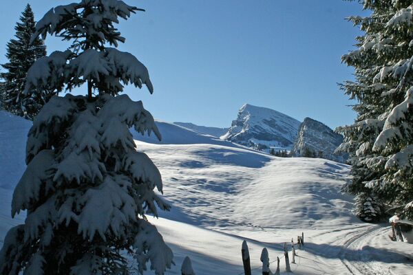
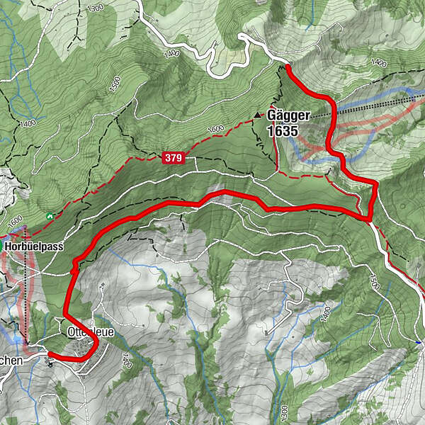
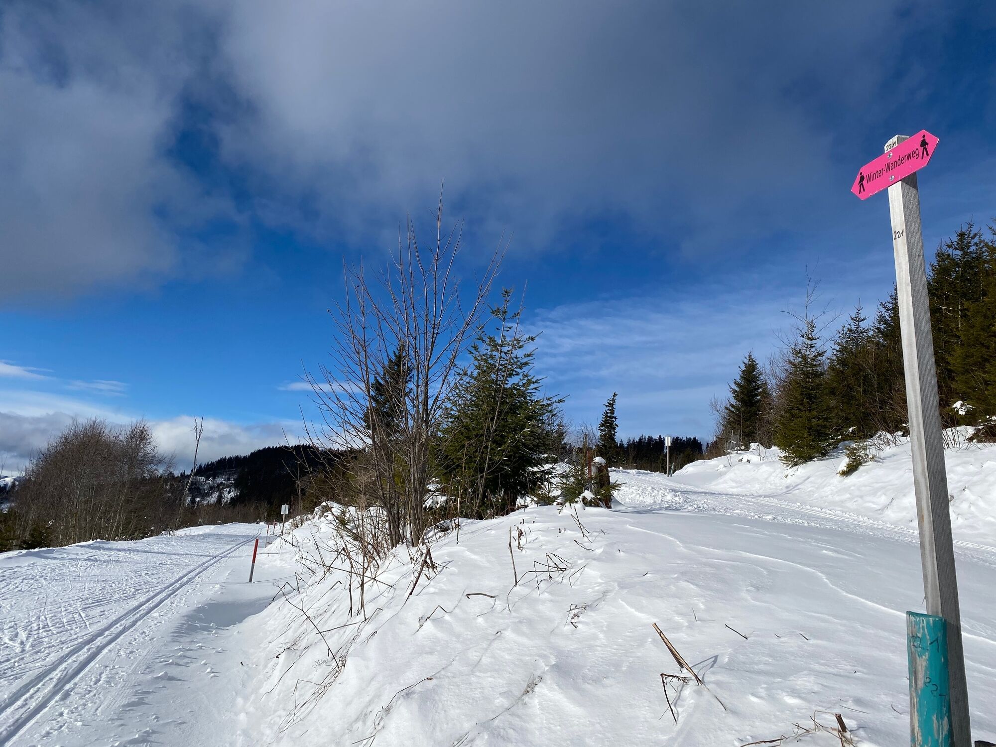
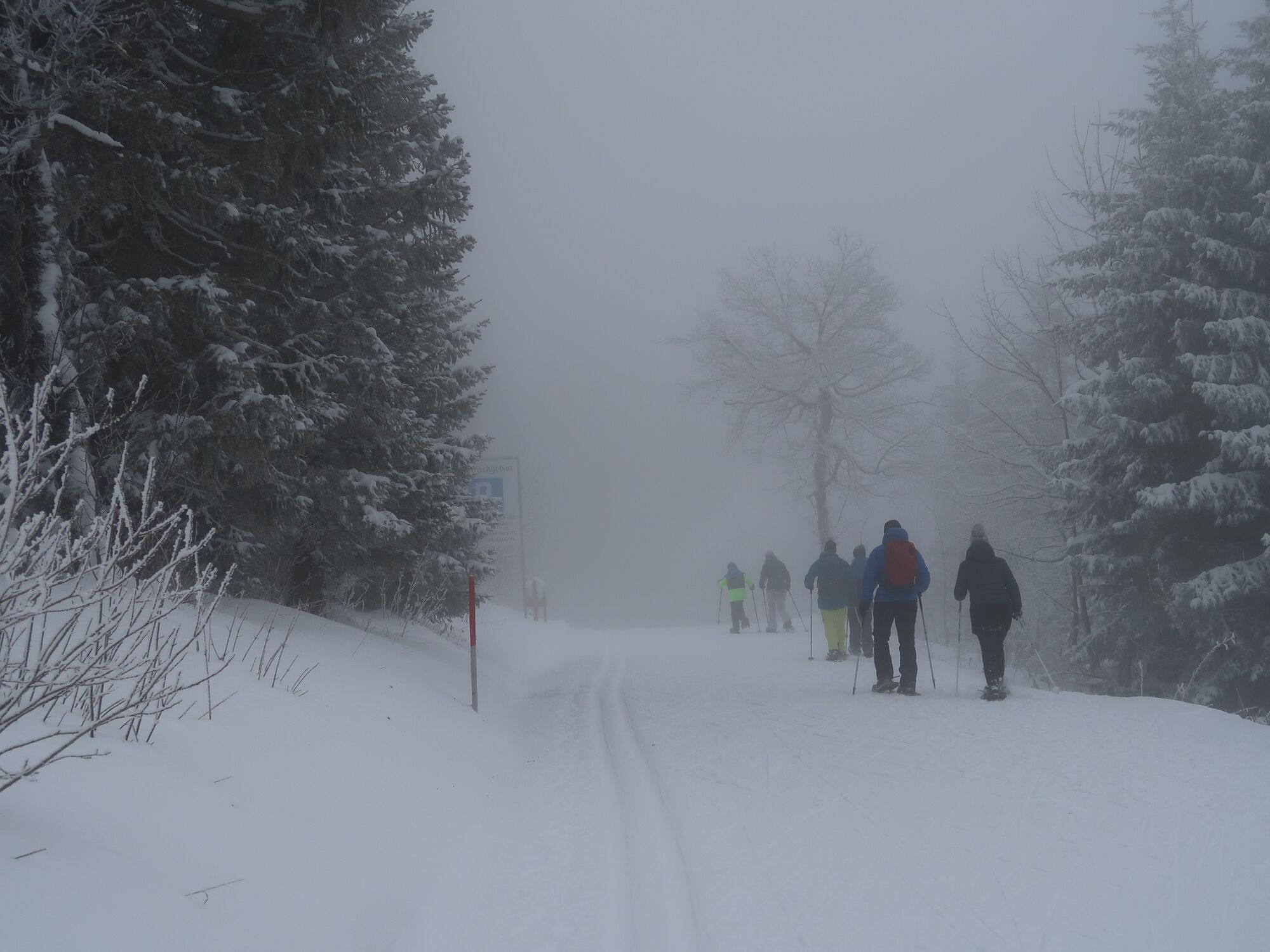
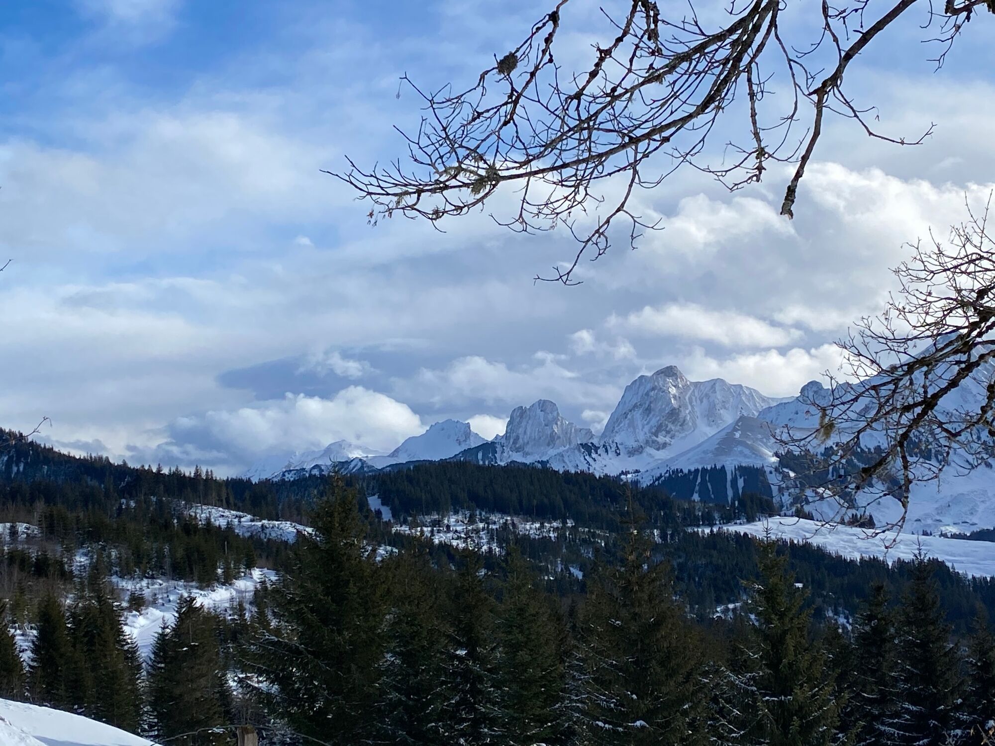
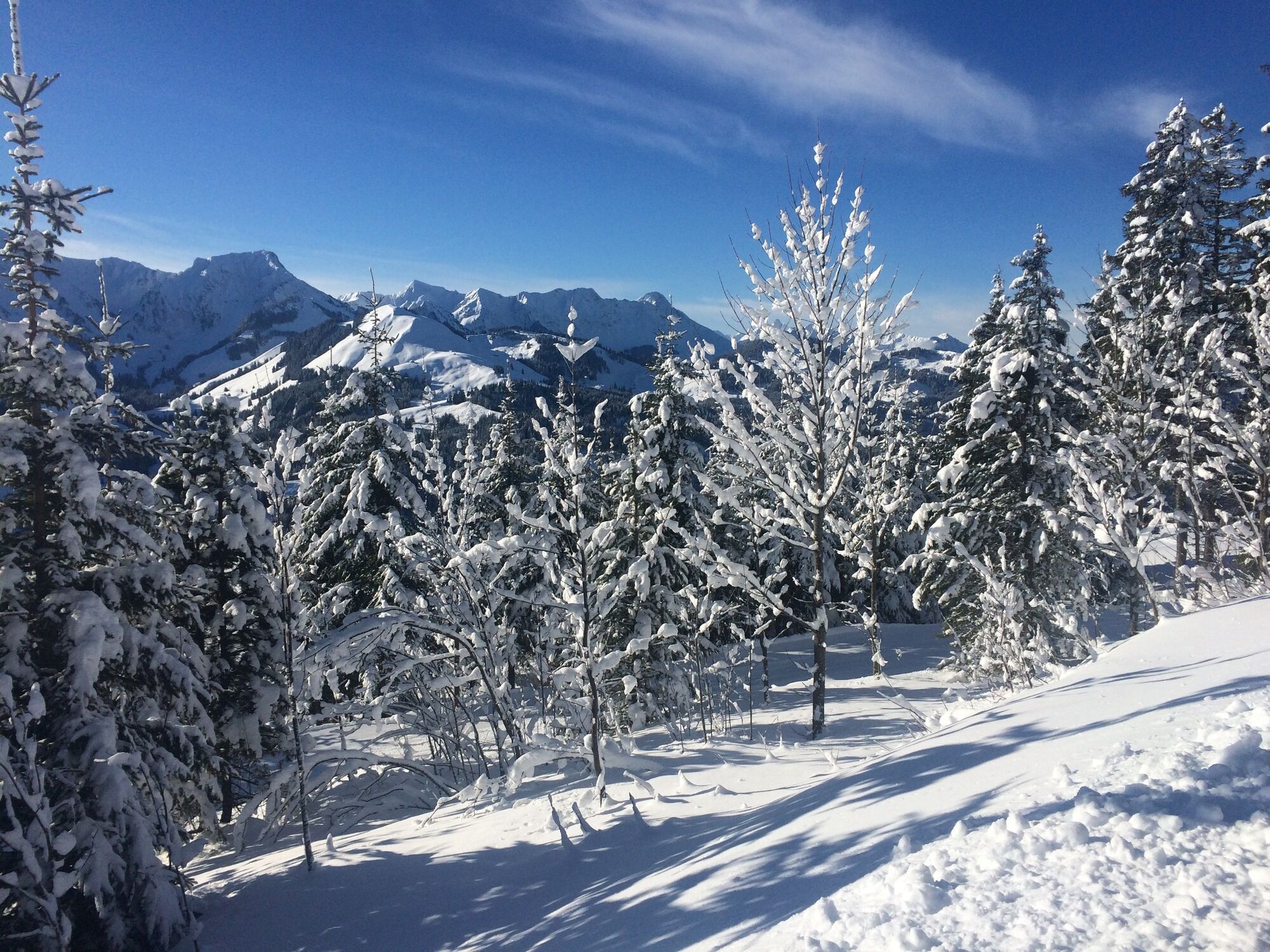
When it's grey below and the sun is shining from the blue sky onto the blanket of snow above, the Gantrisch Nature Park is just right. The trail leads along the cross-country ski trail from Schwarzenbühl to Otteleue. From there, the trail can be followed to Sangernboden, or you can walk back to Schwarzenbühl.
- Difficulty
-
easy
- Rating
-
- Starting point
-
Schwarzenbühl (altitude: 1492 m)
- Route
-
SchwarzenbühlBerggasthof Selital0.5 kmSchanzebeizli0.7 kmOttenleue3.9 kmOttenleuenbad4.2 km
- Best season
-
AugSepOctNovDecJanFebMarAprMayJunJul
- Description
-
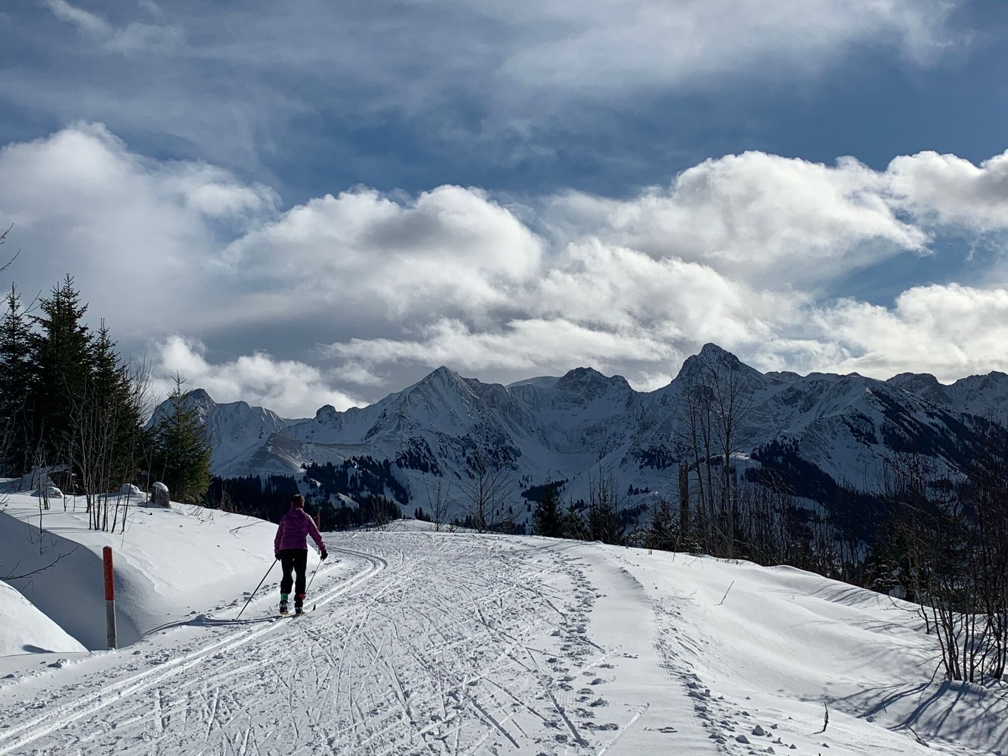
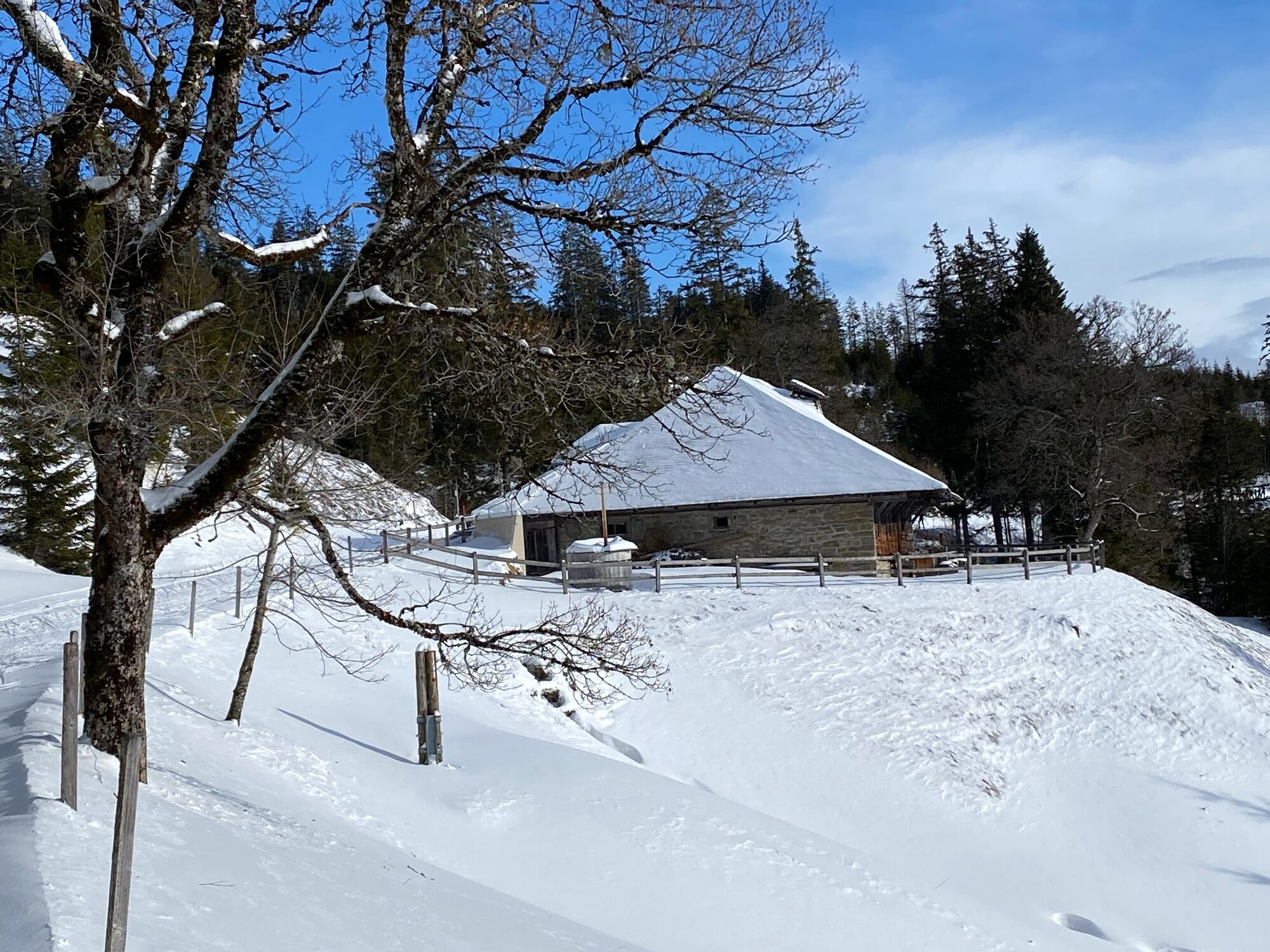
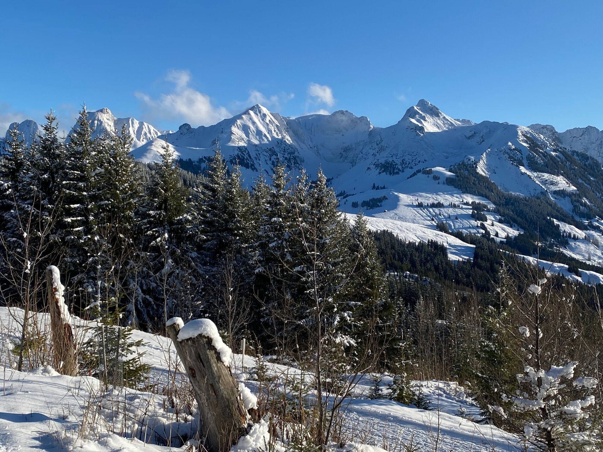
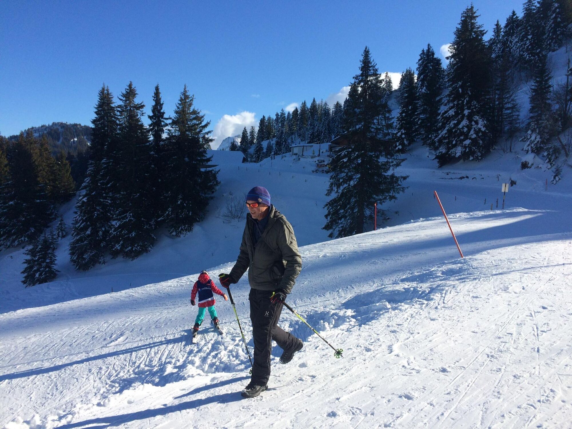
Schwarzenbühl can also be reached by snow bus from Schwarzenburg at weekends and during the school holidays. The path leads along the cross-country ski trail up to the mountain hut. The mountains of the Gantrisch range are now mostly visible to the left of the path. Follow the snow-covered road towards Burst. The cross-country skiers pass by elegantly. Cross-country skiers pay for track maintenance and are dependent on carefully prepared trails. Hikers should be considerate of the cross-country skiers. The Burst hut, artfully covered with shingles, is now privately owned. It used to be rented out by the state as a holiday camp.
You soon reach the single-storey Ottenleuebad holiday settlement. If there is enough snow, there is even a small ski lift in operation. The Eringer Lodge restaurant with its lovely terrace is a good place to take a break. Ottenleue would also be a possible starting point for the winter hiking trail, but is only accessible by private car. At the end of the 19th century, the spa with its iron-rich spring was recommended as a climatic and health resort. The location is still perfect today: sunny, with magnificent views of the Gantrisch range and the Fribourg Alps. Follow the same winter hiking trail along the cross-country ski run to the mountain hut and then back to the Selital.
- Highest point
- 1,545 m
- Endpoint
-
Otteleue (altitude: 1492 m)
- Height profile
-
 © outdooractive.com
 - Equipment
-
Apart from non-slip hiking boots, you don't need any equipment.
- Public transportation
- Parking
- Author
-
The tour Winter hike Schwarzenbühl-Ottenleue is used by outdooractive.com provided.