


- Brief description
-
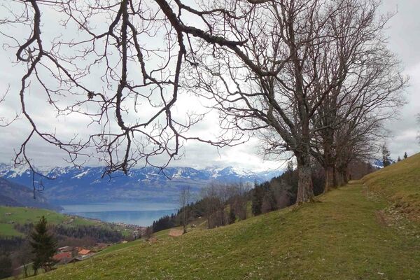
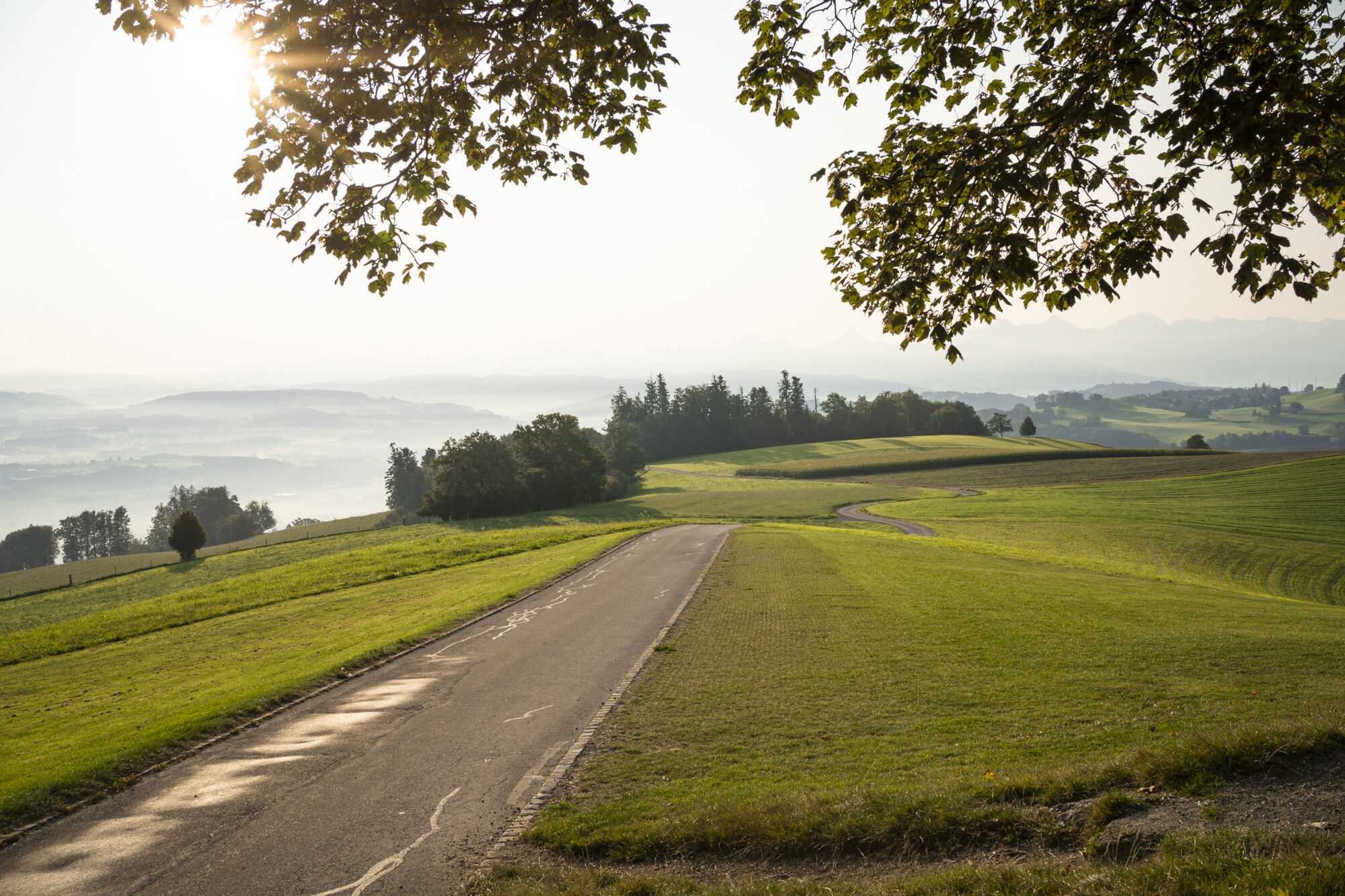
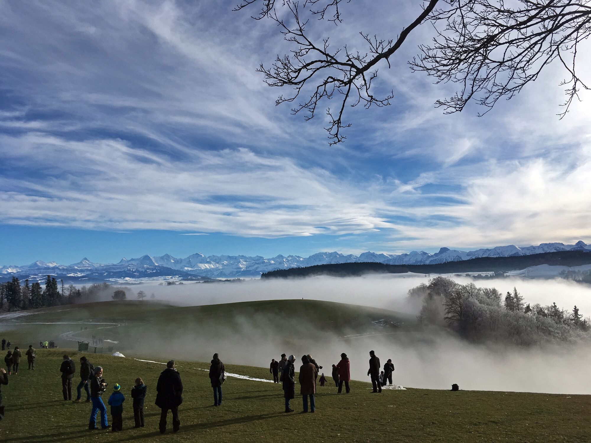
Short and leisurely scenic hike up on Bern’s local mountain, just beyond the city gates. The play area is the perfect place for kids to spend some time. Several sections of the trail are on paved surfaces.
- Difficulty
-
easy
- Rating
-
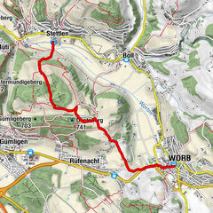
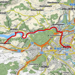
- Route
-
Gurtners0.1 kmTapis Rouge0.1 kmGurten-Kulm0.1 kmBern0.2 kmViewpoint (tower)0.2 kmKöniz (572 m)0.3 kmGurtendorf2.5 kmGurten (858 m)3.8 km
- Best season
-
JanFebMarAprMayJunJulAugSepOctNovDec
- Description
-
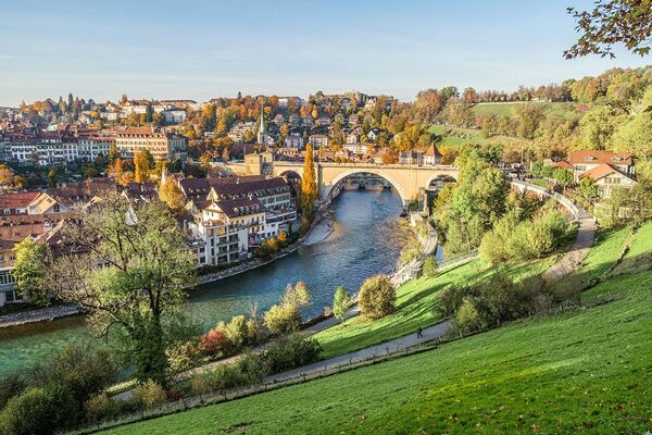
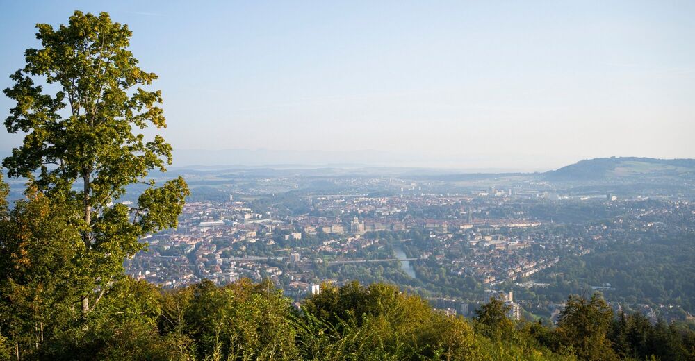
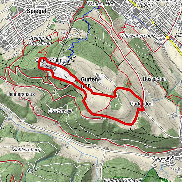
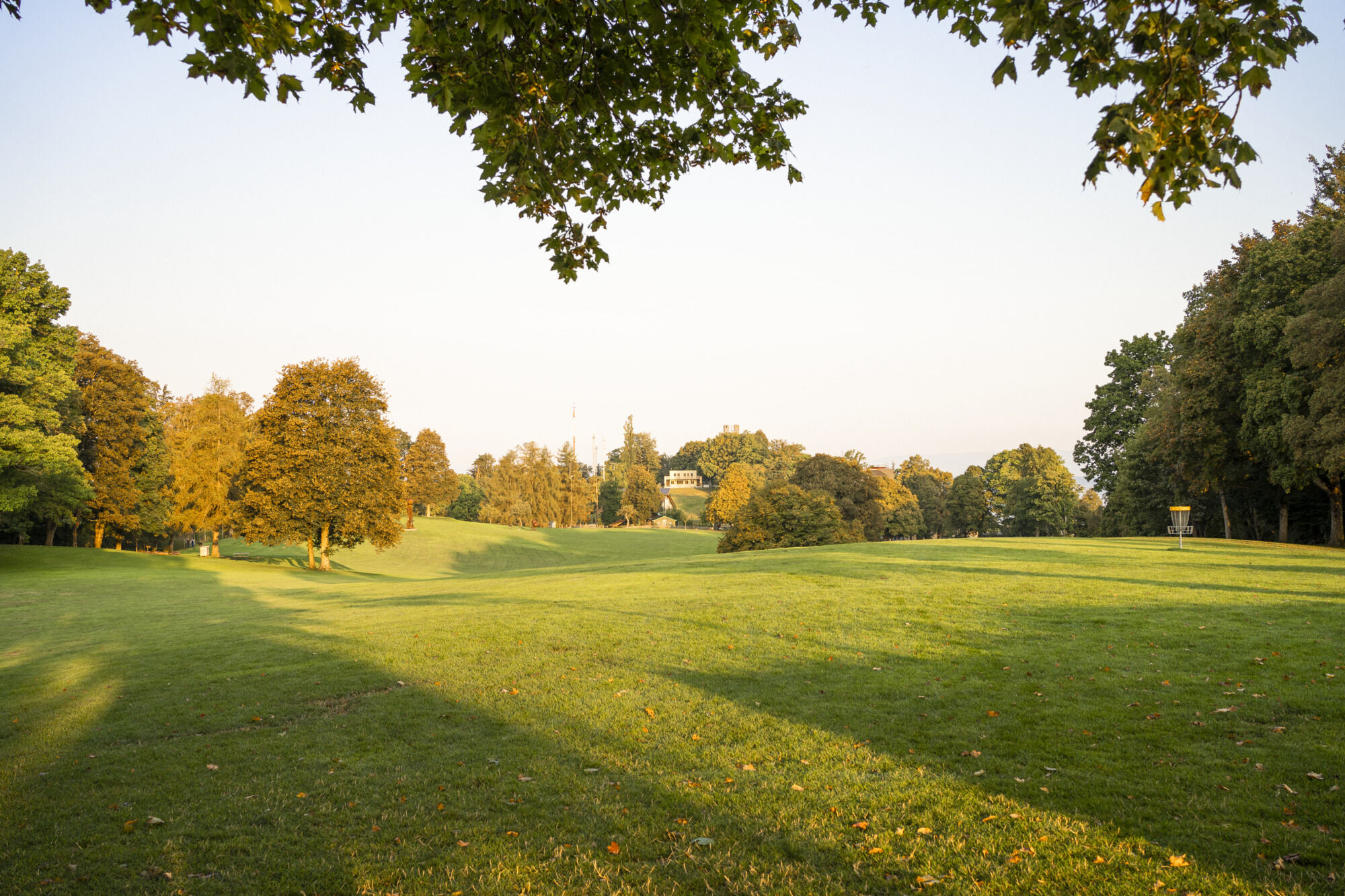
The Gurten is effortlessly accessed thanks to the funicular railway that first went into operation in 1899, once one of the swiftest of its kind. What many hikers don’t know is that the Gurten is located on the municipal territory of Köniz, not on the territory of the city of Bern. There are two signposted circular hiking trails, but this suggestion features a third and somewhat longer option. At the mountain station, we take the route signposted as ‘Kleiner Rundweg’ (short circular route) in the direction Spiegel/Wabern, which takes us around the westerly signposting. We continue along the edge of the forest, past the play area and the easterly signposting. From here we hike along the extended circular trail downhill towards Studholz. Later on we leave the long circular path and follow the signs for Gurtendorf, a hamlet with a particularly attractive and well-preserved architectural ensemble. Next we once again reach the easterly signposting, where there are benches for resting and taking in the panorama from the capital city right across to the Alps. There is now only a short distance left to go from here to the final destination of our hike. Those wishing to reach even higher elevations can climb up the observation tower to be rewarded with panoramic views.
- Highest point
- 856 m
- Endpoint
-
Gurten
- Height profile
-
 © outdooractive.com
 - Public transportation
-
Outward journey: From Bern’s main railway station take S-Bahn line No. 3 or No. 31 to Wabern, tram line No. 9 or bus route No. 29 from Köniz to the Gurtenbahn stop and then the funicular railway up to the Gurten.
Return journey: From Gurten to Wabern and with S-Bahn line No. 3 or 31 or tram line No. 9 from the Gurtenbahn stop to Bern’s main railway station or bus route No. 29 to Köniz.


-

-
AuthorThe tour Up to the Gurten, Bern’s local mountain is used by outdooractive.com provided.
General info
-
Biel Seeland
781
-
Bern - Stadt
482
-
Kehrsatz
158