


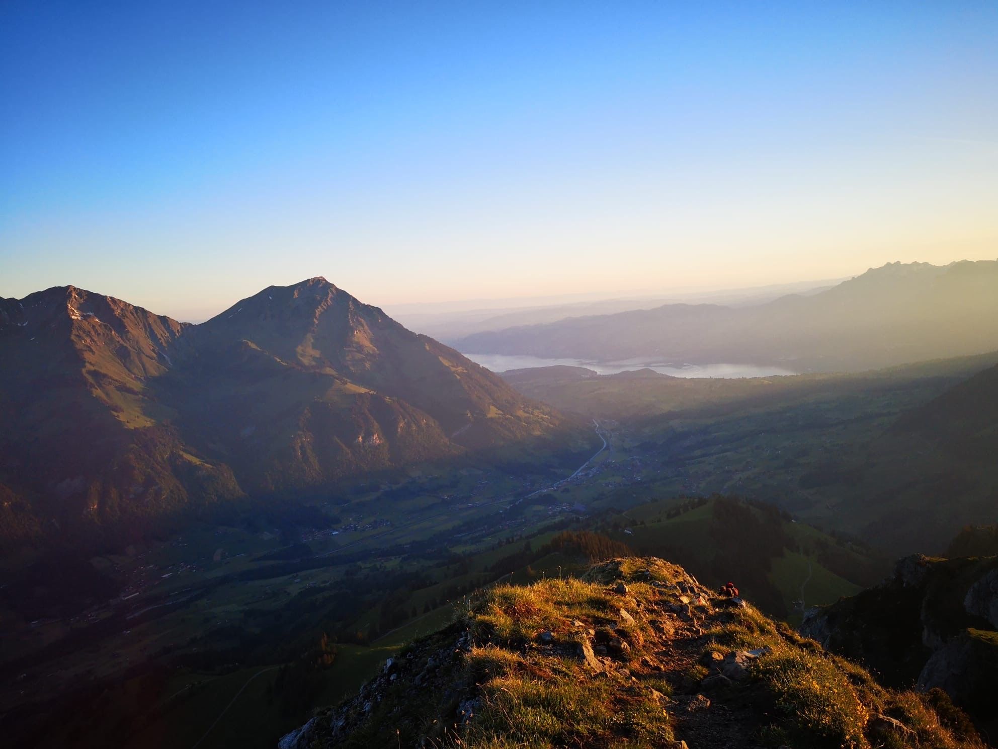
© Tourismus Adelboden-Lenk-Kandersteg - Anja Zurbrügg

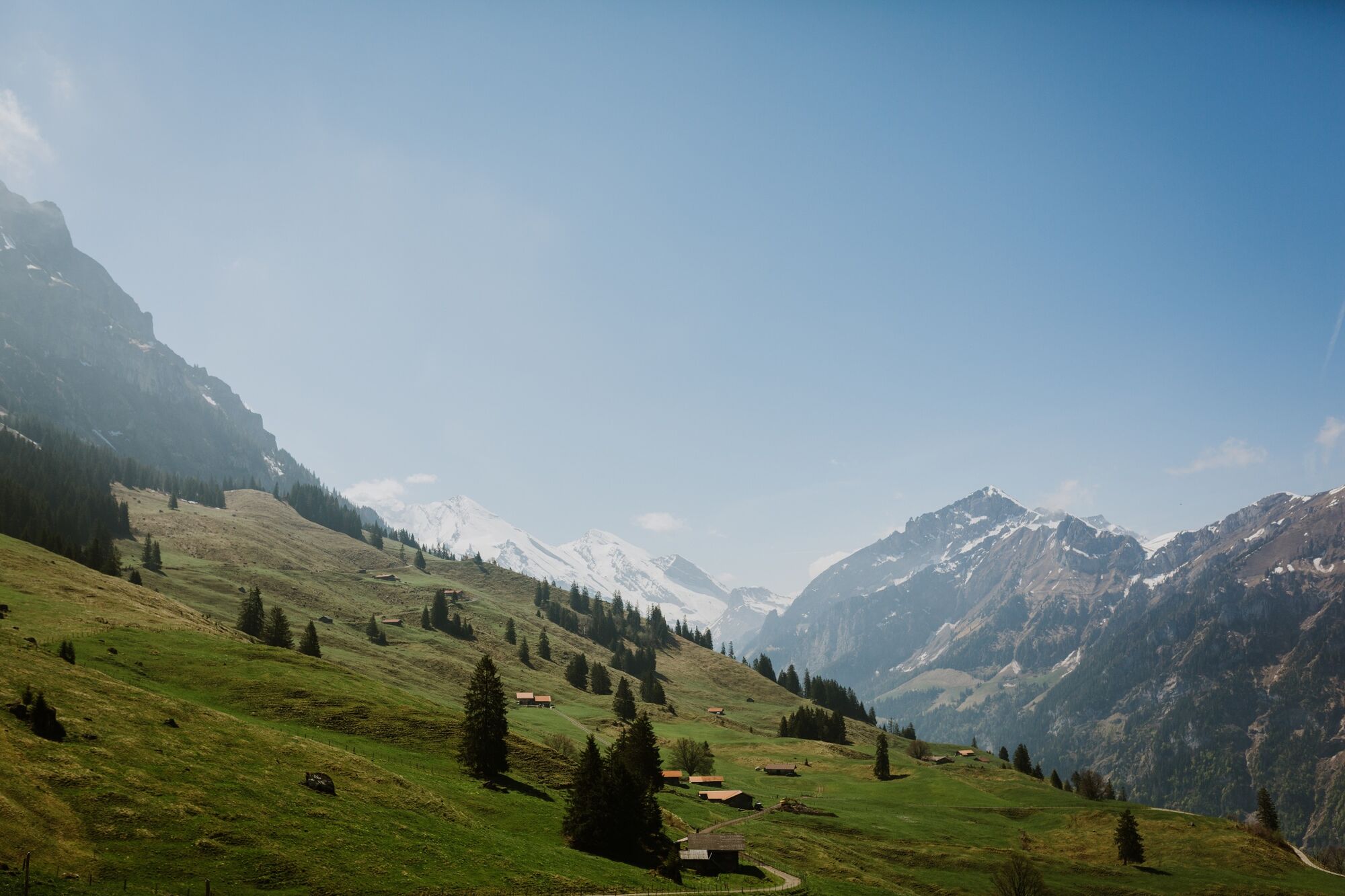
© Tourismus Adelboden-Lenk-Kandersteg - Anja Zurbrügg
- Brief description
-
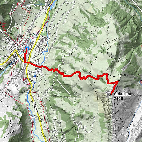
The Gehrihorn lies at the entrance to the Kandertal.
- Difficulty
-
difficult
- Rating
-
- Route
-
Frutigen (779 m)Frutigen (799 m)0.3 kmNeuapostolische Kirche0.4 kmKanderbrück1.1 kmHofuri (1,118 m)2.5 kmGehrihorn (2,130 m)6.6 km
- Best season
-
JanFebMarAprMayJunJulAugSepOctNovDec
- Description
-
Long, steep path from Frutigen to "Ober Geerene". The path to the Gehrihorn is well signposted. You can also drive up to Alp Ober Geerene by car, there is a car park. From the alp, the trail leads over pastures and at the end is a little rough/rocky to the summit. From the summit you can see directly down to Frutigen or Kiental.
- Highest point
- 2,102 m
- Endpoint
-
Gehrihorn
- Height profile
-
 © outdooractive.com
-

-
AuthorThe tour Gehrihorn is used by outdooractive.com provided.
GPS Downloads


General info
A lot of view
Other tours in the regions
-
Oberwallis
1872
-
Ferienregion Kandertal
1104
-
Kiental
266


