Winter
Summer
Weather
Webcams
Accommodations
Tours
Search history
Search suggestions
No results found
Search
Hiking
Home
Summer Schweiz
Bernese Oberland
Tours
Hiking
Hiking
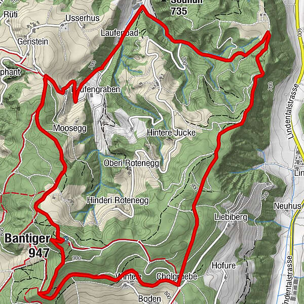
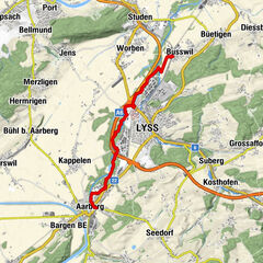
Auf den Bantiger, der Stadtnahe Aussichtsberg
Regions
Weather
Webcams
Tours
Highlights
Bathing lakes
Accommodations
Offers
Sports provider
Events
Ski resorts
Cross-country skiing
Snow parks
Auf den Bantiger, der Stadtnahe Aussichtsberg
Hiking
Map
Hide map
Bookmark
Add page to favorites
To save pages in favorites, log in or create a free account.
Login
Register
Print
Which problem do you want to report on this tour?
Reason
Not accessible
Inappropriate (hate speech, insulting, or sexually explicit language).
Spam
Violation of privacy
Copyright infringement
Incorrect information
Other
Explanatory notes
E-Mail
Report
Berner Wanderwege
Tour data
9.46
km
611 - 939
m
Distance
415
hm
420
hm
Ascent
03:00
h
Duration
Berner Wanderwege
Reviews
(0)
0 Comments
Write a review
Error
An error has occurred. Please try again.
Thank you for your review
Rating has been deleted
GPS Downloads
GPX
GPS Exchange Format (XML)
KML
Google Earth, Google Maps
QR Download Codes for Mobile Phones
Auf den Bantiger, der Stadtnahe Aussichtsberg
QR Codes - tour download for cell phones
GPX
KML
General info
Refreshment stop
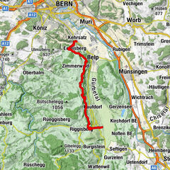
Other tours in the regions
Solothurn und Region
1456
Bern - Stadt
484
Stettlen
122
Popular tours in the area
Auf den Lisiberg - stadtnahe leichte Wanderung mit Aussicht
easy
Hiking
5.88
km |
150
hm |
01:30
h
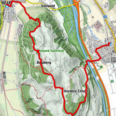
Gürbetaler Höhenweg (SwitzerlandMobility 380)
medium
Hiking
18.2
km |
518
hm |
05:30
h
Rund um Bern - zum Chutze
easy
Hiking
13.3
km |
402
hm |
04:00
h
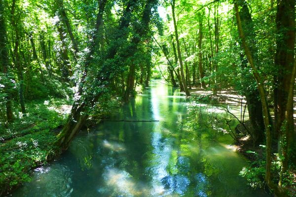
Through the riverside landscape alongside the old river Aare
easy
Hiking
8.92
km- |
02:10
h
No entries found.
The search is currently not available.
Please refine your search.
Local search results
(<= 25km)
More results
(> 25km)
%count% Search results
%name%
%type%
%elevation%
%population%
%lpButton%