© Tourismus Adelboden-Lenk-Kandersteg - Sven Allenbach

© Tourismus Adelboden-Lenk-Kandersteg - Anja Zurbrügg

© Tourismus Adelboden-Lenk-Kandersteg - Anja Zurbrügg

© Tourismus Adelboden-Lenk-Kandersteg - Sven Allenbach

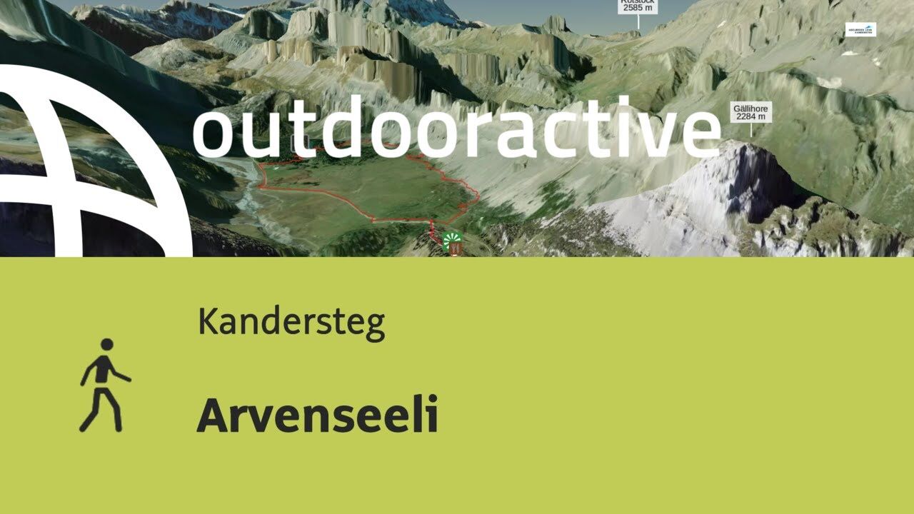
© Outdooractive – 3D Videos
- Brief description
-
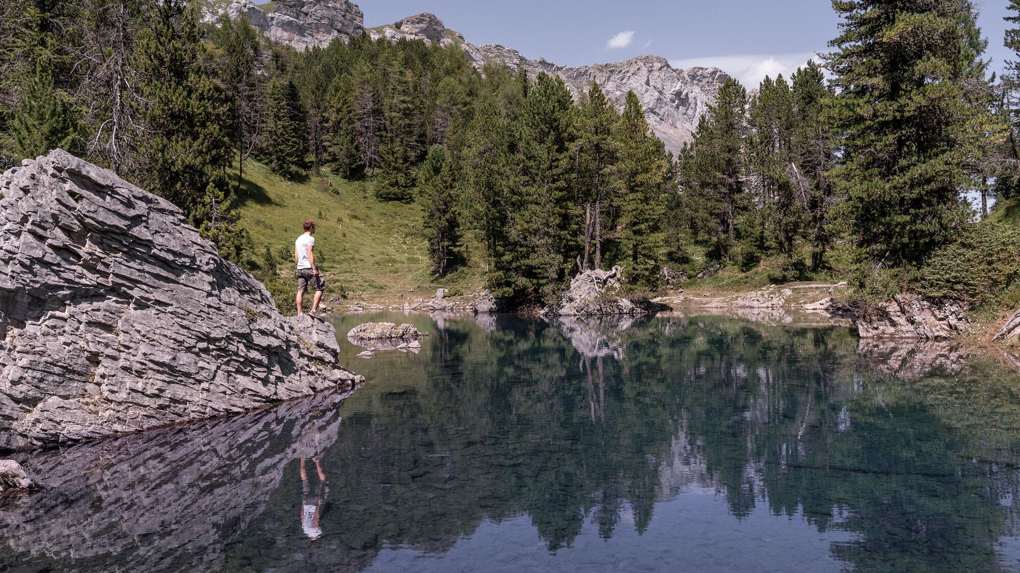
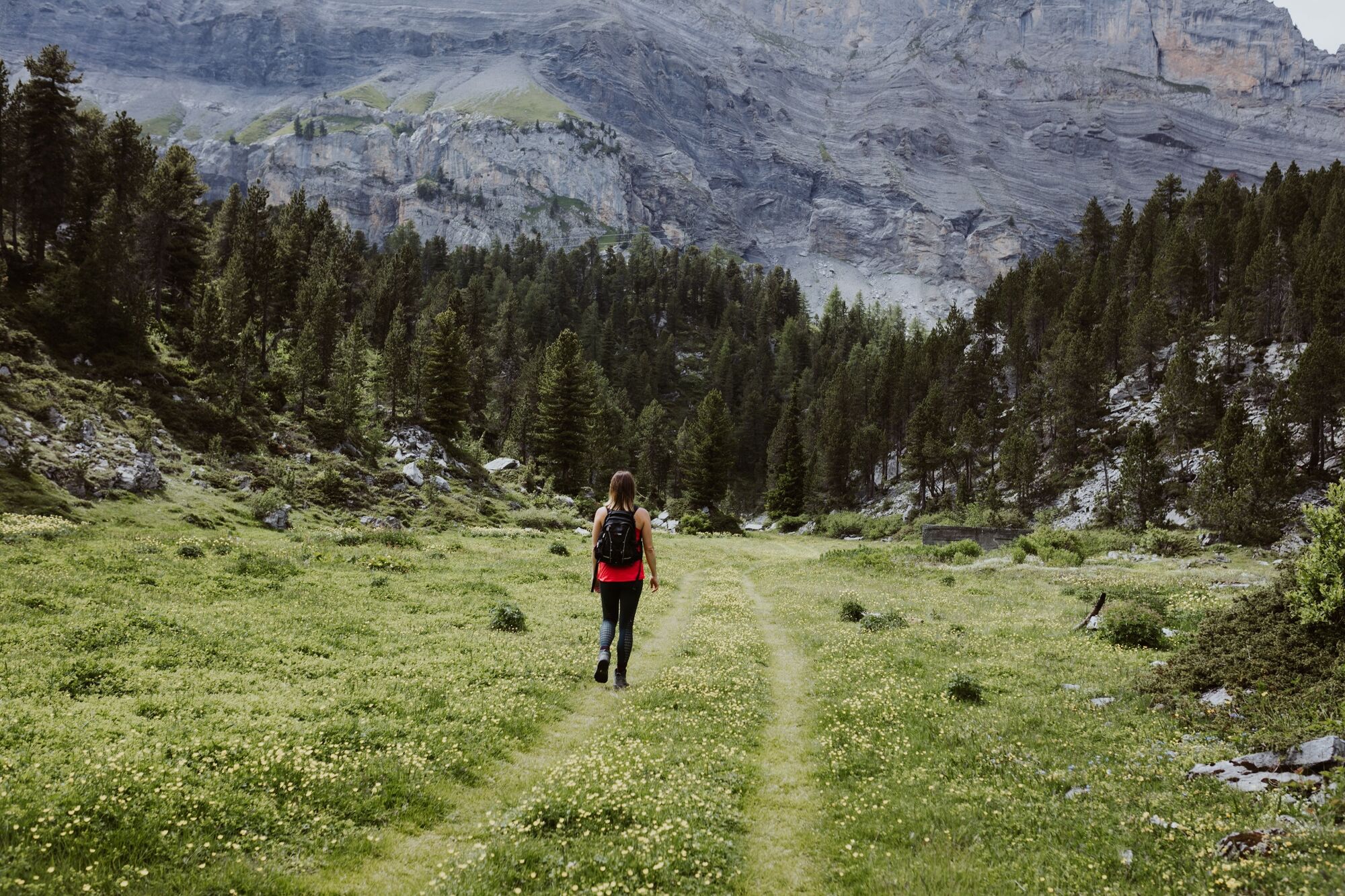
The Arvenseeli, three deep blue mountain lakes in the picturesque Arven forest!
- Difficulty
-
easy
- Rating
-
- Starting point
-
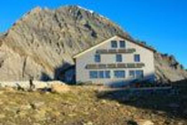
Bergrestaurant Sunnbüel
- Route
-
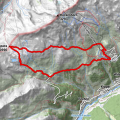
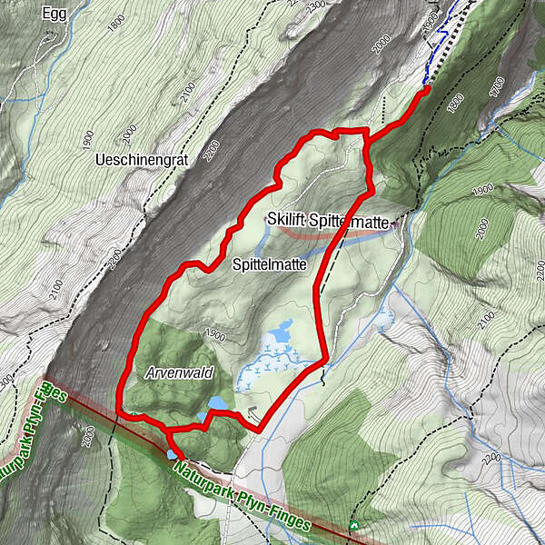
SunnbüelAltelshütte0.2 kmAltelshütte5.5 kmSunnbüel5.7 km
- Best season
-
JanFebMarAprMayJunJulAugSepOctNovDec
- Description
-
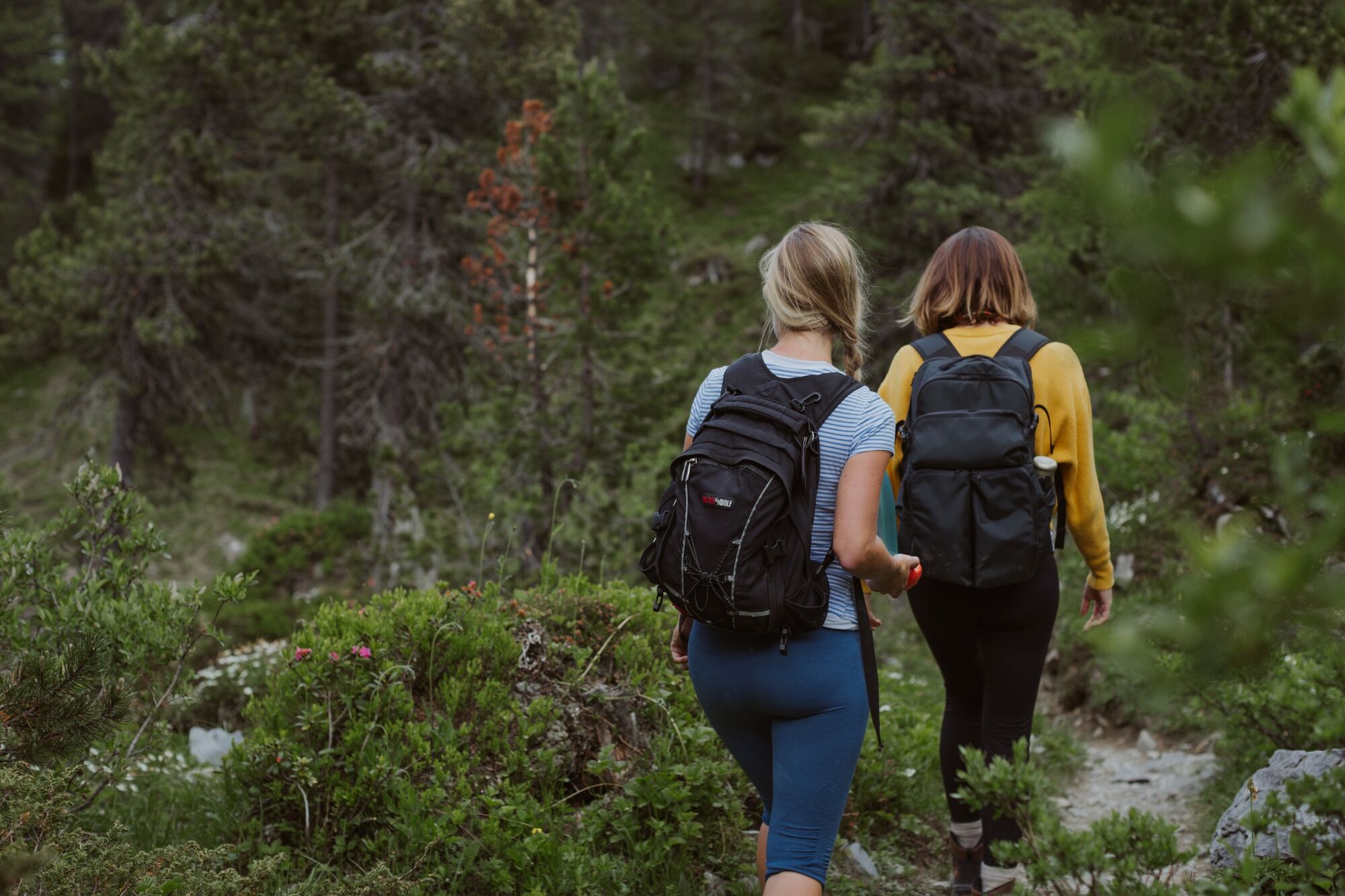
Small idyllic lakes surrounded by pine forest in majestic mountain scenery. Exceptionally beautiful from May to July. (The lakes may run dry in late season).By cable car from Kandersteg to Sunnbüel. A further 45 minutes walking via Spittelmatte to the Arvenseeli.
Alternative route: Experienced hikers may prefer the high altitude hiking trail from Eggenschwand to Sunnbüel.
Ascent: 2 hours
Gastronomy: Bergrestaurant Sunnbüel
- Highest point
- 1,963 m
- Endpoint
-
Bergrestaurant Sunnbüel
- Height profile
-
 © outdooractive.com
 - Equipment
-
T1-2
No need for heavy shoes here: this easy hike is well marked and secured in yellow or red and white.
- Safety instructions
-
Even open hiking trails may still be partially covered with snow. Hiking is at your own risk: Tourism Adelboden-Lenk-Kandersteg accepts no liability whatsoever when using local routes.
- Tips
-
Nature and culture accompany every tour - but which alpine topics are currently topical in the destination Adelboden-Lenk-Kandersteg? If you subscribe to our newsletter, you'll know what's going on along the way.
- Additional information
- Directions
- Public transportation
- Parking

-

-
AuthorThe tour Arvenseeli is used by outdooractive.com provided.
GPS Downloads


General info
Refreshment stop
Insider tip
Other tours in the regions
-
Oberwallis
1872
-
Ferienregion Kandertal
1104
-
Kandersteg - Sunnbüel
297