- Difficulty
-
medium
- Rating
-
- Starting point
-
Kandersteg
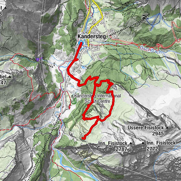
- Route
-
Kandersteg (1,176 m)Innere Schleifen3.2 kmJagerdosse (2,154 m)6.0 kmKandersteg (1,176 m)12.3 km
- Best season
-
JanFebMarAprMayJunJulAugSepOctNovDec
- Description
-
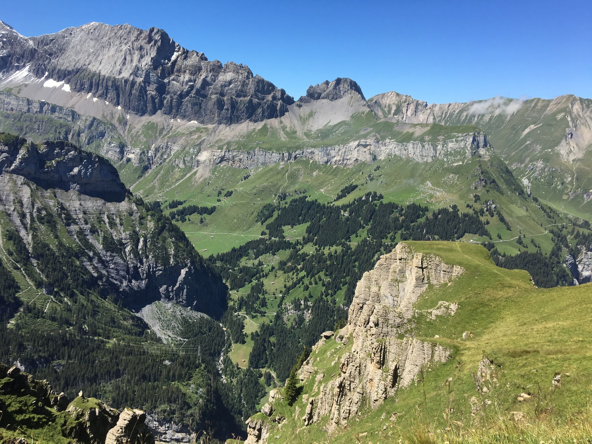
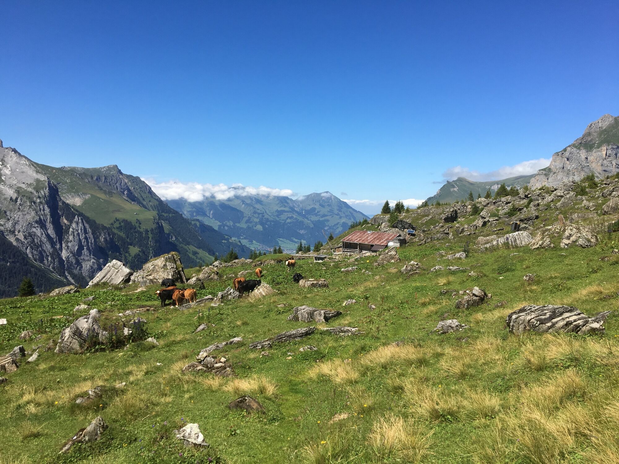
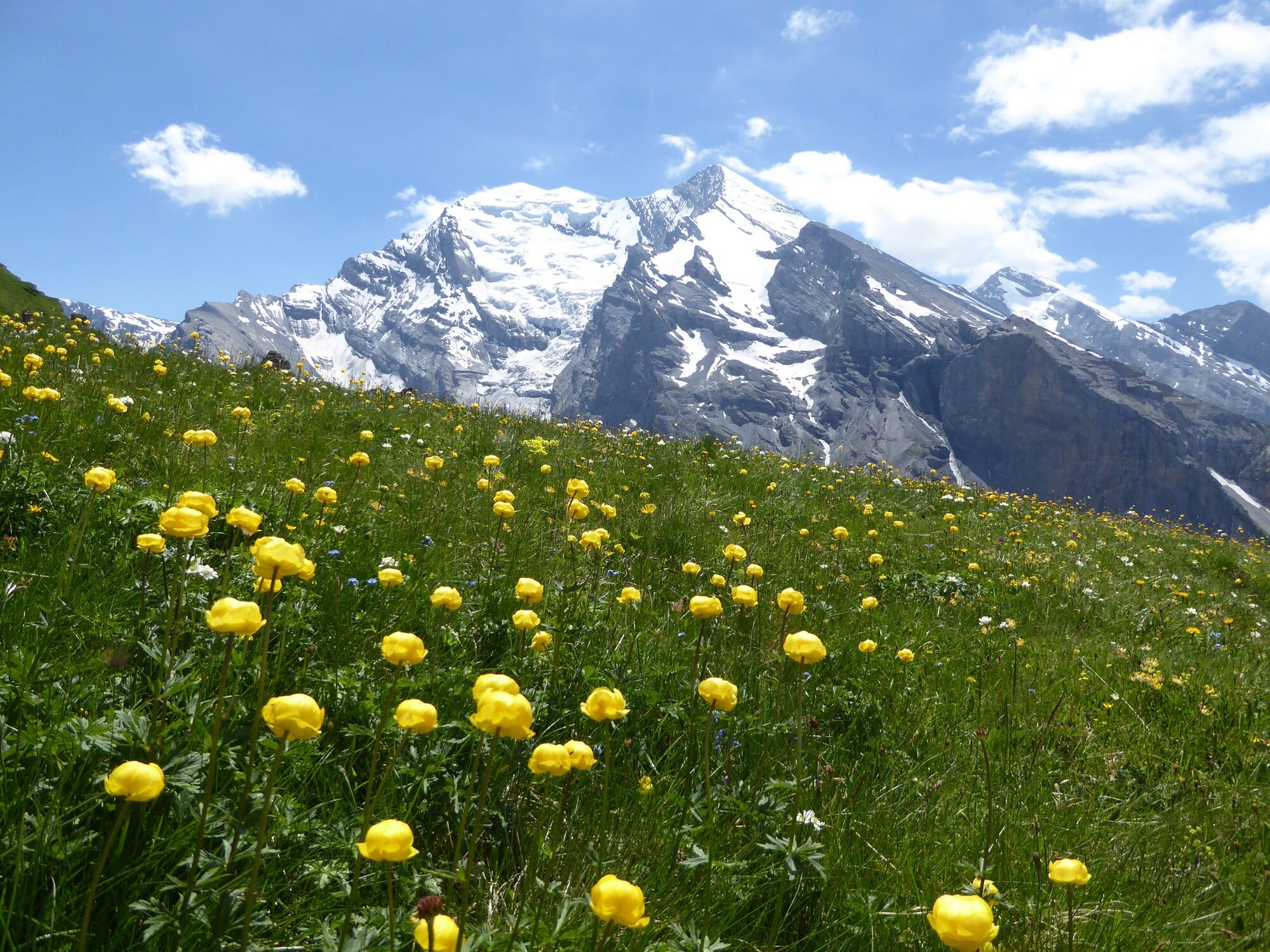
A wonderful view of Balmhorn and Altes, magnificent wildflowers. From Hotel Doldenhorn start by walking across the protected heritage area and the UNESCO-World Heritage region. The ascent begins with a steep climb through the mountain woodlands. It finishes with an easy walk through wildflower fields to the forestry hut and onwards to Jegertosse.The best route for the descent is the path via Fisialp.
- Directions
-
Kandersteg Waldhotel Doldenhorn - I de Schleife - Jegertosse - Fisialp - Obere Biberg - Dürreschwand - Waldhotel Doldenhorn Kandersteg
- Highest point
- 2,155 m
- Endpoint
-
Kandersteg
- Height profile
-
 © outdooractive.com
 - Equipment
-
T3+
Sure-footed hikers with good trekking boots will feel at home on the partly exposed terrain of this red and white marked tour.
- Safety instructions
-
Even open hiking trails may still be partially covered in snow. Hiking is at your own risk: Tourismus Adelboden-Lenk-Kandersteg accepts no liability for the use of local routes.
- Tips
-
Nature and culture accompany every tour - but which alpine themes are currently topical in the Adelboden-Lenk-Kandersteg destination? If you subscribe to our newsletter, you'll know what's going on along the way.
- Directions
- Public transportation
- Parking
-

-
AuthorThe tour Jegertosse-Fisialp is used by outdooractive.com provided.


General info
-
Oberwallis
1872
-
Ferienregion Kandertal
1104
-
Kandersteg - Sunnbüel
297