© Outdooractive – 3D Videos

© Tourismus Adelboden-Lenk-Kandersteg - Barbara Stoller

© Tourismus Adelboden-Lenk-Kandersteg - Barbara Stoller

© Tourismus Adelboden-Lenk-Kandersteg - Barbara Stoller
- Difficulty
-
medium
- Rating
-
- Route
-
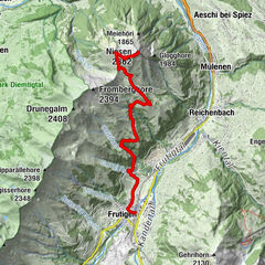
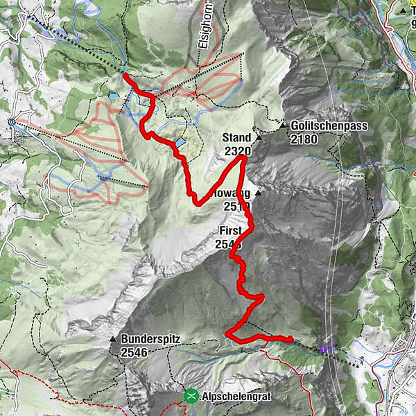
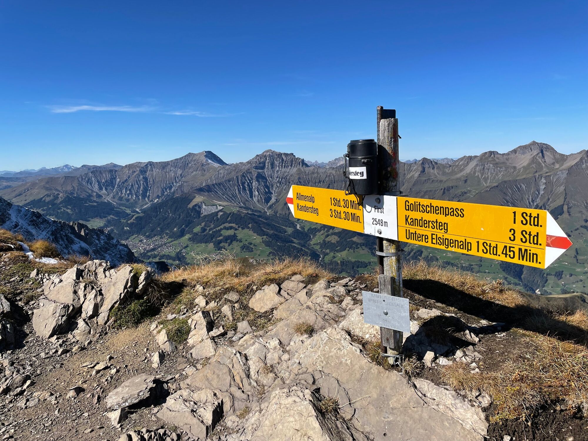
Allmenalp (1,732 m)0.0 kmFirst (2,548 m)3.3 kmBerghaus Elsigenalp7.6 kmElsigenalp (1,802 m)7.8 km
- Best season
-
JanFebMarAprMayJunJulAugSepOctNovDec
- Description
-
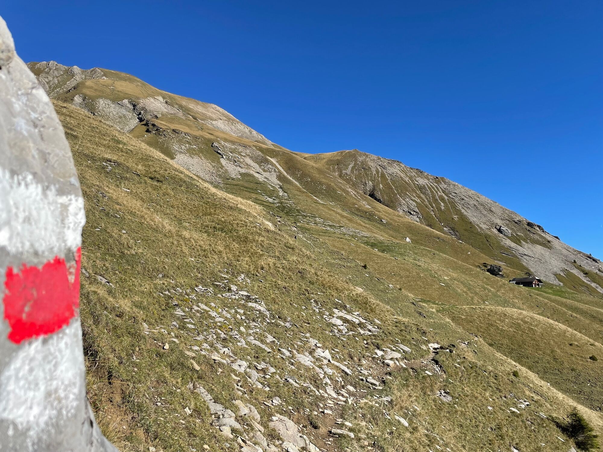
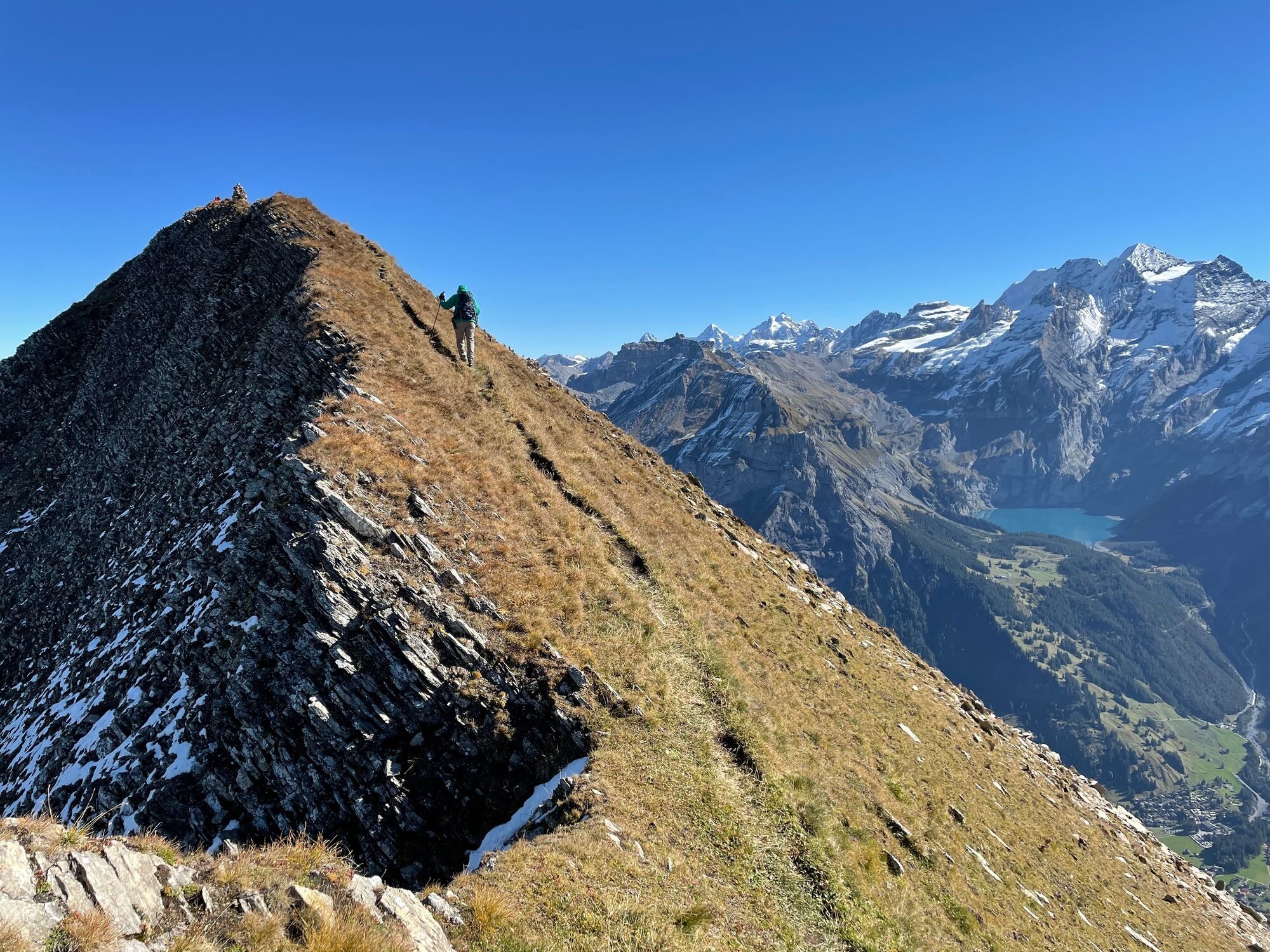
From Allmenalp (cable car mountain station) via Steintal on a steep but well maintained mountain hiking route to the summit. An interesting descent via Stand summit to Elsigenalp (cable car and bus to Frutigen-Kandersteg.)At the summit the route continues along a rocky section, with guide ropes for safety, then along a narrow path with a very steep slope - only suitable for experienced hikers with good trekking shoes and safe step. Not recommended in bad weather or snow.
Gastronomy Restaurant Allmenalp, Elsigenalp
- Highest point
- 2,520 m
- Endpoint
-
Elsigenalp
- Height profile
-
 © outdooractive.com
 - Equipment
-
Sure-footed hikers with good trekking boots will feel at home on the partly exposed terrain of this red and white marked tour.
- Safety instructions
-
Even open hiking trails may still be partially covered in snow. Hiking is at your own risk: Tourismus Adelboden-Lenk-Kandersteg accepts no liability for the use of local routes.
- Tips
-
Nature and culture accompany every tour - but which alpine themes are currently topical in the Adelboden-Lenk-Kandersteg destination? If you subscribe to our newsletter, you'll know what's going on along the way.
- Directions
- Public transportation
- Parking

-

-
AuthorThe tour First-Elsigenalp is used by outdooractive.com provided.
GPS Downloads


General info
A lot of view
Other tours in the regions
-
Oberwallis
1872
-
Ferienregion Kandertal
1104
-
Frutigen
318