© Erlebnismacher AG - #wirsindofflinehelden - Denise Krieg

© Erlebnismacher AG - #wirsindofflinehelden - Denise Krieg

© Erlebnismacher AG - #wirsindofflinehelden - Denise Krieg

© Erlebnismacher AG - #wirsindofflinehelden - Denise Krieg

© Erlebnismacher AG - #wirsindofflinehelden - Denise Krieg

© Erlebnismacher AG - #wirsindofflinehelden - Denise Krieg

© Erlebnismacher AG - #wirsindofflinehelden - Denise Krieg

- Brief description
-
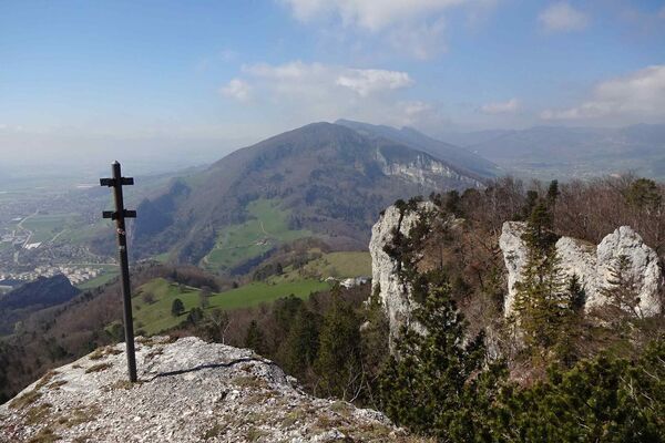
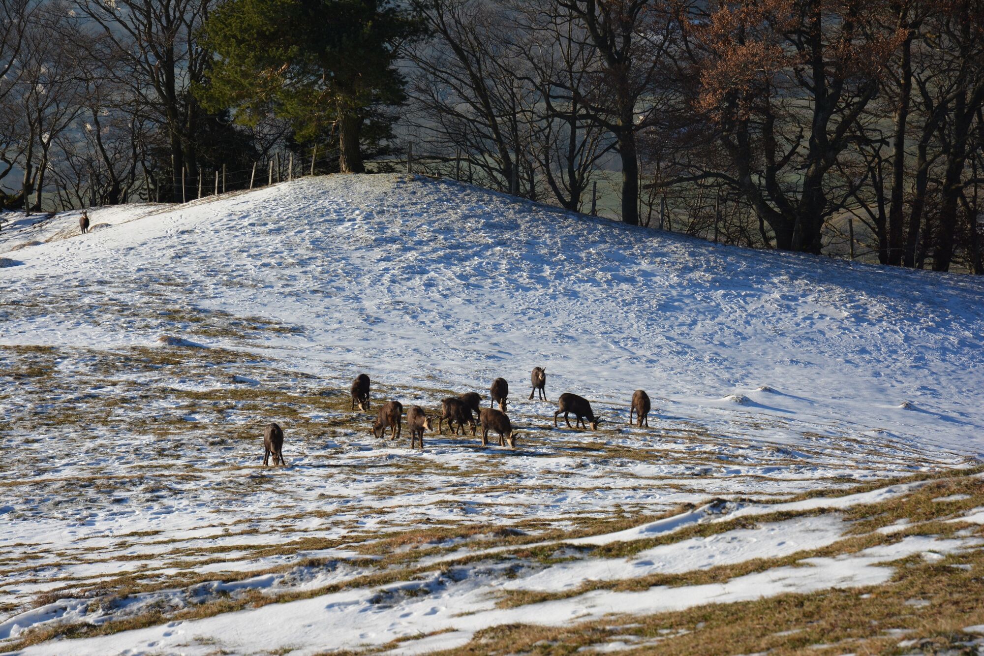
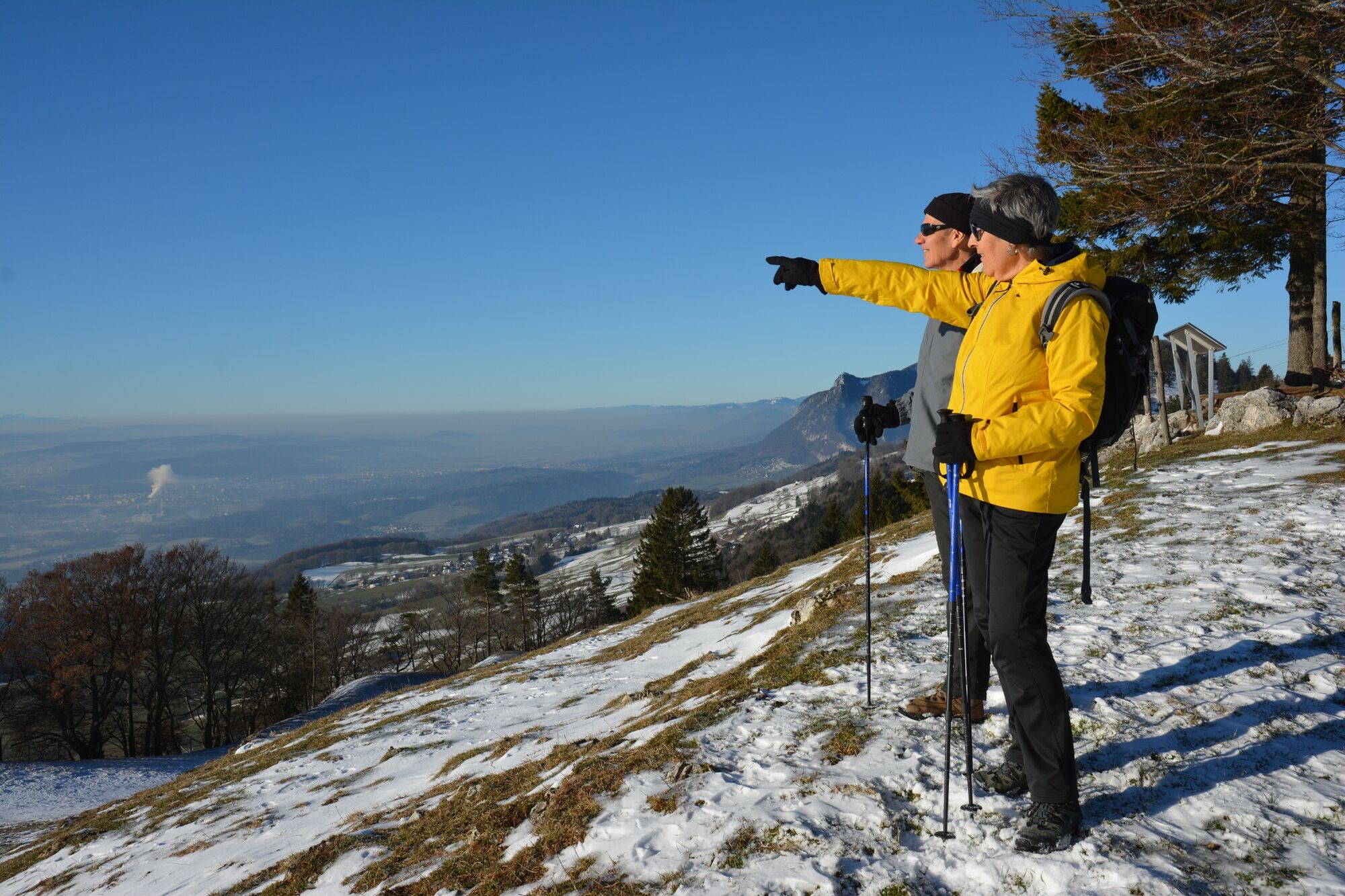
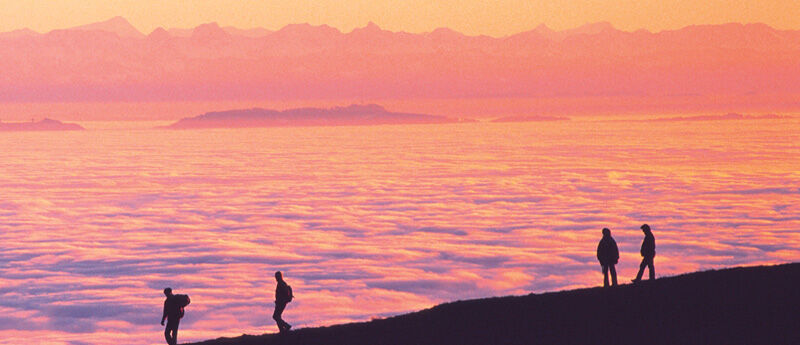
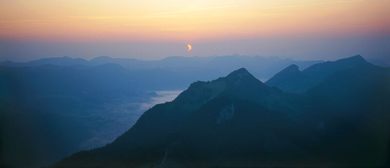
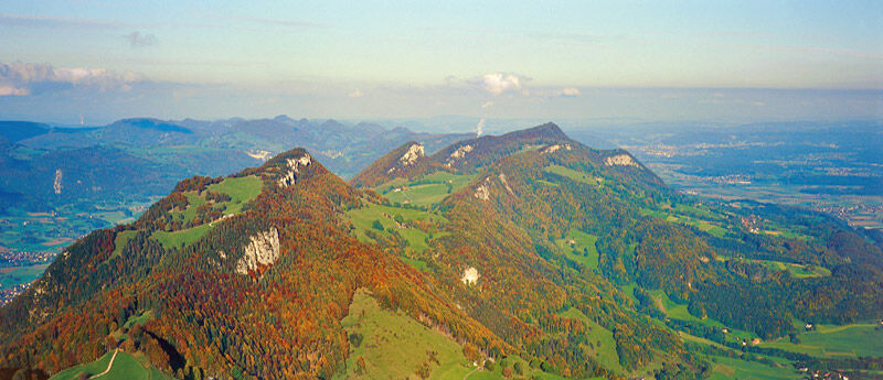
This hike offers far-reaching views over the Central Plateau as far as the Alps.
- Difficulty
-
medium
- Rating
-
- Starting point
-
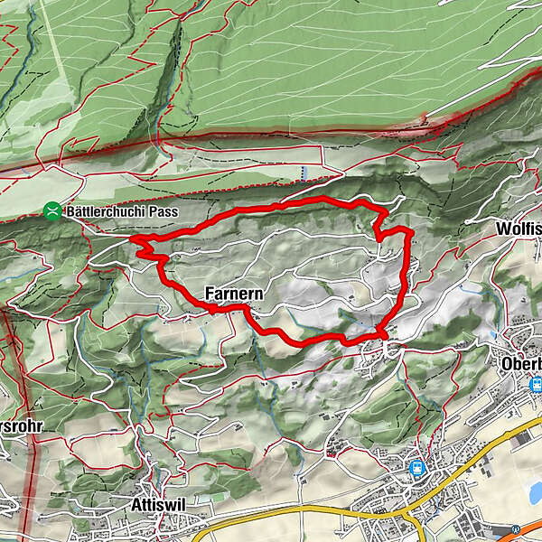
Farnern bus station
- Route
-
Farnern (800 m)0.1 kmStierenberg2.4 kmRumisberg (638 m)6.1 kmFarnern (800 m)7.9 km
- Best season
-
JanFebMarAprMayJunJulAugSepOctNovDec
- Description
-
The Bipper-Jura invites you to dream. You can enjoy a picture-book landscape throughout the hike. Let your mind wander.
- Directions
-
Farnen (810 m.a.s.l.) - Stierenberg - Rumisberg (638 m.a.s.l.)
- Highest point
- 1,014 m
- Endpoint
-
Rumisberg bus station
- Height profile
-
 © outdooractive.com
 - Equipment
-
Hiking boots, rucksack with provisions
- Directions
-
- Outward journey: By bus from Herzogenbuchsee, Wangen a.A. or Wiedlisbach to Farnern
- Return journey: By bus from Rumisberg
- Public transportation
-
Bus connections to Farnern and from Rumisberg.
- Parking
-
It has public pay and display car parks. However, these are not directly next to the bus station.
-

-
AuthorThe tour Magnificent hike with sweeping views over the Central Plateau is used by outdooractive.com provided.
GPS Downloads


General info
Refreshment stop
A lot of view
Other tours in the regions
-
Solothurn und Region
1453
-
Naturpark Thal
855
-
Attiswil
204