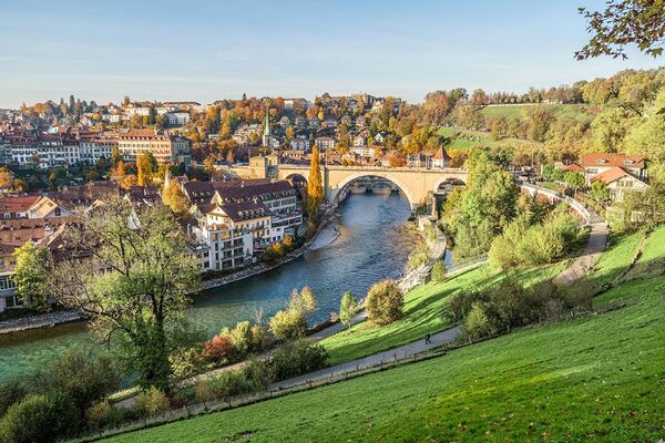
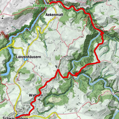
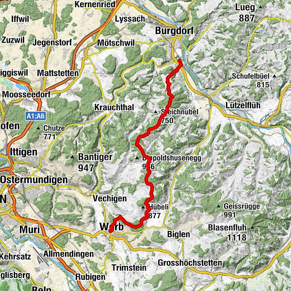
Emmentaler Höhen zwischen Luterbach, Biembach und Biglebach
Hiking
Which problem do you want to report on this tour?

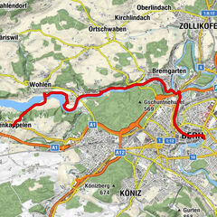
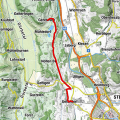
GPS Downloads


General info
Refreshment stop
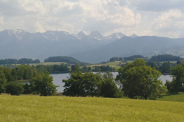
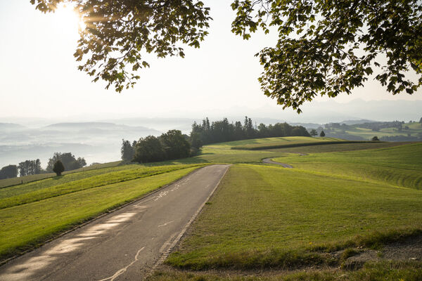
A lot of view
Other tours in the regions
-
Solothurn und Region
1453
-
Emmental
550
-
Walkringen
120