
- Brief description
-
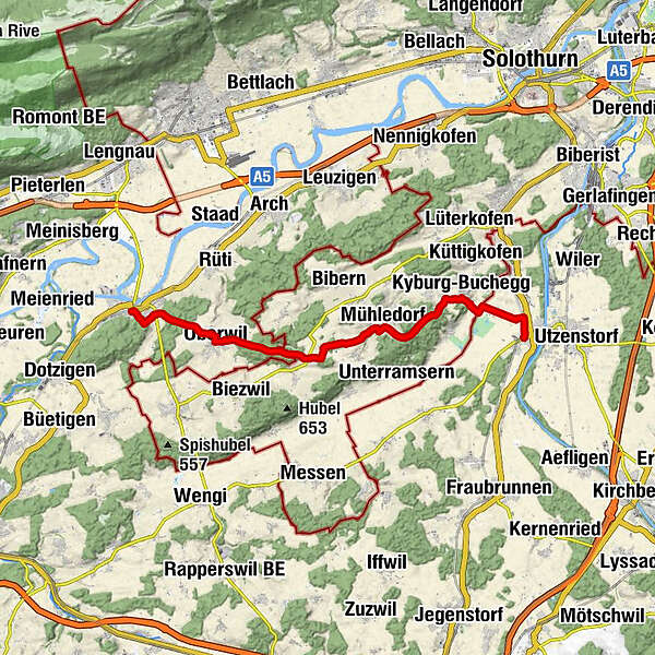
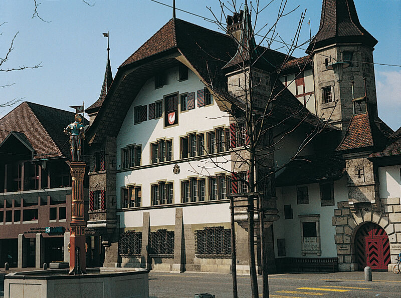
Reizvolle Wanderung über die drei Höhenzüge des stark bewaldeten Bucheggberg-Gebiets. Der sich zwischen Limpach und Aare hindehnende Hügelrücken bildet eine in sich geschlossene Einheit, die zum grossen Teil zum Kanton Solothurn gehört, im Landschaftscharakter und in der Sprache aber viel bernisches Wesen in sich birgt. Bauerndörfer, ein markanter Burgturm und ein mittelalterliches Städtchen bilden die Stationen unterwegs. Wenig Hartbelag ausserhalb der Siedlungen.
- Difficulty
-
medium
- Rating
-
- Route
-
AhornparkZälgi0.0 kmBätterkinden (473 m)0.2 kmSpielplatz Dorfmatt Schulhaus0.3 kmKyburg-Buchegg (545 m)2.9 kmMühledorf (557 m)6.2 kmAetigkofen (610 m)7.5 kmSternen12.3 kmOberwil (488 m)12.5 kmGasthof Bären12.7 kmBellevue (490 m)15.2 kmBüren (443 m)15.6 km
- Best season
-
JanFebMarAprMayJunJulAugSepOctNovDec
- Highest point
- 649 m
- Endpoint
-
Büren a. A.
- Height profile
-
 © outdooractive.com
- Author
-
The tour Quer durch die Höhenzüge des Bucheggberges is used by outdooractive.com provided.
GPS Downloads


General info
Refreshment stop
Cultural/Historical
Other tours in the regions
-
Solothurn und Region
1453
-
Bucheggberg
525
-
Lüterswil-Gächliwil
96