


- Brief description
-
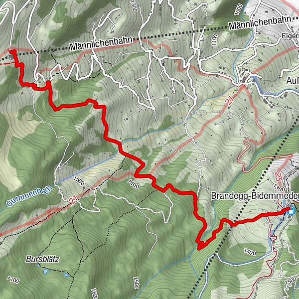
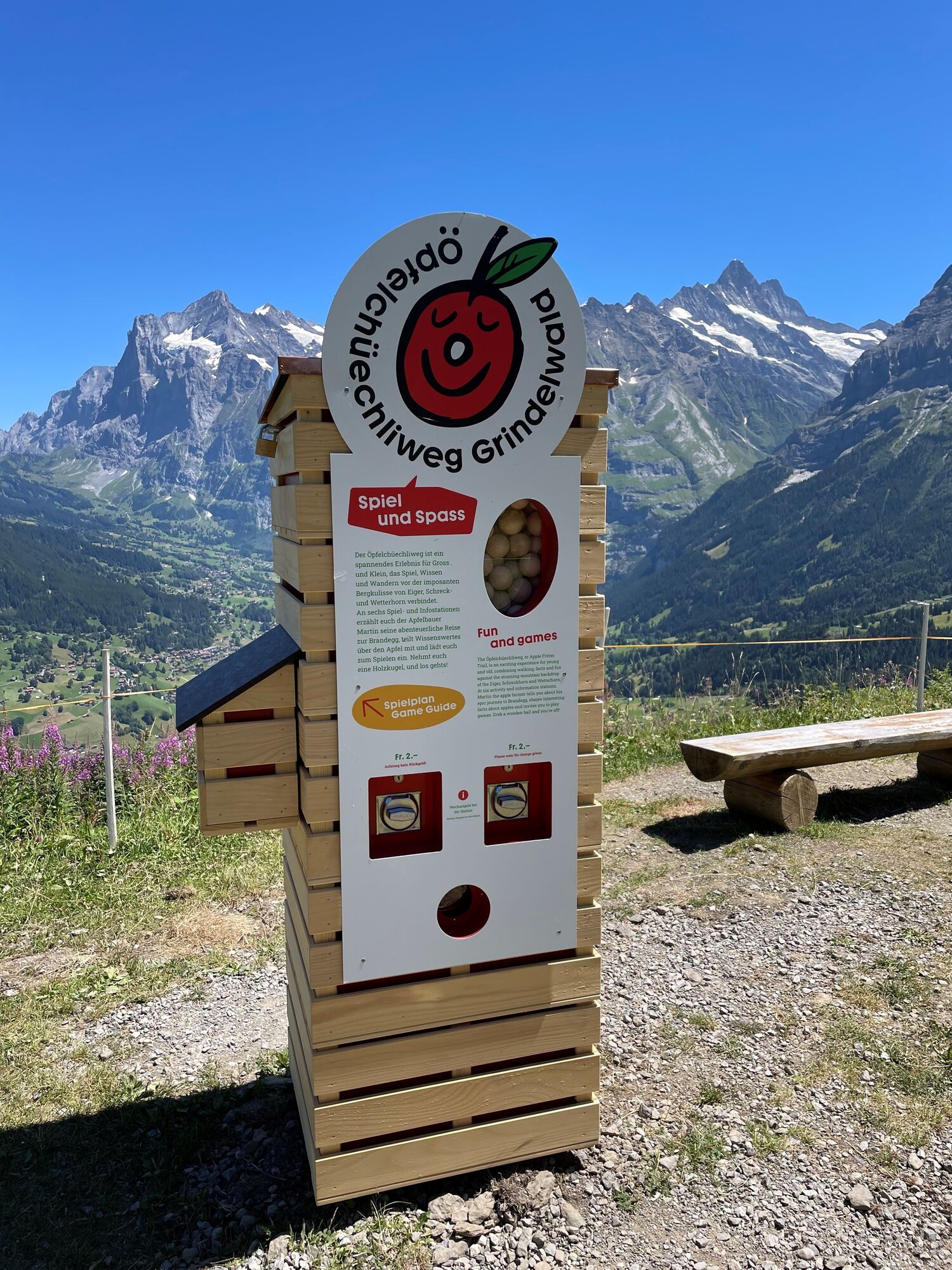
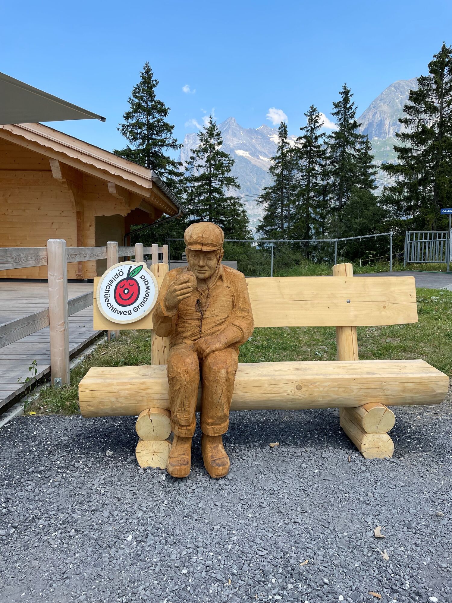
The Öpfelchüechliweg (Swiss for apple pie) combines educational activities with a wonderful landscape and thus offers a varied experience on Männlichen.
- Difficulty
-
easy
- Rating
-
- Starting point
-
Männlichenbahn - Mittelstation Holenstein
- Route
-
Brandegg-Bidemmeder4.4 kmRestaurant Brandegg4.7 kmBrandegg (1,333 m)4.7 km
- Best season
-
JanFebMarAprMayJunJulAugSepOctNovDec
- Description
-
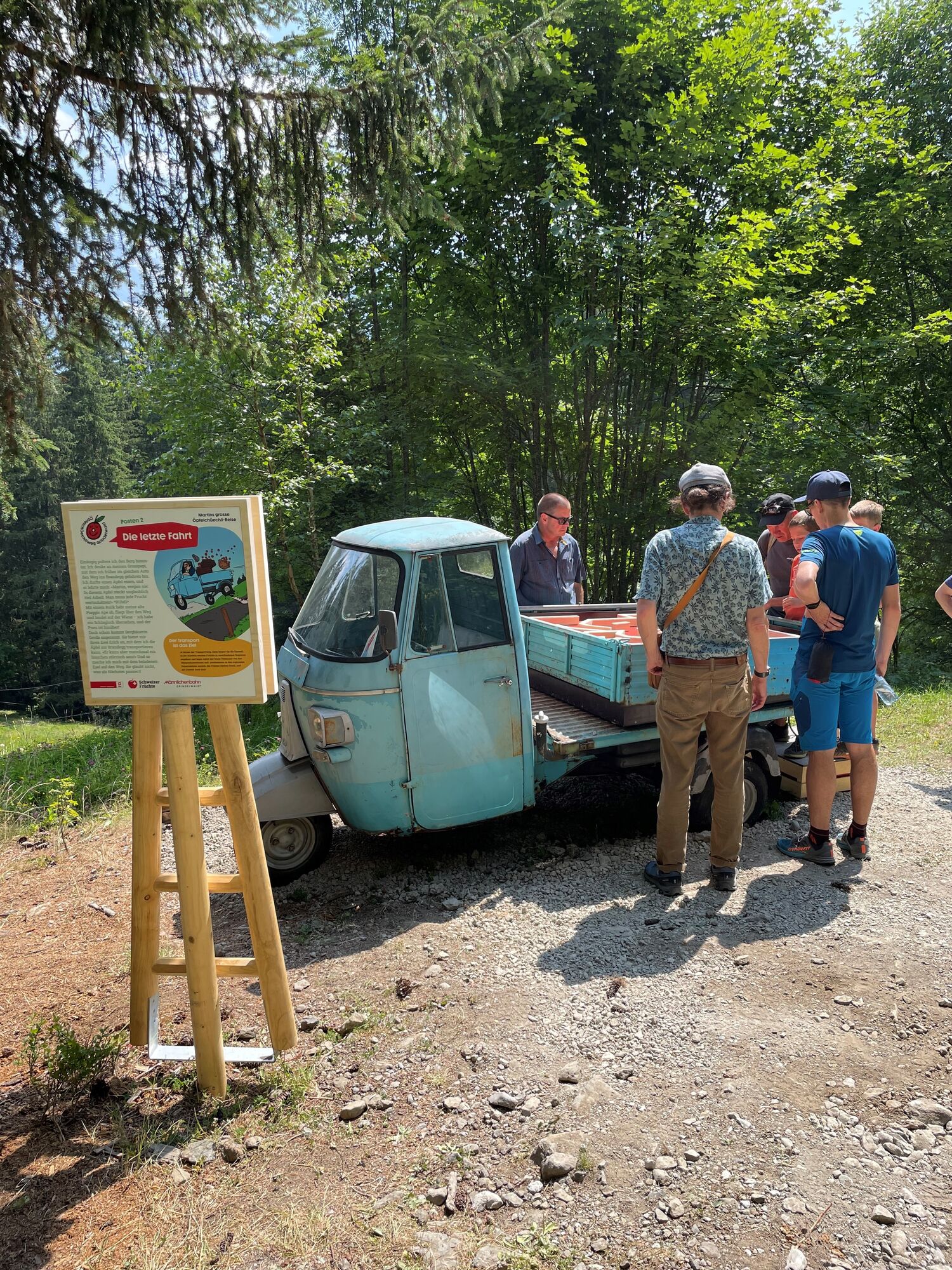
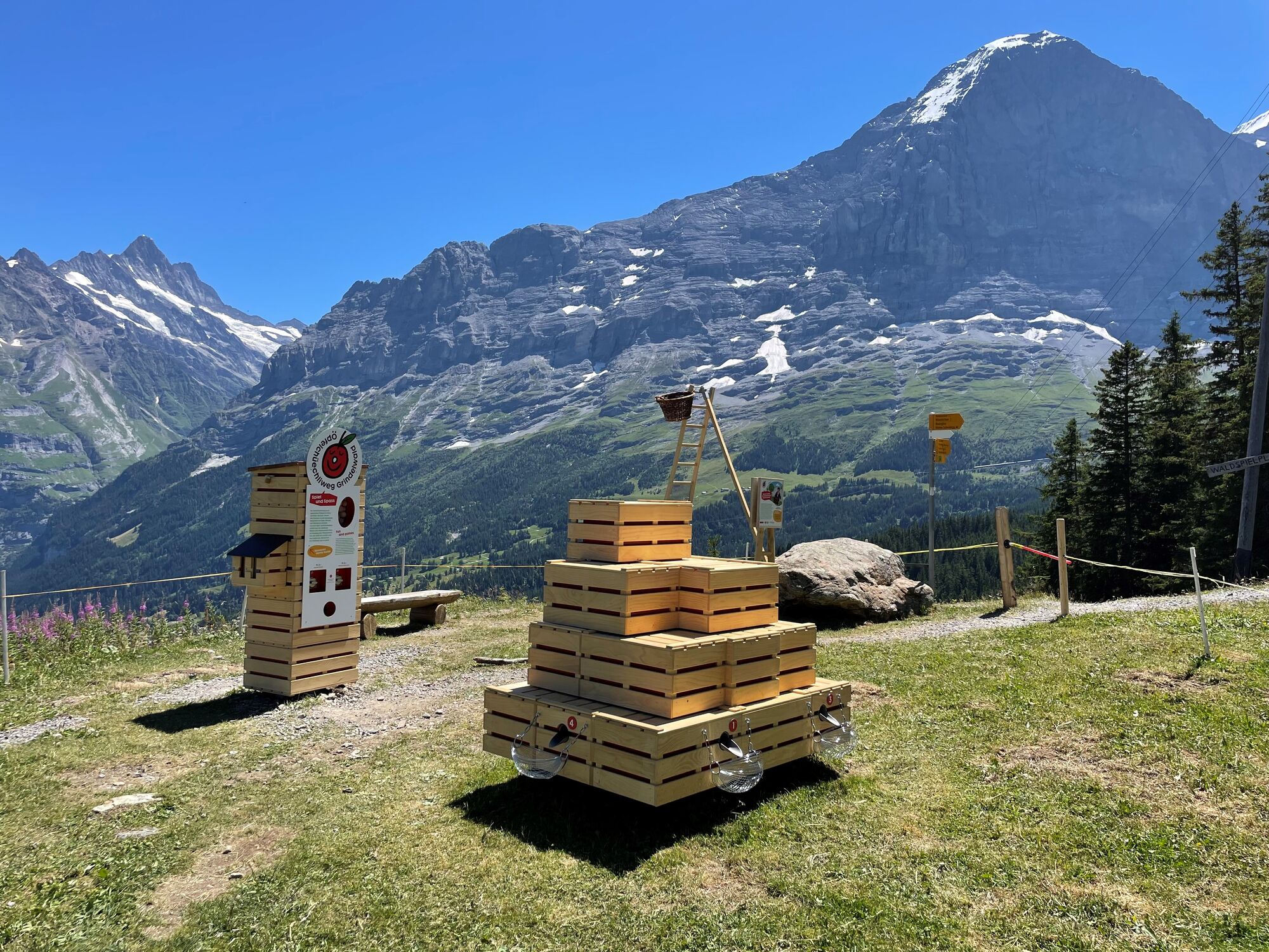
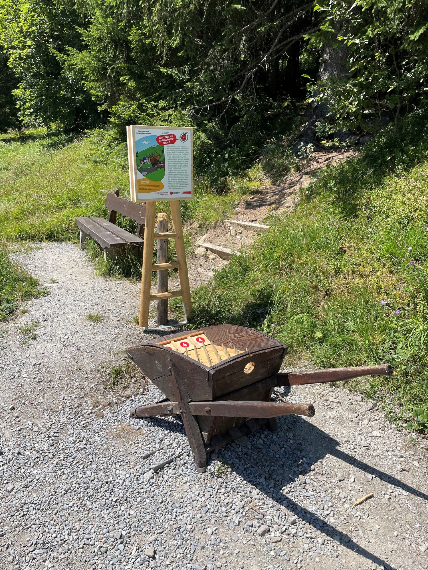
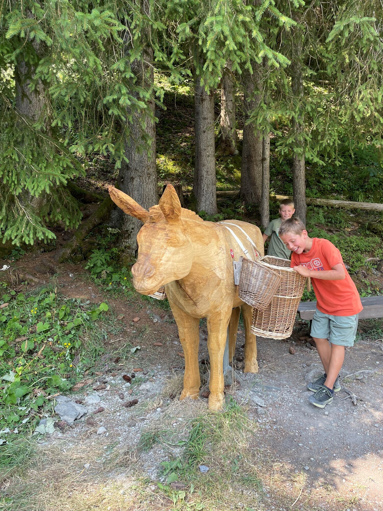
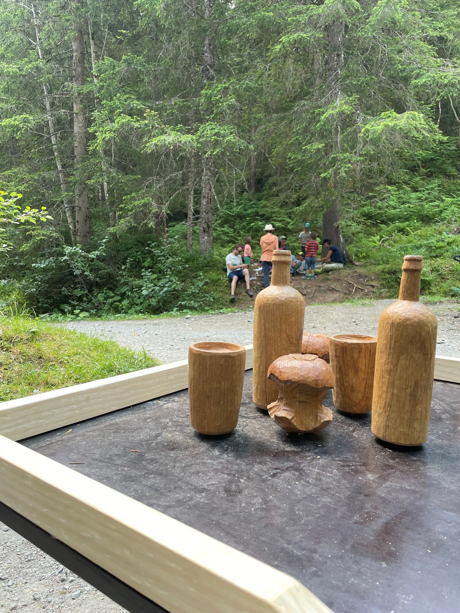
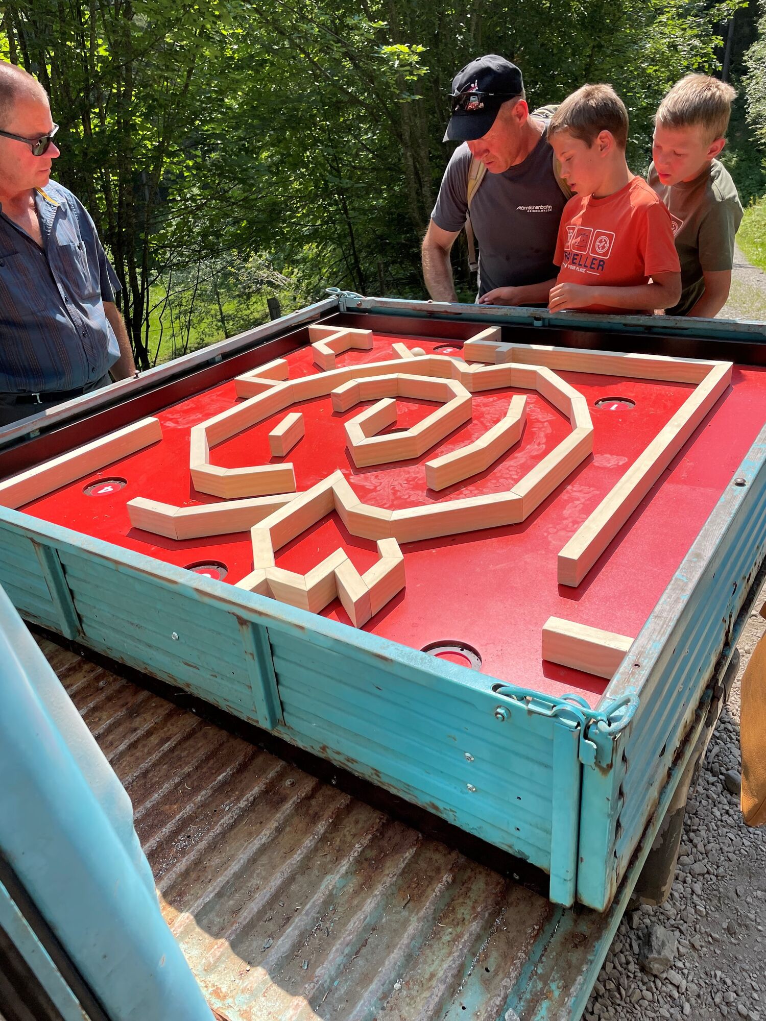
The educational fruit trail leads you across lush alpine pastures, flower-filled meadows and secluded forests from Holenstein to Brandegg. At six information boards you can test and improve your knowledge about fruit. Did you know that a Swiss eats around 20 kilograms of apples every year?
On the way through the dreamlike scenery, you will of course march towards the imposing backdrop of the Eiger, Schreckhorn and Wetterhorn. The crowning and delicious finale of the Öpfelchüechliweg is at the Brandegg mountain restaurant. Here some of the best Öpfelchüechli (apple pie) in the world are prepared! What could be nicer than indulging in the sweet temptation on the sun terrace with tired legs? The hike takes about 1.5 hours.
Brandegg Mountain Restaurant
3818 Grindelwald
Phone +41 (0)33 853 10 57Low-priced round-trip tickets are available at all railway stations in Switzerland. Family discounts are also available, and with the Jungfrau Railways Pass or the Bernese Oberland Regional Pass you travel for free.
- Highest point
- 1,614 m
- Endpoint
-
Restaurant Brandegg
- Rest/Retreat
-
Restaurant Brandegg: www.brandegg.ch/


Trail conditions
-
Aletsch Arena
1471
-
Jungfrau Region
1007
-
Grindelwald - Männlichen
466


