
- Brief description
-
A well-signposted, varied trail with a steady incline that takes you across fields and follows the Milibach river via Gäldried to Planalp.
- Difficulty
-
medium
- Rating
-
- Starting point
-
Brienz BE, Bahnhof
- Route
-
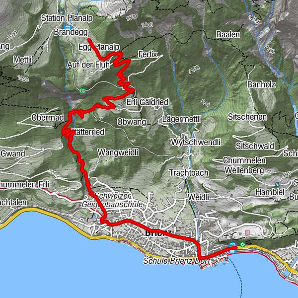
Brienz0.0 kmBrienz (574 m)0.8 kmGampeli1.8 kmMilibachfall2.9 kmEgg Planalp5.1 kmMoos5.2 kmWyder5.2 kmRestaurant Planalp5.2 km
- Best season
-
JanFebMarAprMayJunJulAugSepOctNovDec
- Description
-
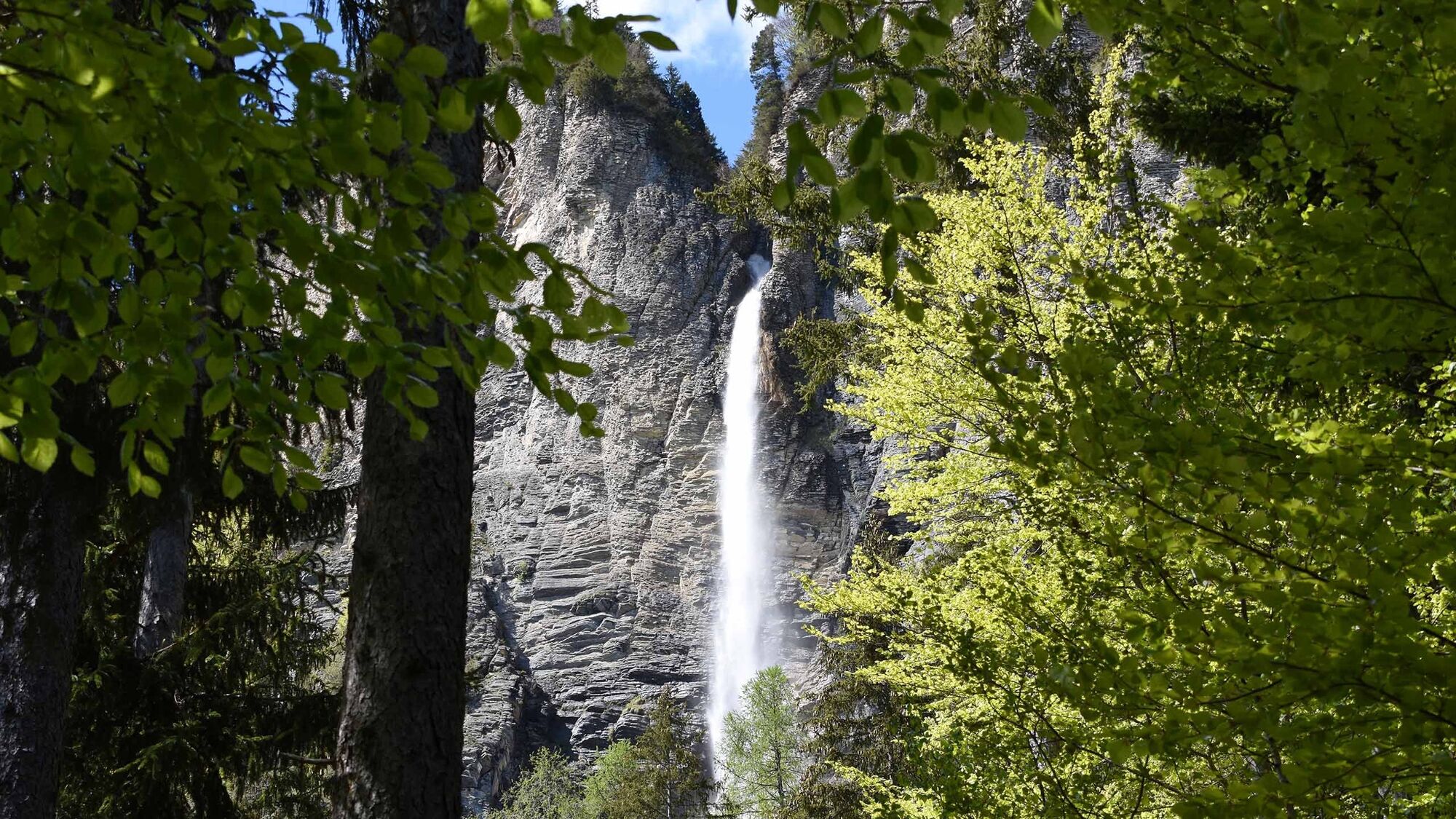
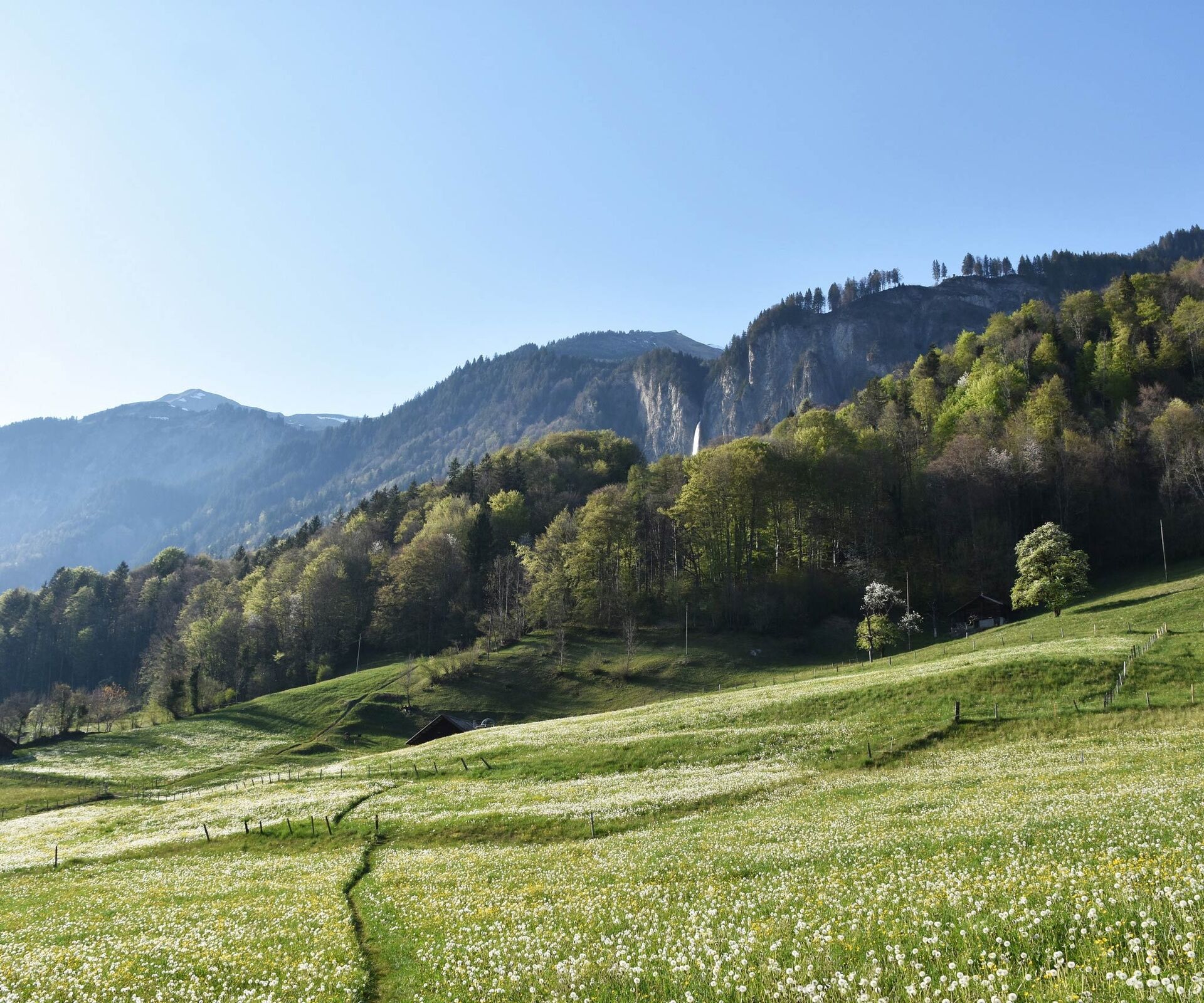
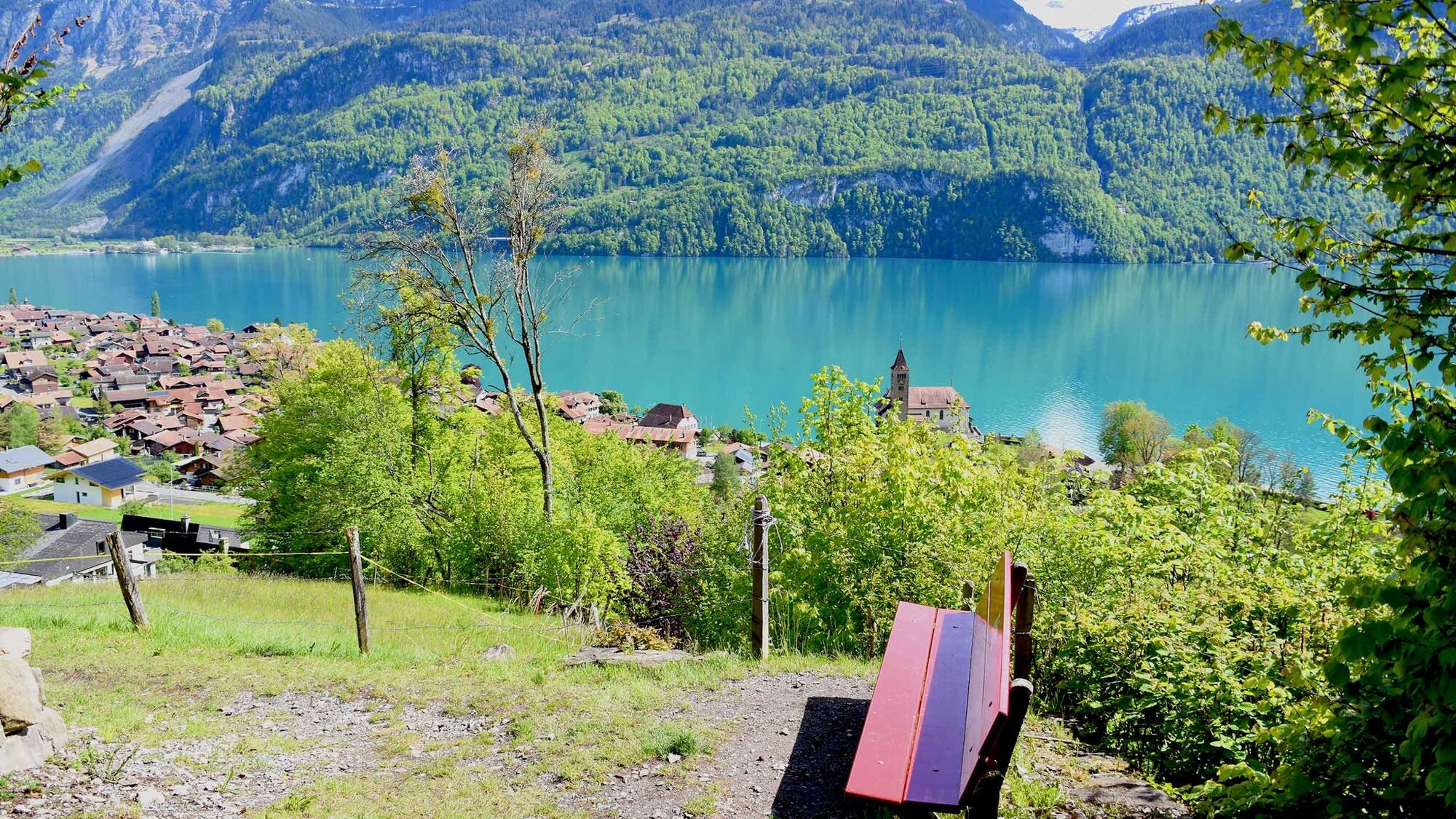
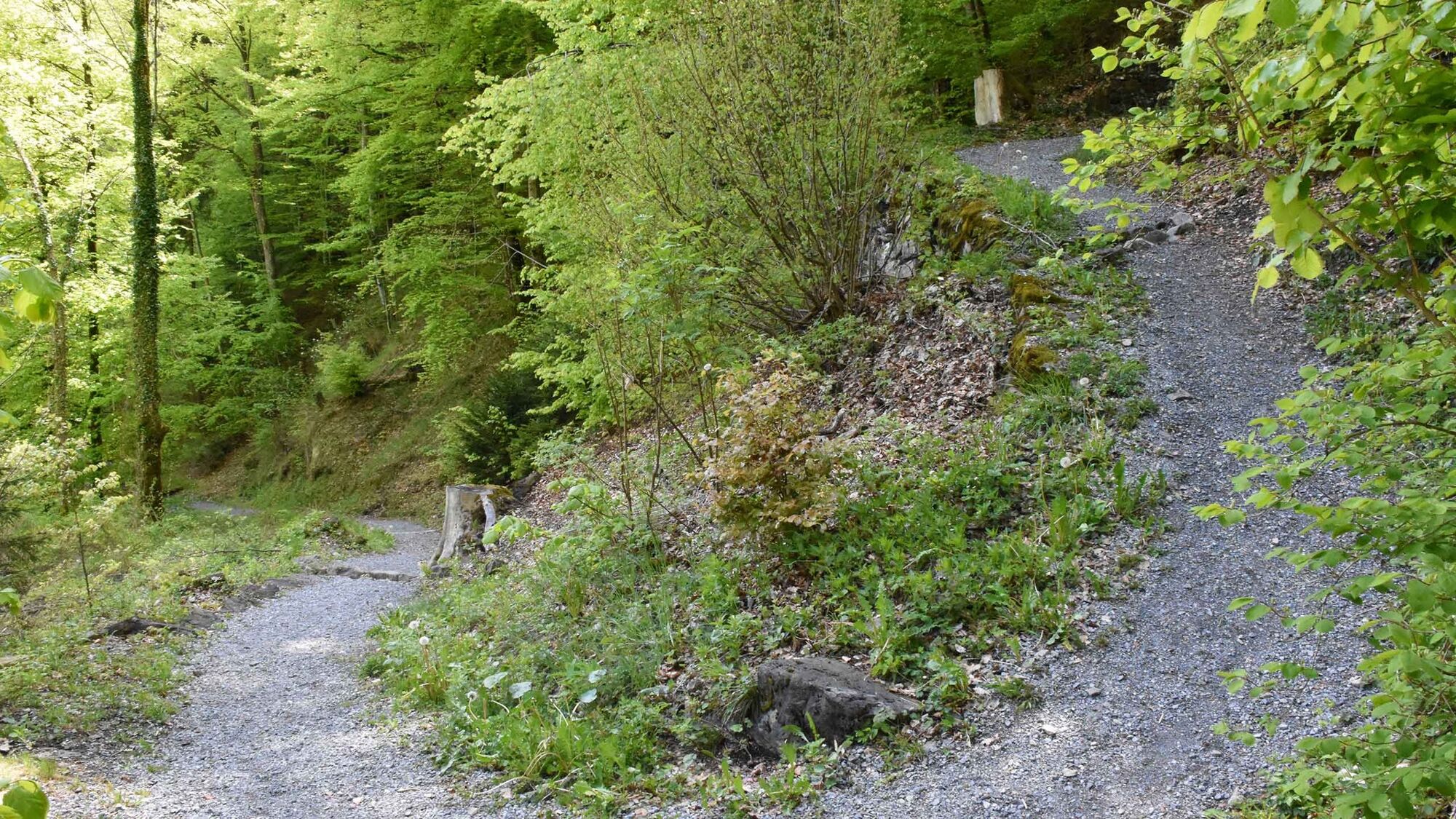
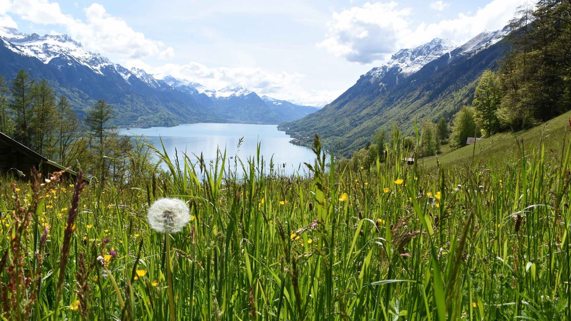
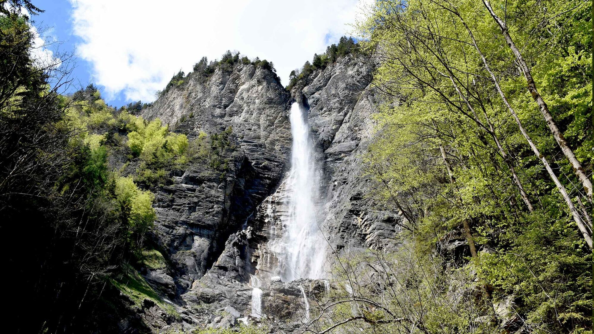
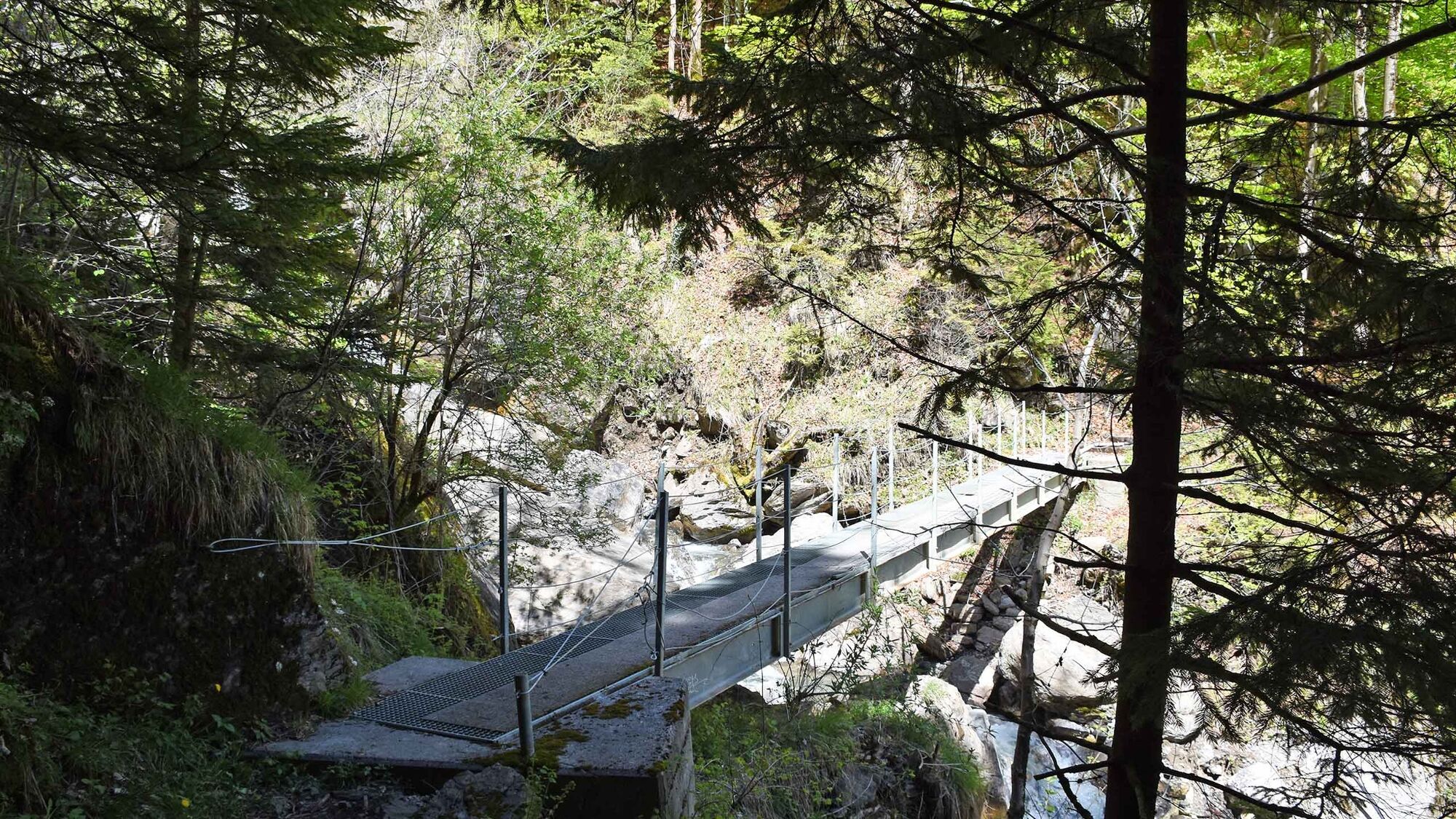
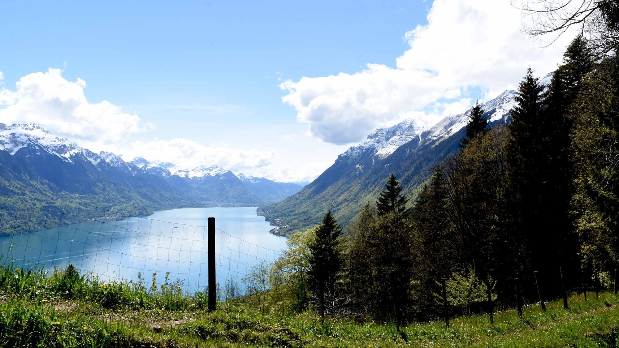
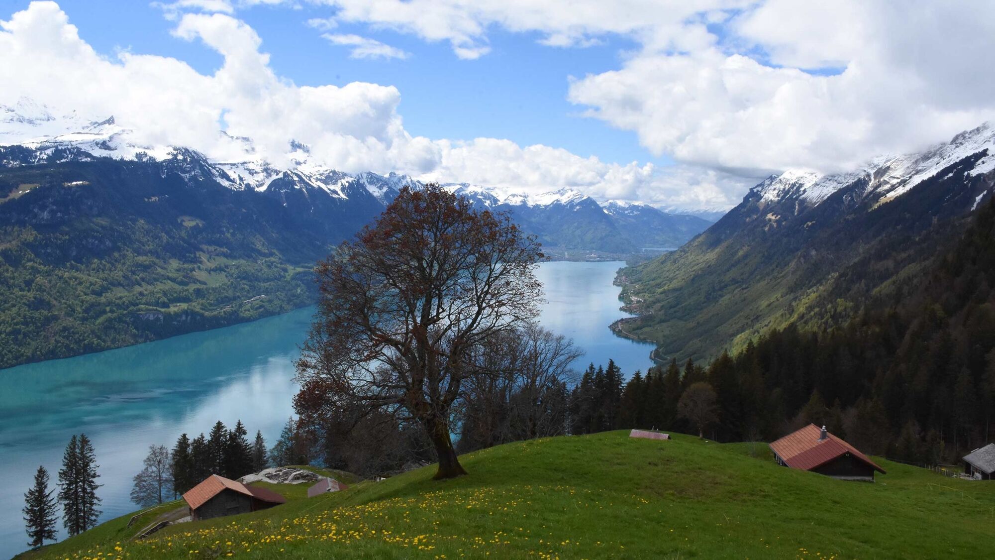
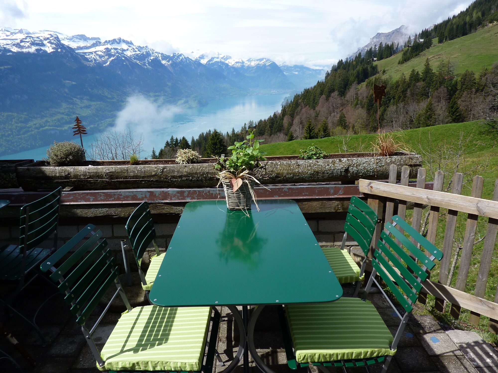
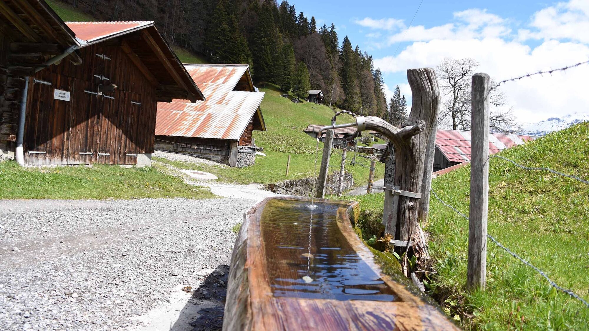
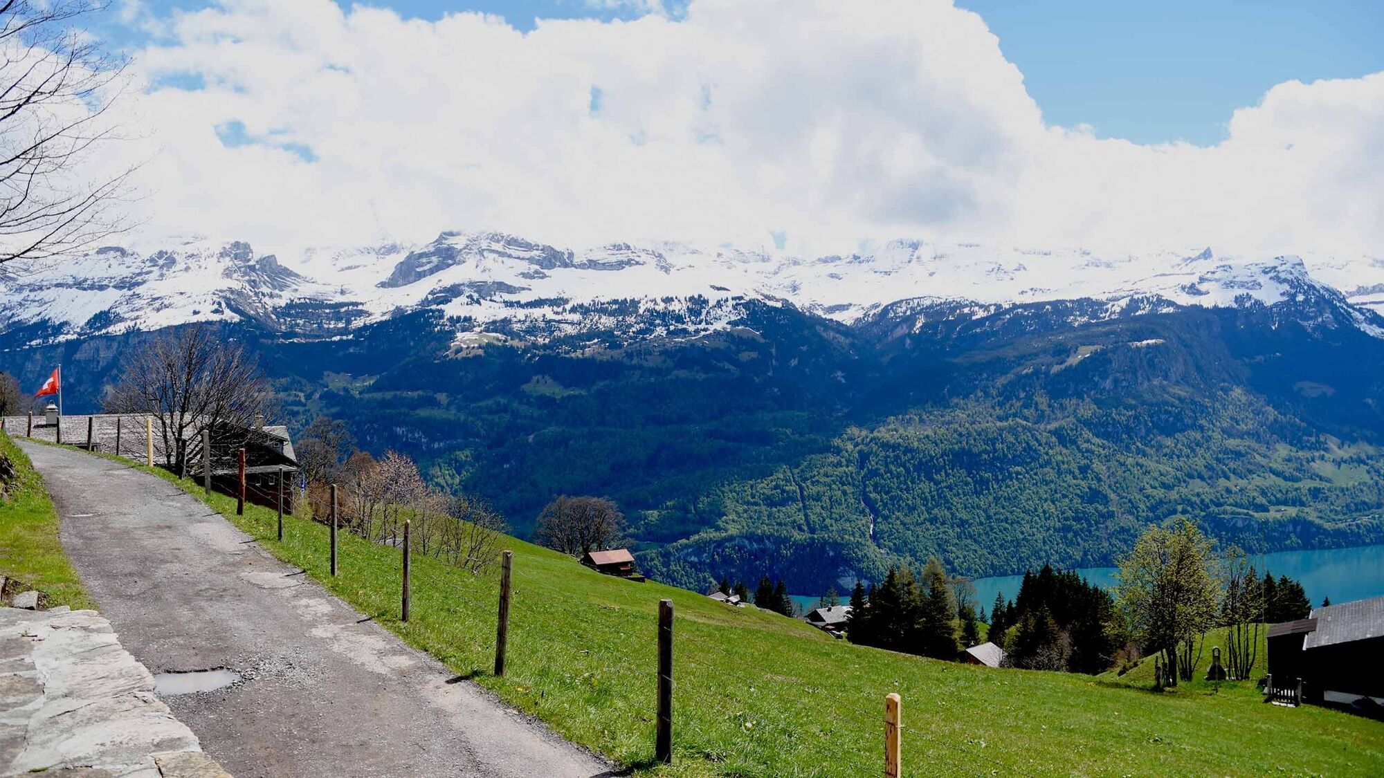
From the station in Brienz, follow the Hauptstrasse towards Interlaken. Soon, you will reach the Restaurant Steinbock. Here the signpost points right, up along the river. Follow this path until you reach the Catholic church, where you turn down Feldstrasse. The path now runs through a built-up area, but soon comes out in fields and meadows, where it continues towards the Milibach. The path continues to climb in the direction of the river; after approximately 1 hour, you will be rewarded by the sight of the Milibach waterfall. A steep section takes you through woodland towards Gäldried station. The road then widens: here you can take a short cut along mountain trails if you wish (these trails are, however, steeper than the road). Upon reaching Planalp, the glorious panorama opens out over Lake Brienz and the surrounding mountains.
Want to explore new hiking routes?
Find your favourite tour of the Bernese Oberland here. - Directions
-
Brienz Bahnhof – Restaurant Steinbock – katholische Kirche Brienz – Feldstrasse – Wangweg – Milibach – Gäldried - Planalp
- Highest point
- 1,340 m
- Endpoint
-
Berghaus Planlap
- Height profile
-
 © outdooractive.com
 - Tips
-
Once you arrive on Planalp, a visit to the Berghaus Planalp is a must: here hungry guests can enjoy delicious “Chäsbrätel” (grilled cheese on crusty bread), Soups and other regional delicacies.
- Additional information
- Directions
-
Leave the autobahn at the exit for Brienz, then go down the Hauptstrasse towards Brienz station. At Brienz station, follow the signs towards the Rothorn car park.
- Parking
-
Paid parking is available at the Brienz Rothorn Railaway.

- Author
-
The tour Hiking tour Brienz – Gäldried – Planalp is used by outdooractive.com provided.
GPS Downloads


General info
Refreshment stop
A lot of view
Other tours in the regions
-
Obwalden
2027
-
Brienzersee
1069
-
Brienz - Axalp
387