
- Brief description
-
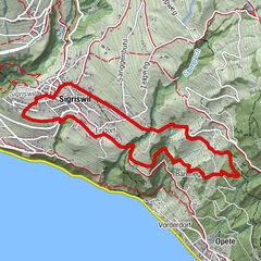
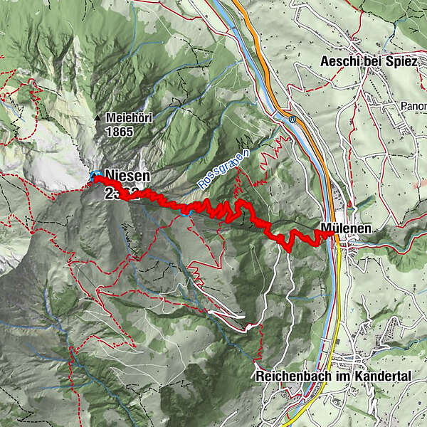
A long, challenging mountain hike with an elevation gain of 1,700 metres that takes you from Mülenen, via the Schwandegg midway station and on to the Niesen. For a less strenuous option, complete the first section by train, which reduces elevation gain by 1,000 metres.
- Difficulty
-
difficult
- Rating
-
- Starting point
-
Mülenen
- Route
-
Mülenen (692 m)Schwandegg (1,680 m)4.9 kmGlogghore (1,984 m)6.0 kmGedenktafel Präsidenten Niesenbahn6.2 kmNiesen (2,362 m)7.7 kmNiesen Kulm (2,336 m)7.7 km
- Best season
-
JanFebMarAprMayJunJulAugSepOctNovDec
- Description
-
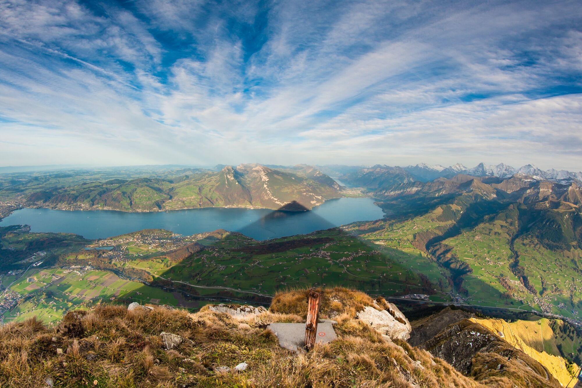
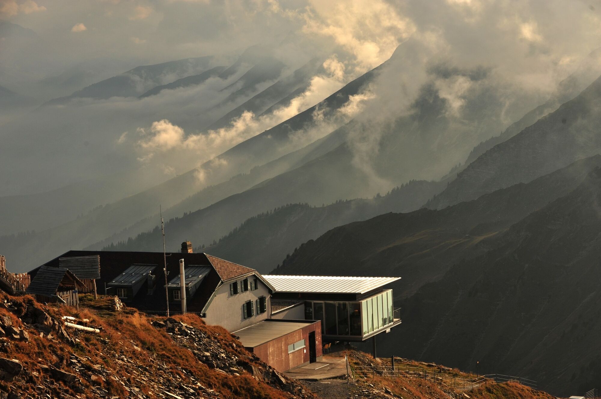
From Mülenen base station, which is at 692 metres above sea level, you follow the hiking trail along the tracks of the Niesen funicular railway. The trail winds its way up to Schwandegg midway station at 1,669 metres above sea level, passing mostly through woodland. In summer, the shade from the trees keeps you comfortably cool. If you want to take things a little easier, we recommend covering the first 1,000 metres on the Niesen funicular railway. From Schwandegg midway station, you have two options: you can either choose the direct but slightly steeper trail that takes you up to the Niesen in around 2 hours. Or you can opt for the slightly longer but flatter trail that takes you over the Oberniesen alp to Cheesbödi and on to the Niesen at 2,362 metres above sea level. Upon reaching the top, you can enjoy seasonal and regional delicacies at the Berghaus Niesen Kulm and a sun terrace with spectacular views. The nostalgic Niesen funicular railway then takes you back to the starting point in Mülenen in 30 minutes.
Want to discover yet more hiking trails?
Learn more about the various hiking opportunities in the Bernese Oberland. - Directions
-
Mülenen - Schwandegg - Niesen Kulm
- Highest point
- 2,324 m
- Endpoint
-
Niesen Kulm
- Height profile
-
 © outdooractive.com
 - Tips
-
At Schwandegg midway station, which stands at 1,669 metres above sea level, the picnic area with table, bench and wood fire pit is the perfect place to stop and rest a while.
- Additional information
- Directions
-
Via Spiez From Spiez drive in the direction of Frutigen and Kandersteg. After approx. 5 minutes, you will reach Mülenen, where you will see the base station for the Niesen funicular railway on your right-hand side.
Via the Lötschberg Tunnel After driving through Reichenbach, you will soon reach Mülenen; you will find the base station for the Niesen funicular railway on the left-hand side.
- Public transportation
-
The BLS Lötschberger from Bern makes the journey to Mülenen every hour and takes 38 minutes with no changes. Please note: Mülenen station is a request only stop. The base station for the Niesen funicular railway is an easy 200-metre walk from Mülenen station.
- Parking
-
At the base station for the Niesen funicular railways there are three car parks with approximately 140 paid parking spaces.
- Author
-
The tour Panorama trail from Mülenen to the Niesen is used by outdooractive.com provided.


General info
-
Oberwallis
1871
-
Thunersee
1066
-
Aeschi bei Spiez
290