
- Brief description
-
This suggestion is part of the Gantrisch panoramic trail detailed in the hiking guide Wanderland Schweiz, where it is described as one of the most beautiful panoramic trails in the Bernese foothills. There's just a short section at the end that is paved.
- Difficulty
-
medium
- Rating
-
- Route
-
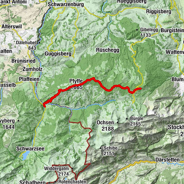
Schüpfeflue (1,721 m)3.8 kmGäggersteg7.1 kmGägger (1,635 m)7.3 kmPfyffe (1,665 m)8.2 kmHuuryiplatz8.6 kmCheesere Höhle8.7 kmRestaurant Zollhaus15.7 kmZollhaus15.8 km
- Best season
-
JanFebMarAprMayJunJulAugSepOctNovDec
- Description
-
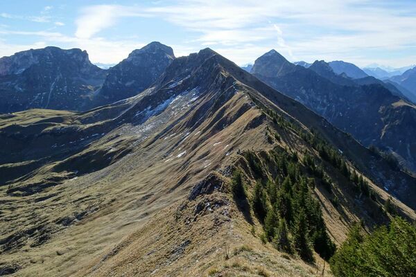
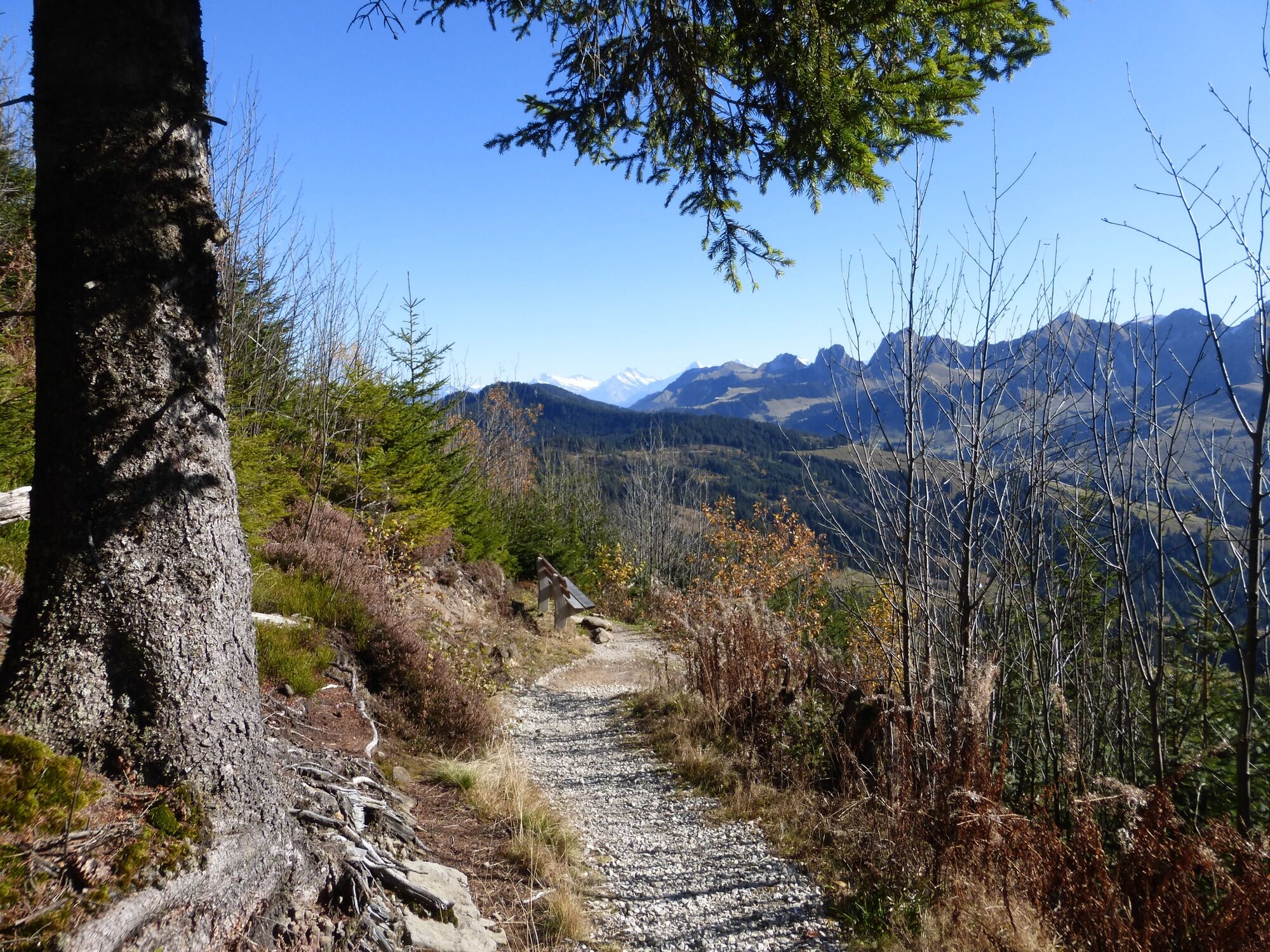
The trail is signposted as Gantrisch Panoramaweg throughout, and the destination Zollhaus is indicated on the guidepost at the start location Gurnigel mountain lodge. This makes it easy to locate the trail – another key factor for an enjoyable hike. The route initially follows an alpine road which offers wonderful views onto Lake Thun, Eiger and Mönch. The Jungfrau, the third peak of the famous mountain trio, is hidden by the Stockhorn range. After crossing an alpine pasture, the path leads steadily uphill through woodlands, passing Selibüelsattel to reach Schüpfenflue. From here, there's a magnificent view onto the central plateau and the Jura mountains. On very clear days, you can see as far as the Black Forest. To the south, the peaks of Nünenen, Gantrisch, Bürglen and Ochsen are lined up.
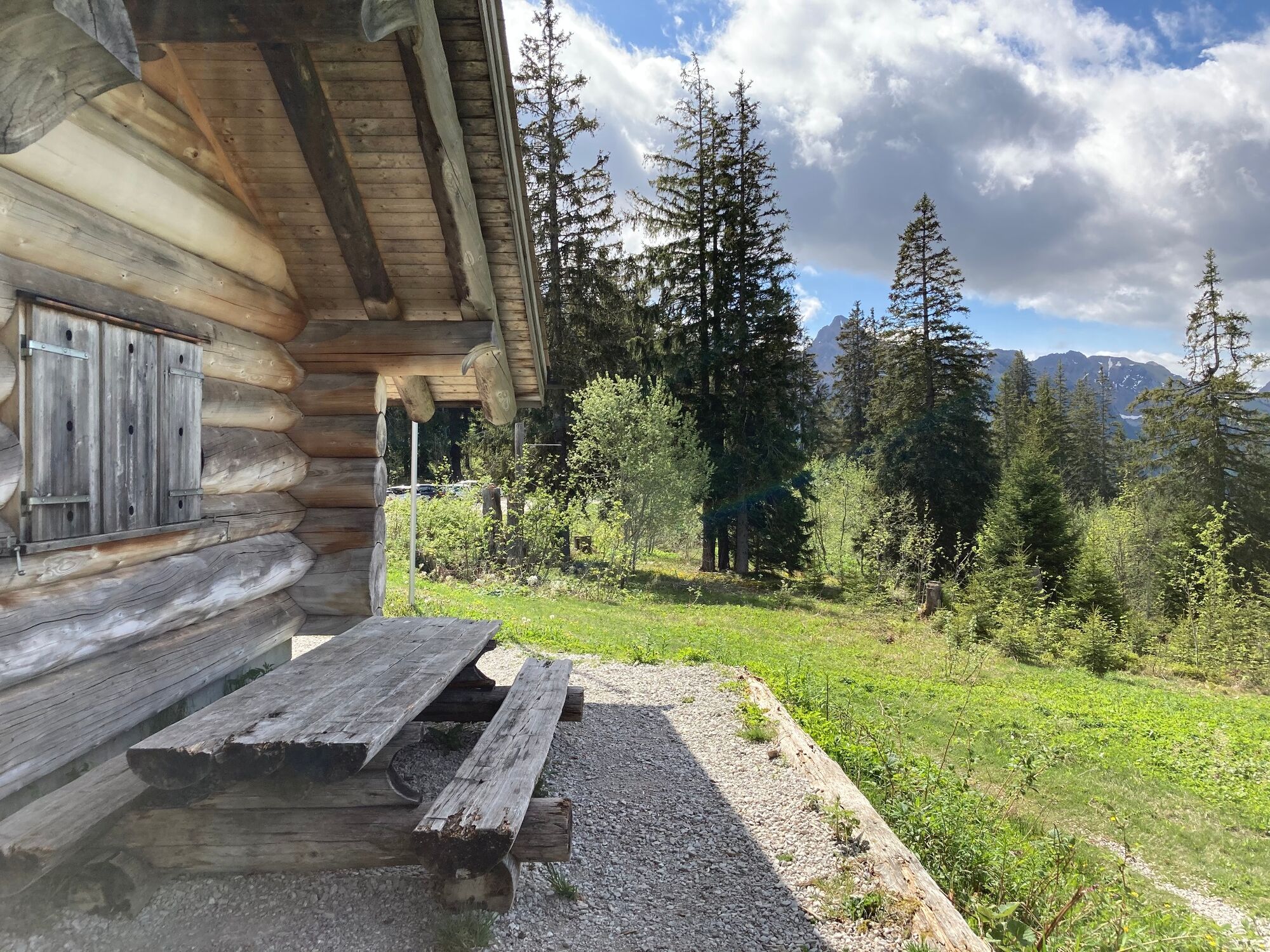
After an initial steep section, the trail descends more leisurely across Süftenenegg to the Süftenen mountain hut. The next stretch is particularly delightful. Storm Lothar caused extensive damage to the forests in this area, but now the woodlands are regrowing. A raised board walk, the Gäggersteg, affords lovely views across the young trees. Along a crest with expansive vistas, the trail then leads up to Pfyffe, the Horbüel pass and Oberi Hällstett. From here, the view opens onto the Schwarzsee, Plaffeien and the western central plateau. A viewpoint indicator helps with pinpointing individual peaks. An extended descent leads via Martene to the destination at Zollhaus. The short final section after the bridge across the Sense lies in canton Fribourg.
- Highest point
- 1,709 m
- Endpoint
-
Zollhaus
- Height profile
-
 © outdooractive.com
 - Equipment
-
We recommend the following equipment: Lightweight hiking shoes, small rucksack, sun protection, rain jacket, pocket first aid kit, light picnic, plenty of fluids, mobile phone.
- Public transportation
-
How to get there: Train to Schwarzenburg, then onward by bus to Gurnigel, exit at Berghaus
Return: Train from Zollhaus FR to Fribourg


-

-
AuthorThe tour Gantrisch Panoramic Trail is used by outdooractive.com provided.

General info
-
Region Murtensee & Broye
576
-
Naturpark Gantrisch
459
-
Rüschegg
153