
- Brief description
-
This glorious riverside hike leads through one of Switzerland’s most beautiful riparian landscapes and gives views over the Bernese Alps. The destination is Thun, the town on the Aare and on the lake, the gateway to the Bernese Oberland.
- Difficulty
-
medium
- Rating
-
- Starting point
-
Münsingen, Parkbad (523 m)
- Route
-
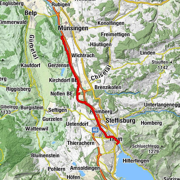
Münsingen (541 m)Landgasthof Thalgut4.2 kmJaberg (540 m)6.2 kmUttigen (544 m)10.0 kmKaliforni13.3 kmAarefeld13.8 kmThun (560 m)16.0 km
- Best season
-
JanFebMarAprMayJunJulAugSepOctNovDec
- Description
-
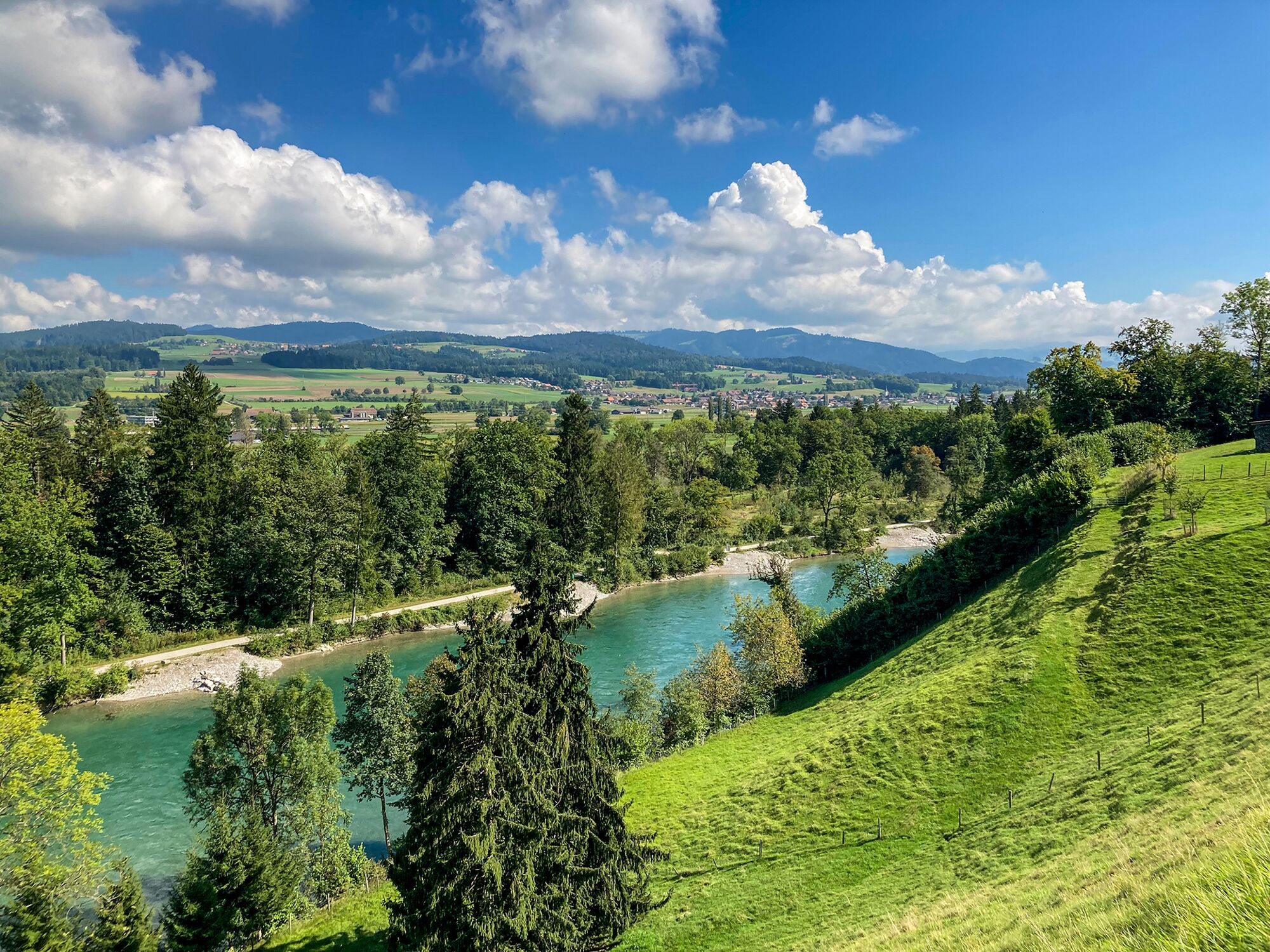
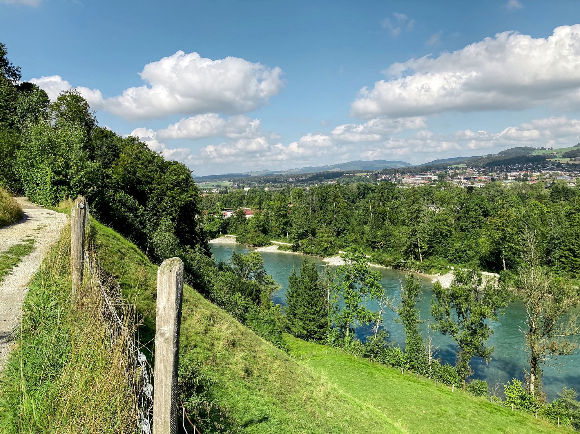
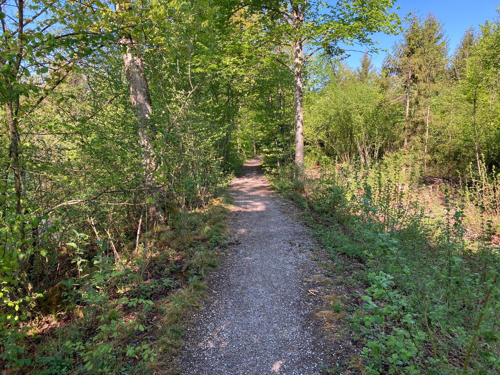
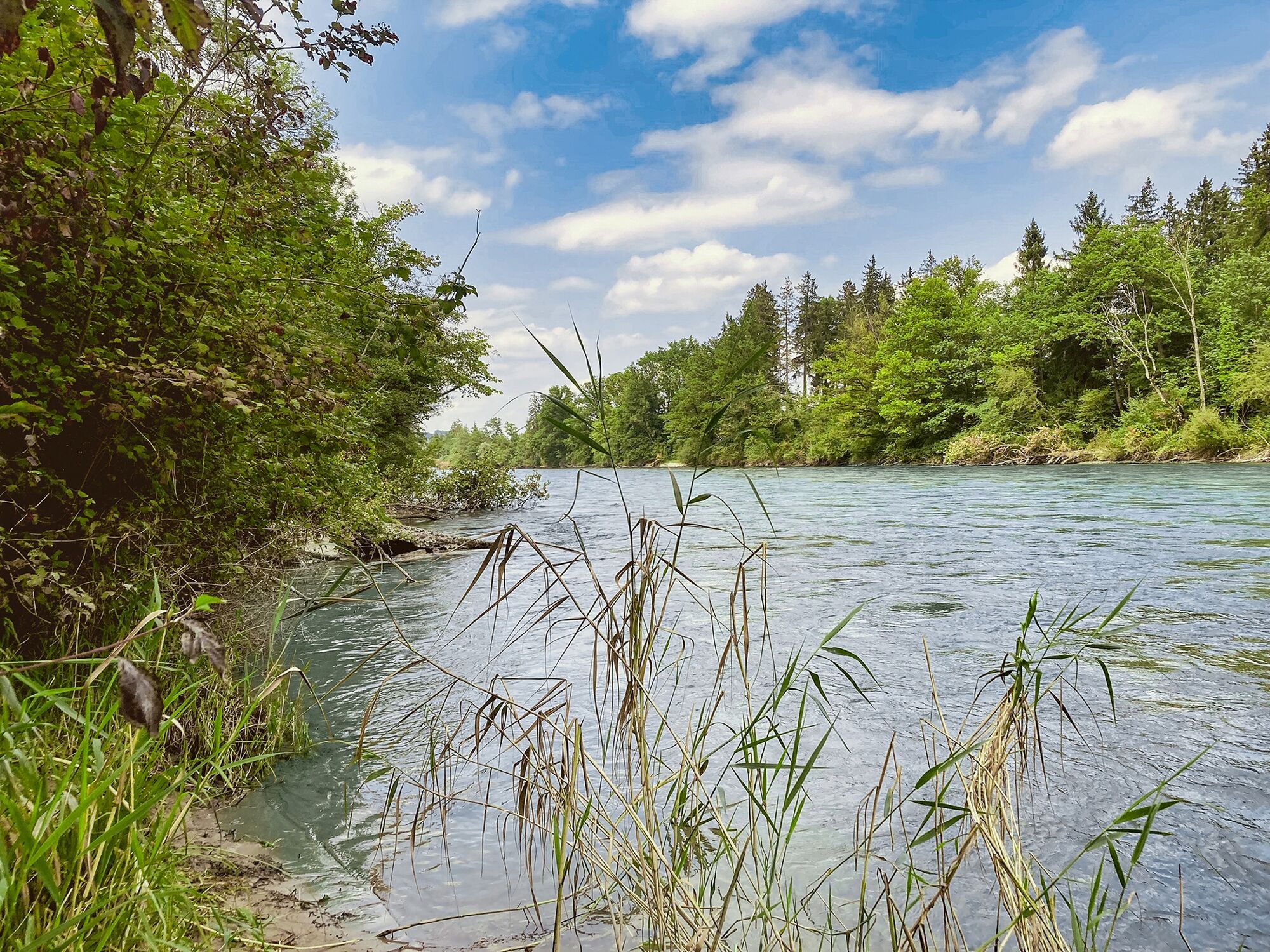
Past Bad Münsingen, the trail goes over Schützenfahrbrügg to the opposite bank of the Aare. The hike begins above the Aare on the slope of the Belp mountain. Past Neumatt farmstead, it goes to Heimwesen Ochsematt, with breathtaking views into the Aare landscape and to the Bernese Alps. The descent at Hof Breitenried is gentle and the following stretch along the bank is wild. You will encounter riverside forests, rapids, sandy bays and reed beds. The gentle footpath leads to the Thalgut restaurant. The riverside path that leads to just before Jaberg begins again behind the restaurant. It crosses over the Jabergbrücke to the opposite bank of the Aare. The route to the mouth of the Rotache leads through a natural riverside landscape where you can spot common sandpipers, little ringed plovers and white-throated dippers. The footbridge over the Rotache is a little inland and you also have to take a short detour to cross under the railway line. The route crosses the Aare again at the railway bridge at Uttigen. The hiking trail goes along the Obere Au, a woodland area used by the army, to the Aare Dam. You reach Kaliforni past the memorial stone for the Kander Correction and across the Aarefeldsteg. Thun Castle soon proudly marks the destination of the hike. Past Schwäbis River Pool you reach Thun Old Town and the gateway to the Bernese Oberland.
For centuries, the only inn on the Aare between Thun and Bern was in Thalgut. There was also a popular medicinal bath for preventing rheumatism and gout. The Thalgut bath was mentioned for the first time in 1480. Its old name was “Zum Schiff”. The river was a busy waterway out of the Oberland, with sailors and raftsmen stopping by the inn.
The Kander originally flowed through Thuner Allmend before joining the Aare between Thun and Uttigen. It repeatedly caused this flat area to flood. The Kander was therefore diverted into Lake Thun at the beginning of the 18th century.
The names Amerika-Egge and Kaliforni appear on the Aare at Uetendorf and Heimberg. But don’t worry, you haven’t taken a wrong turn. A possible explanation for the unusual place names could be that residents from this area once emigrated to America.
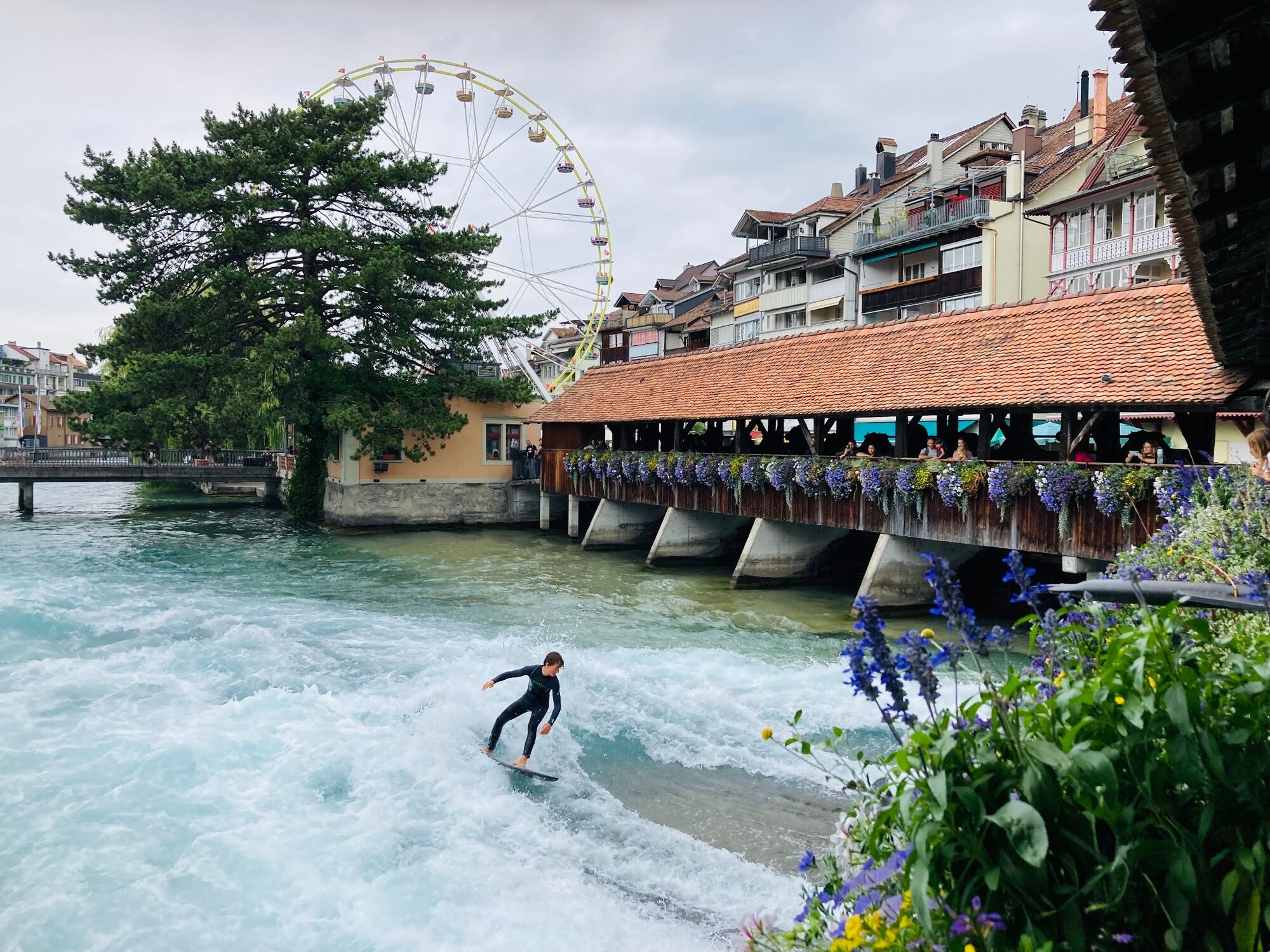
Schwäbis River Pool is a small, attractive place. Since 1884, it has provided a comfortable pool atmosphere in a nostalgic setting and an exclusive swimming experience in the Aare along a length of 175 metres.
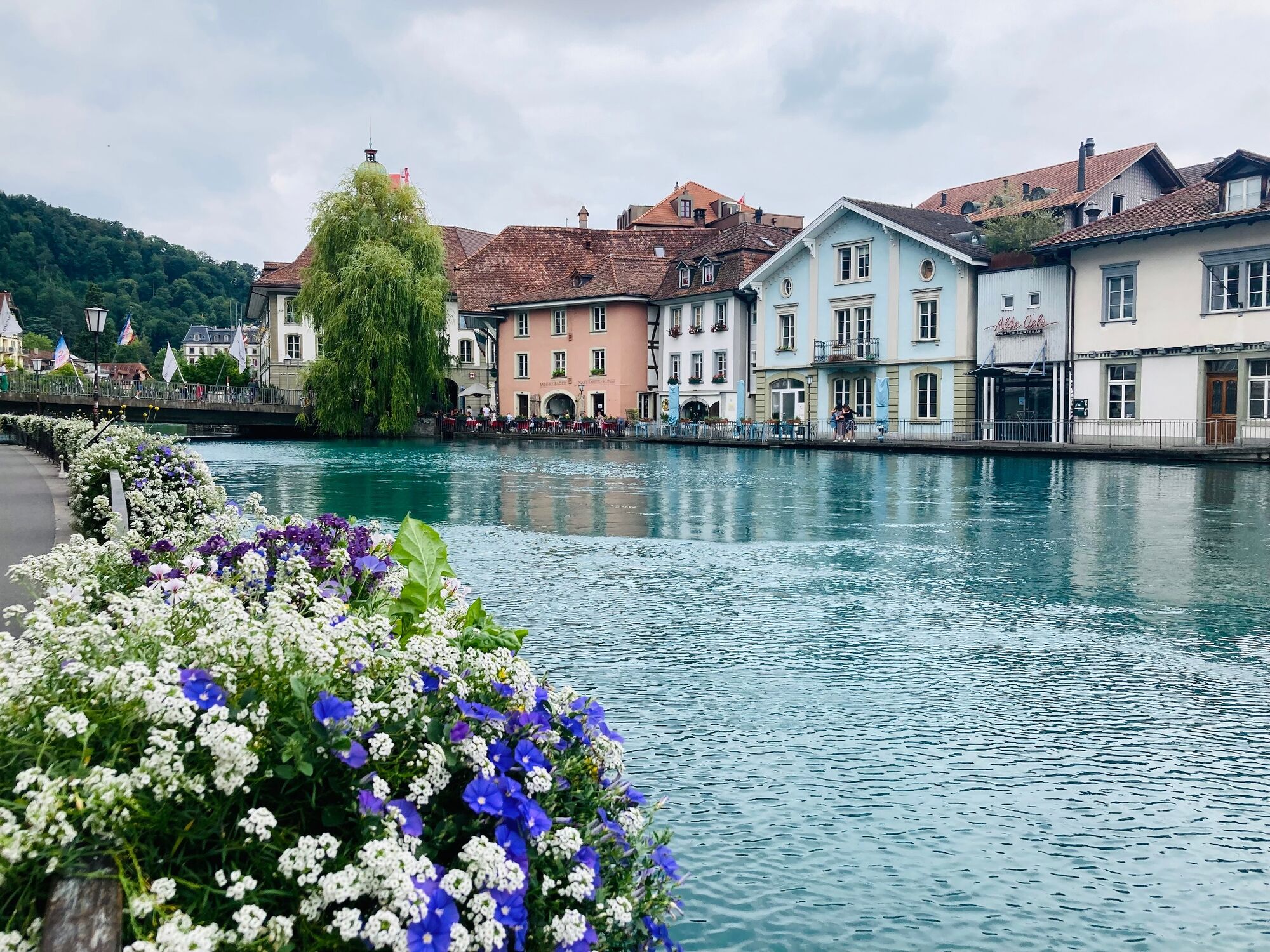
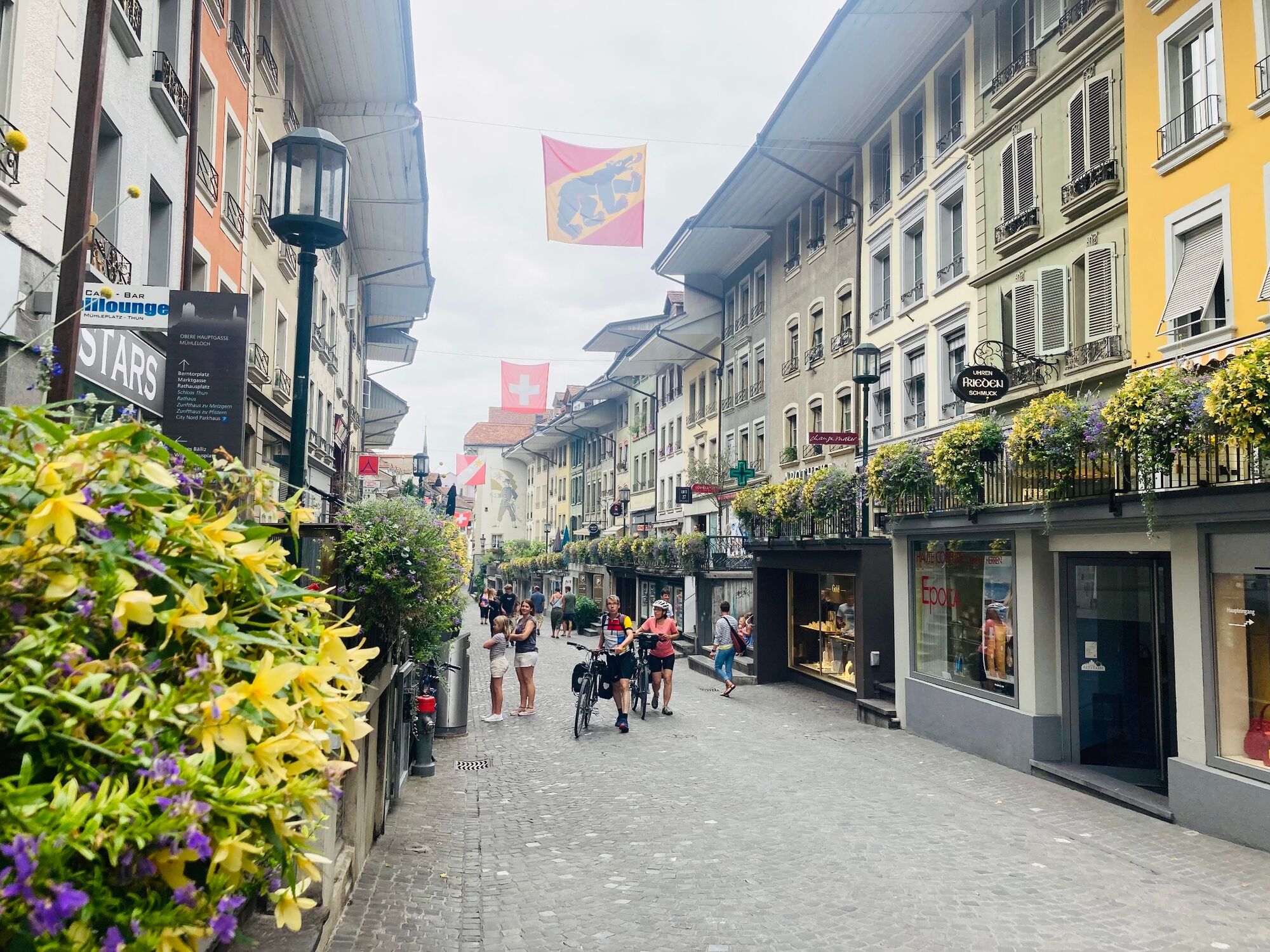
In the town of Thun you can stroll through picturesque lanes and relax in numerous cafés on the Aare. Thun is the gateway to the Bernese Oberland and the ideal starting point for all kinds of trips and experiences.
- Highest point
- 562 m
- Endpoint
-
Thun, railway station
- Height profile
-
 © outdooractive.com
 - Equipment
-
We recommend the following equipment:
Lightweight hiking boots, lightweight rucksack, sun protection, rain jacket, pocket first-aid kit, light picnic, sufficient fluids, mobile phone.
It is also possible to book baggage transport from stage accommodation to stage accommodation at short notice via Eurotrek. Info and conditions at Eurotrek.ch
- Safety instructions
-
This stage exclusively follows marked routes in the hiking trail category.
- Tips
-
Accommodation tip - Münsingen: Hotel Ochsen, Bernstrasse 2, 3110 Münsingen, Tel. + 41 (0) 31 721 10 09, info@ochsen-muensingen.ch, www.ochsen-muensingen.ch
Accommodation tip - Thun: Hotel Freienhof, Freienhofgasse 3, 3600 Thun, Tel. + 41 (0) 33 227 50 50, info@freienhof.ch, www.freienhof.ch
Shopping: Various shops in Münsingen and Thun. No shops en route.
- Additional information
-
ViaBerna is a multi-day hike made up of 20 stages that takes you from Bellelay straight through the canton of Bern to Susten Pass. Hikers on the trail get to experience the diversity of the canton of Bern in Jura, Mittelland and in the Bernese Alps. The entire distance is signposted with route number 38.
You can find information about the ViaBerna multi-day hike at viaberna.ch
- Directions
-
By private car to Münsingen Badi/Parkbad.
Return to Münsingen by train from Thun railway station. On foot or by bus to Münsingen Badi.
- Public transportation
-
Getting there: by train to Münsingen. Then by local bus to Münsingen Badi or Münsingen Allmendweg.
Coming back: by train from Thun railway station.
- Parking
-
Chargeable parking at Badi/Parkbad.
-

-
AuthorThe tour ViaBerna - stage 10 Münsingen - Thun is used by outdooractive.com provided.


General info
-
Biel Seeland
782
-
Eriztal
970
-
Uttigen
200