© Tourenplaner SCHWEIZ - Jochen Ihle

© Tourenplaner SCHWEIZ - Jochen Ihle

© Tourenplaner SCHWEIZ - Jochen Ihle

© Tourenplaner SCHWEIZ - Jochen Ihle

© Tourenplaner SCHWEIZ - Jochen Ihle

© Tourenplaner SCHWEIZ - Jochen Ihle

© Tourenplaner SCHWEIZ - Jochen Ihle

© Tourenplaner SCHWEIZ - Jochen Ihle

© Tourenplaner SCHWEIZ - Jochen Ihle

© Tourenplaner SCHWEIZ - Jochen Ihle

- Brief description
-
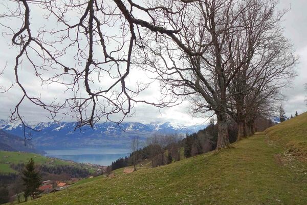
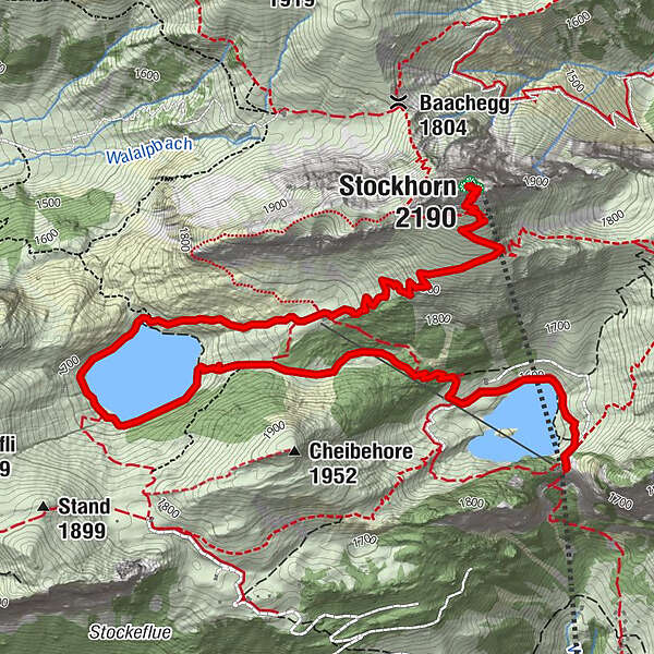
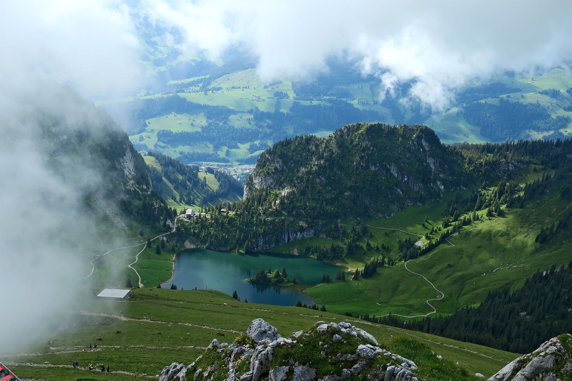
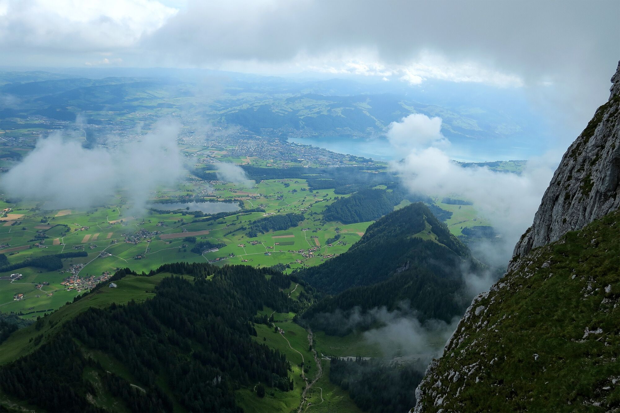
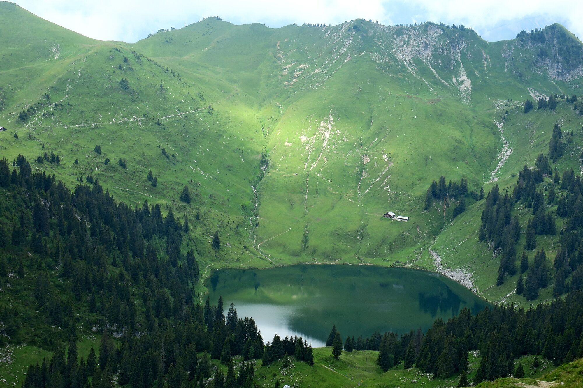
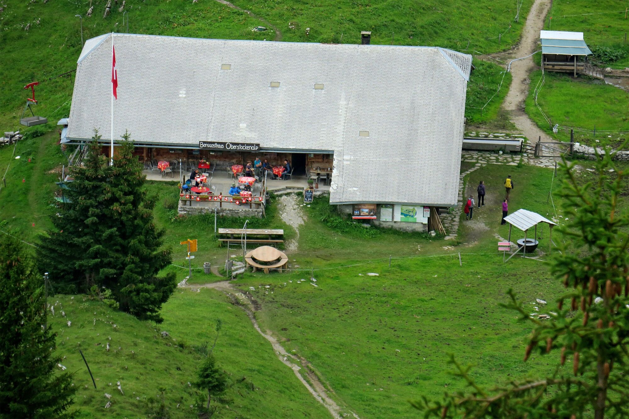
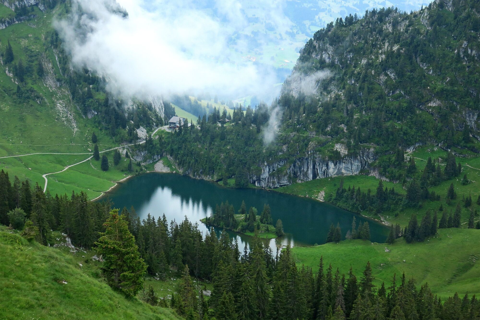
Diese beliebte Berner Oberländer Wanderung führt vom Aussichtsberg Stockhorn hinunter zum Berggasthaus Oberstockenalp und vorbei an den beiden Stockenseen zur Mittelstation Chrindi.
- Difficulty
-
easy
- Rating
-
- Route
-
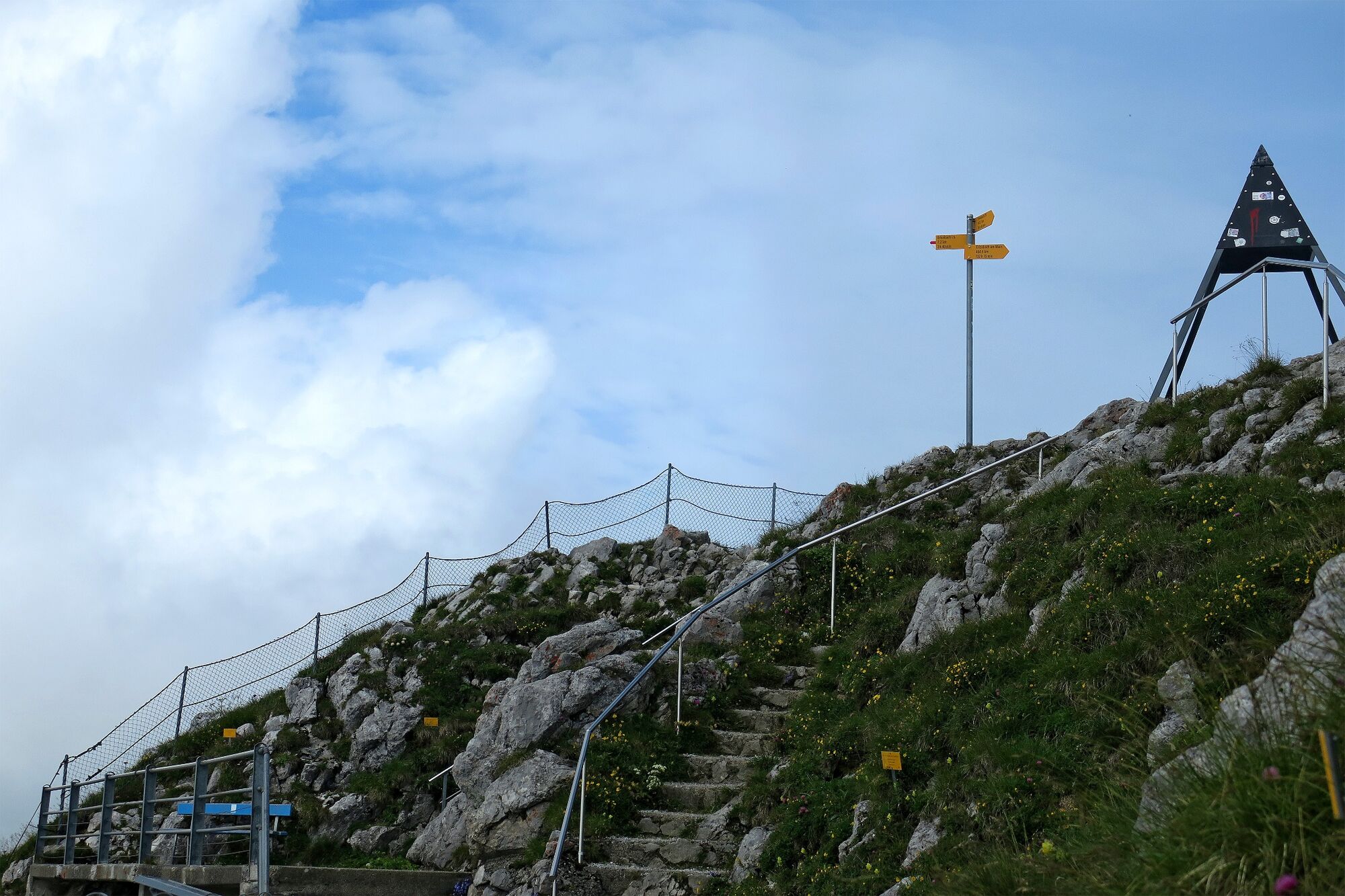
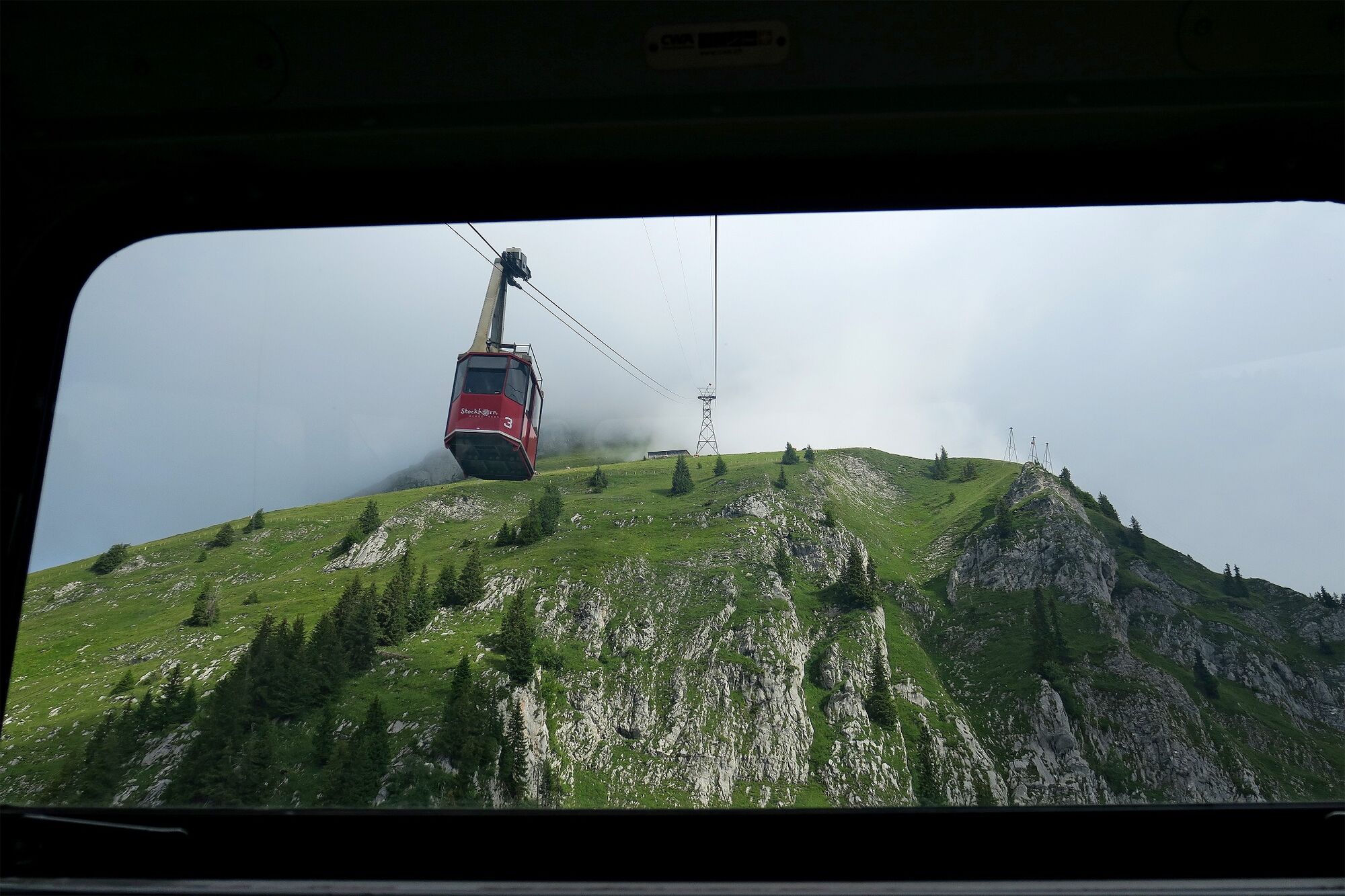
Stockhorn Panorama Restaurant0.0 kmStockhorn (2,190 m)0.2 kmBerggasthaus Oberstockenalp2.0 kmChrindi (1,649 m)6.1 km
- Best season
-
JanFebMarAprMayJunJulAugSepOctNovDec
- Highest point
- 2,175 m
- Endpoint
-
Stockhorn, Mittelstation Chrindi.
- Height profile
-
 © outdooractive.com


-

-
AuthorThe tour Vom Stockhorn zur Mittelstation Chrindi is used by outdooractive.com provided.
GPS Downloads


General info
Refreshment stop
Cultural/Historical
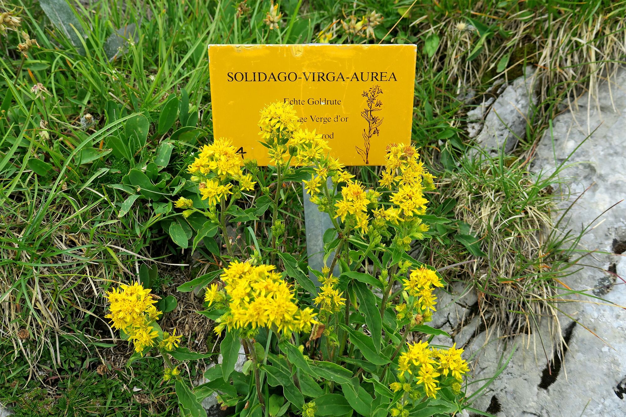
Flora
Fauna
A lot of view
Other tours in the regions