


- Brief description
-
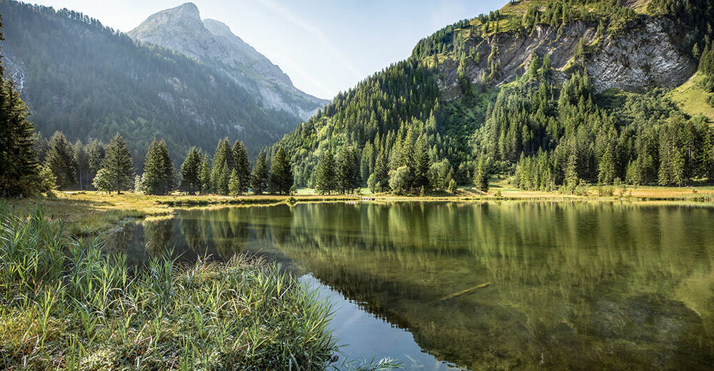
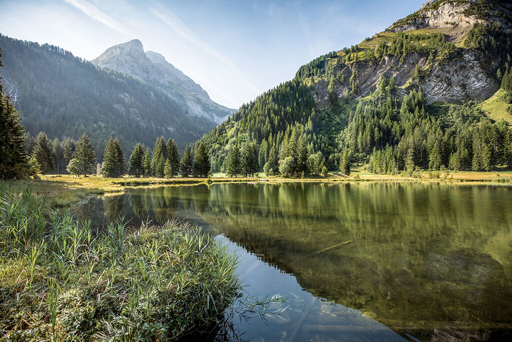
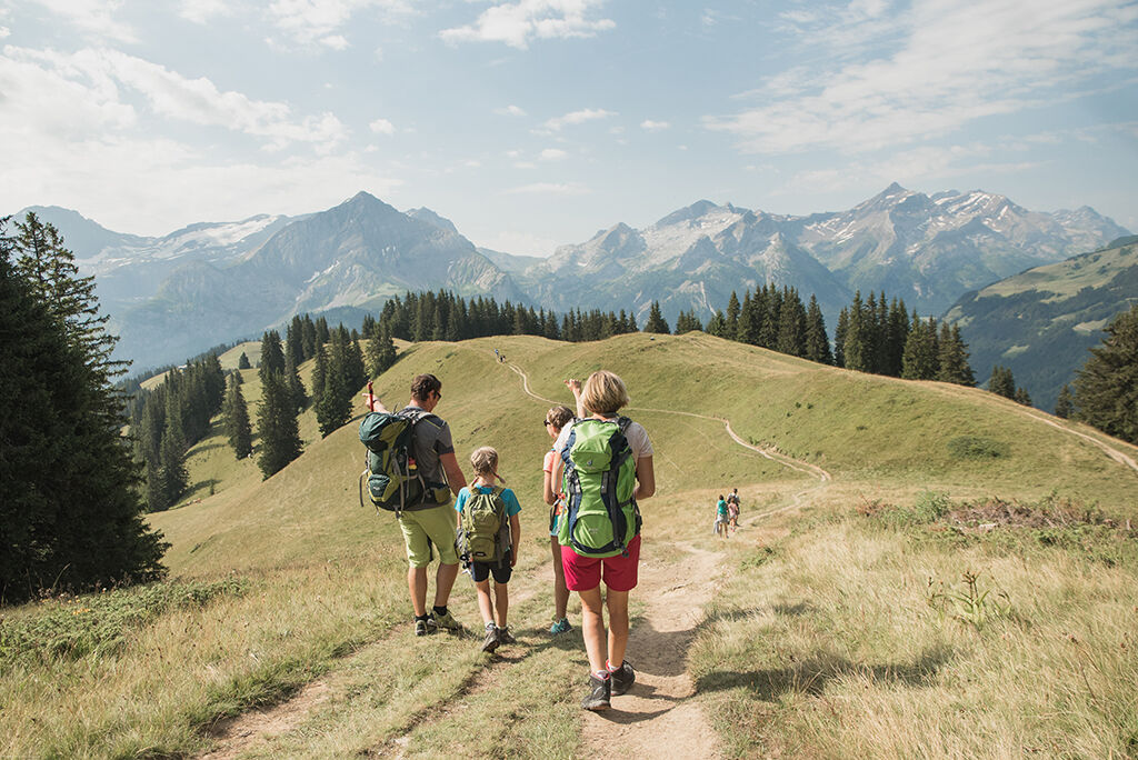
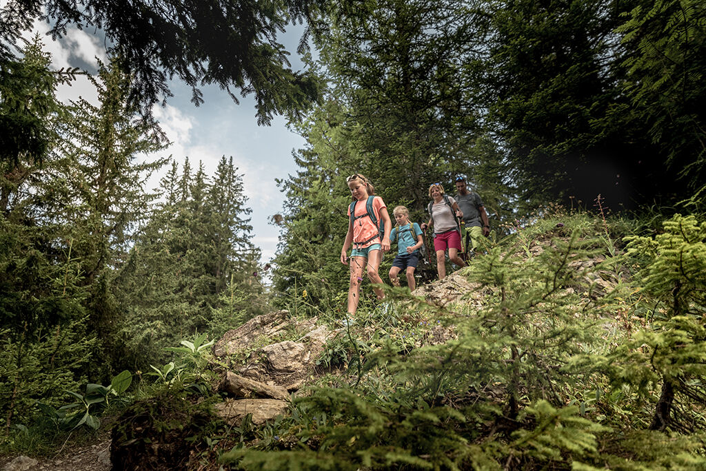
Hike along the Wispile mountain ridge and enjoy the great view over the Saanenland with sight to our high peaks. At the end of the trail, the famous Lake Lauenen awaits you.
- Difficulty
-
medium
- Rating
-
- Starting point
-
Gstaad, station of the cable car Höhi Wispile
- Route
-
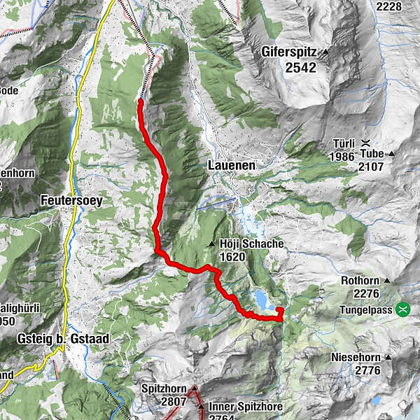
Berghaus Wispile0.0 kmWispile0.3 kmMattenstübli Beizli9.0 kmBühlhaus Lauenensee9.3 km
- Best season
-
JanFebMarAprMayJunJulAugSepOctNovDec
- Description
-
With the cable car you comfortably reach the mountain restaurant Wispile (1907 m) where the hiking trail start. Follow always the highest point of the ridge and enjoy the great view over the Saanenland. At Chrinetritt the path goes steeply downhill to Chrinepass (1659 m). Once there you have another ascent of about 100 meters in altitude and you finally reach the trail in direction Lake Lauenen (1381 m). On the downhill hiking trail you arrive at the nature reserve of Lake Lauenen. The bus takes you back to Gstaad. You may also walk to Lauenen village (+ ca. 1h) and take the bus there.
Note(s)
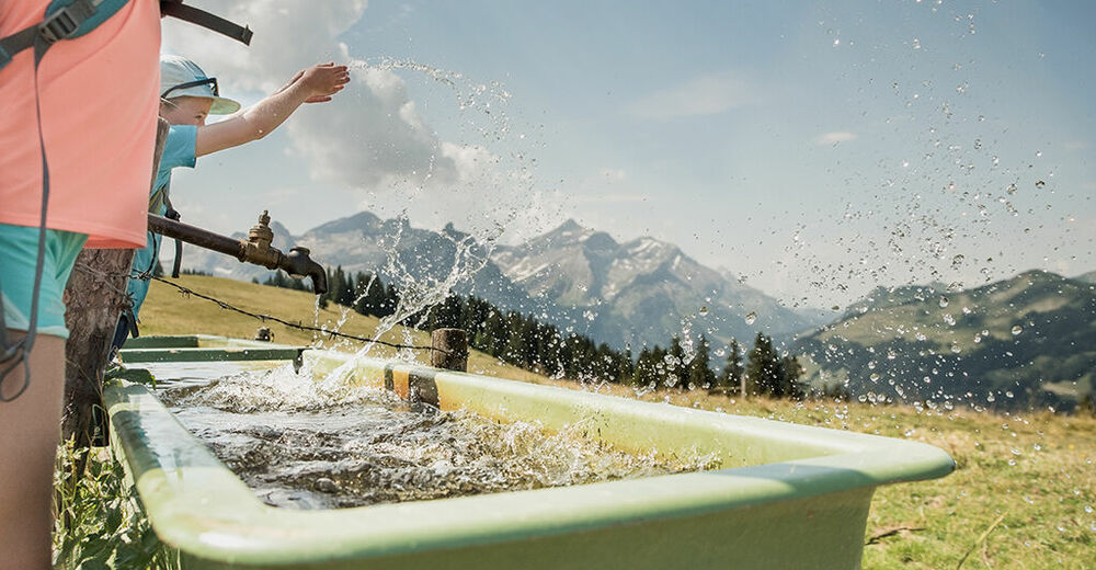
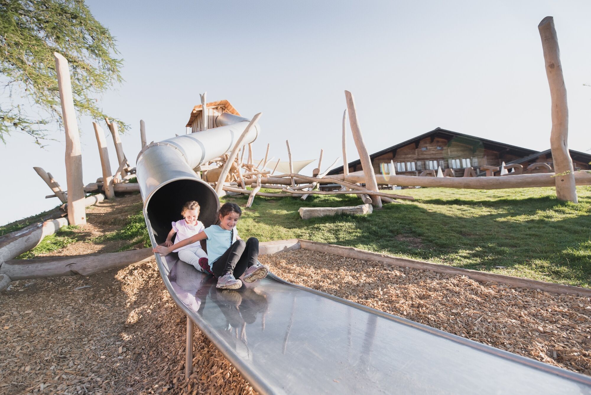
At Wispile it has an petting zoo and playgrounds for the kids.
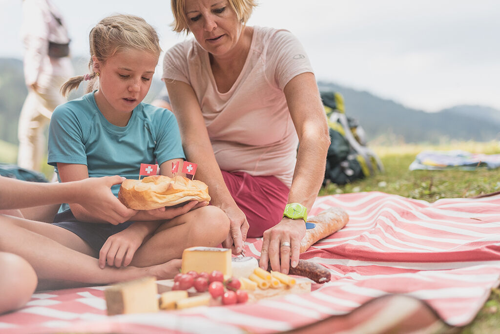
Vorderi Wispile fondue pot: Approx. 40 min. from the mountain station Wispile, on the hiking trail Wispile-Chrine-Gsteig.
Please take note of the operating dates for lifts and cable cars.
Get a round-trip ticket for this tour. More informations on www.gstaad.ch. - Directions
-
Gstaad - mountain station Höhi Wispile - Höhi Wispile - Chrinepass - Lake Lauenen
- Highest point
- 1,916 m
- Endpoint
-
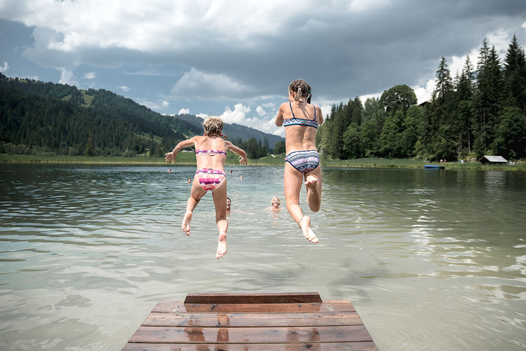
Lake Lauenen
- Height profile
-
 © outdooractive.com
 - Equipment
-
Good footwear, snacks to savor during a break - why not a Fondue-Backpack?
- Safety instructions
-
At the descent from Wispile to Chrine-Pass we recommend to take the path on the right. The path on the left is steep and only suited for exercised hikers.
- Tips
-
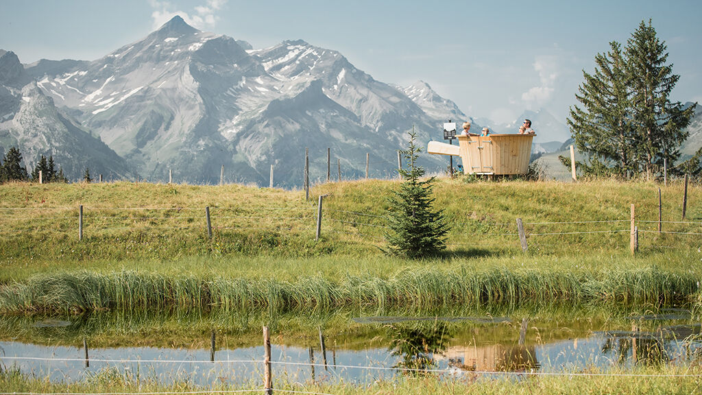
Enjoy a Fondue in the inordinately large fondue pot with a beautiful view on the surrounding mountains.
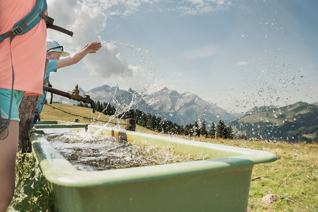
Certain sections of this hike are very suitable for walking barefoot. Take off your shoes there and try to feel and experience the underground with bare feet.
- Additional information
-
Please pay attention to the Bus-timetable from Lauenensee back to Gstaad.
- Directions
-
The Destination Gstaad is located in the south-west of Switzerland right on the border to the French-speaking part of the country. The Destination is easily accessed by rail or car from the regions around Lake Thun and Lake Geneva and the Gruyere region Direct connections to the European high-speed rail network and all international airports in Switzerland guarantee a time-saving and pleasant journey. The main means of transport in the destination of Gstaad are the "MOB" (Montreux-Oberland Bernois) train and numerous post bus lines.
- Public transportation
-
Bus stop: Gstaad, Wispile
- Parking
-
Big parking lot next to the valley station of the Wispile gondola.
-

-
AuthorThe tour Wispile - Chrine - Lauenensee is used by outdooractive.com provided.


General info
-
Thyon les Collons
1444
-
Destination Gstaad
741
-
Lauenen
220


