
- Difficulty
-
easy
- Rating
-
- Starting point
-
Eggweid, middle station Rinderberg
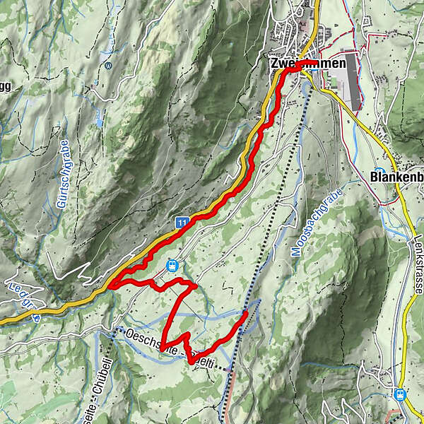
- Route
-
Oeschseite3.2 kmBrasserie Zur Simme8.2 kmZweisimmen8.2 km
- Best season
-
JanFebMarAprMayJunJulAugSepOctNovDec
- Description
-
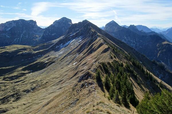
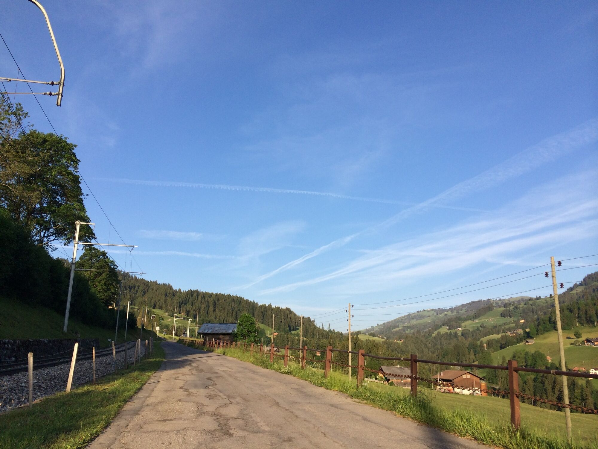
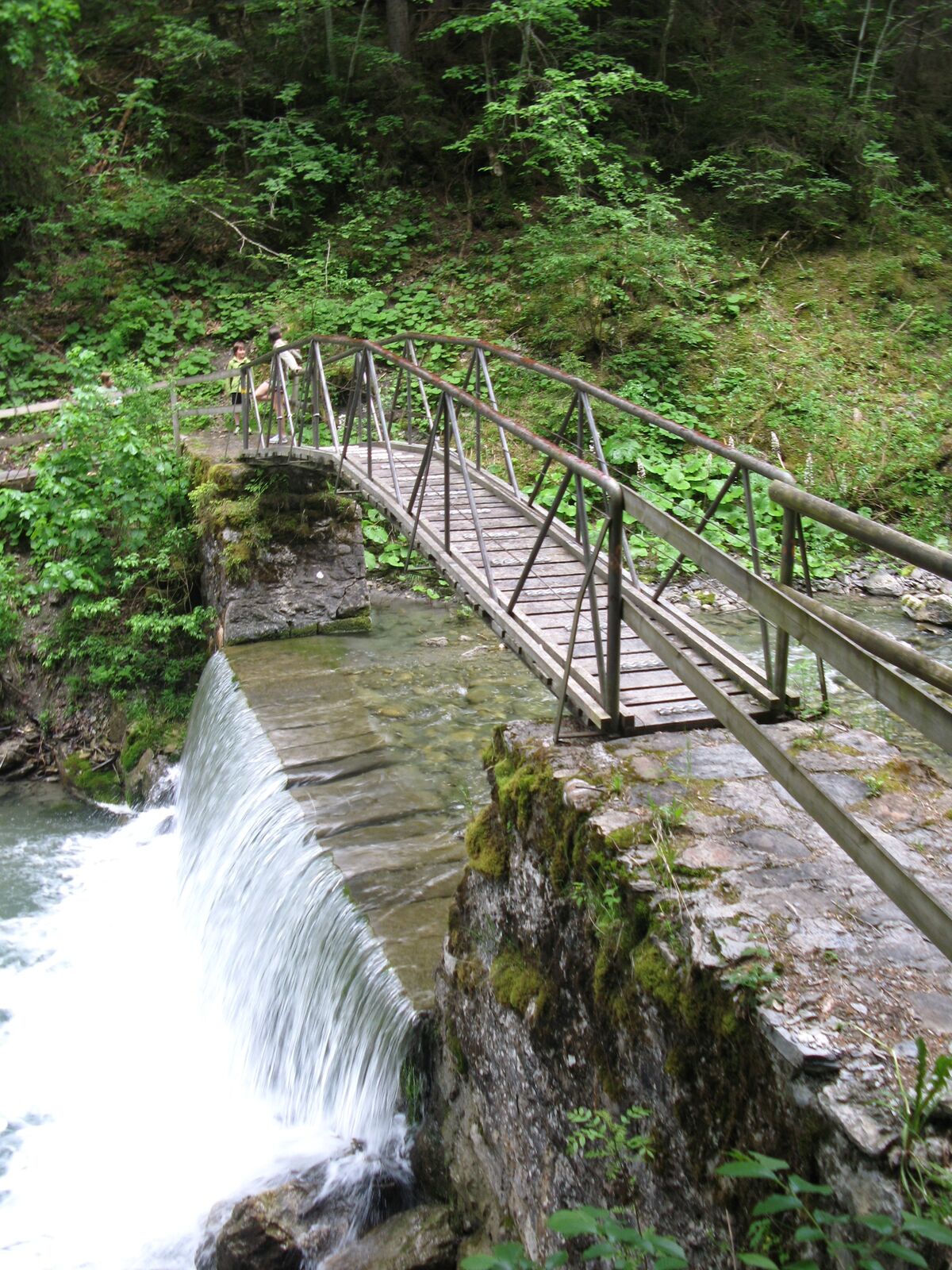
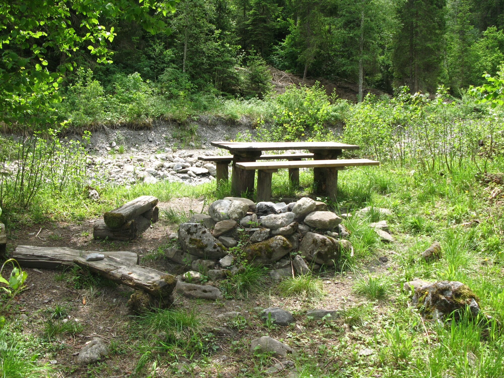
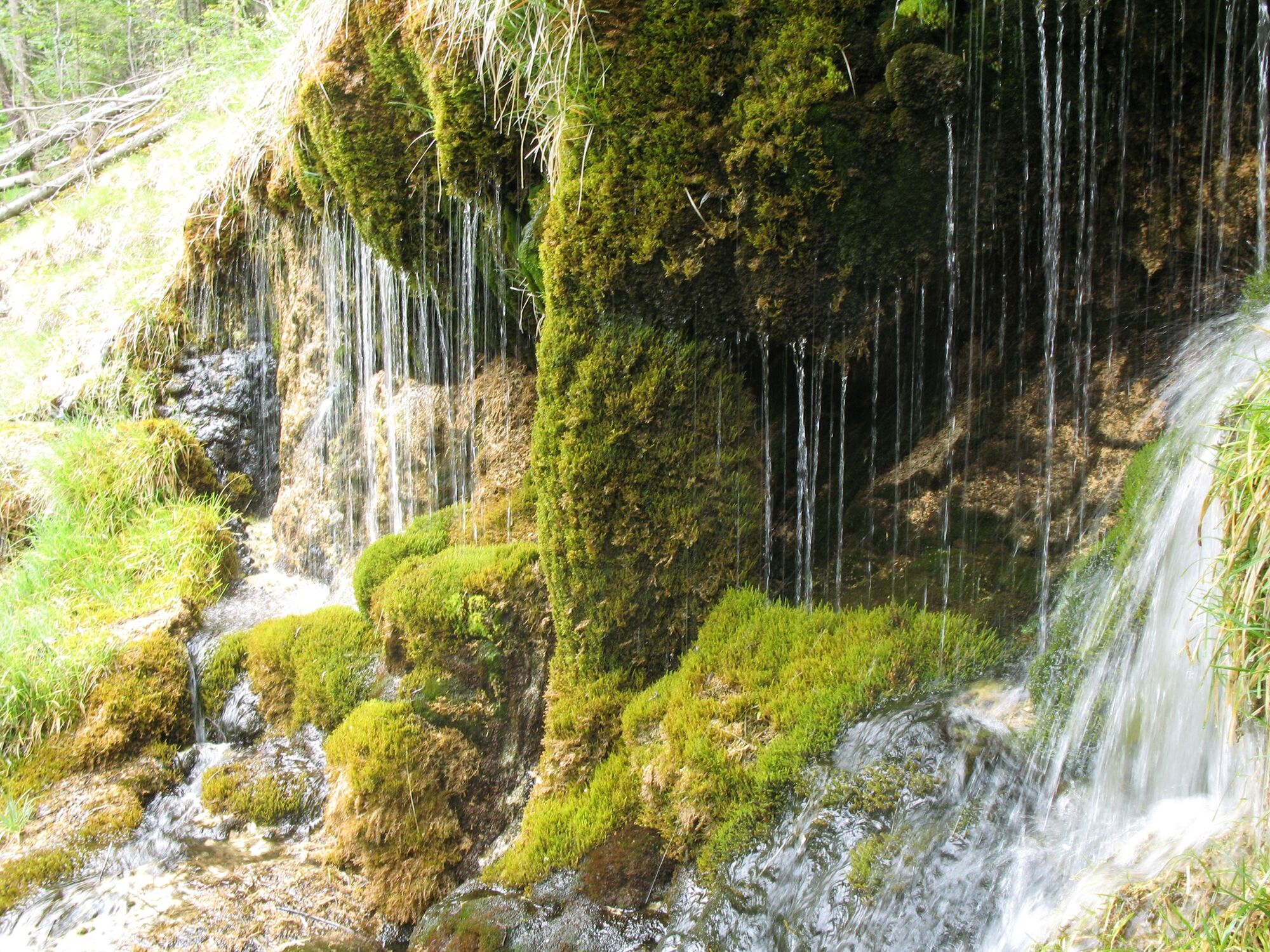
This hike is ideal for families. The cable car takes you to the middle station Eggweid, Rinderberg. The descent to Oeschseite isn't very steep and several wooden sculptures can be admired. Along the river in direction to Zweisimmen you can find some campfire sites.
- Directions
-
Rinderberg Talstation - Eggweid Mittelstation - Oeschseite - Zweisimmen
- Highest point
- 1,475 m
- Endpoint
-
Zweisimmen
- Height profile
-
 © outdooractive.com
 - Equipment
-
Good footwear, snacks to savor during a break - why not a Fondue-Backpack?
- Tips
-
High-rope park, Zweisimmen
Open-air pool, Zweisimmen - Additional information
- Directions
-
The Destination Gstaad is located in the south-west of Switzerland right on the border to the French-speaking part of the country. The Destination is easily accessed by rail or car from the regions around Lake Thun and Lake Geneva and the Gruyere region Direct connections to the European high-speed rail network and all international airports in Switzerland guarantee a time-saving and pleasant journey.
- Public transportation
-
By train: Zweisimmen, train station
By bus: Zweisimmen, train station or Zweisimmen, Talst. Rinderberg
- Parking
-
Paid parking at the valley station Rinderberg
-

-
AuthorThe tour Eggweid - Simmegrund - Zweisimmen is used by outdooractive.com provided.
GPS Downloads


General info
Refreshment stop
Other tours in the regions
-
Alpes Vaudoises
991
-
Lenk-Simmental
744
-
Zweisimmen
244