
© Jungfraubahnen Management AG - Achim Schneider
© Jungfraubahnen Management AG - Achim Schneider
© Jungfraubahnen Management AG - Achim Schneider


- Rating
-
- Starting point
-
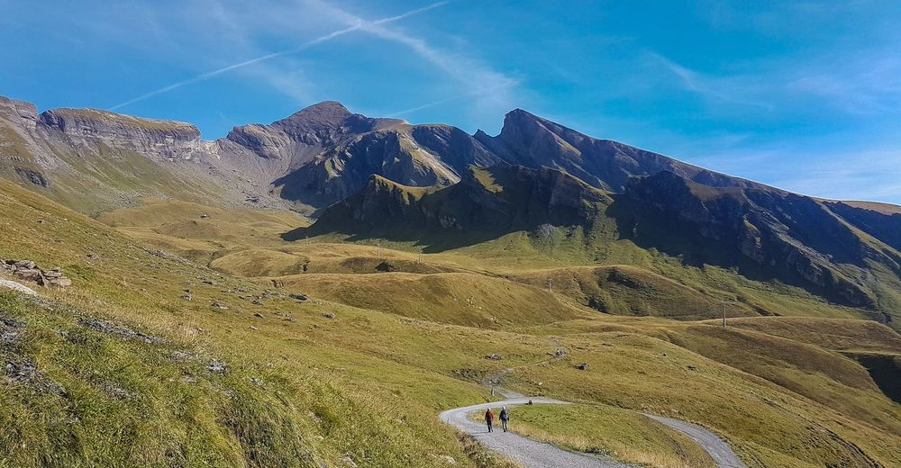
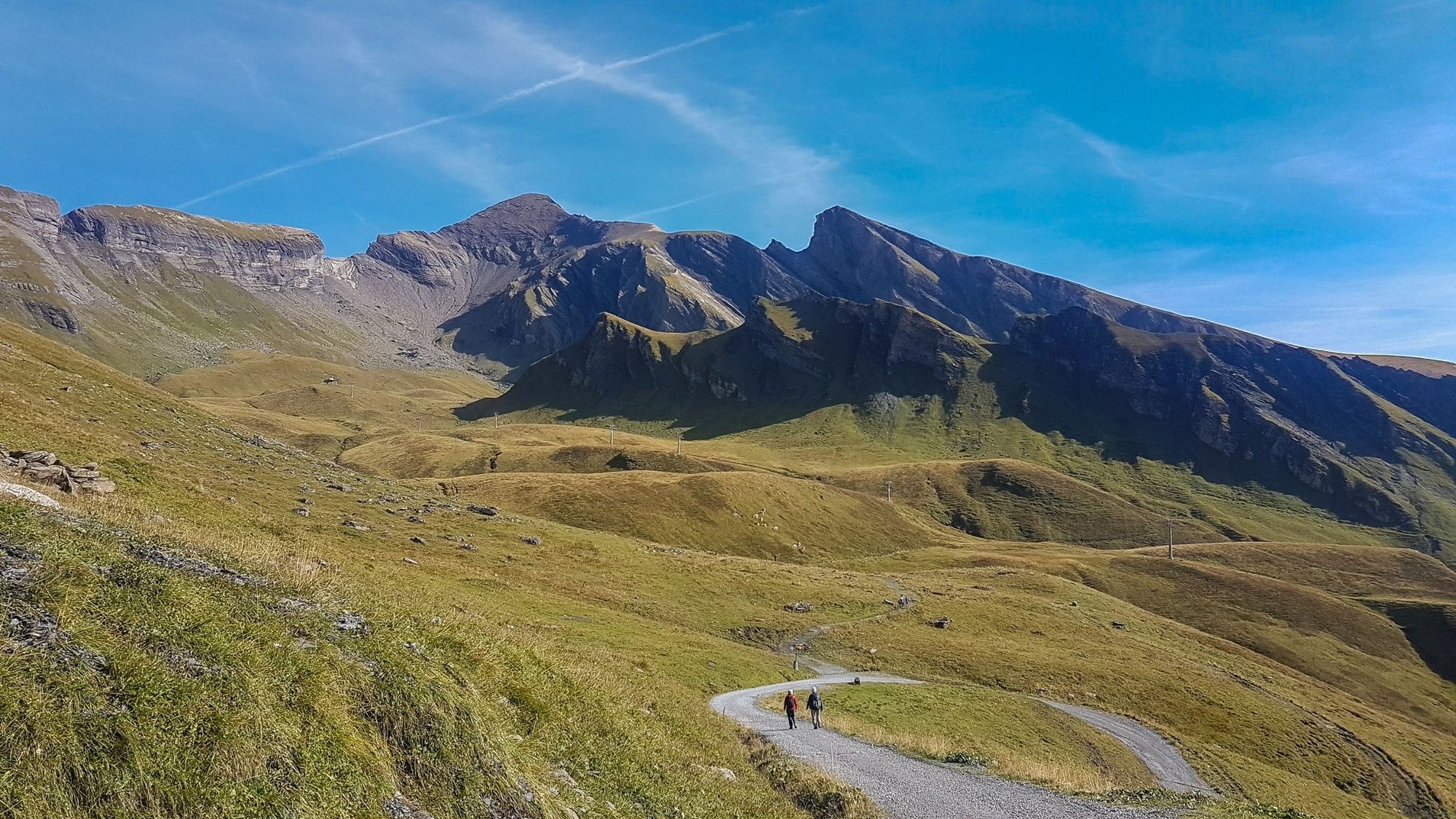
Grindelwald, First
- Route
-
First0.0 kmSchwarzhoren (2,927 m)4.2 kmFirst8.4 km
- Best season
-
JanFebMarAprMayJunJulAugSepOctNovDec
- Description
-
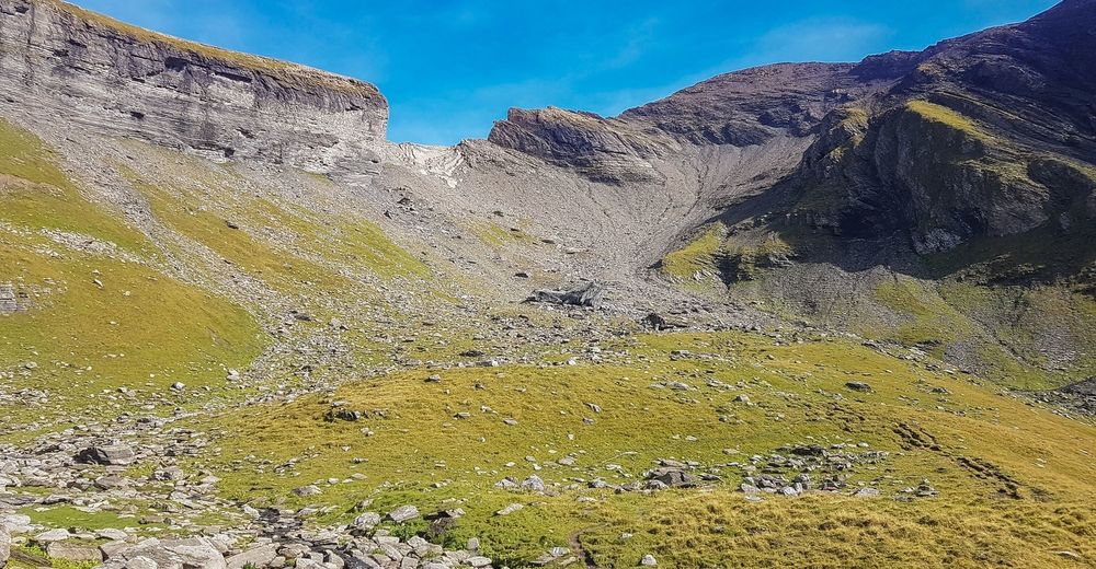
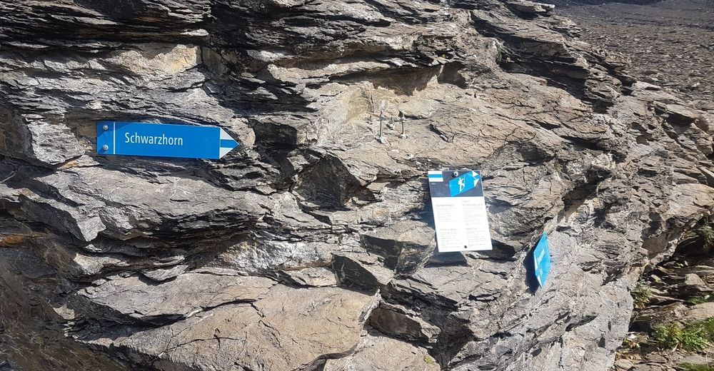
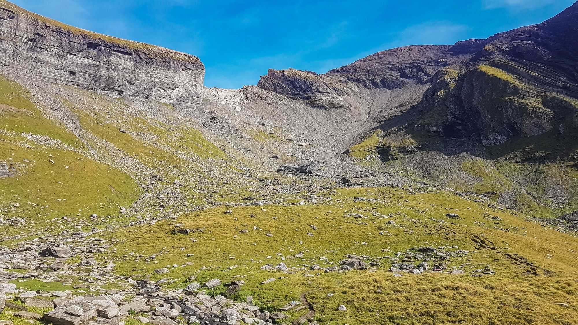
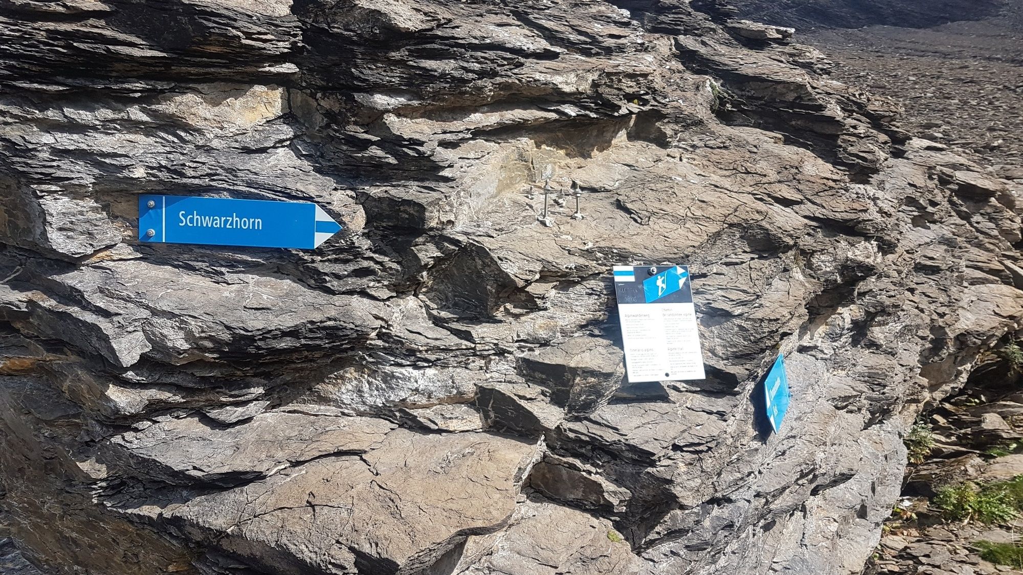
At 2928 m, the Schwarzhorn is the highest peak on the northern edge of the pre-alpine mountains near Grindelwald. This challenging hike, which is only suitable for sure-footed hikers accustomed to the mountains who do not have vertigo, crosses the mountain path that is well-marked from the Schilthorn. Navigating the uppermost part of the very steep climb is tricky - the ridge between Gemschberg and Schwarzhorn is wide at times but also sometimes very narrow and requires extreme caution. For experienced hikers, the path via Grosse Chrinne and along the western ridge is the optimal ascent to the Schwarzhorn. Those who choose this option get the benefit of an airy climbing atmosphere. Less-experienced climbers can book this tour at the Grindelwald mountain climbing centre which offers the experience twice a week under the expert leadership of a mountain guide. The effort of the climb is rewarded in both cases with an overwhelming panoramic view of central Switzerland, the Bernese Oberland East and the Bernese Alps. This tour is not held in fog and bad weather.
- Directions
-
First - Schwarzhorn - First
- Highest point
- 2,918 m
- Endpoint
-
First, Bergstation Gondelbahn Grindelwald-First
- Height profile
-
 © outdooractive.com
 - Equipment
-
Normal hiking equipment, hiking boots with good soles, hiking poles an advantage on uphill and downhill sections.
- Safety instructions
-
In the upper area, portions of the path are exposed and steep. According to the Hüsler scale, the hike is already classified as a via ferrata (K1-2). No refreshments available during the hike. Only
- Additional information
-
Hike 18
(in the printed summer panoramic map of the Jungfrau Railways)
- Author
-
The tour First - Schwarzhorn - First is used by outdooractive.com provided.
GPS Downloads


General info
A lot of view
Other tours in the regions
-
Obwalden
2023
-
Brienzersee
1069
-
Grindelwald - First
397


