- Brief description
-
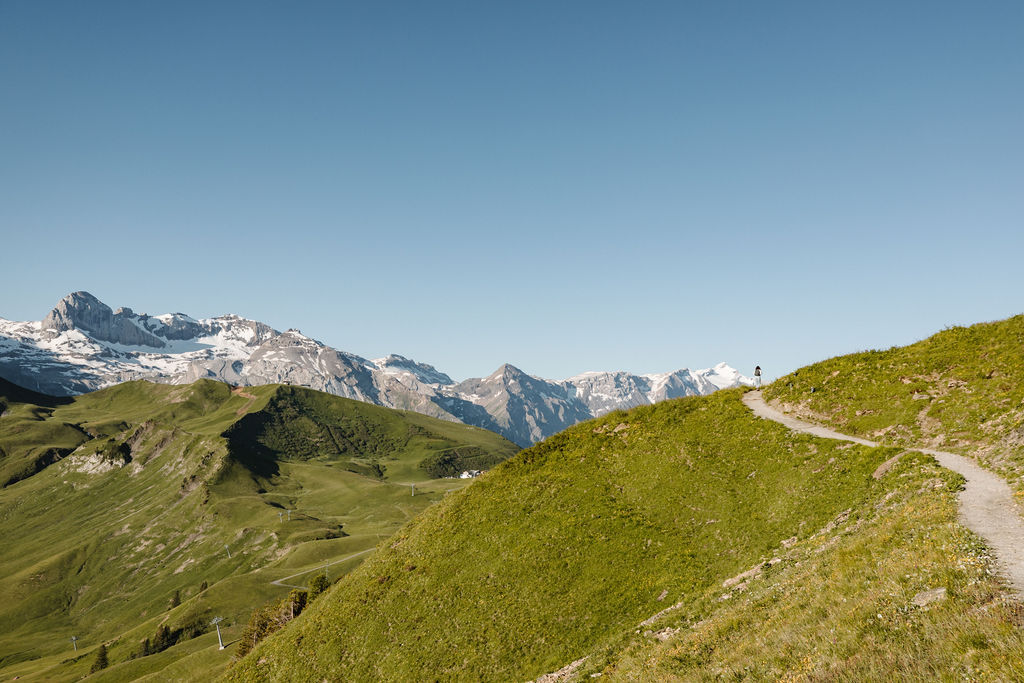
On this lovely route, you can explore the whole end of the valley, from the world-famous Chuenisbärgli all the way to the Sillerenbühl.
- Difficulty
-
medium
- Rating
-
- Starting point
-
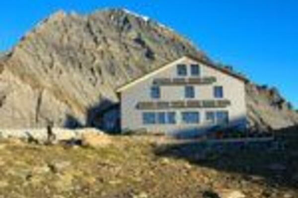
Höchst, can be reached on Sat/Sun by chairlift from Bergläger
- Route
-
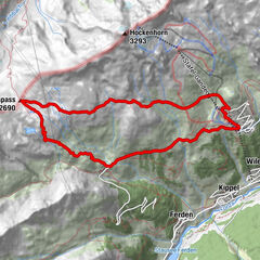
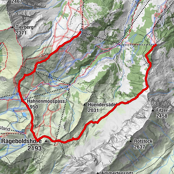
Höchsthorn (1,885 m)0.0 kmTronegg (1,896 m)1.0 kmAlp Trachsel2.5 kmBütschi (1,805 m)2.7 kmLuegli5.1 kmBummerepass (2,055 m)5.9 kmBerghotel Hahnenmoospass7.4 kmHahnenmoospass (1,950 m)7.4 kmSillerenbühl10.6 km
- Best season
-
JanFebMarAprMayJunJulAugSepOctNovDec
- Description
-
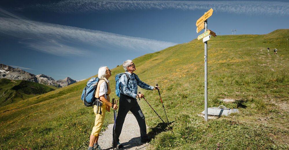
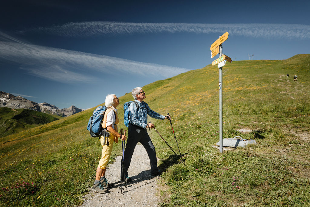
The tour starts at almost 2000 meters above sea level - at the weekend, the chairlift takes you from the Bergläger up to the Höchsthorn, saving you time. Following the mountain flank, hikers first reach the Bütschi and then the Hahnenmoospass with its impressive panorama. After the flower path, the route ends on Silleren. Finally, a fast scooter ride or a comfortable descent by gondola await Sillerenbühl.
- Highest point
- 2,070 m
- Endpoint
-
Sillerenbühl, can be reached on the Silleren cable car
- Height profile
-
 © outdooractive.com
 - Additional information
- Directions
-
By car via Frutigen to Adelboden, Sillerenbahn valley station.
- Public transportation
- Parking
-
Paid parking at the Silleren valley station.
-

-
AuthorThe tour High-Altitude Hike from Höchst - Sillerenbühl is used by outdooractive.com provided.


General info
-
Oberwallis
1877
-
Adelboden
989
-
Lenk im Simmental
296