© Erlebnismacher AG - #wirsindofflinehelden - Denise Krieg

© Erlebnismacher AG - #wirsindofflinehelden - Denise Krieg

© Erlebnismacher AG - #wirsindofflinehelden - Denise Krieg

© Erlebnismacher AG - #wirsindofflinehelden - Denise Krieg

© Erlebnismacher AG - #wirsindofflinehelden - Denise Krieg

© Erlebnismacher AG - #wirsindofflinehelden - Denise Krieg

© Erlebnismacher AG - #wirsindofflinehelden - Denise Krieg

© Erlebnismacher AG - #wirsindofflinehelden - Denise Krieg

© Erlebnismacher AG - #wirsindofflinehelden - Denise Krieg

© Erlebnismacher AG - #wirsindofflinehelden - Denise Krieg

- Brief description
-
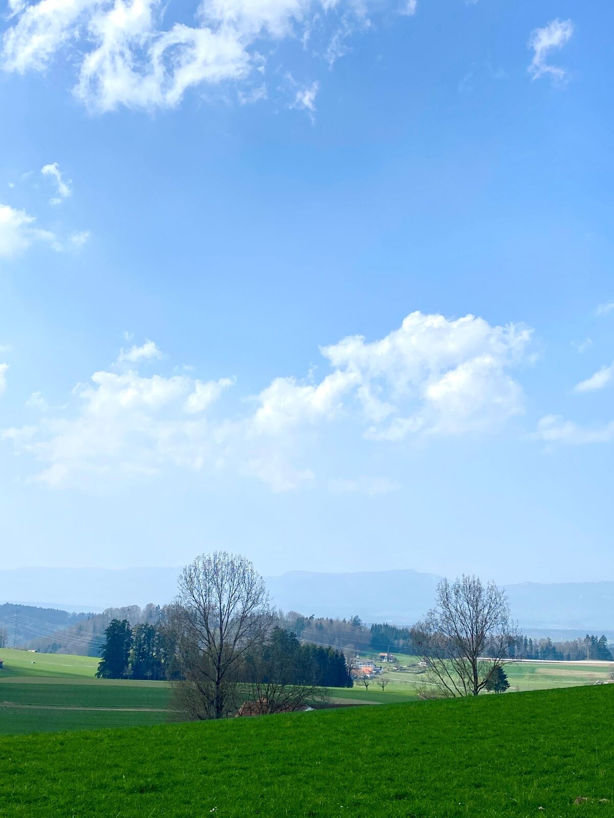
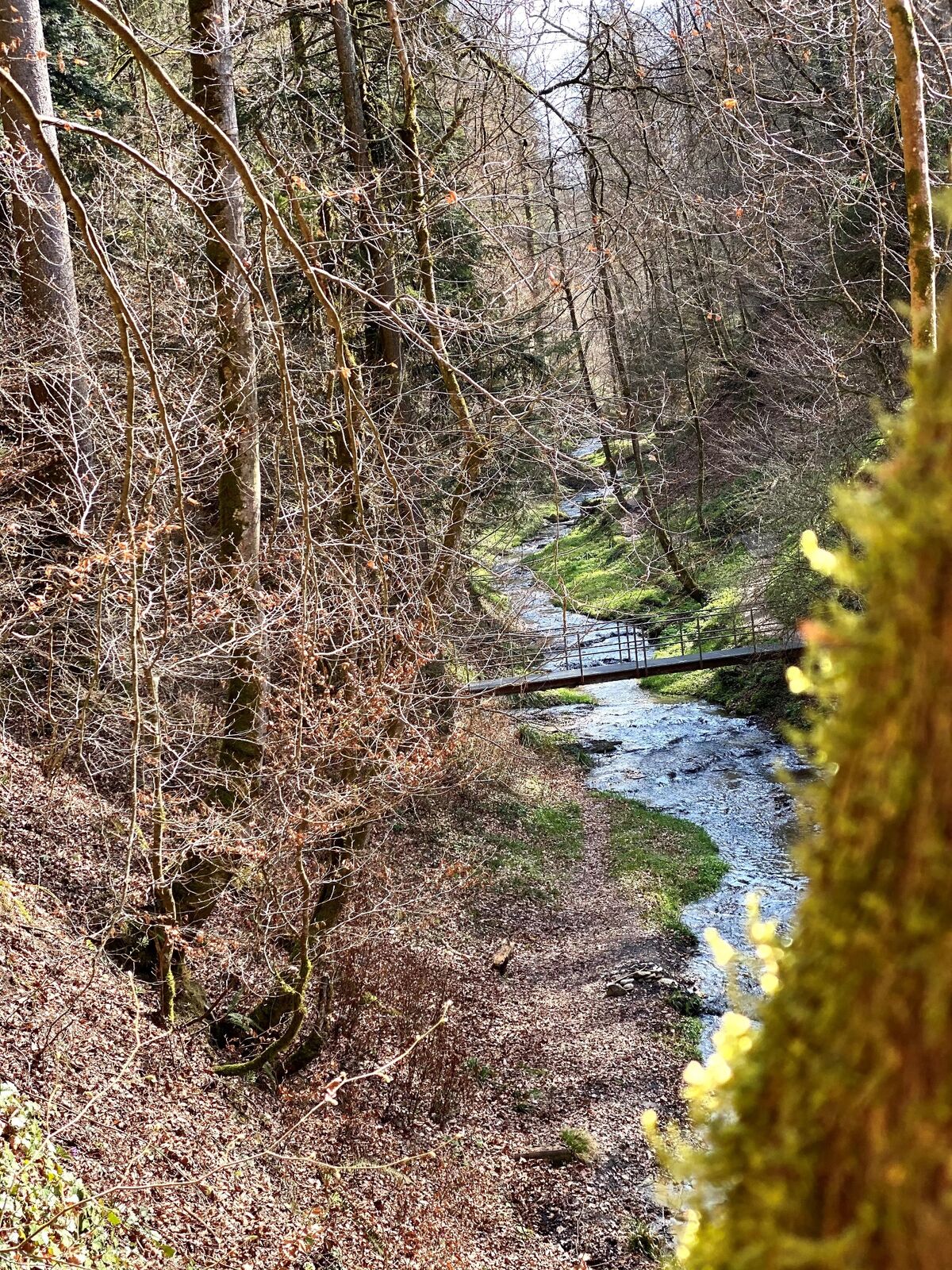
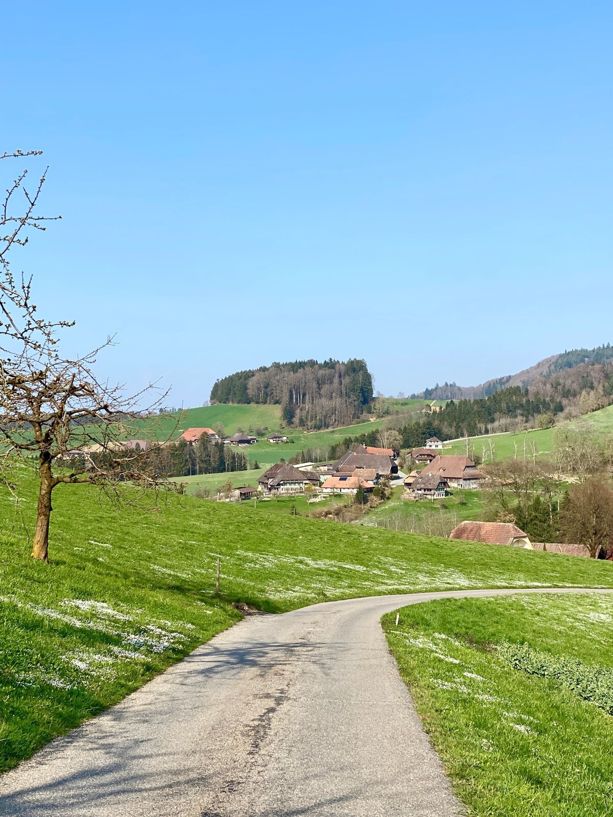
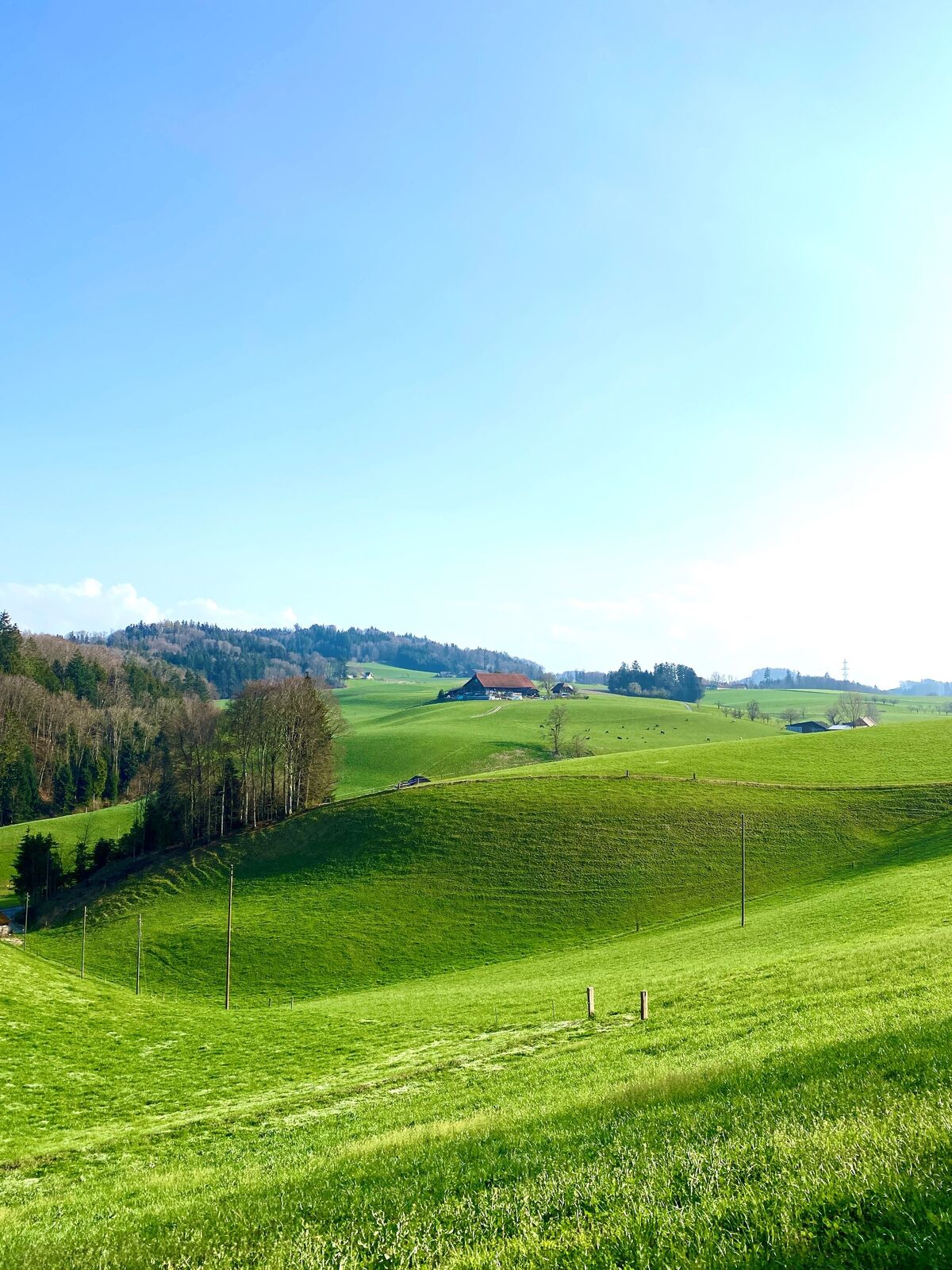
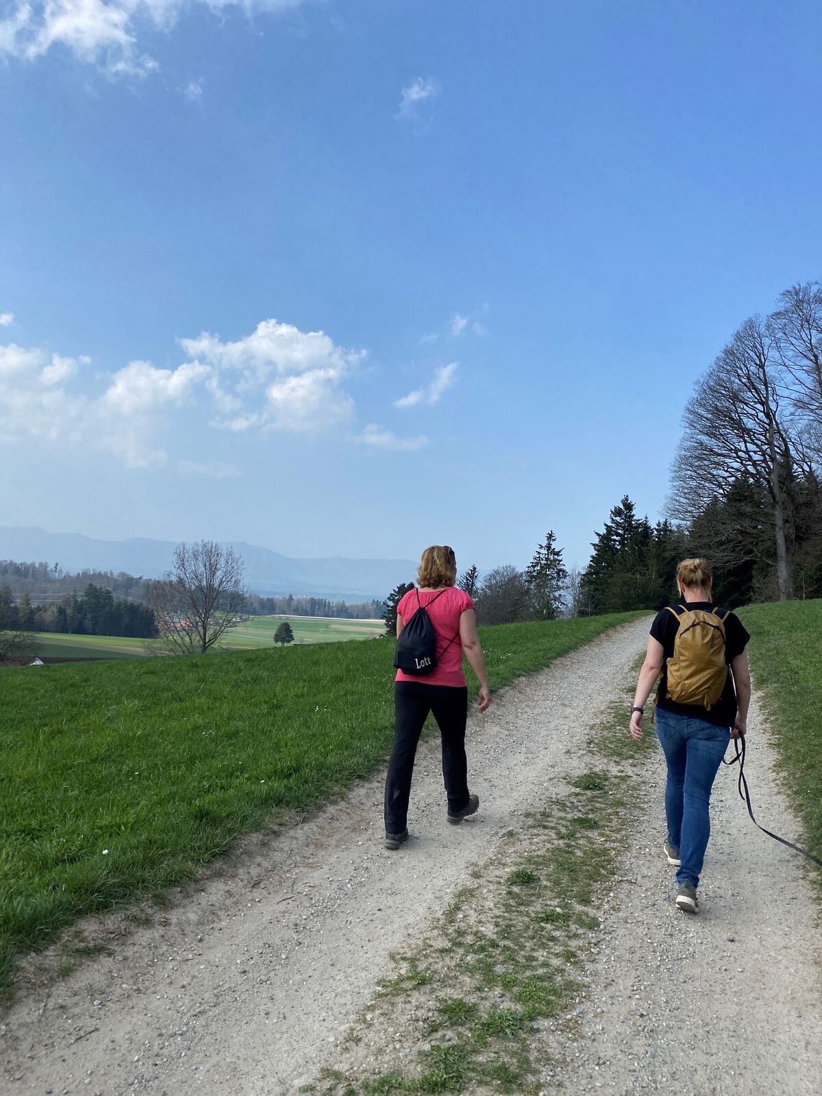
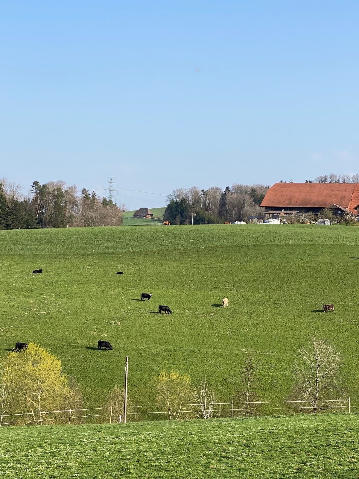
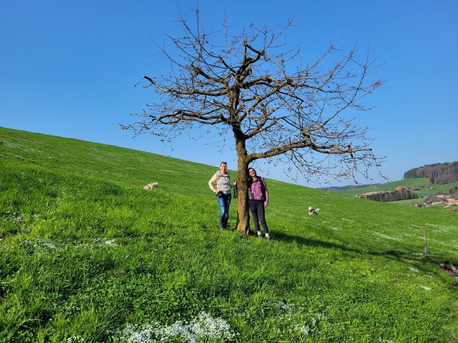
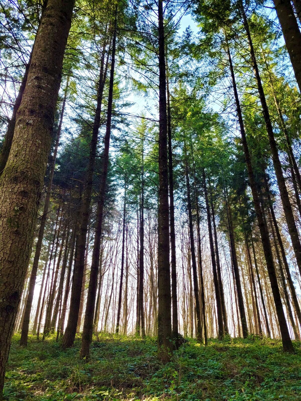
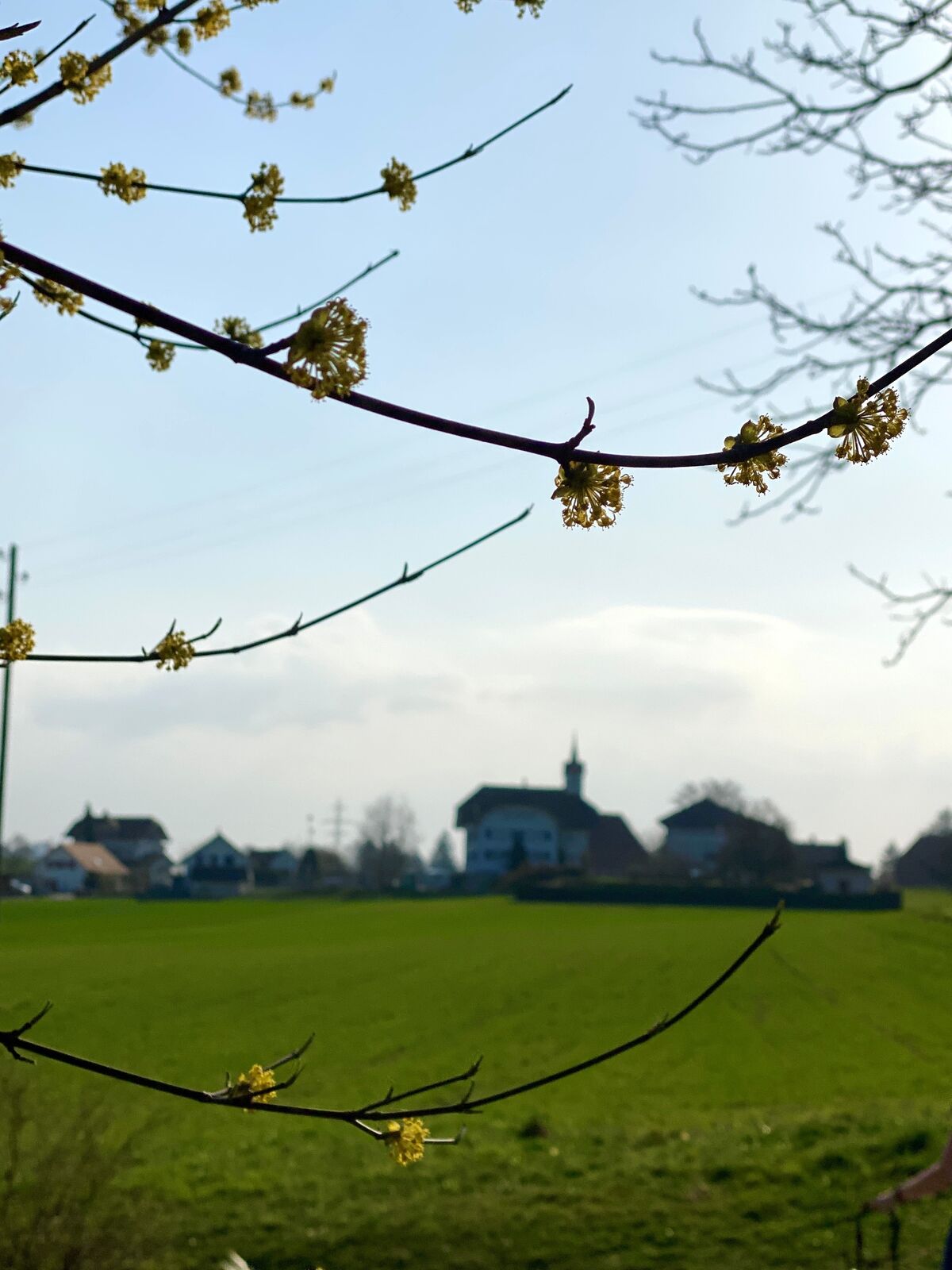
Eine kurzweilige Wanderung mit viel Abwechslung.
- Difficulty
-
medium
- Rating
-
- Route
-
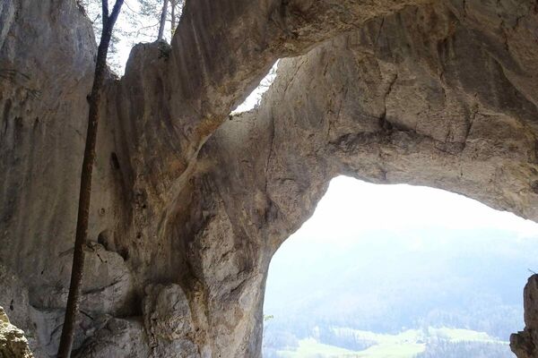
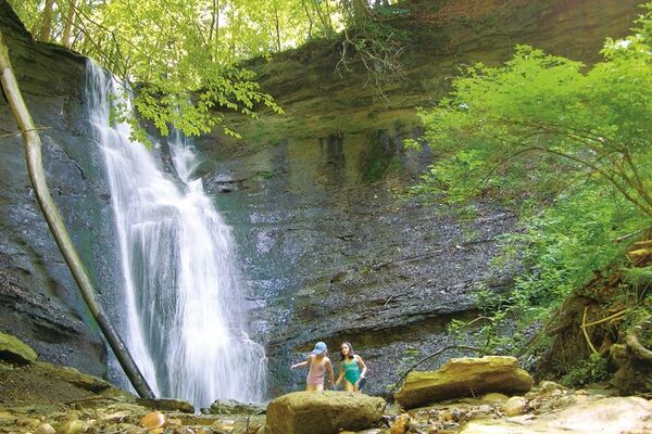
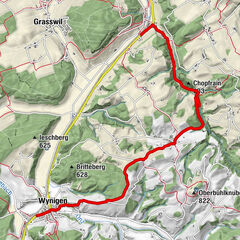
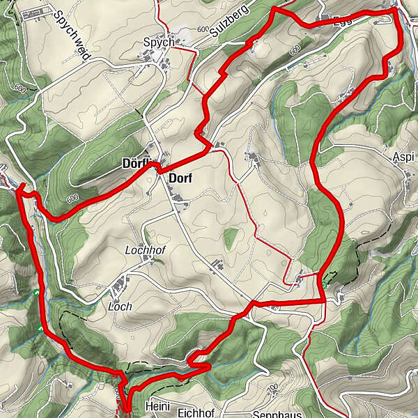
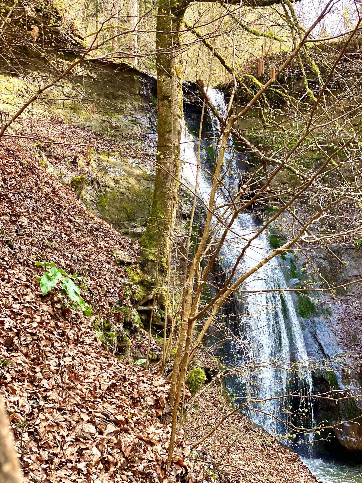
schöner Ort0.7 kmMutzbachtalhöhle0.8 kmChopfrain (633 m)1.3 kmMutzbachfall1.4 kmOchlenberg5.8 kmDorf8.0 kmOschwand8.1 kmDörfli8.3 km
- Best season
-
JanFebMarAprMayJunJulAugSepOctNovDec
- Highest point
- 709 m
- Endpoint
-
Landi Riedtwil oder Parkplatz bei Mutzbach
- Height profile
-
 © outdooractive.com
-

-
AuthorThe tour Buchsi-Berge & Wasserfall is used by outdooractive.com provided.
GPS Downloads


General info
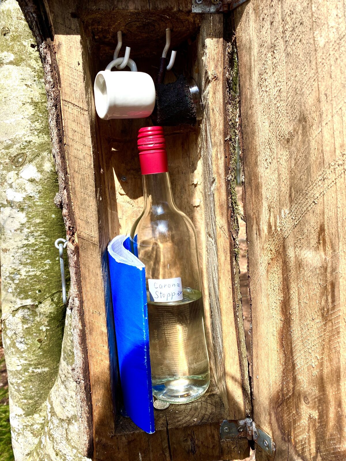
Refreshment stop
A lot of view
Other tours in the regions
-
Solothurn und Region
1455
-
Oberaargau
718
-
Thörigen
156